A week after completing Section 5, we knocked out the 10.2-mile Section 6 on Halloween, Saturday, October 31, 2026. The entire section runs through Harriman State Park.
We left a car in the parking area off Route 6 (41.315976°, -74.050148°), where the section ends, then shuttled to Lake Skannatati, where Section 5 left off.
Lake Skannatati
We hit the trail just before sunrise. A few low clouds to the east lit up in pink, reflecting in Lake Skannatati. The leaves were just past peak, but still amazingly colorful.
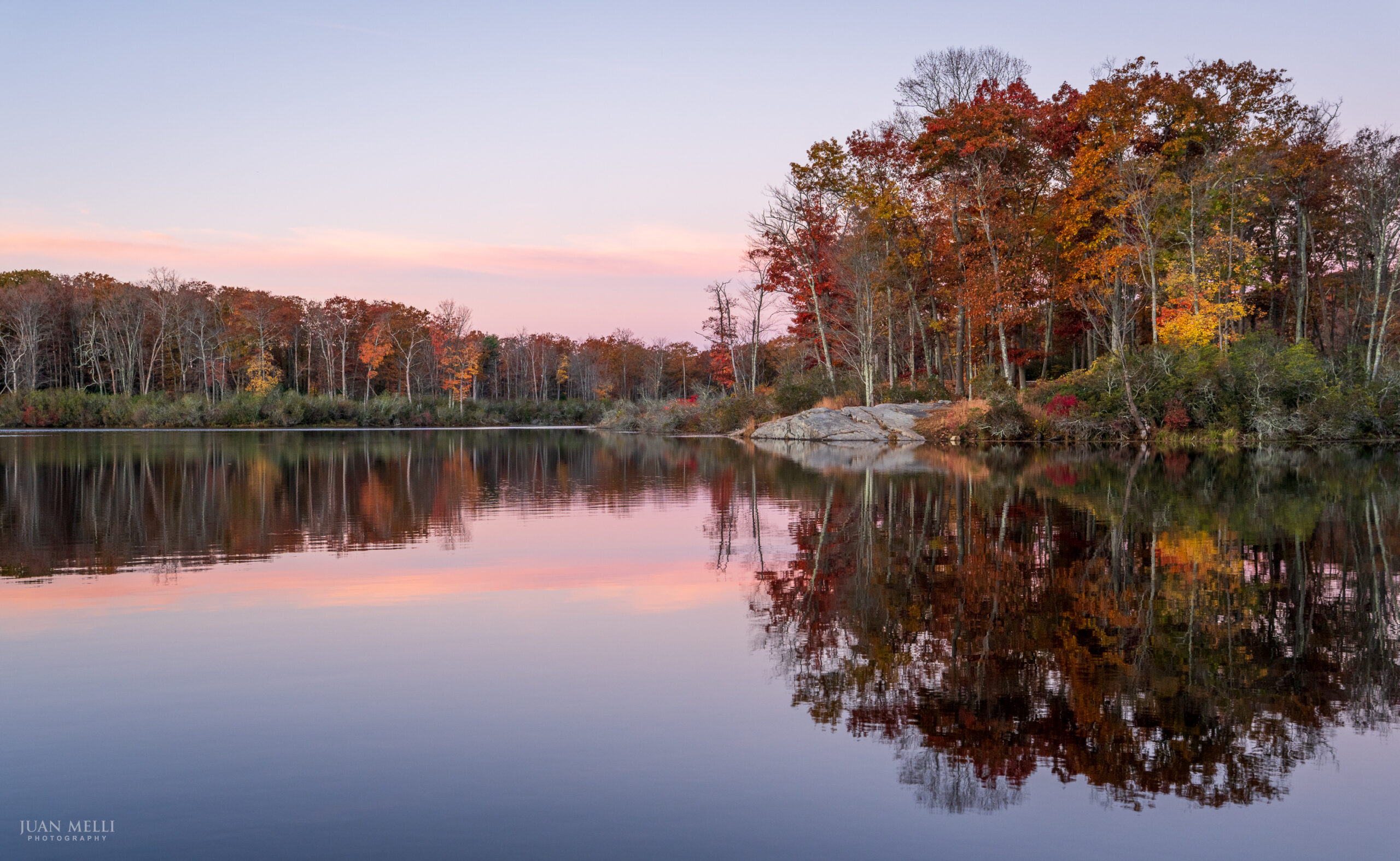

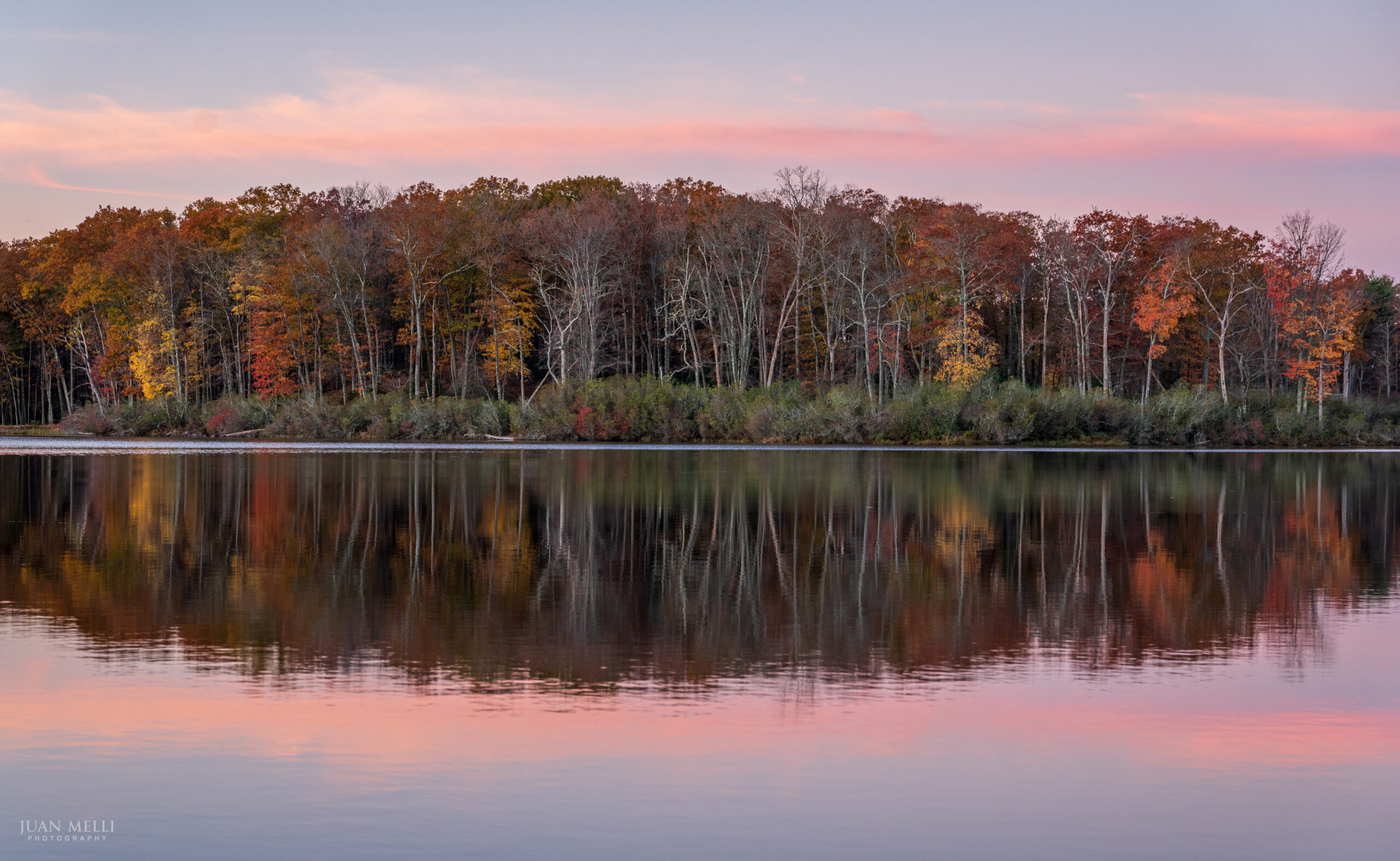

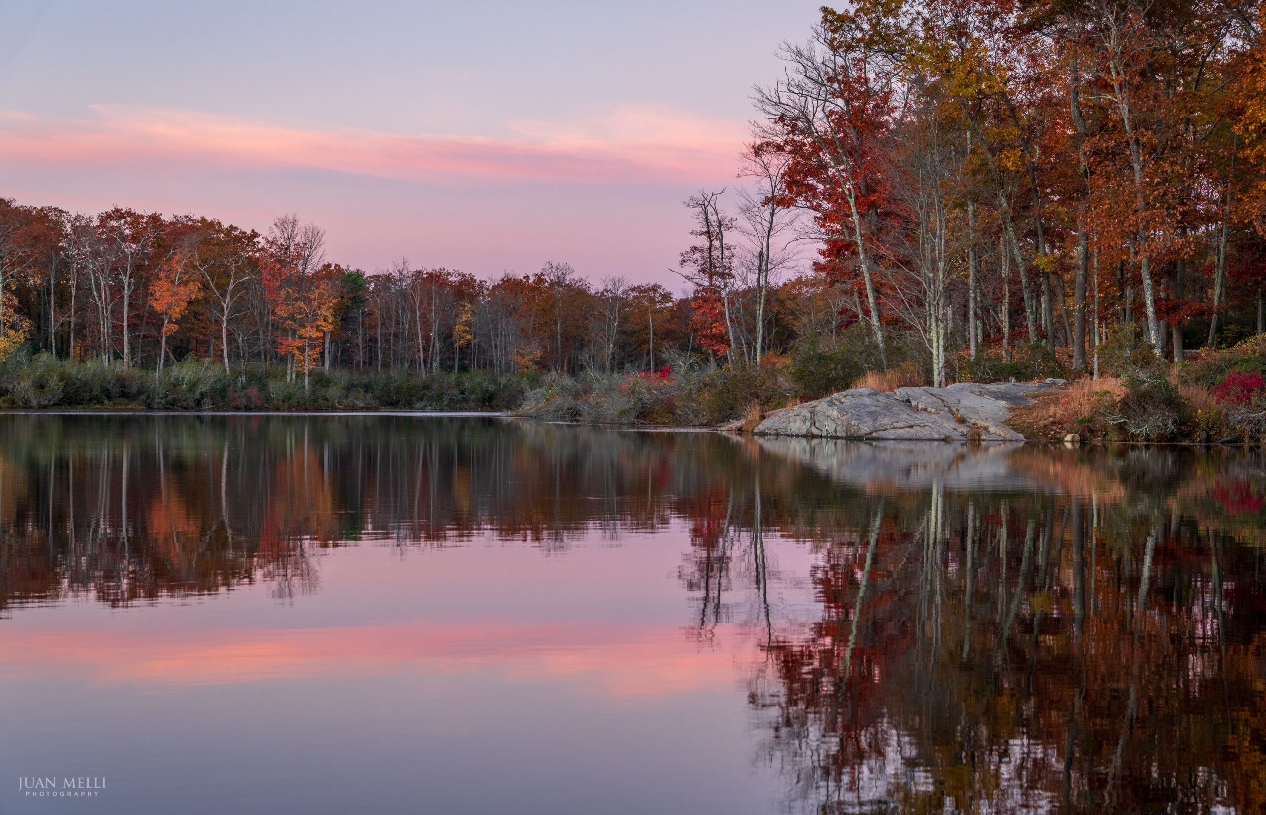

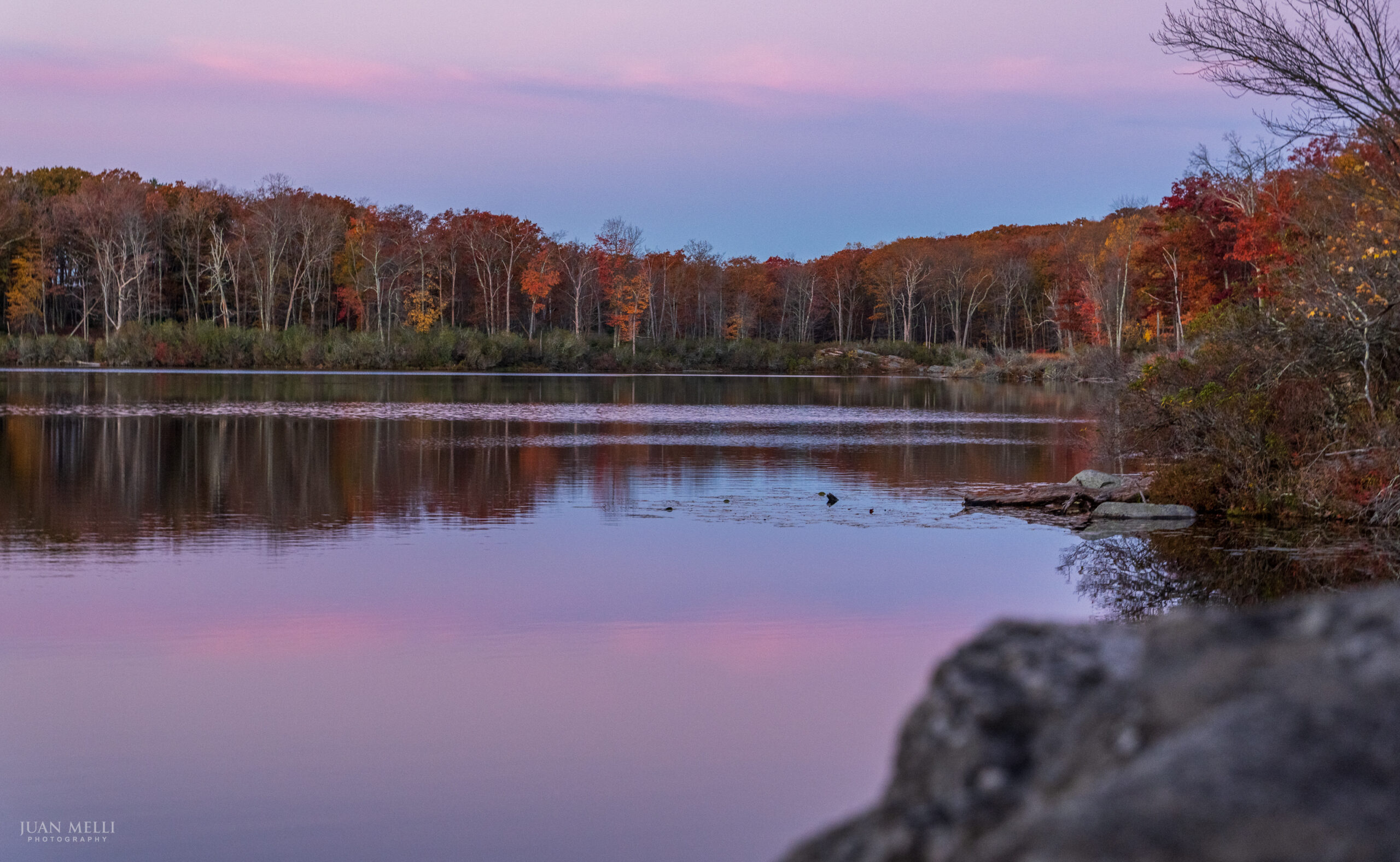

From the lake, the trail passes a shaft of the Hogencamp Mine, once one of the largest iron mines in the park, along with stone foundations from its mining community, then Cape Horn, an overhanging rock.
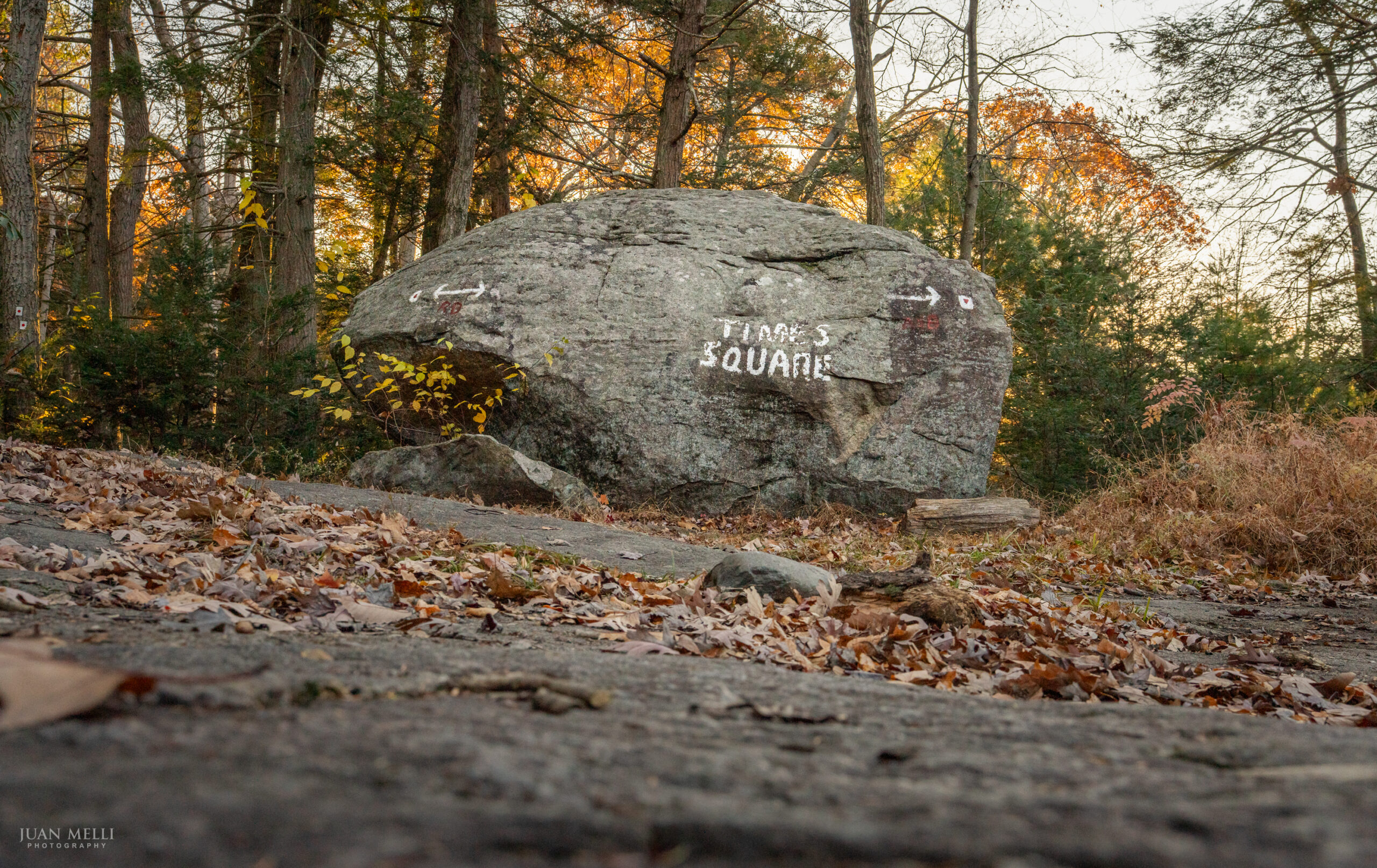
Times Square
About 2 miles into the section, we reached Times Square. Like the better-known Times Square, where Broadway, Seventh Avenue and 42nd Street come together, this Times Square is a crossroads too, marked by a massive boulder at the junction of the Long Path, the Arden-Surebridge Trail (A-SB, red triangle on white) and the Ramapo-Dunderberg Trail (R-D, red dot on white).
Crossing the Appalachian Trail
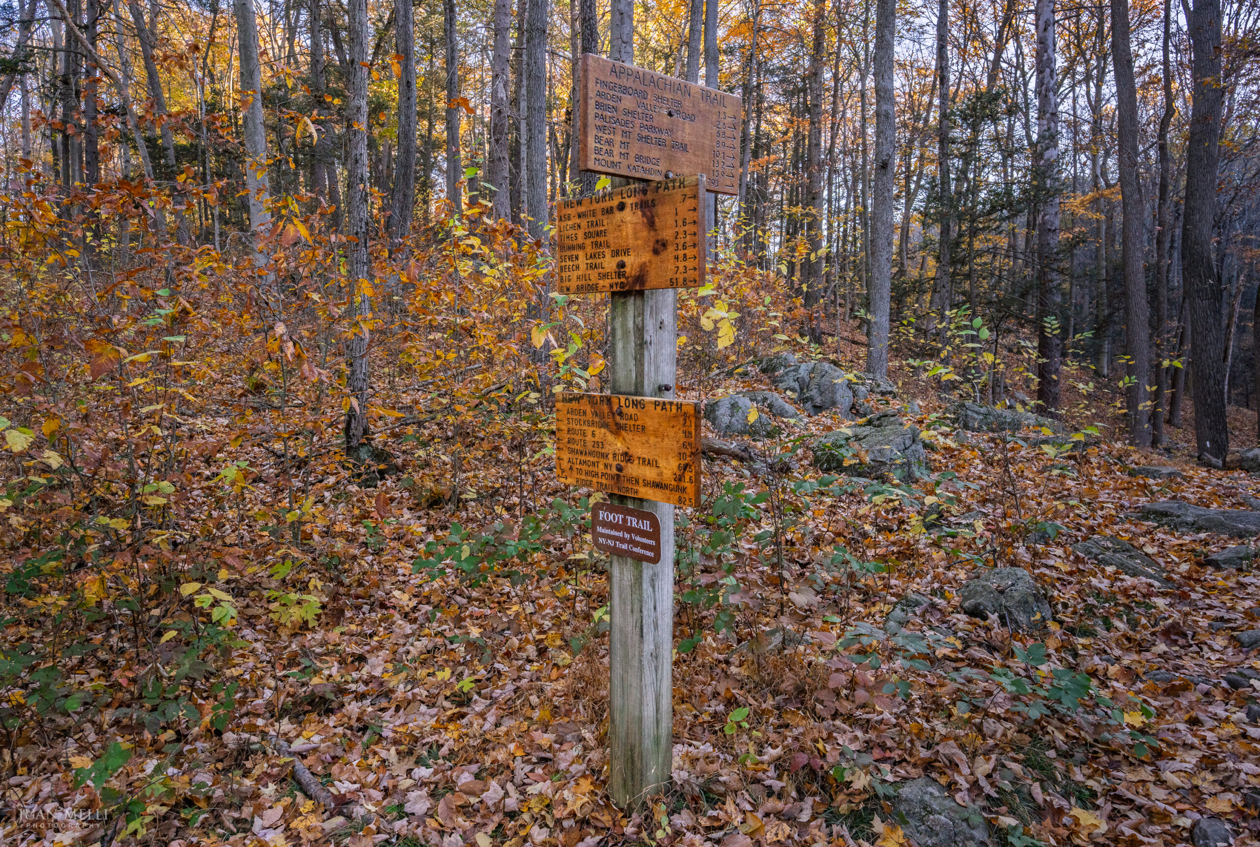
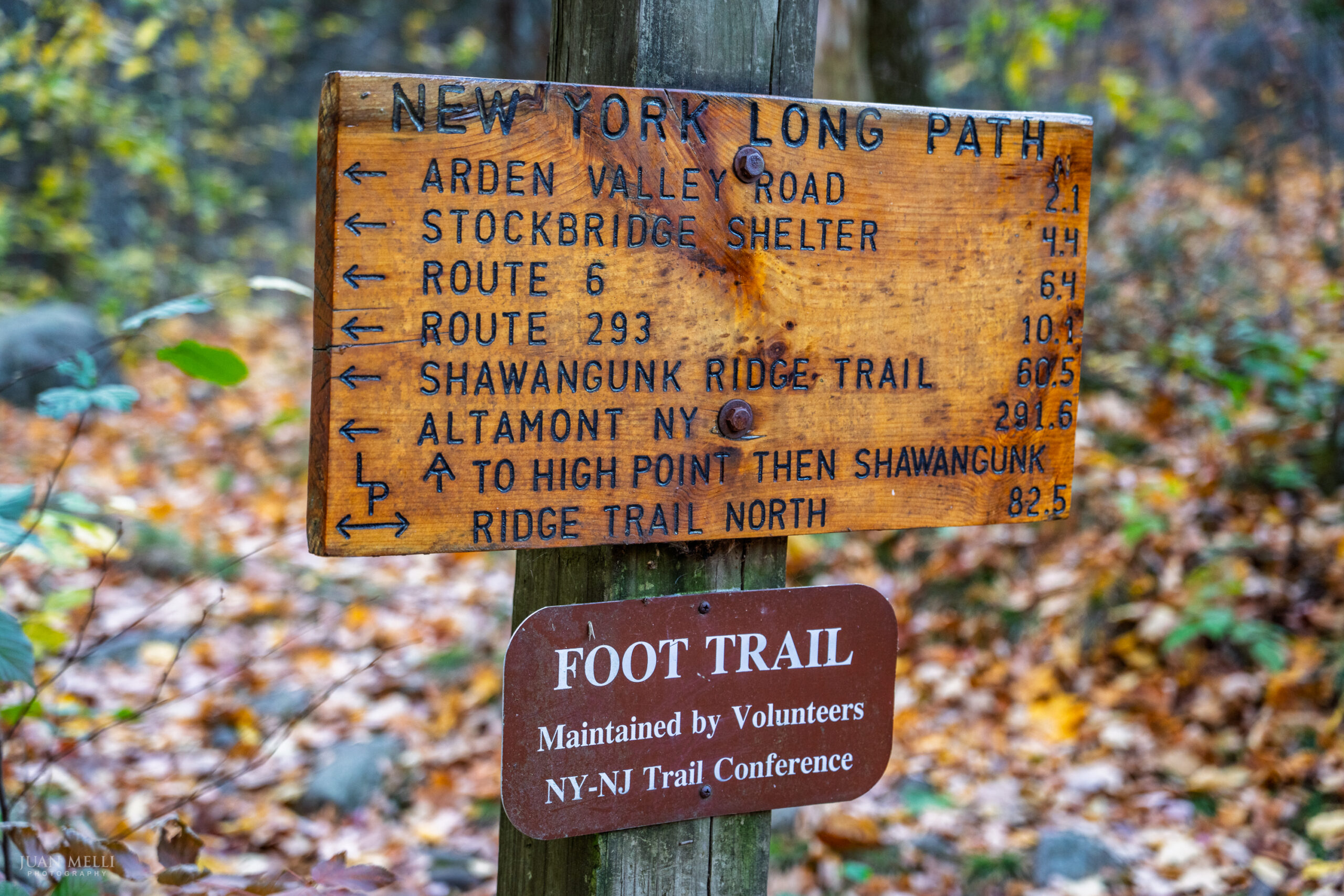
At 3.6 miles, the Long Path crosses the Appalachian Trail at a signpost with distances to landmarks along both trails, all the way to their ends. Signs point north and south on each trail, though the one listing distances south on the AT is no longer there.
Going by the signs, a hiker who started at Springer Mountain, Georgia, would have traveled 1,365 miles by this point, with another 793 miles to go to reach Mount Katahdin in Maine. The signs have been up a while and the AT gets rerouted over the years, so today’s exact numbers may differ a bit.
On the Long Path, we were 51.8 miles from the George Washington Bridge to the south and 291.6 miles from Altamont, New York, to the north.
From there, the trail oscillates up and down through the woods, though there’s no climb of more than 200 or 300 feet. We saw a few deer and a few limited viewpoints partly obscured by trees.
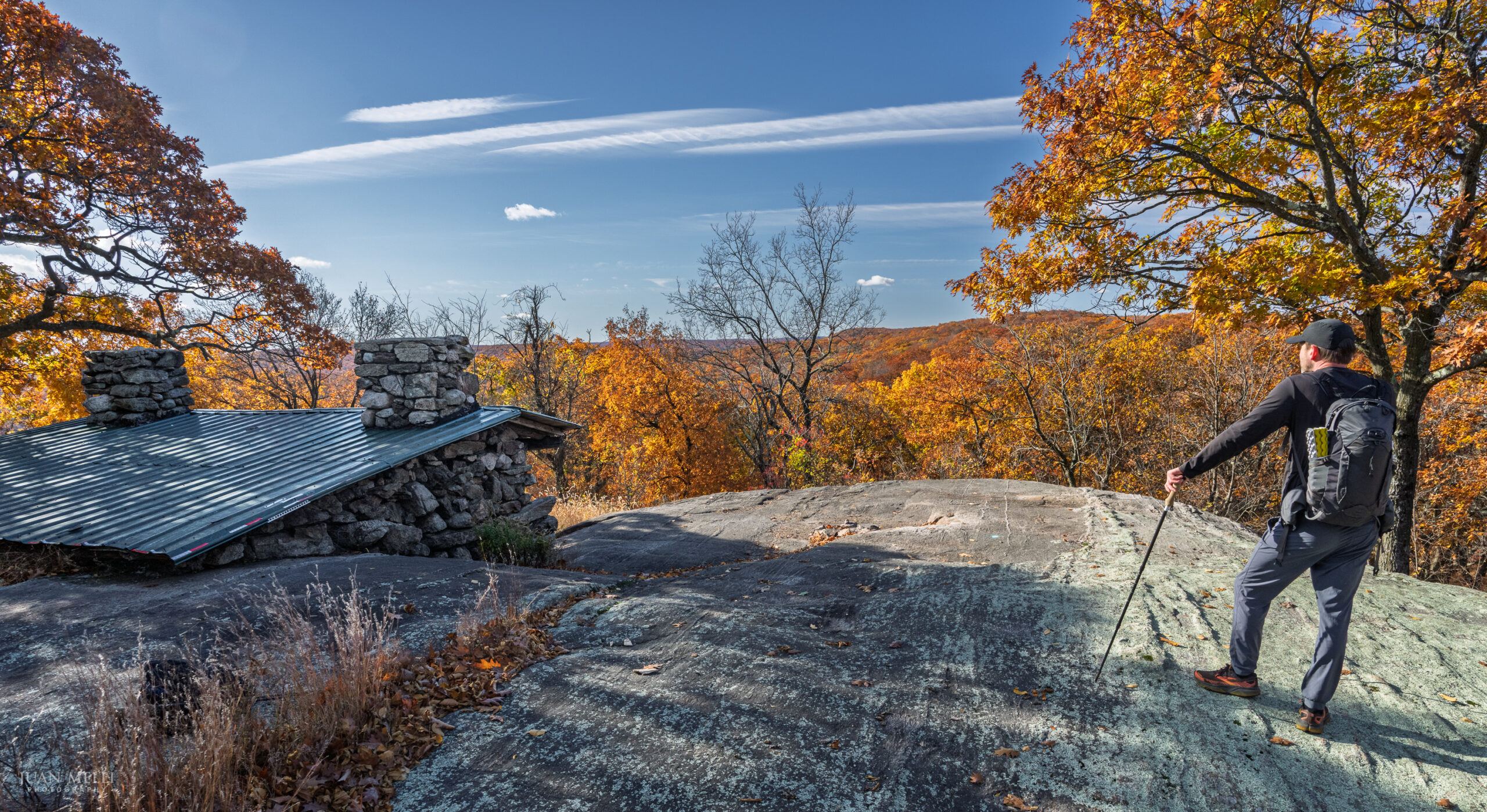
Stockbridge Shelter
At 8.0 miles, the trail climbs to the Stockbridge Shelter, a rock-and-mortar structure on a rock outcrop with partial views to the south.
US Route 6
At 10 miles, the trail crosses US Route 6. With heavy traffic and blind curves in both directions, we had to be patient and wait for a gap to cross and reach the car.