Before I ever owned a serious camera, I had the John Muir Trail.
By then my dad and I had climbed Half Dome, Clouds Rest and, in 2018, Mount Whitney. On the way down from Whitney, a backpacker passed me on her way to Whitney Portal. I asked where she had started. Yosemite, she said. She was finishing the John Muir Trail.
That might have been the first time I really understood that one trail connected the two places I loved most in the Sierra. And that was all it took. Having hiked the start and end points of the JMT, and with a glimpse of the spectacular scenery in between, I knew I wanted to hike it.
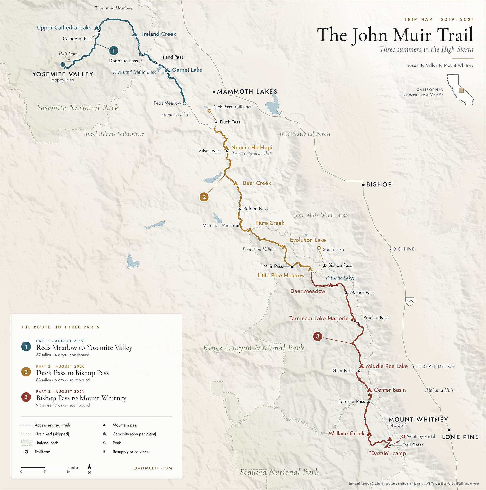
The JMT runs 211 miles from Happy Isles in Yosemite Valley to the summit of Mount Whitney, the highest point in the lower 48 states, plus another 10.6 miles down to the nearest trailhead at Whitney Portal. For 170 of those miles it shares the path of the Pacific Crest Trail. Most thru-hikers take about three weeks. With family and work, I couldn't do it all at once, so I planned it as three section hikes over three summers, from 2019 to 2021, skipping about a dozen miles between Devils Postpile and the Duck Pass junction near Mammoth Lakes. I had read that stretch was fire-scarred and one of the least interesting parts of the trail, and with limited time, we left it out. My dad hiked all three. My brother Francisco joined us for the first and the last.
This trip is also where photography got its hooks in me. I shot the first two sections on my iPhone, and not having to worry about the technical side let me focus on composition: where to stand, what to leave out, when the light was worth waiting for. By the third section I was carrying a Ricoh GR III, and on our second night out I tried night photography for the first time. That Milky Way shot isn't my best night photo anymore, but I'm still really happy with it, and it means a lot to me.
What follows are my trip reports from all three sections, with excerpts from my trail journal and the photographs.
| Section | Dates | Miles | Days |
|---|---|---|---|
| Part 1: Reds Meadow to Yosemite Valley | August 7–10, 2019 | 57 | 4 |
| Part 2: Duck Pass to Bishop Pass | August 8–13, 2020 | 83 | 6 |
| Part 3: Bishop Pass to Mount Whitney | August 7–13, 2021 | 94 | 7 |
Miles are total trail miles, including the access trails to and from the JMT.
Part 1 (2019): Reds Meadow to Yosemite Valley
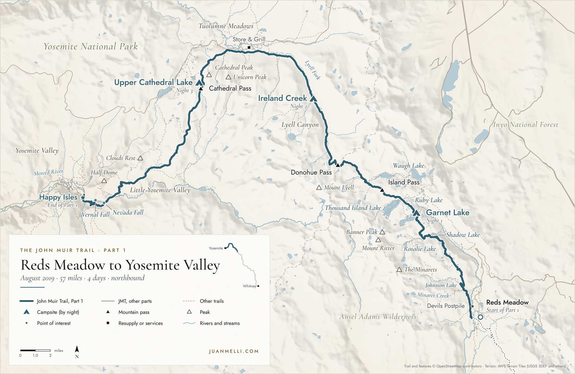
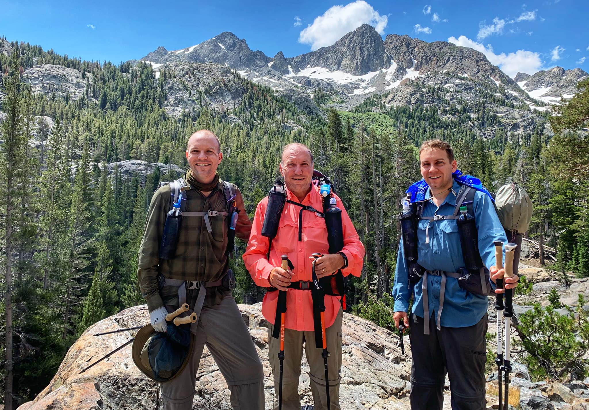
In 2019, I hiked the first section with my dad and Francisco. We started at Devils Postpile National Monument and went northbound, ending at Happy Isles, the traditional starting point of the JMT. We went northbound for two reasons: permits from Inyo National Forest are much easier to get than those starting from Yosemite, which require winning a lottery, and the trail is easier going north, with a net elevation drop and no grueling hike out of Yosemite Valley with fully loaded packs.
Getting there
After flying into San Francisco the night before, my dad and I met up with my brother and in the morning drove to Yosemite Valley. We left our car in the backpacker lot near Happy Isles, took the YARTS bus from Yosemite to Mammoth, picked up our permit from the Mammoth Lakes Welcome Center night box, got dinner, and stayed in a hotel in Mammoth for the night.
Day 1: Reds Meadow to Garnet Lake
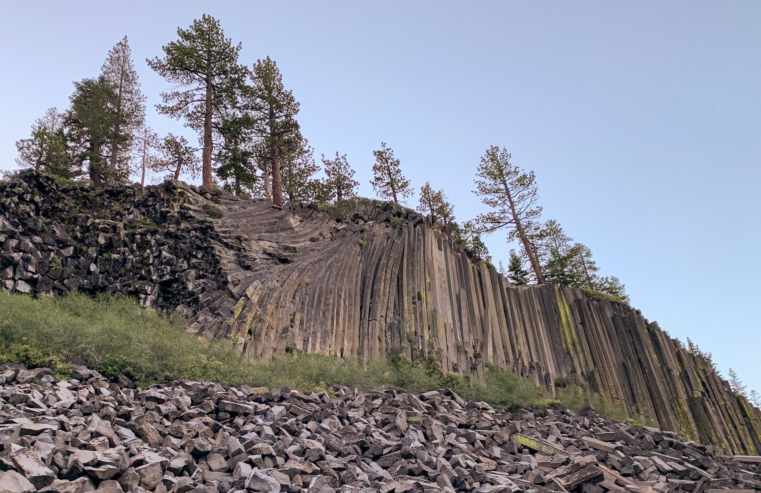
We hired an early morning shuttle to the John Muir Trail North trailhead at Devils Postpile National Monument (thanks, Paul from East Side Sierra Shuttle!). You're not allowed to drive into the area while the Devils Postpile/Reds Meadow bus is running, but we got there very early and set off right before sunrise. We wanted to start here to visit Devils Postpile. It's one of the world's finest examples of columnar basalt: nearly perfectly hexagonal "posts" of basalt. Really cool spot!
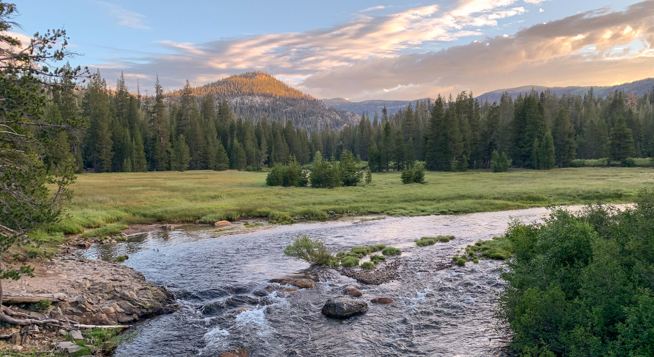
Turning back towards the trail, we immediately crossed the Middle Fork of the San Joaquin River and were treated to a beautiful morning meadow scene.

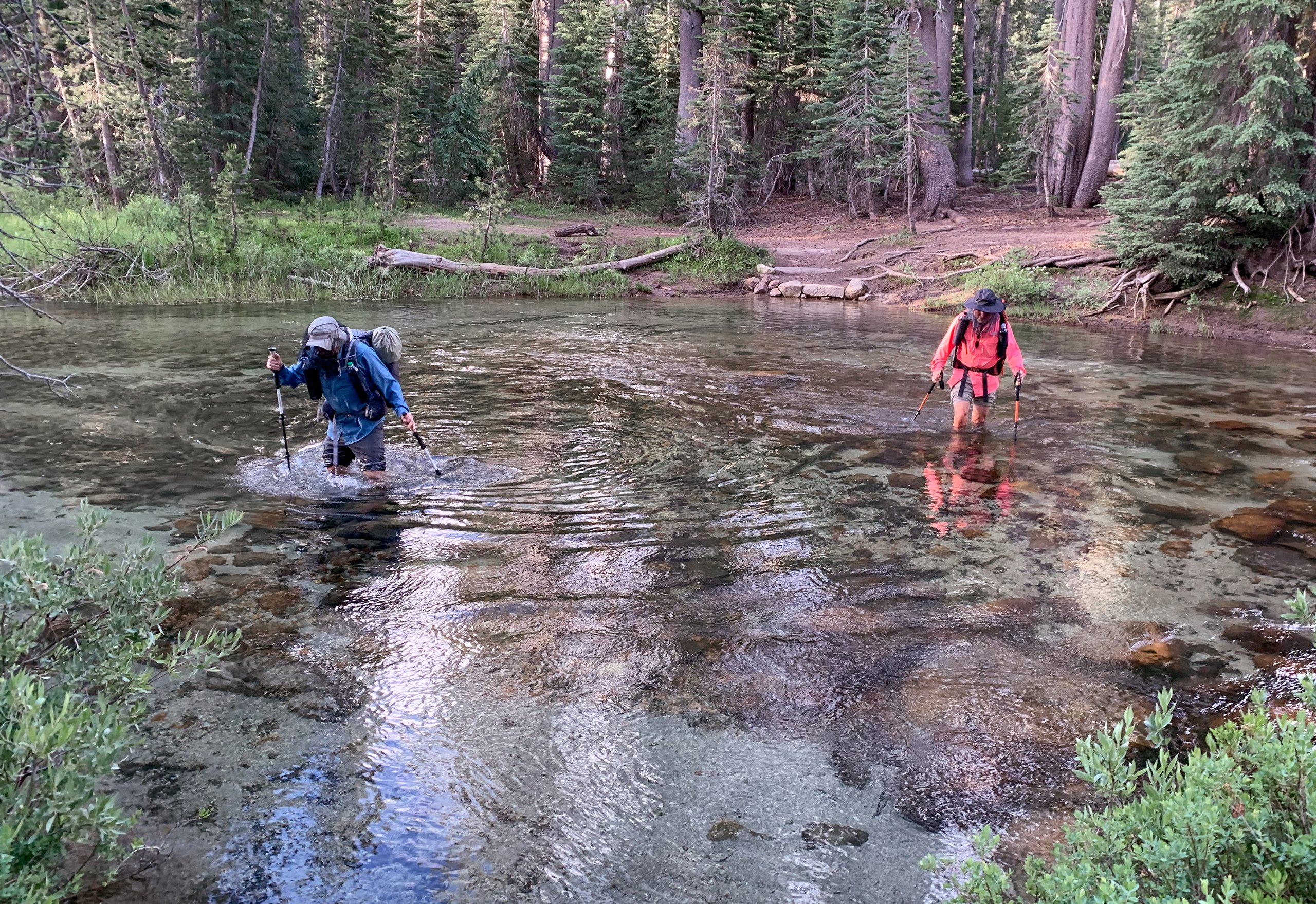
Our only significant water crossing of the trip came at Minaret Creek shortly after leaving Devils Postpile. Apparently the log bridge washed away a few years ago.
Because of the high snowfall year and late melt, mosquitoes were out in full force even in August. With long pants, long sleeves, hat, sun gloves, and a mosquito head net, we were fine as long as we kept moving. I did once forget I was wearing a head net and spit a disgusting amount of phlegm right into it. Yuck.
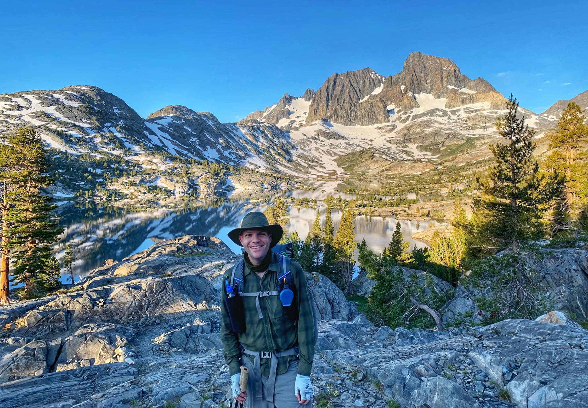
Along the way, we passed several alpine lakes: Rosalie Lake, Shadow Lake, and finally Garnet Lake, where we ended the day. This was my favorite campsite of the trip, maybe because after today, I got sicker and sicker.
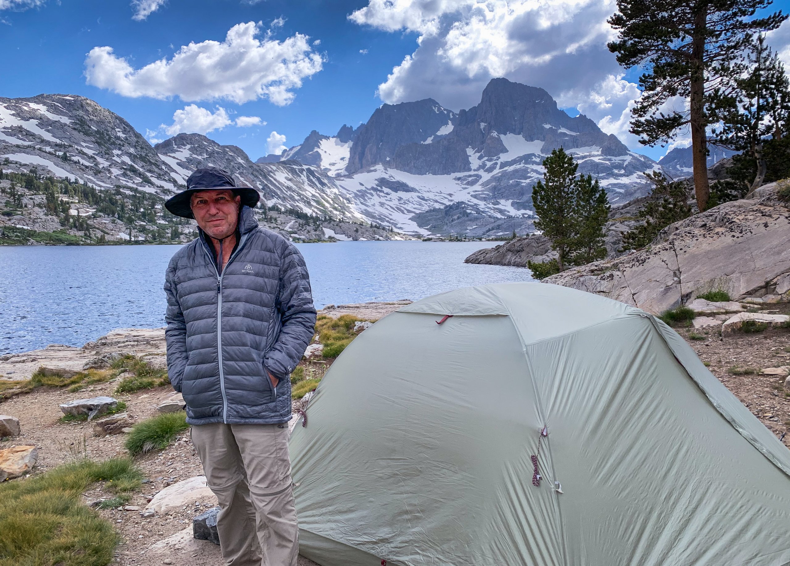
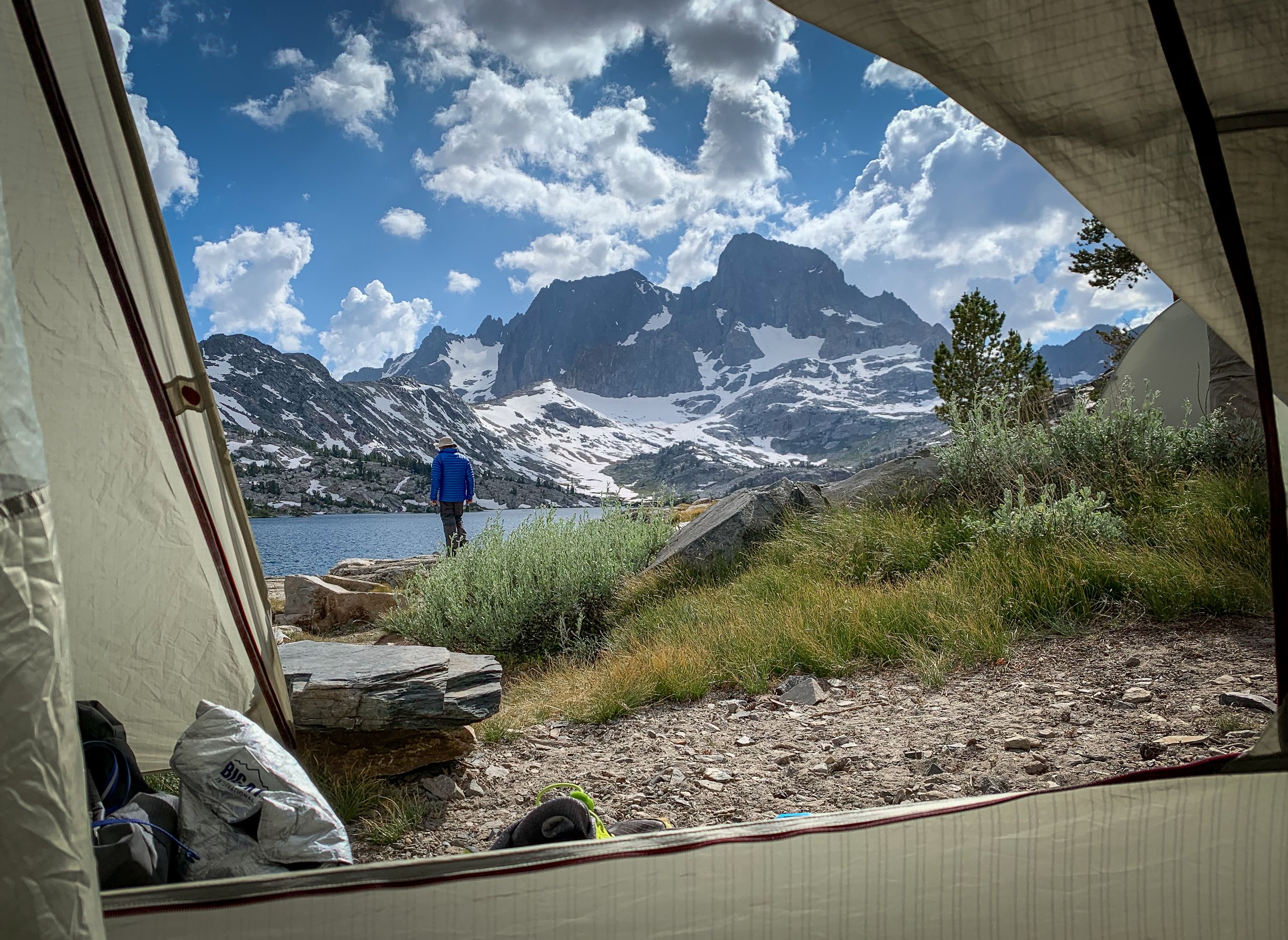
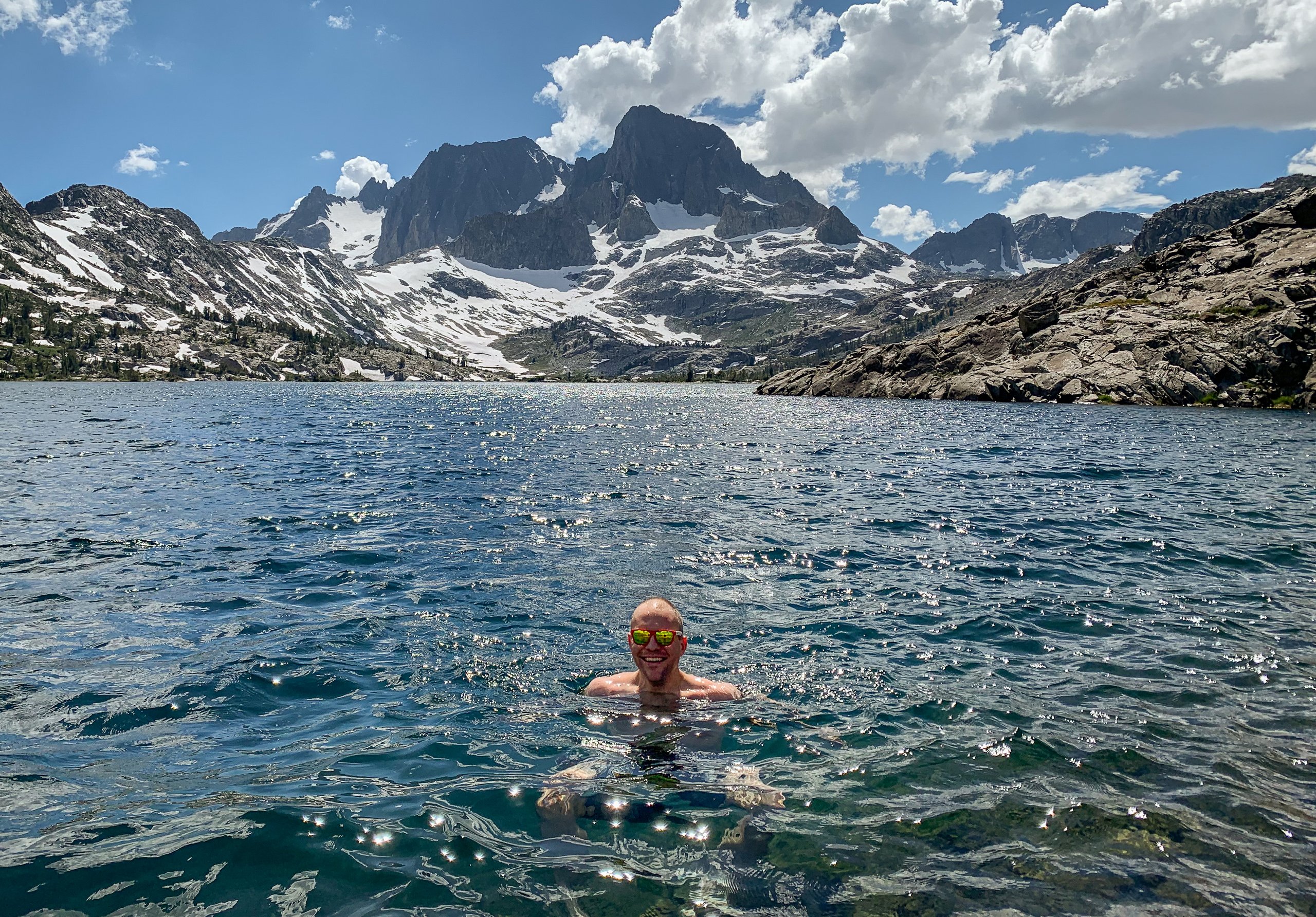
The campsite was crowded, but the sunrise was spectacular, with Banner Peak and Mount Ritter glowing red and reflecting in the mirror-like still water.
Day 2: Garnet Lake to Ireland Creek
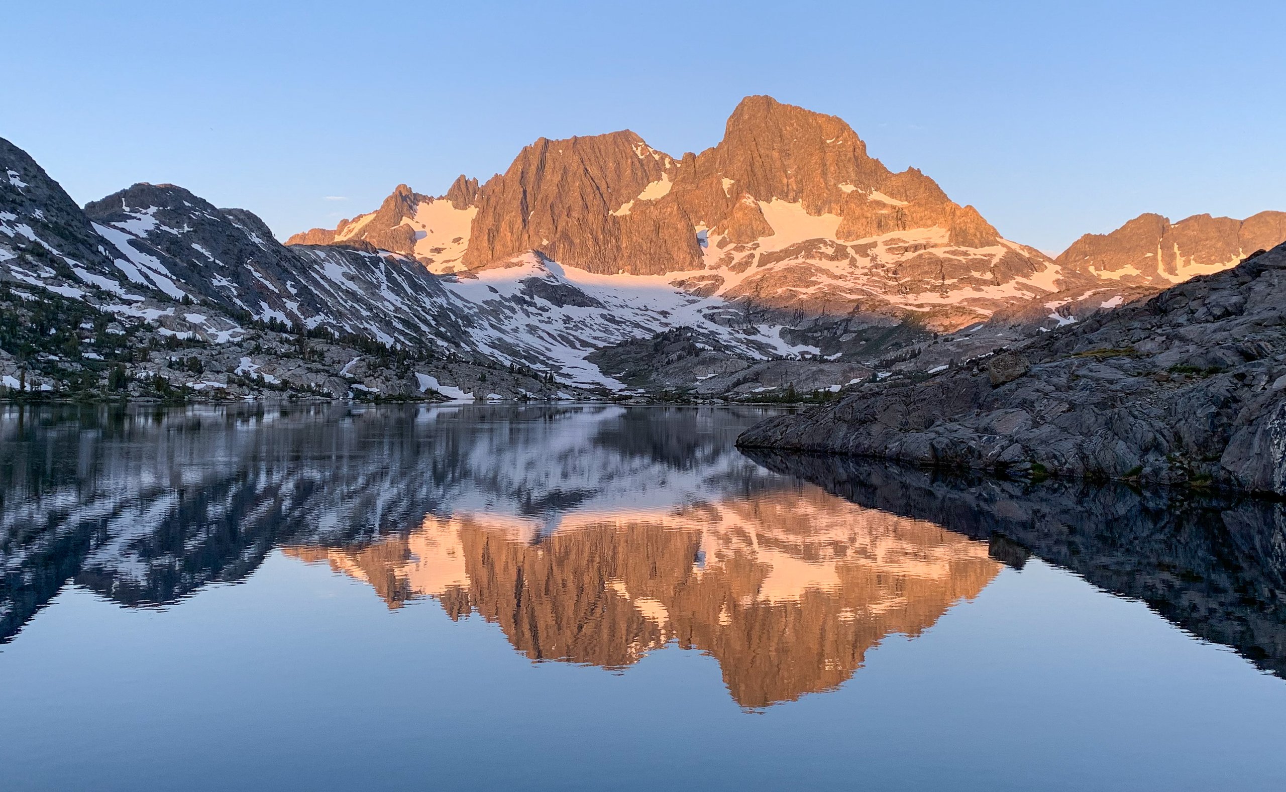

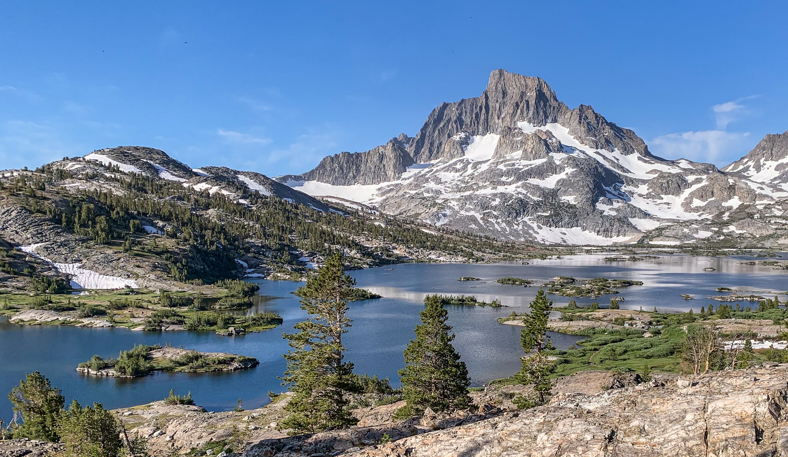
More lakes! Today we passed Ruby Lake and then Thousand Island Lake. So many small islands. Maybe not a thousand, though.

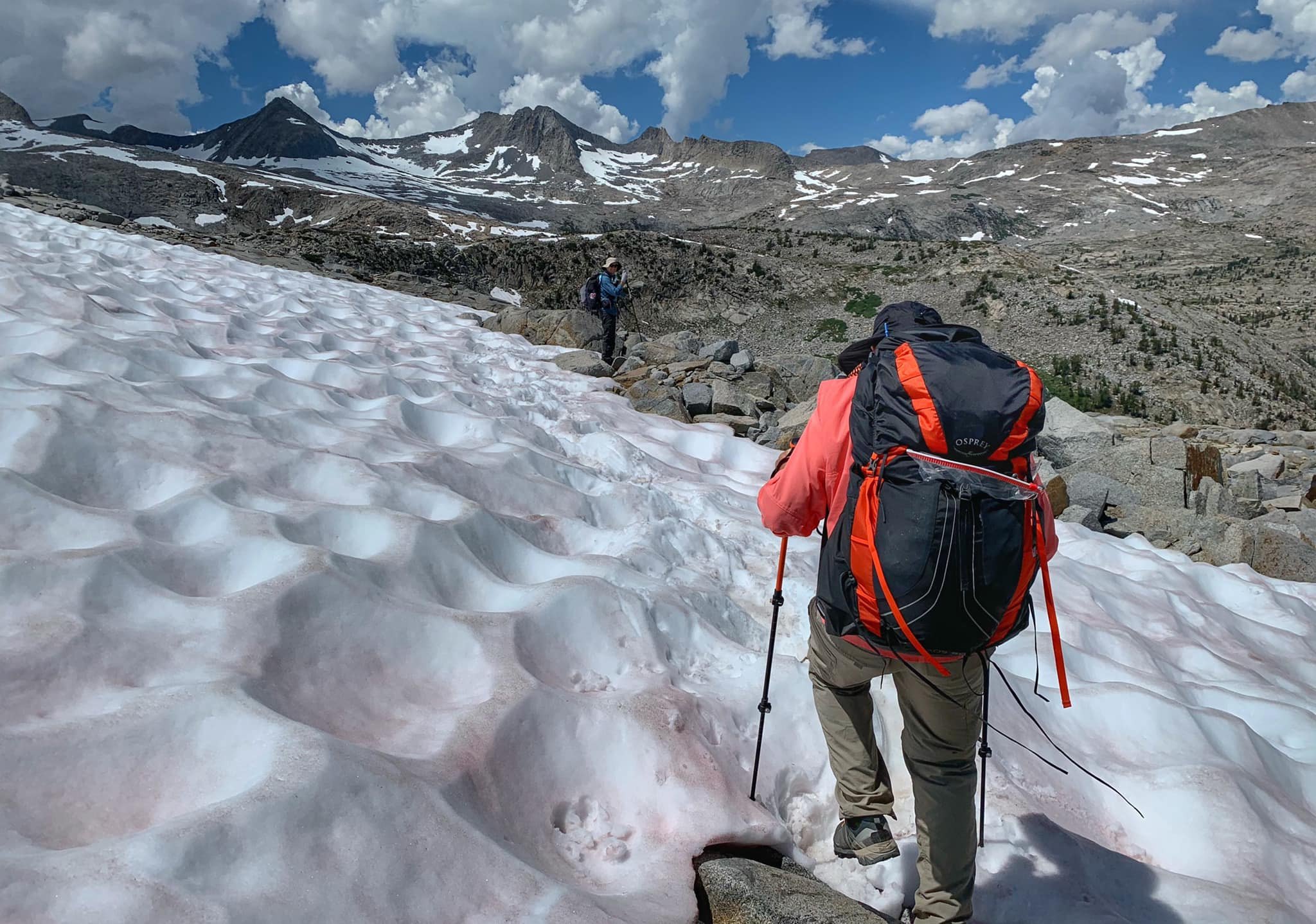
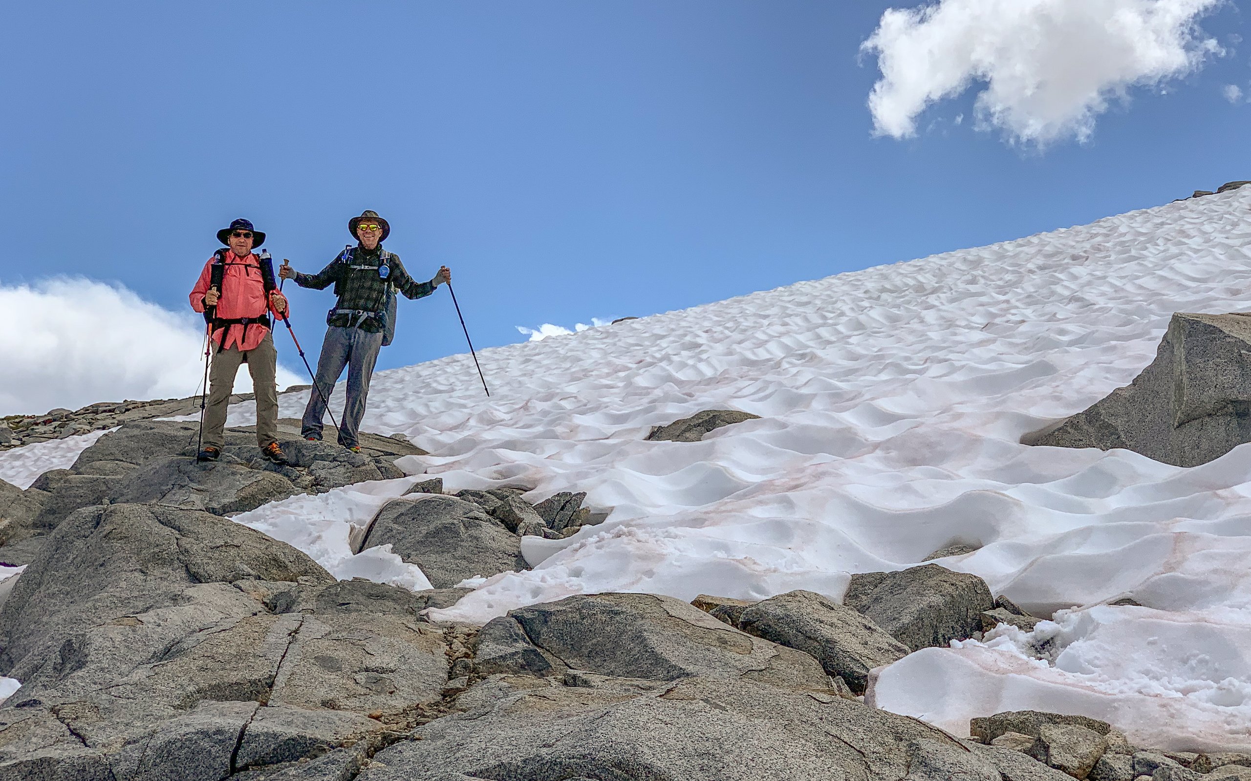
We passed the beautiful Rush Creek, then began the long, grueling hike towards and over Donahue Pass. It was a high snow year, but by the time we went in early August, only a few short sections of snow remained.
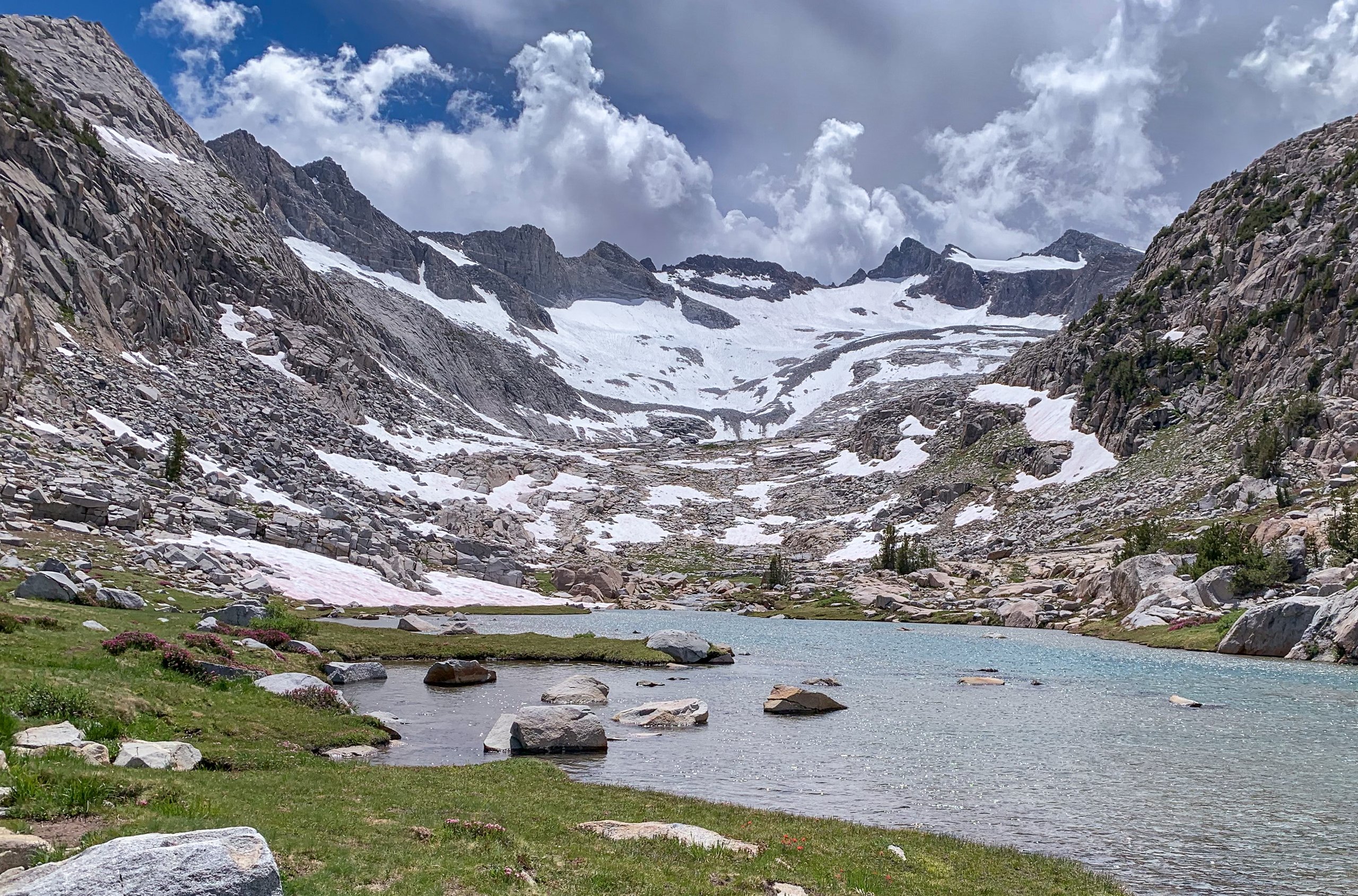
For the next few miles, we descended into Lyell Canyon, passing what is left of the Lyell Glacier along the way. It stopped moving years ago, so it no longer meets the definition of a glacier. The views of Lyell Canyon were one of the highlights of the trip.

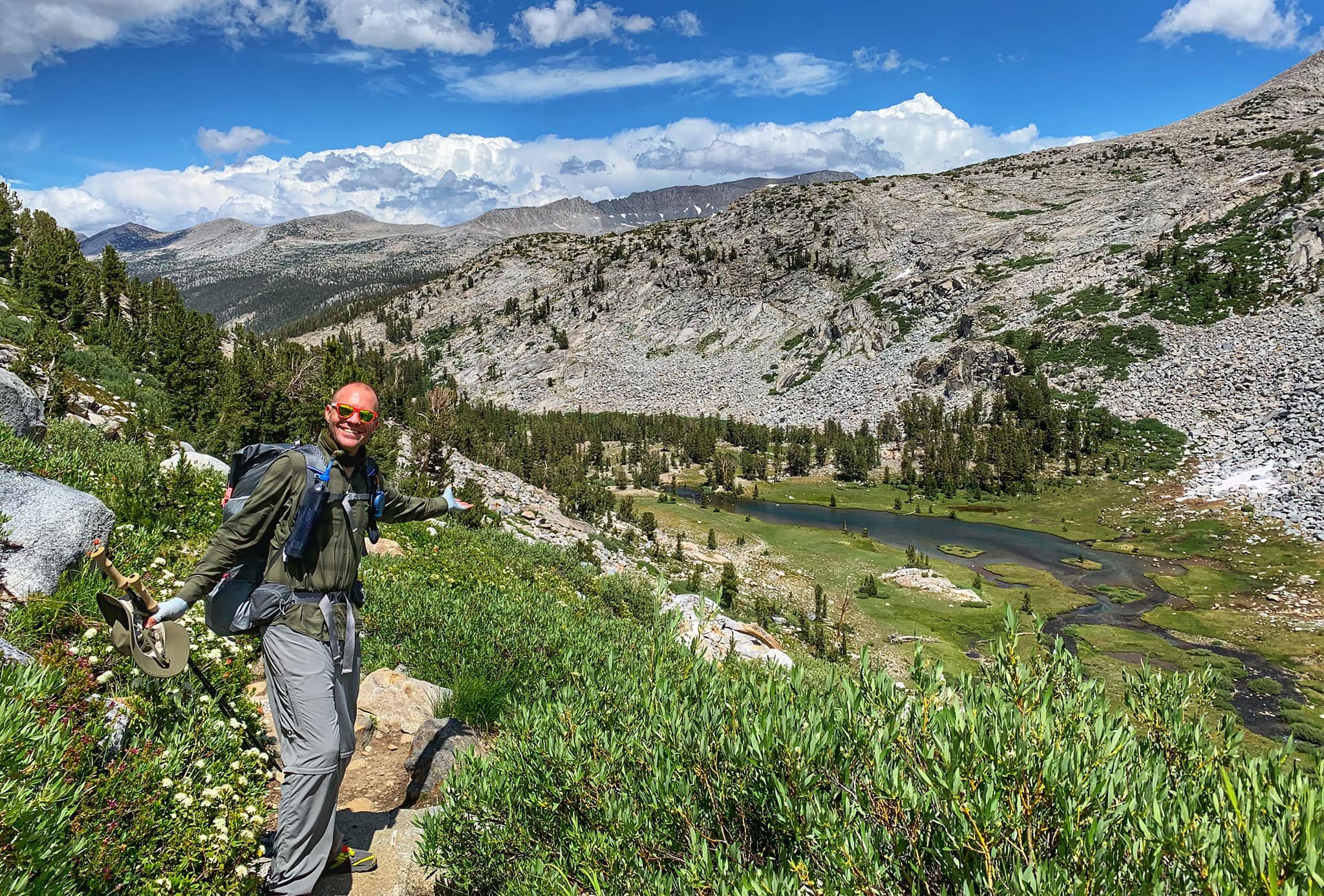
Finally, we crossed Ireland Creek on some fallen logs and camped at a clearing right after the crossing. After a long day, the All-American Works Burgers in tortilla wraps really hit the spot!
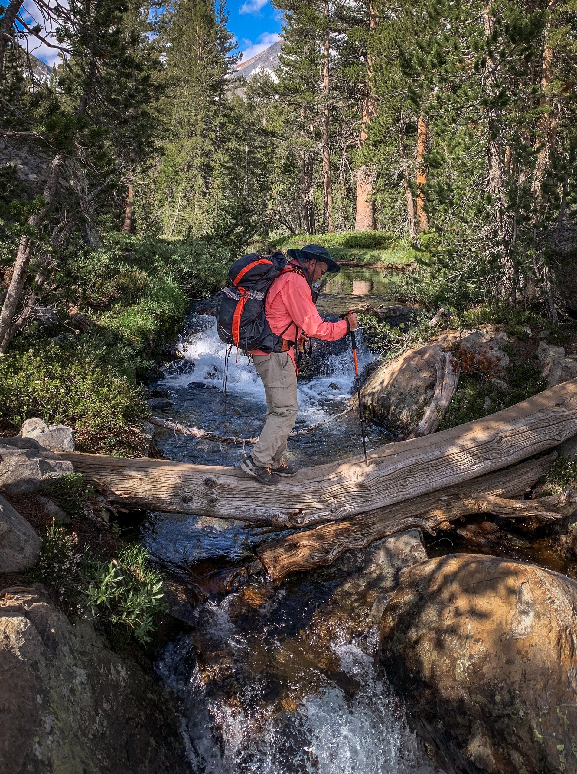
Day 3: Ireland Creek to Upper Cathedral Lake
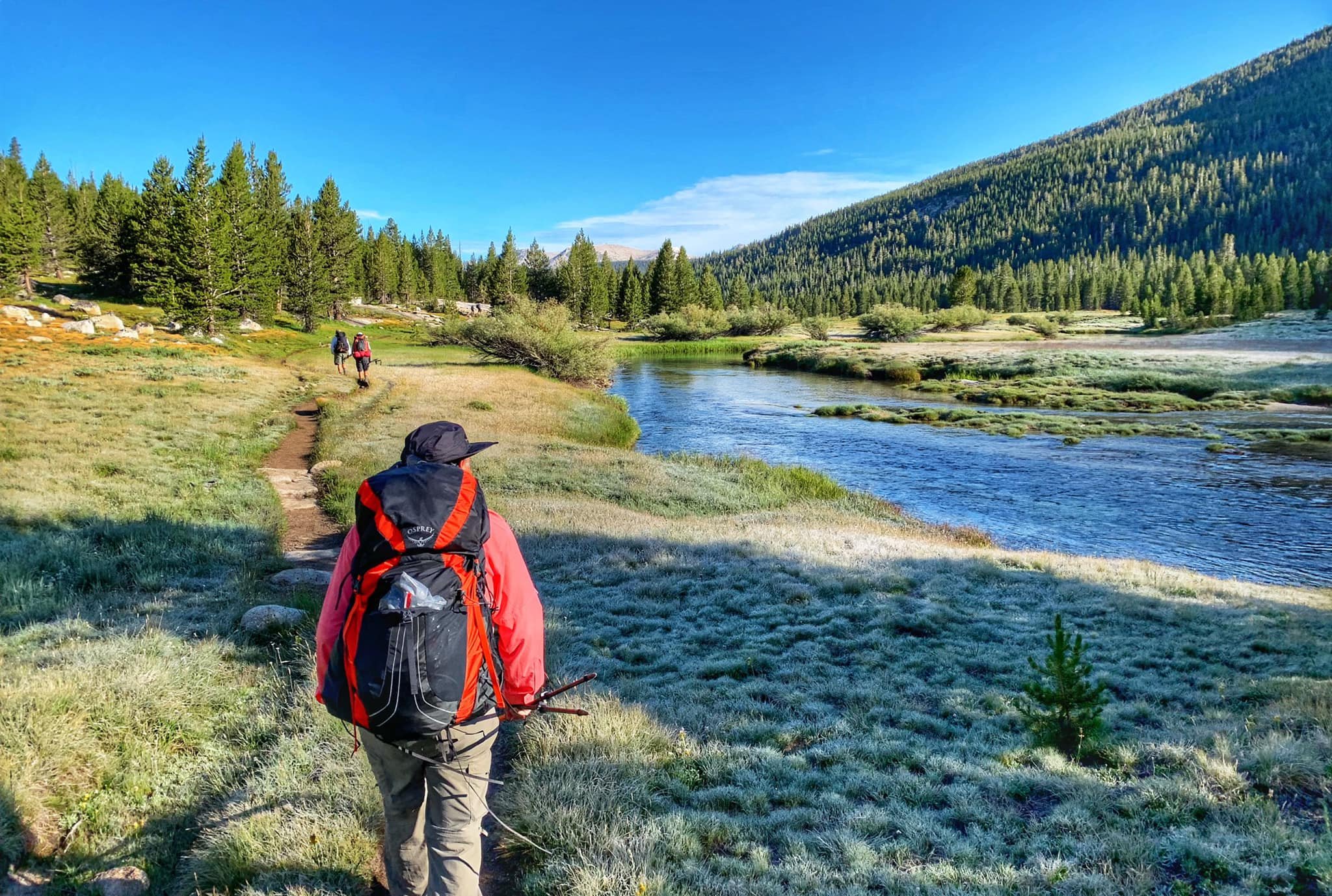
We started the day with instant coffee to take the edge off a chilly, 33-degree morning. We broke camp and hustled to make it to Tuolumne Meadows, where we were looking forward to some greasy cheeseburgers from the grill. There was frost on the grass along Lyell Canyon that melted as the sun peeked over the mountains.
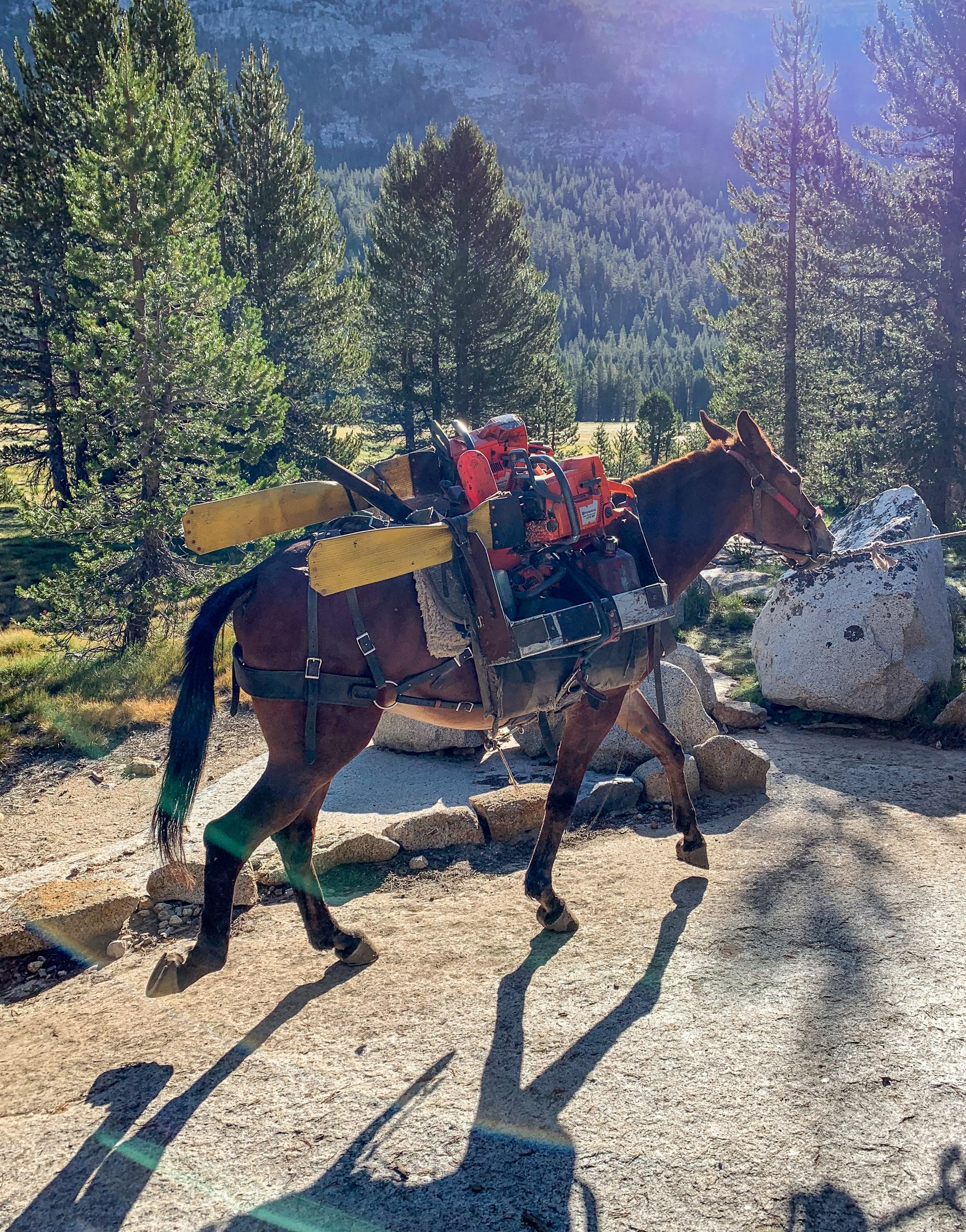
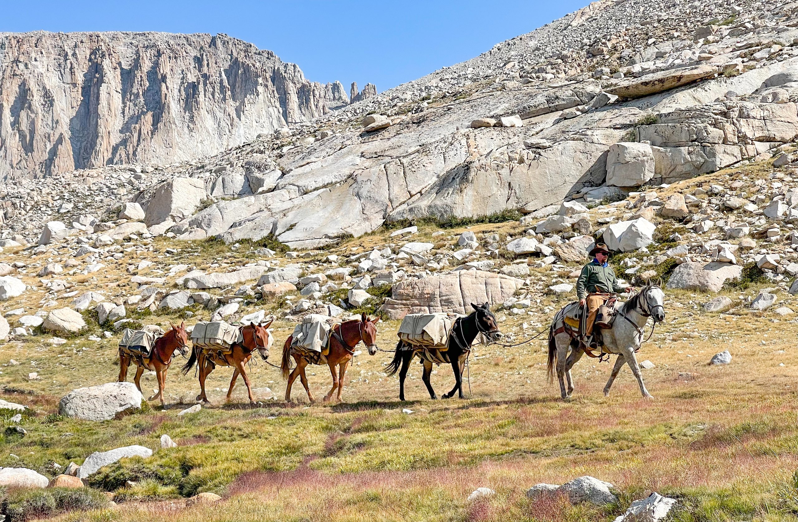
Along the way, we passed a trail maintenance crew, including a mule carrying chainsaws. By 10 a.m., we had reached Tuolumne Meadows, where we had burgers, potato wedges, and ice cream from the grill and charged our phones at the store.
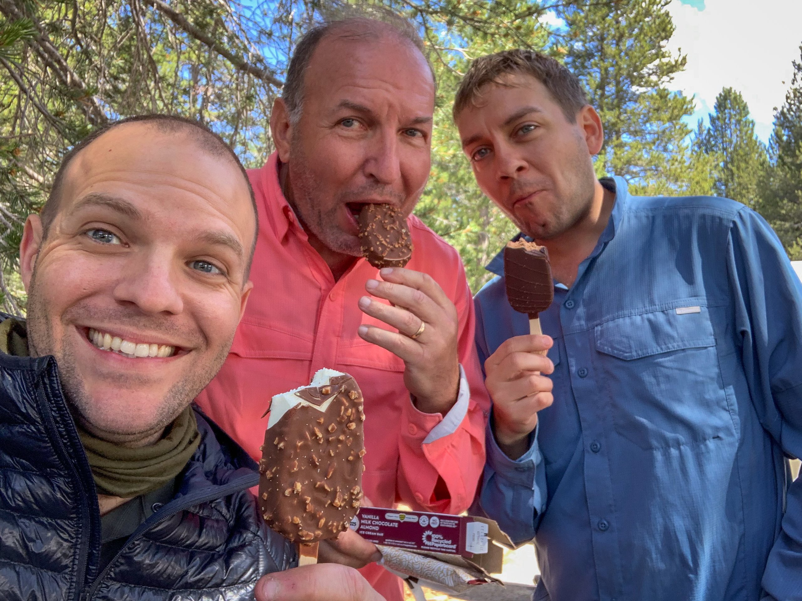
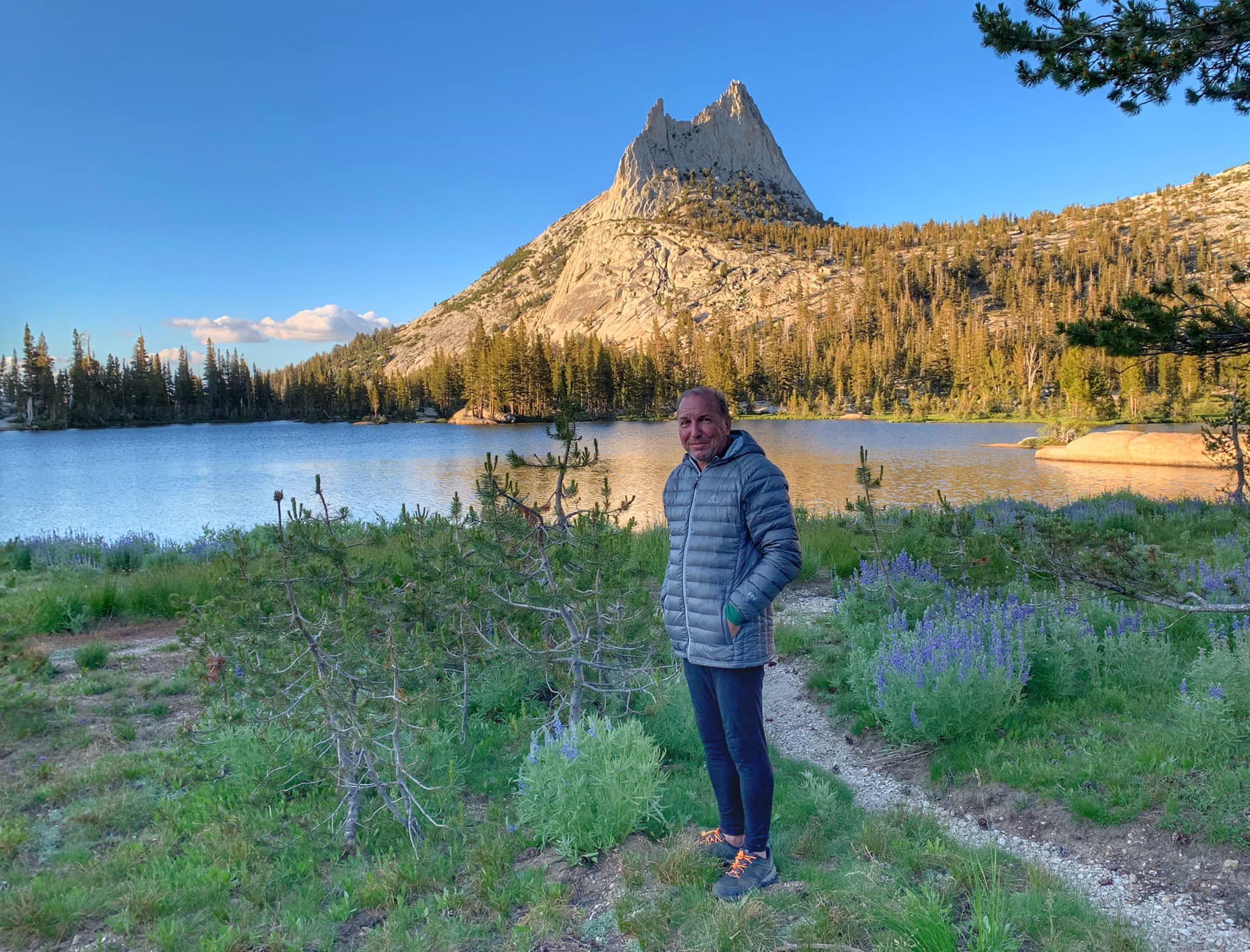
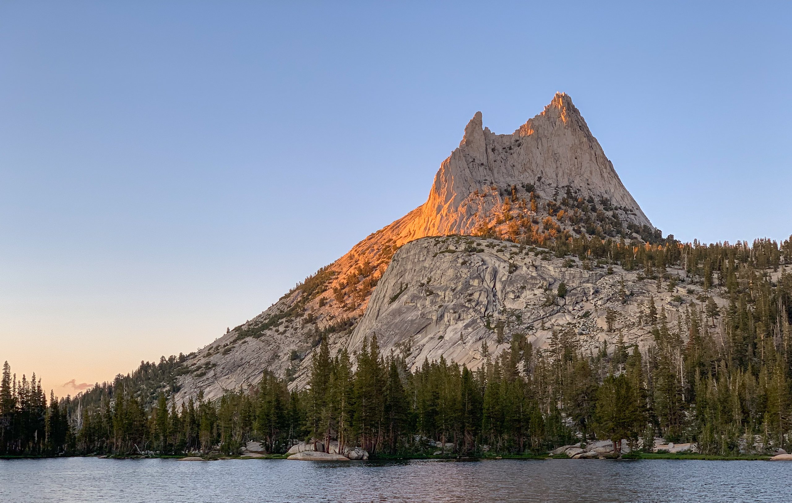
Around noon, we continued up the trail and began the hike up Cathedral Pass, where a second ranger checked our permits. A few miles later, we reached our destination for the night, Upper Cathedral Lake. At sunset, I scrambled up a nearby mountainside to get a view of the lake and Cathedral Peak. Little did I know the sunset view had nothing on the sunrise view.
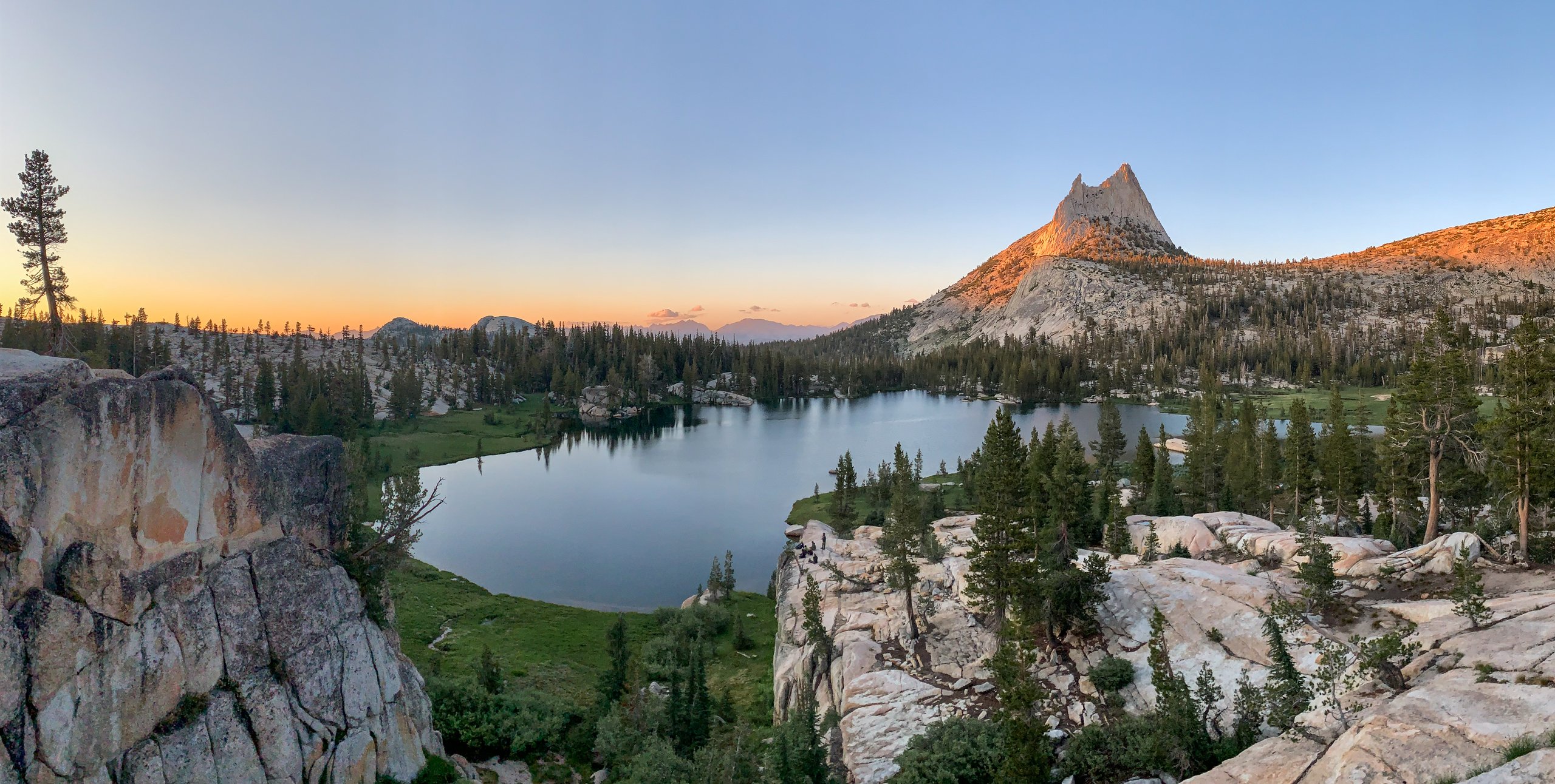

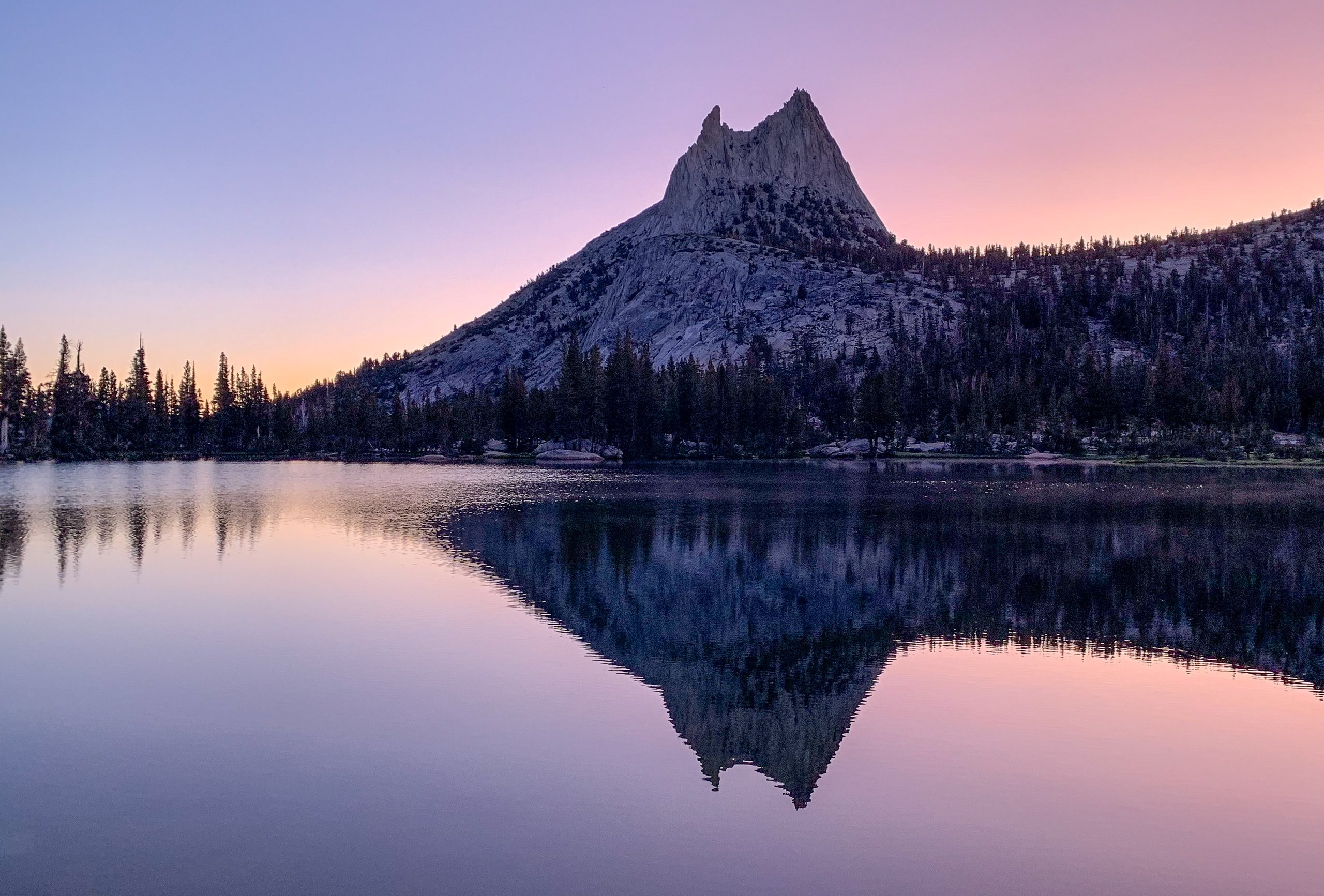
By this point, I was very, very sick with a fully developed sinus infection. If there's a silver lining to not being able to sleep (and there is!), it's being awake to catch the most spectacular sunrise ever.
Day 4: Upper Cathedral Lake to Happy Isles

This day was originally supposed to be split in two, with a stop at the Little Yosemite Valley campground. But my sinus infection was getting worse and I had to get off the trail, so we pushed through and finished our hike today. It was miserable. At one point I was asking other hikers we passed if they had any medication. I worried a little about letting the group down by cutting the trip short, but how miserable I felt won out. Along the way, a Belding's ground squirrel kept watch as we walked by.
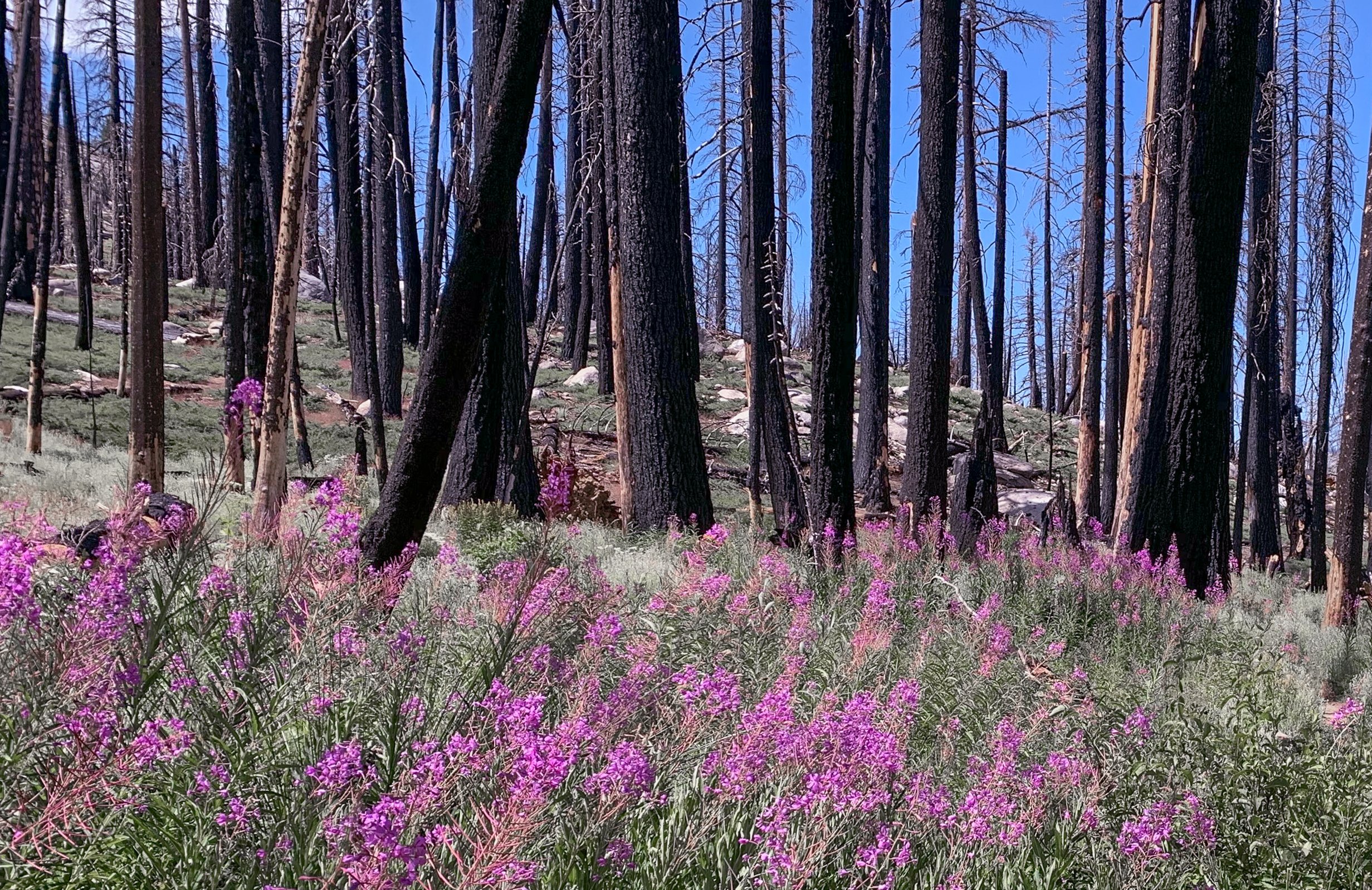
Most of the trail was relatively unremarkable. One section had been burned by a fire several years before and was blanketed in wildflowers reclaiming the forest.

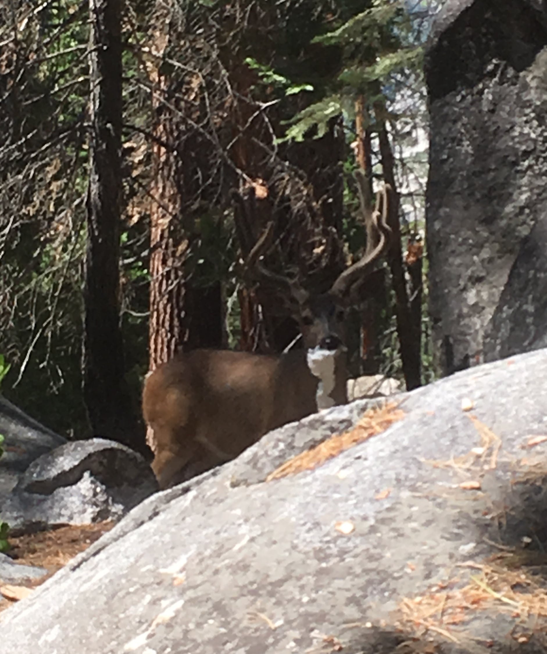
I hate to be a downer, but the one low point of the trip (besides being sick) was between the Half Dome Trail junction and Little Yosemite Valley. My dad spotted a beautiful buck standing behind a boulder. Unfortunately, that buck was eating toilet paper that someone had left behind. Folks, please practice Leave No Trace. If you packed it in, pack it out.
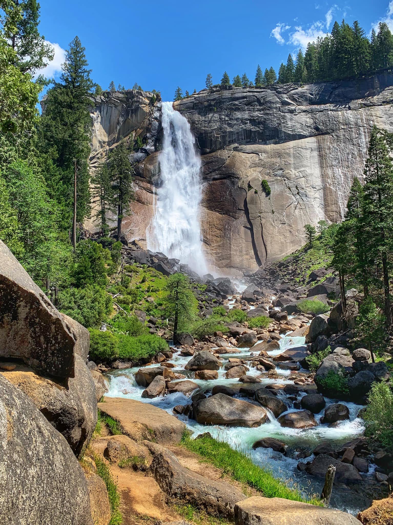
We eventually reached Nevada Fall and Vernal Fall. I took the Mist Trail down, and my brother and dad took the JMT, which is a little longer but less steep. Of course, the waterfalls are a destination in their own right and attract hordes of visitors.
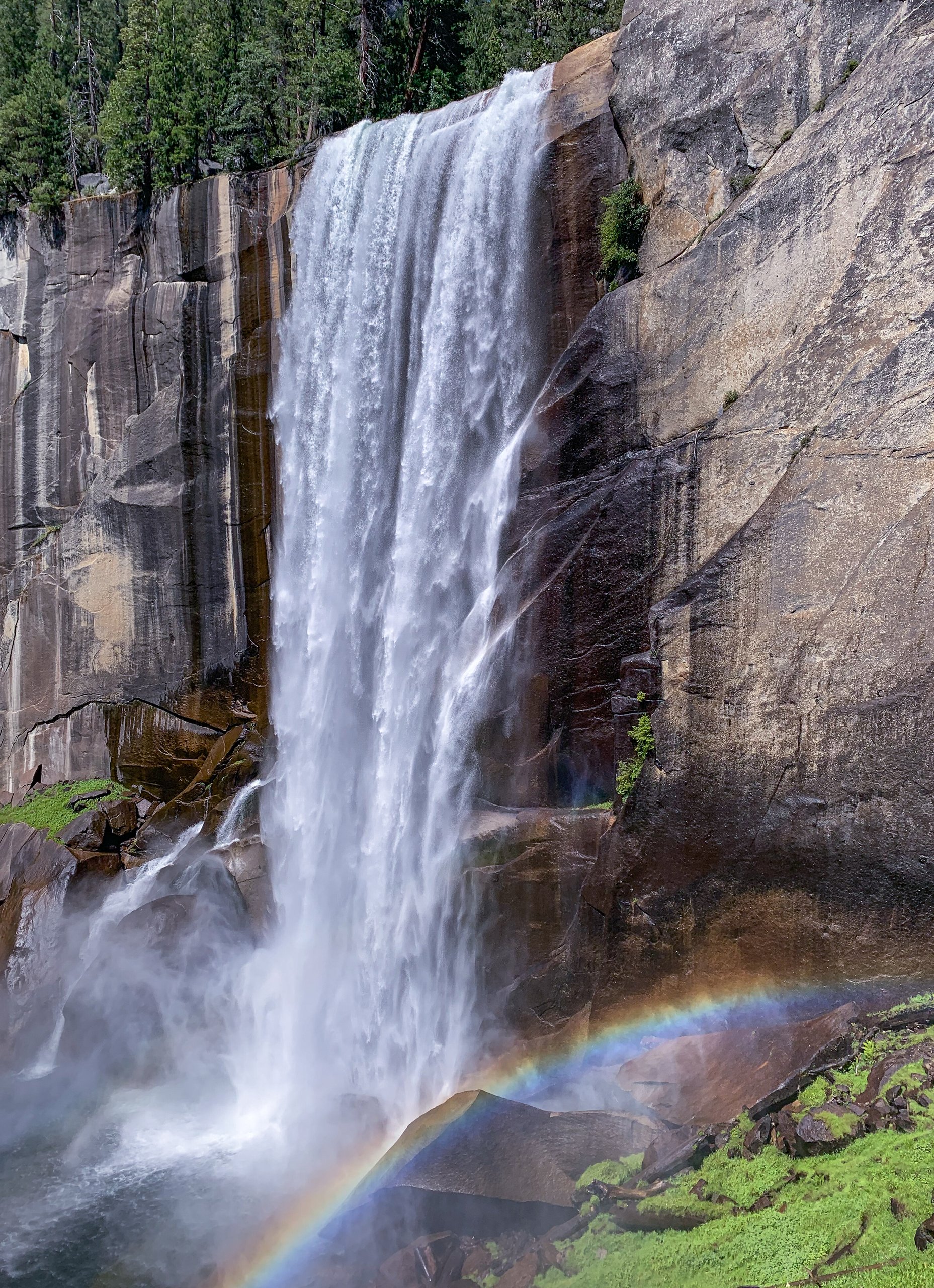

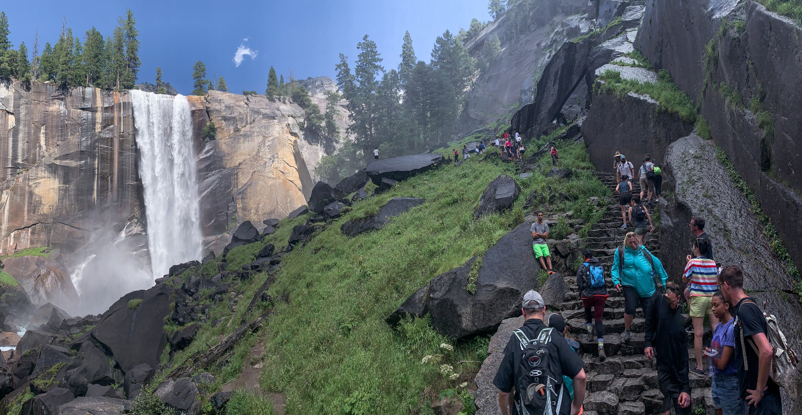
We reached our car at the parking lot, took much-needed showers, and gorged ourselves on pizza.
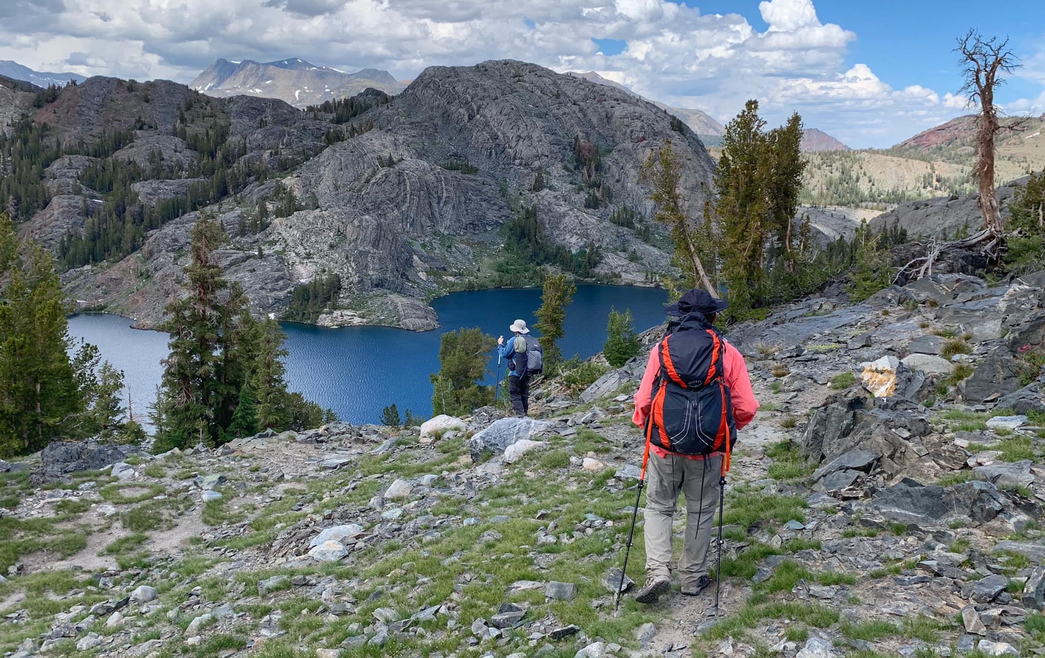
More photos from Part 1

Part 2 (2020): Duck Pass to Bishop Pass
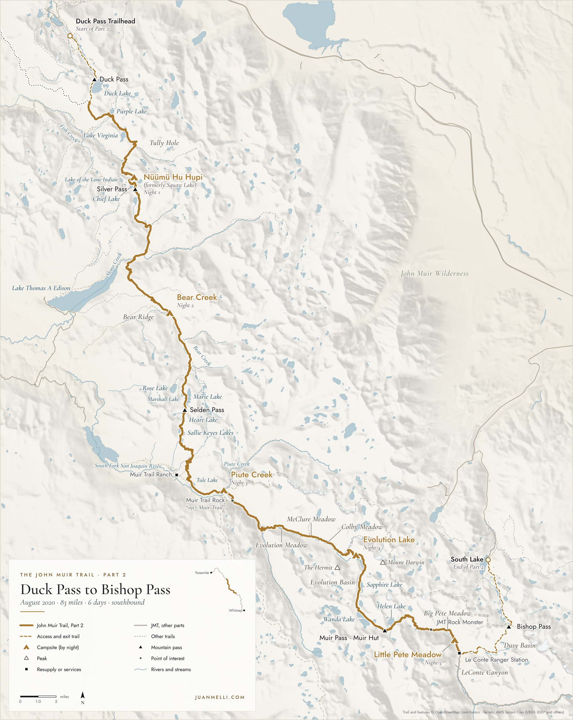
Over six days in early August of 2020, my dad and I hiked a total of 83 miles. Starting from the Duck Pass Trailhead in Mammoth Lakes, we hiked 5.5 miles to the John Muir Trail, followed the JMT south for 66.4 miles (from mile 70.5 to 136.9), and hiked out via the 10.9-mile Bishop Pass Trail to South Lake, outside Bishop.
Getting there
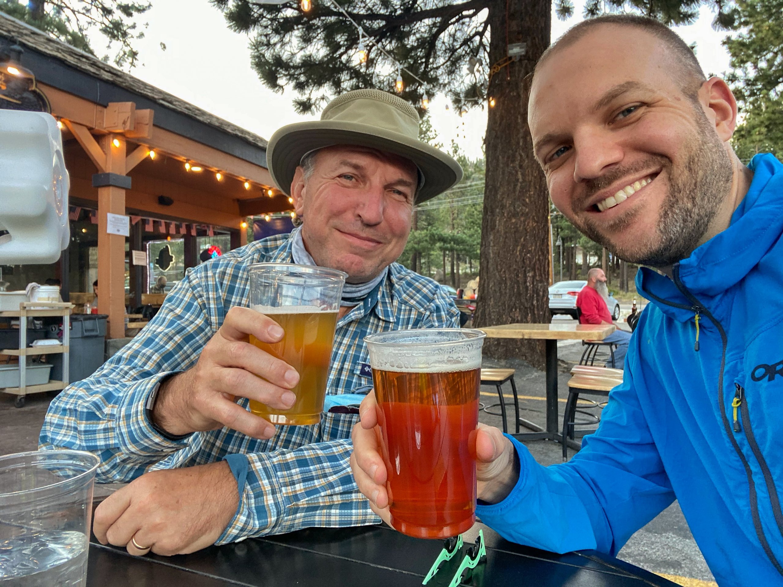
My dad and I both flew to Las Vegas, where we rented a car, picked up a fuel canister at REI (you can't take them on the plane), and drove to the South Lake trailhead in Bishop, where we left the rental car. Our shuttle driver met us at the parking lot and drove us to Mammoth Lakes, where we got dinner and stayed in a hotel for the night.
From my journal · The night before
Masks were required. "Six feet apart or six feet under," said the United Airlines guy. Some drunk guys got in a fight.
Day 1: Duck Pass Trailhead to Nüümü Hu Hupi
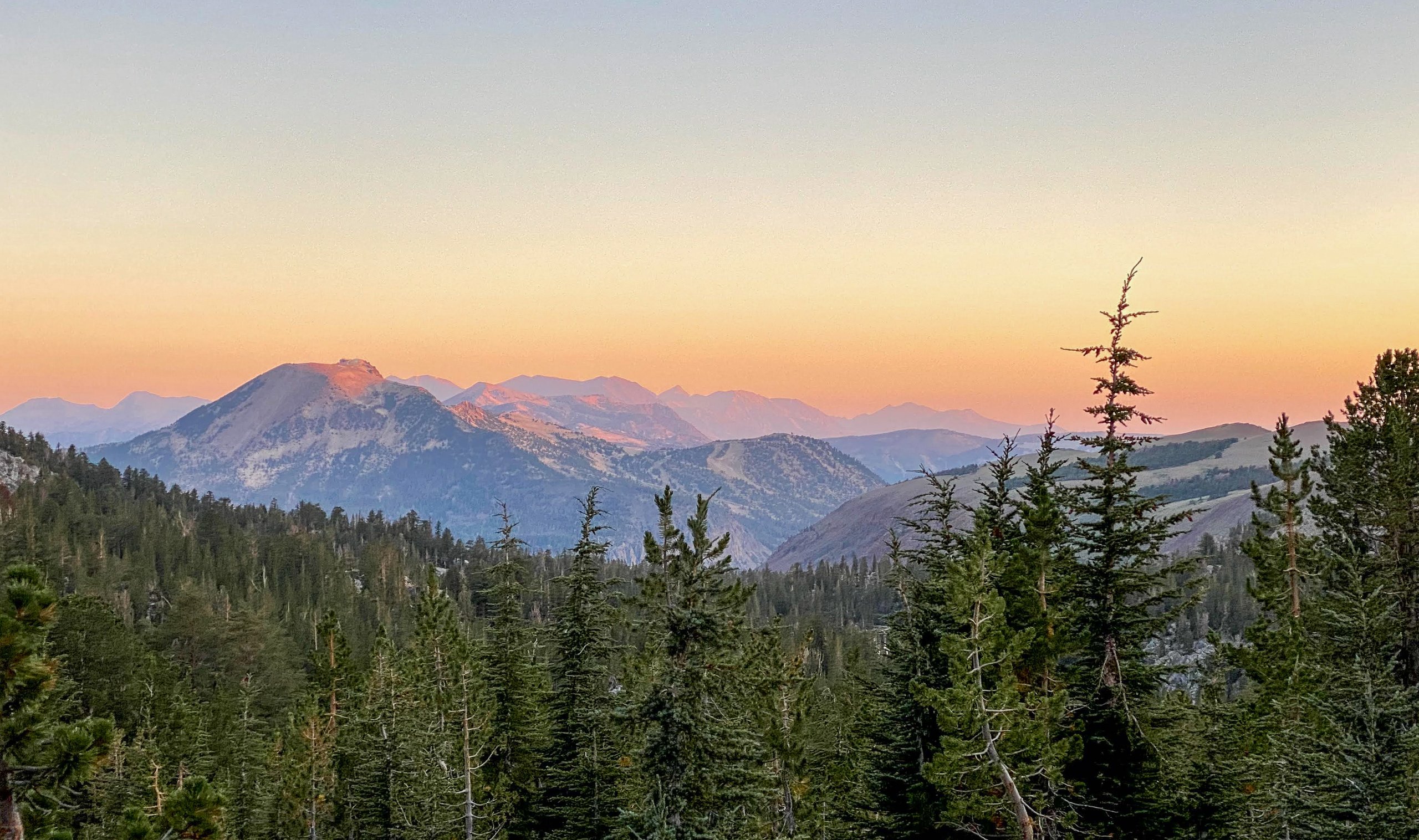
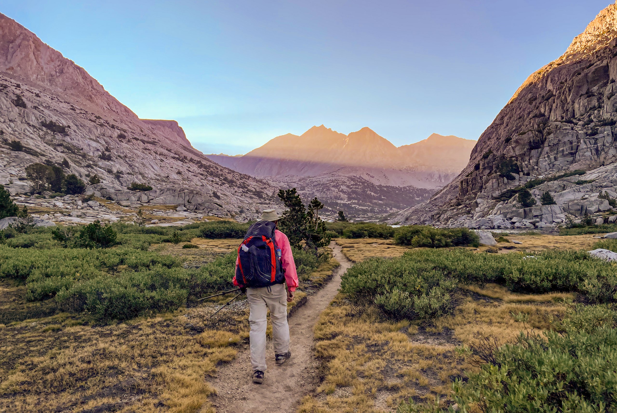
We woke up at 3:45 a.m. Our shuttle driver picked us up at the hotel around 4:30 a.m. and drove us to the Duck Pass Trailhead. We set off around 4:50 a.m. in the dark with our headlamps on and made good time. When we looked back as the sun was coming up, we got a gorgeous sunrise view of the mountains.
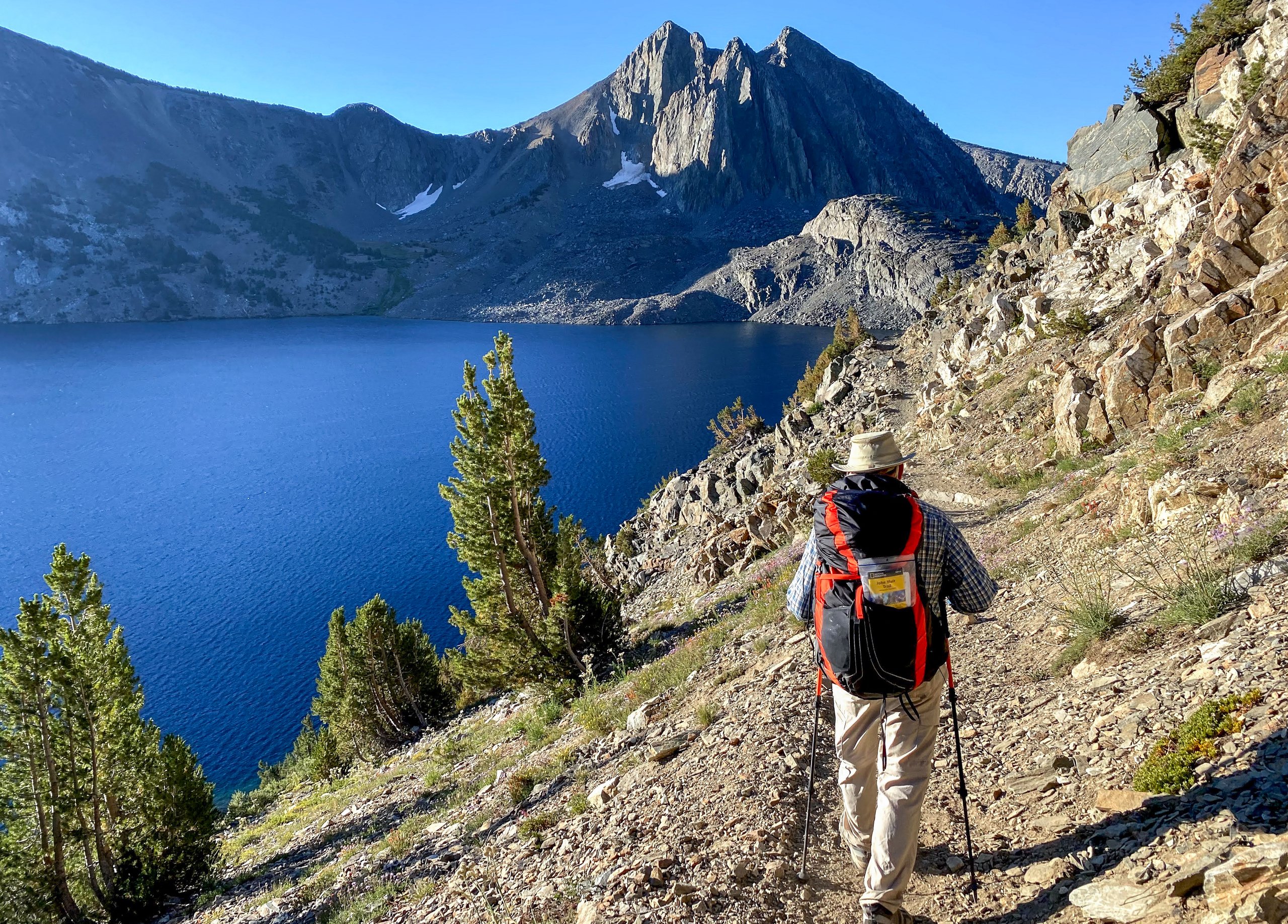
Walking past Duck Lake, with the trail perched high above it, was one of the highlights of the day.

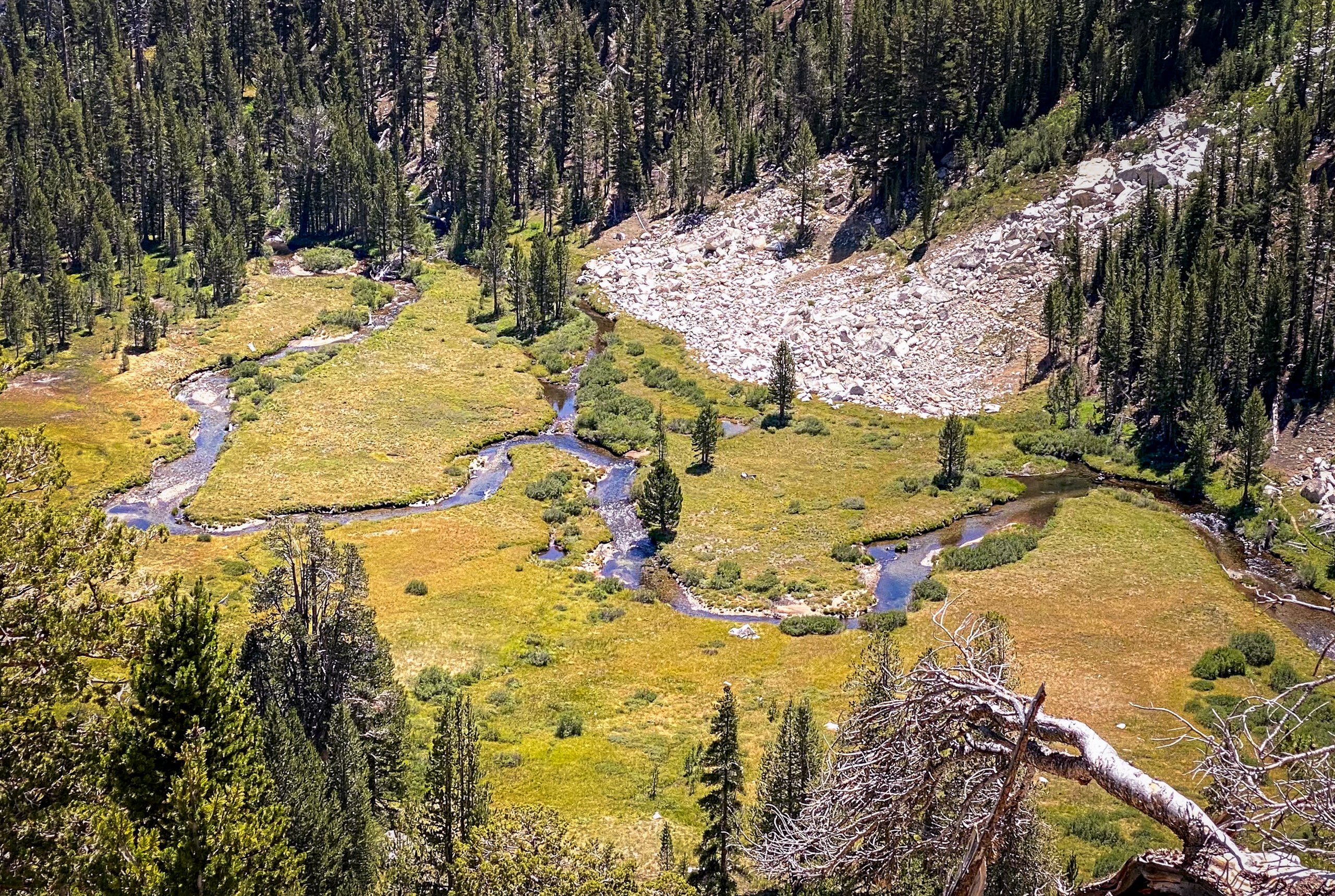
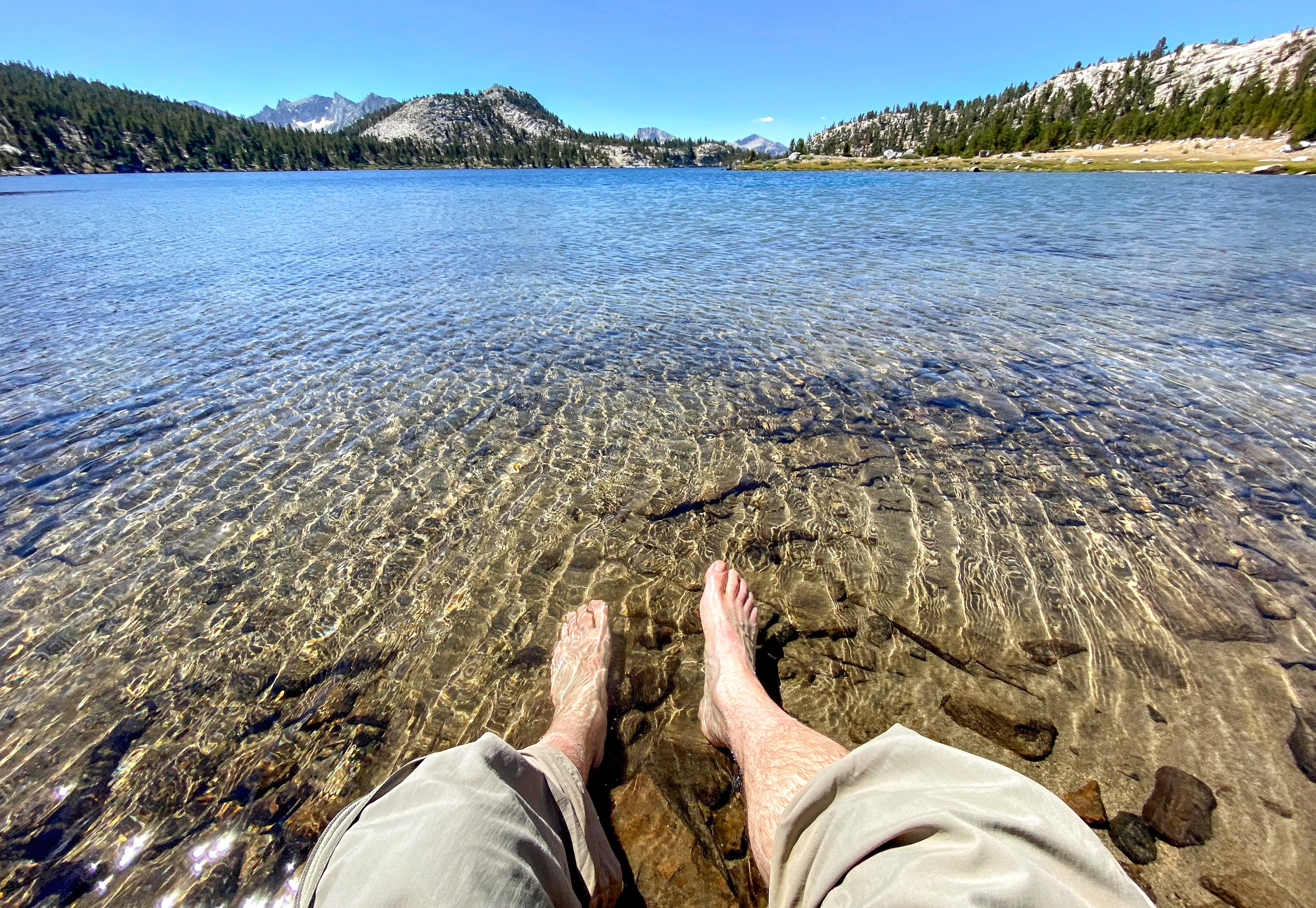
Our original plan was to stop at Lake Virginia, for a total of 9 miles. We quickly reached Purple Lake and continued on, and arrived at Lake Virginia around 11 a.m., where we stopped for lunch. I also cooled off my feet in the crystal-clear water.
It was still early in the day, so we decided to keep going. We descended on switchbacks into Tully Hole, followed Fish Creek, and eventually crossed it on a footbridge.

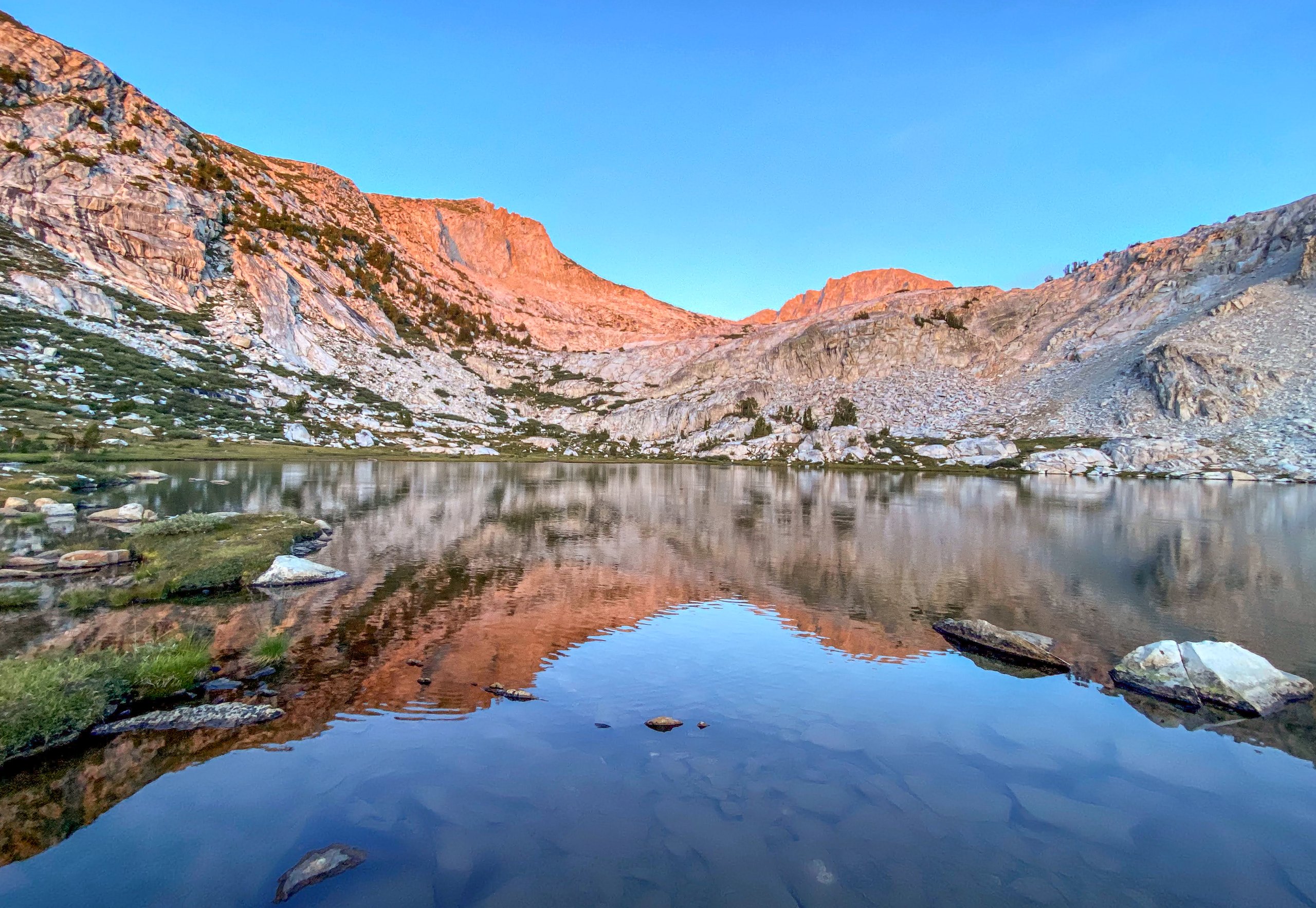
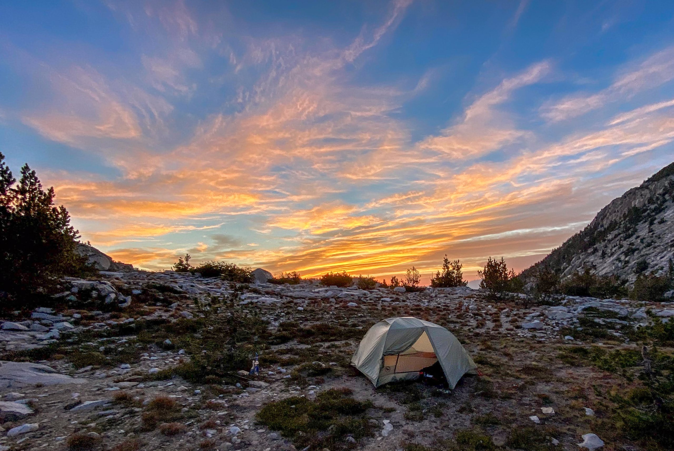
Eventually we reached Nüümü Hu Hupi, where we stopped and set up camp. (It was still called Squaw Lake when we hiked through; the U.S. Board on Geographic Names renamed it in 2022.) We found a spot just off the trail with a nice view of the lake and mountains.
From my journal · Day 1
It's a small lake but flanked by dramatic, tall mountains.


Day 2: Nüümü Hu Hupi to Bear Creek
We woke up around 4:40 a.m., made coffee, packed up, and hit the trail by around 6:40 a.m. We first passed Chief Lake, which was beautiful, then quickly crossed over Silver Pass.
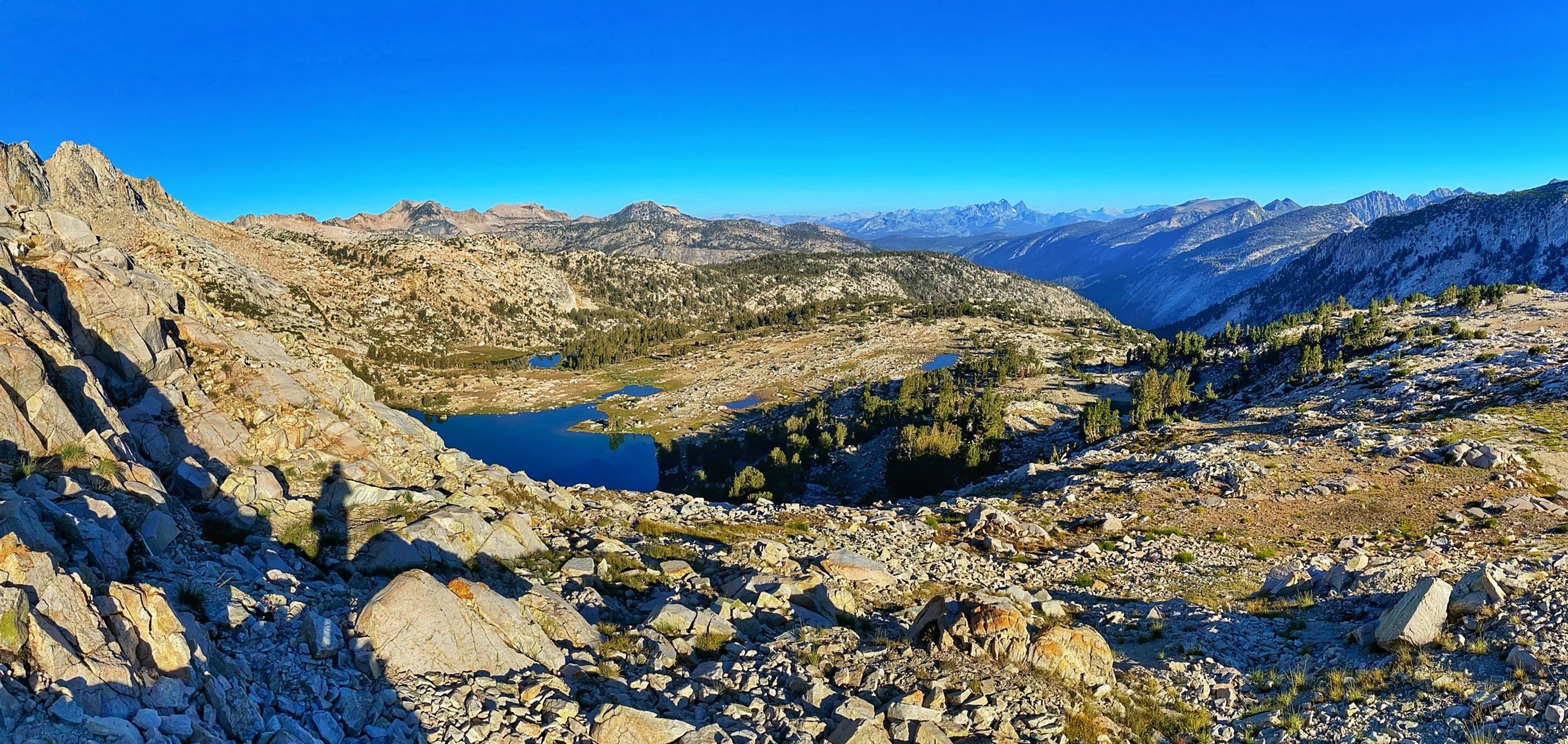
From Silver Pass, it was a very long descent down to Mono Creek. We stopped at the creek for lunch, and I took off my shoes and dipped my feet in the ice-cold water.
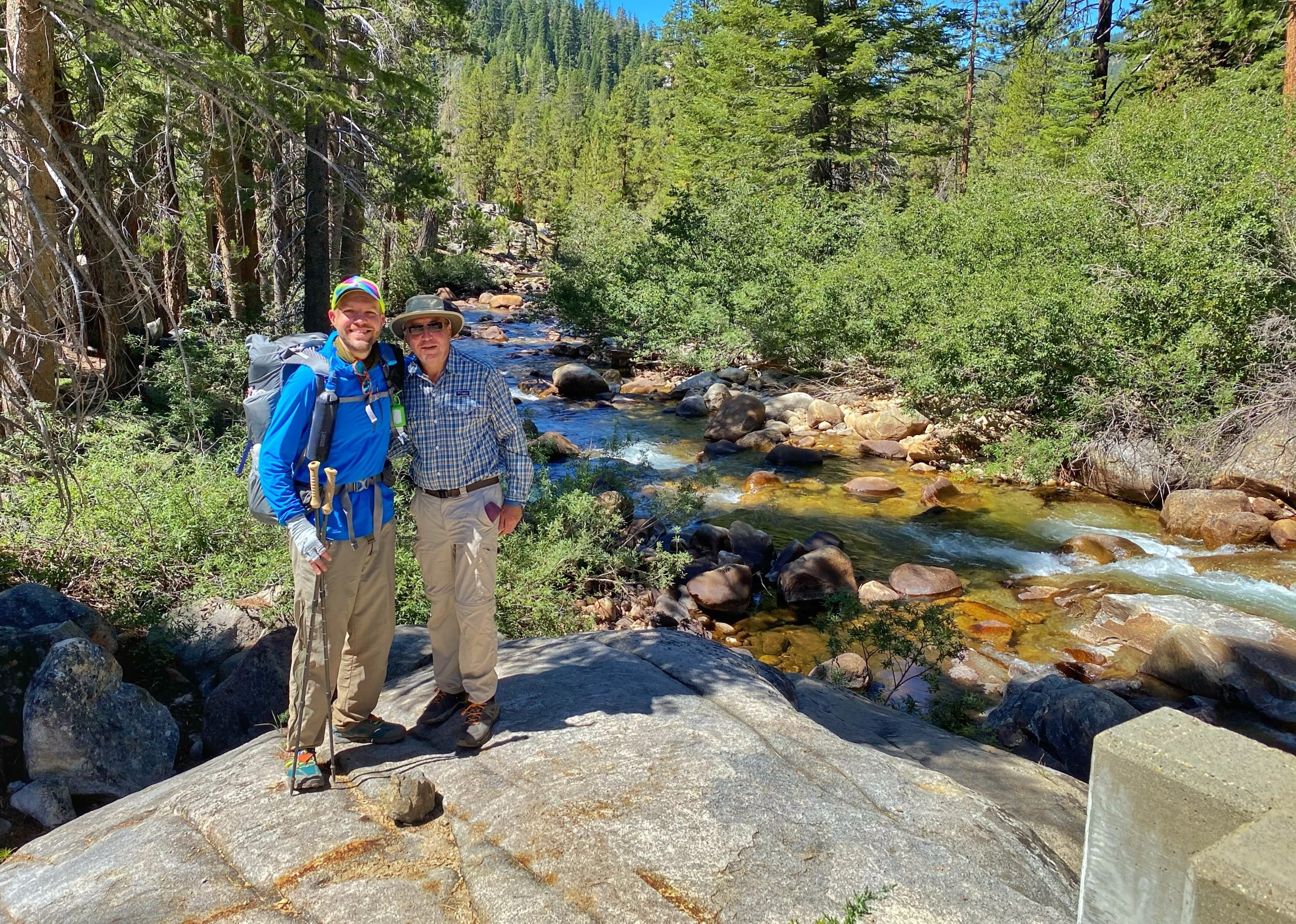
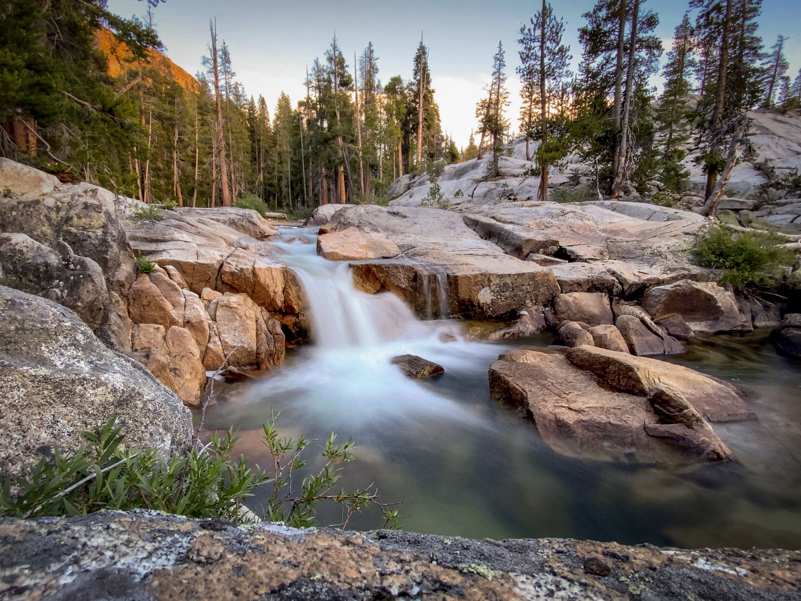
Next began the long grind up Bear Ridge. It's well graded and mostly in the shade, but still tough. The switchbacks meant there were few steps, so the entire trail was on an incline, and I think that made my Achilles tendon hurt. We made it over the ridge, continued a few more miles, and finally stopped at a nice tent site next to Bear Creek. My dad and I both went for a swim in the creek.

From my journal · Day 2
Everything is so dusty and my nose is dry and bleeding. Could be worse. Tomorrow we might go all the way to MTR. We are ahead of schedule.
Day 3: Bear Creek to Piute Creek
We woke up before 5 a.m. It was warmer this morning, almost 55 degrees. We hit the trail shortly after 6 a.m. for the climb up Selden Pass. The best part of the way up was passing Marie Lake. The lake was still, perfectly reflecting the surrounding mountains. We also spotted some Belding's ground squirrels keeping an eye out for predators on the shore.
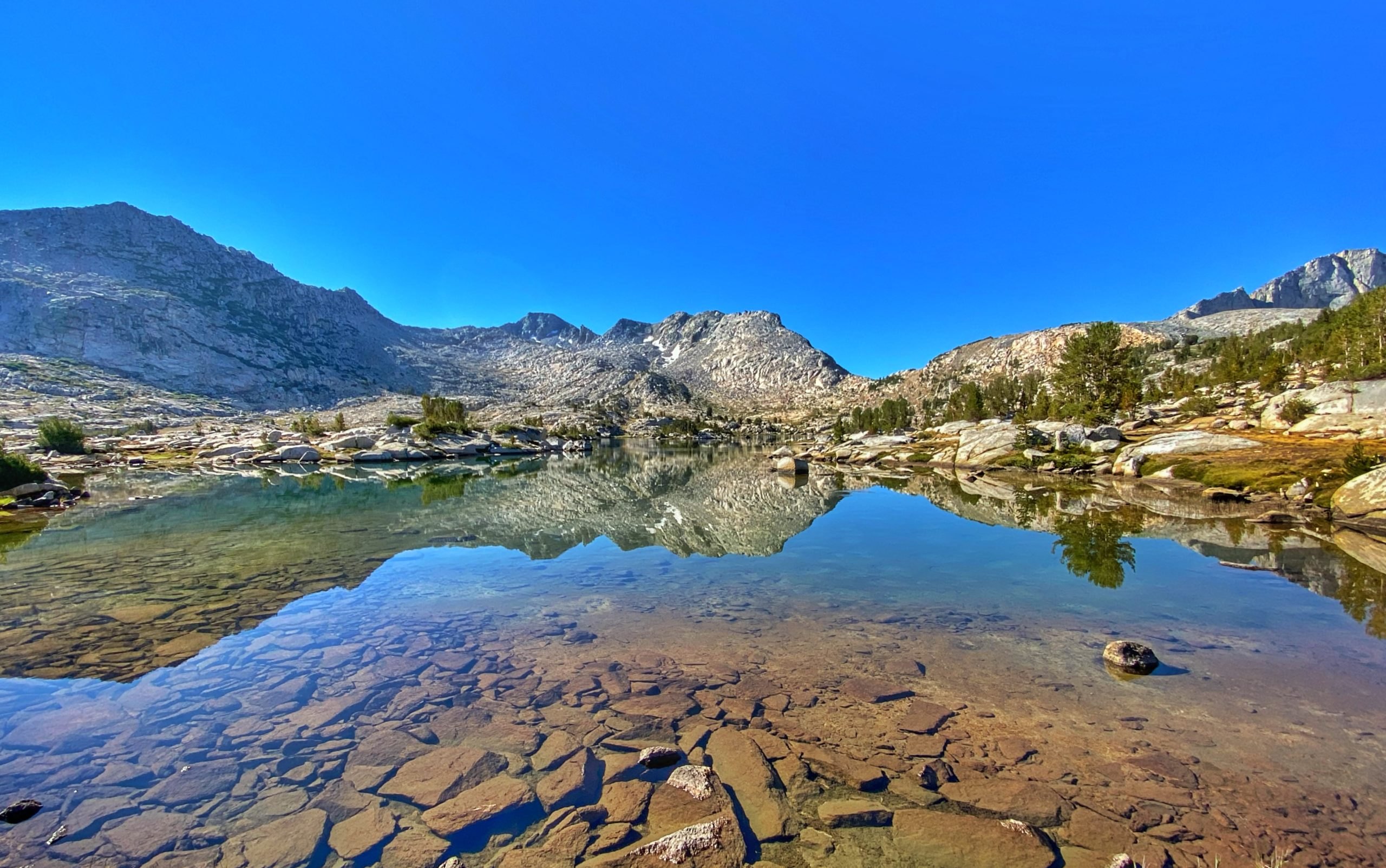
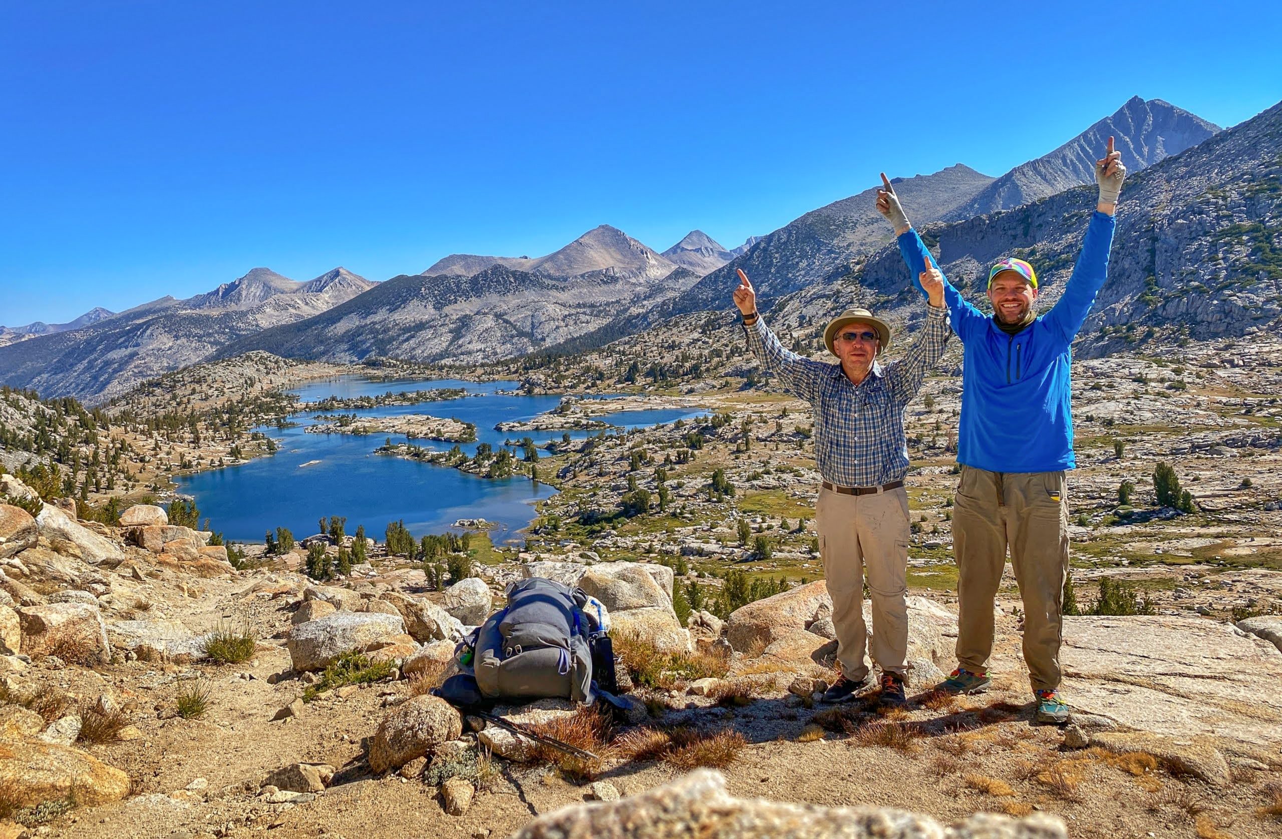
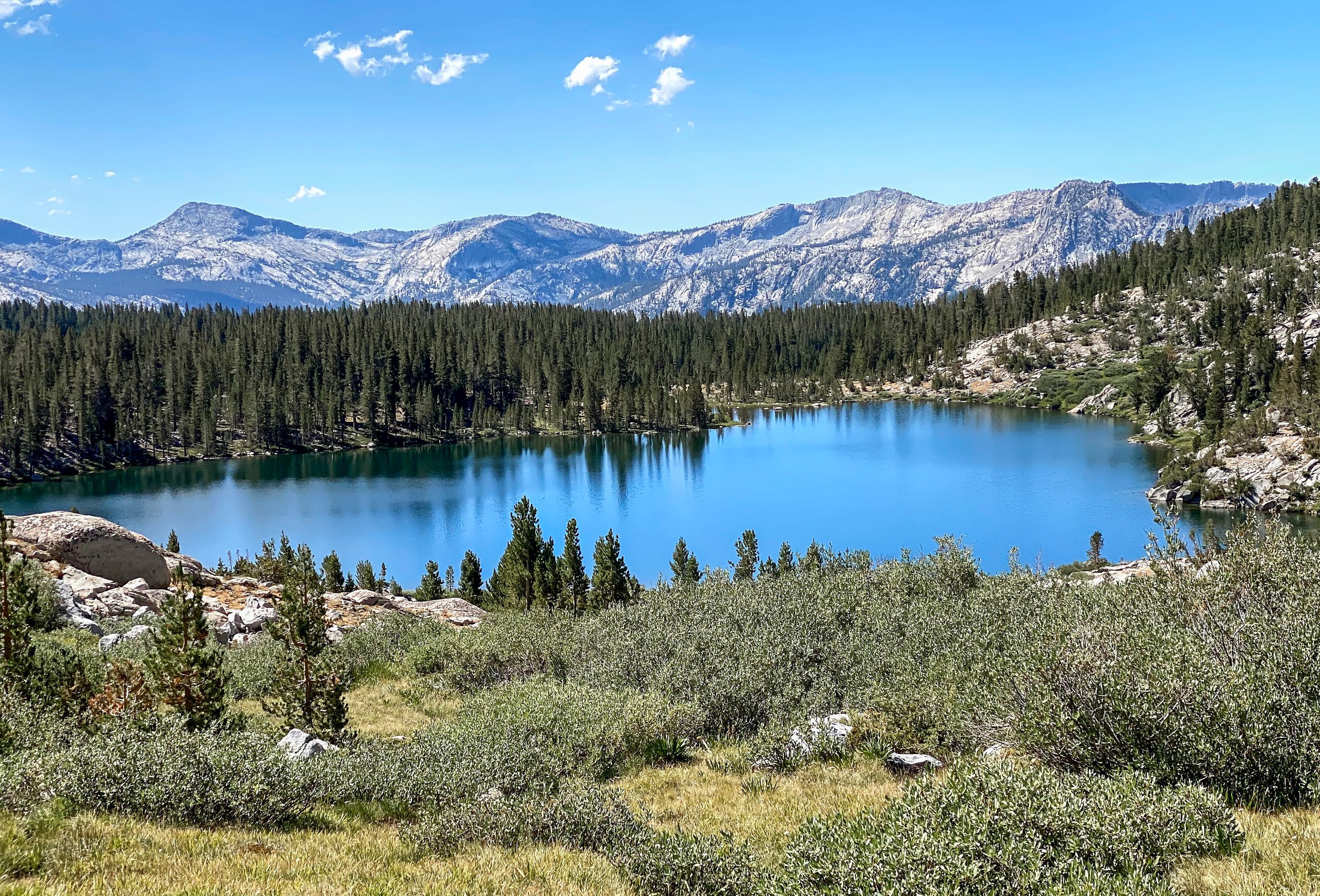
From the top of Selden Pass, the view looking back on Marie Lake was beautiful. We stopped at the top for an early lunch, then started down the other side. We passed Heart Lake and then Sallie Keyes Lake, which looks like a Bob Ross painting.
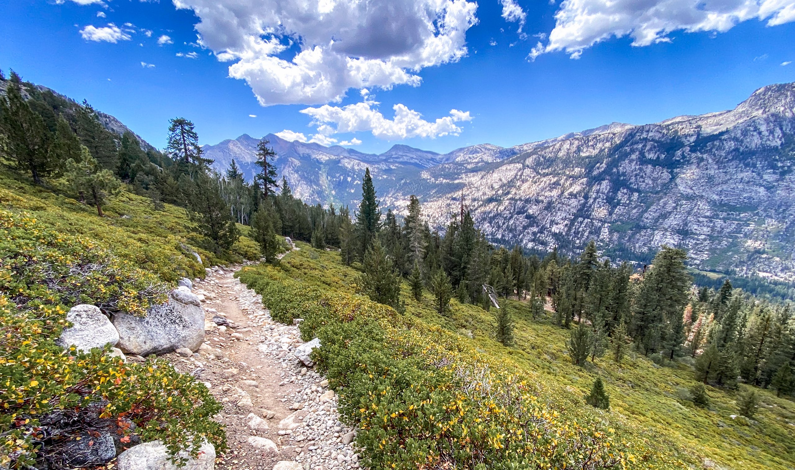
Next was a series of switchbacks with gorgeous views of the valley as we descended towards Muir Trail Ranch, where we stopped to pick up our resupply bucket.

After refilling, my pack weighed 28 pounds. Ugh! We considered staying at MTR for the night but decided to move on. My dad was probably the one who wanted to keep going. I suspect the thought of a real bed and real food had a lot to do with it. We continued about 3 miles to Piute Creek and the border between Sierra National Forest and Kings Canyon National Park, and set up camp at the first tent site across the bridge. It was great to sleep with the white noise of the rushing river.
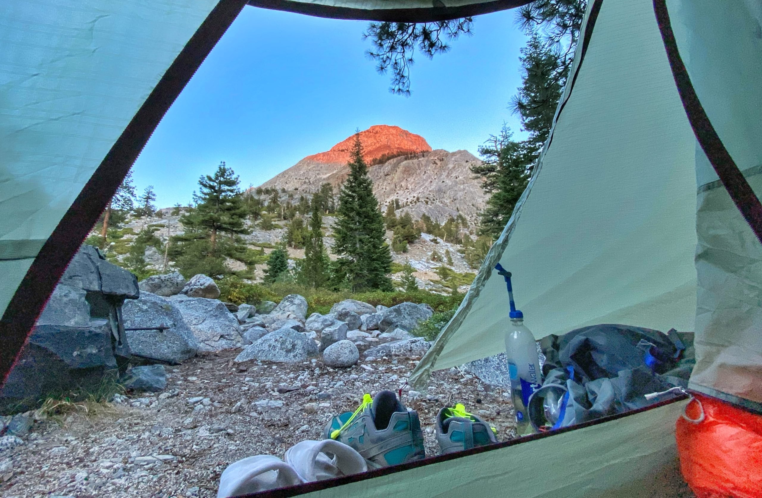
From my journal · Day 3
We were supposed to do 8.4 miles but we did 15 miles. We are a full day ahead of schedule. My feet and hips hurt! I'm sleeping better than in past trips.
Day 4: Piute Creek to Evolution Lake
Another early morning. We woke up before 5 a.m. and started hiking by 6:30 a.m., following the South Fork of the San Joaquin River. Beautiful! Early in the day, we found the Muir Trail Rock. It's faded, but the rock is inscribed with "1917 Muir Trail."
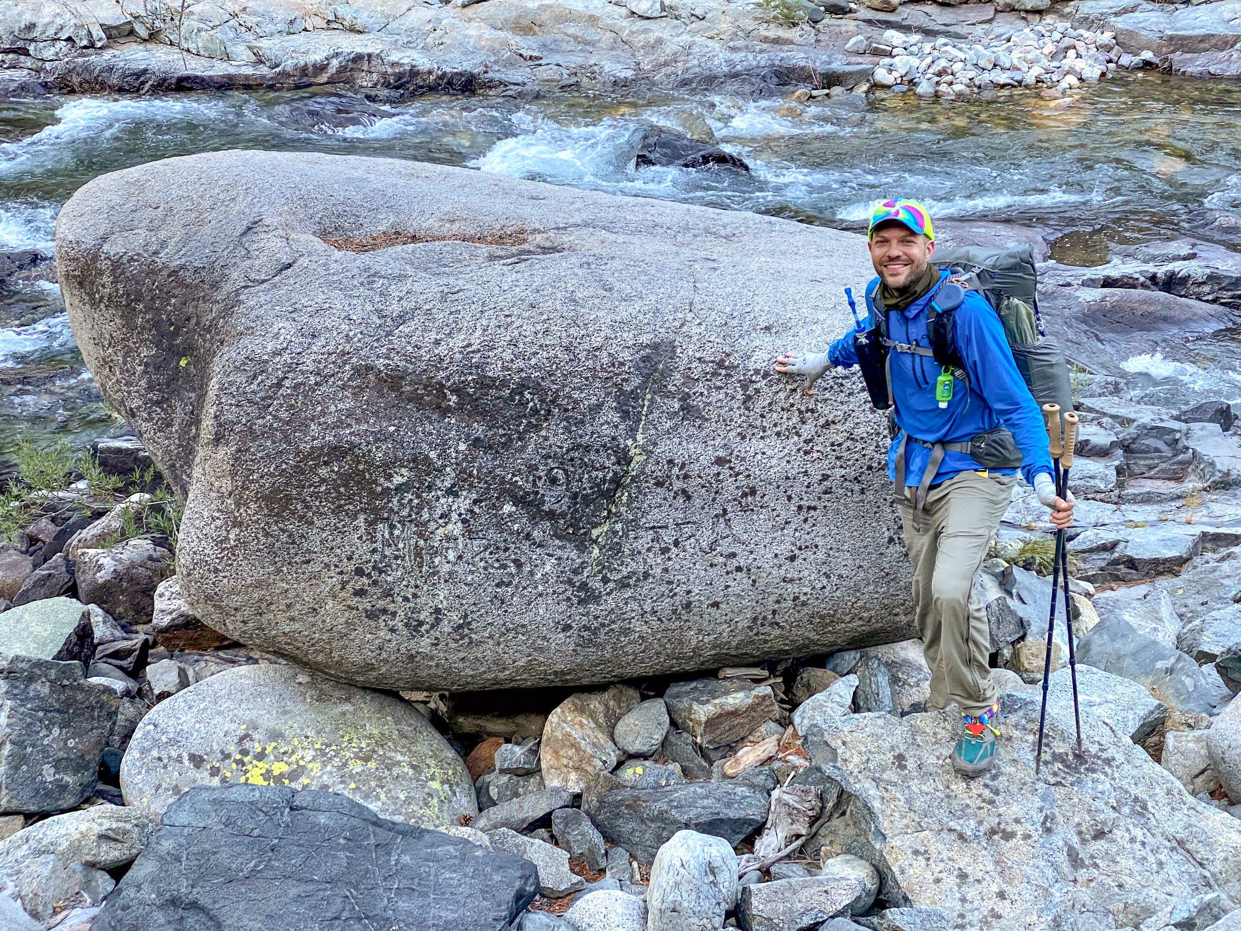
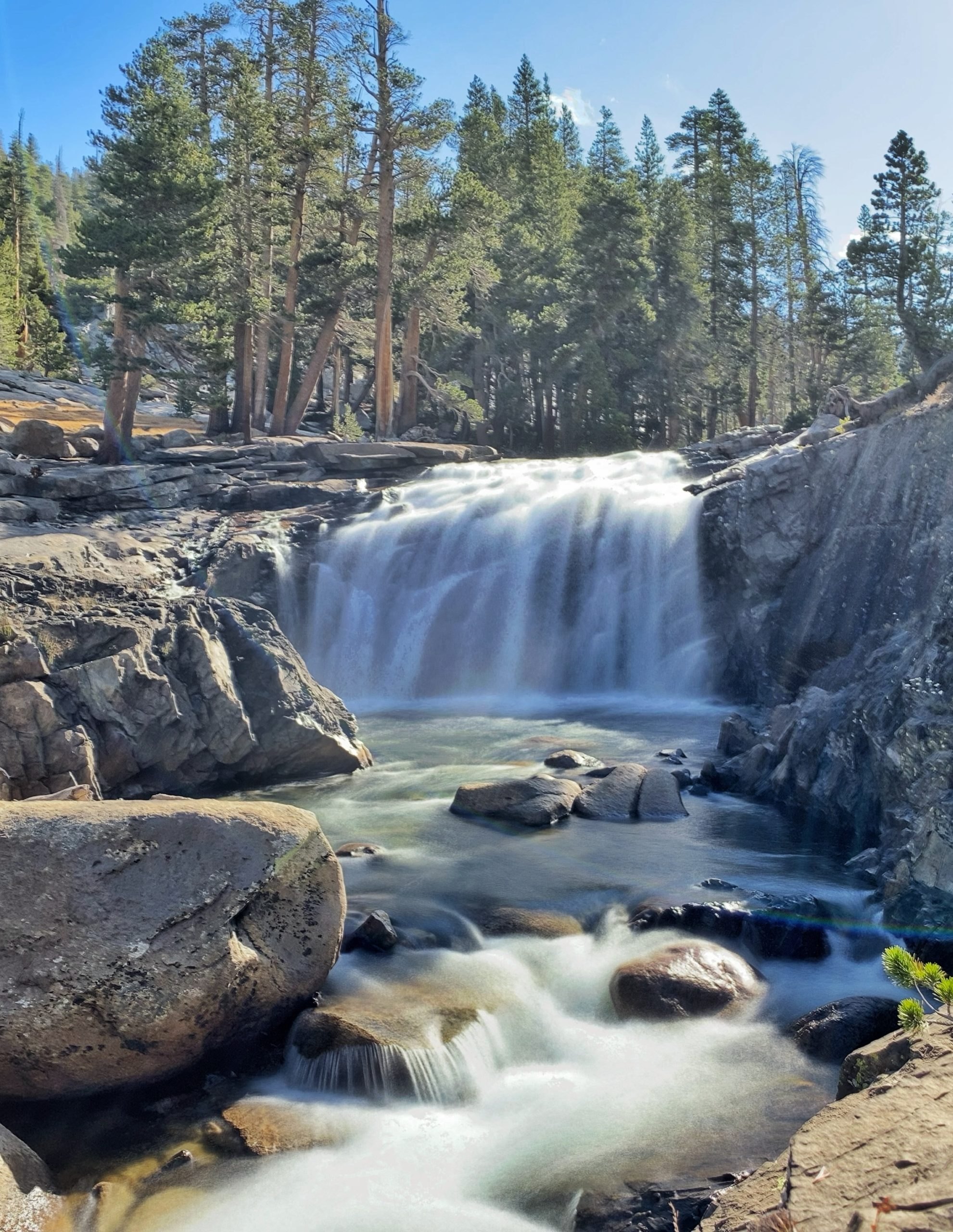
We climbed some switchbacks and then passed two gorgeous waterfalls along Evolution Creek.
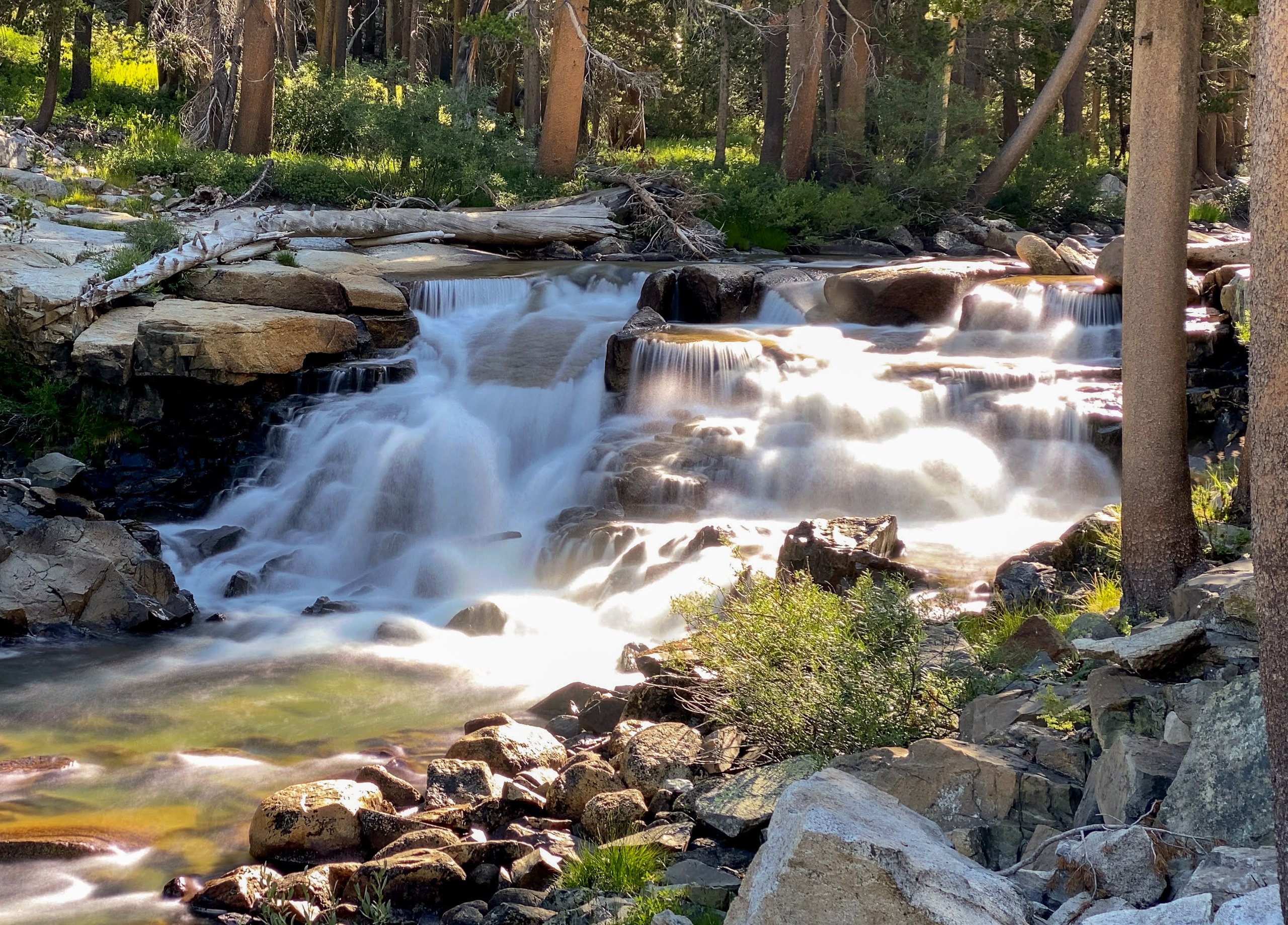

We waded across Evolution Creek. It was an easy, ankle-to-shin-deep wade that was really refreshing on the feet! We made it to McClure Meadow by 10 a.m. and stopped on a large outcrop for an early lunch. As we made our way to Evolution Basin, the trail continued to climb, with views of The Hermit and other striking mountains.
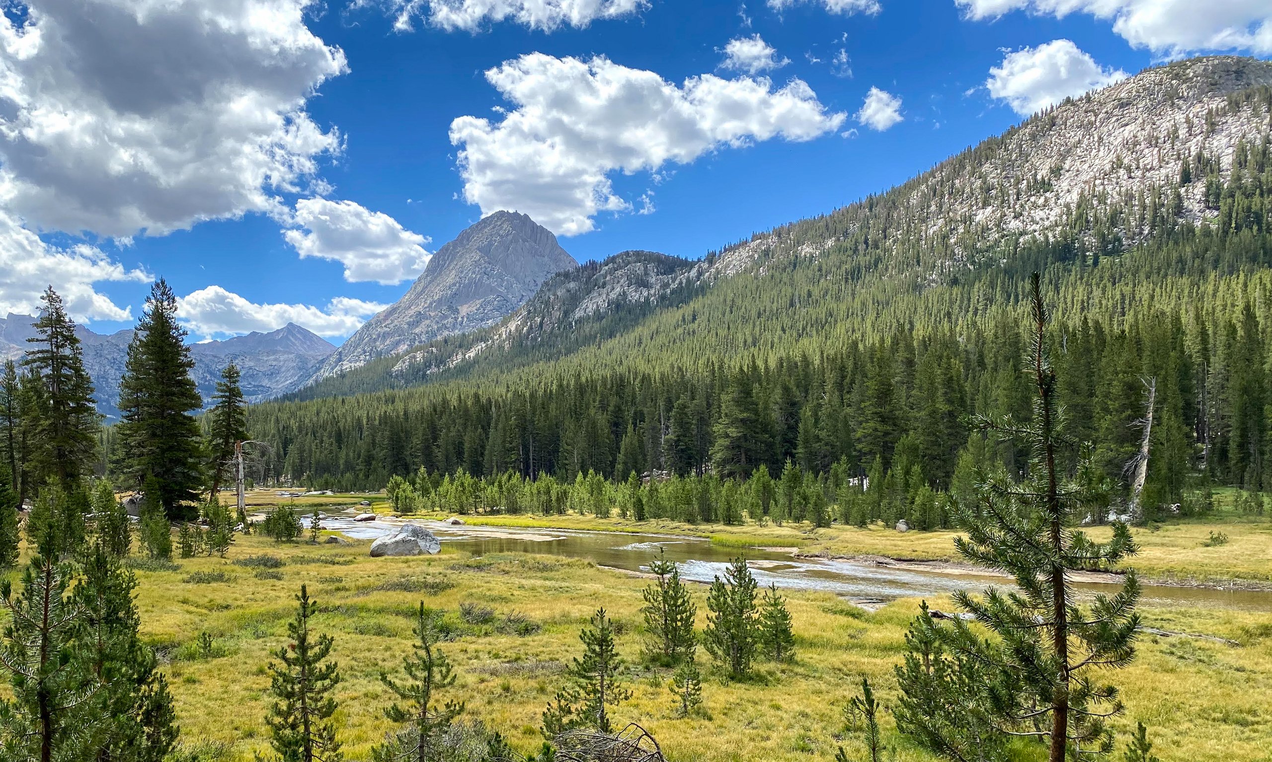

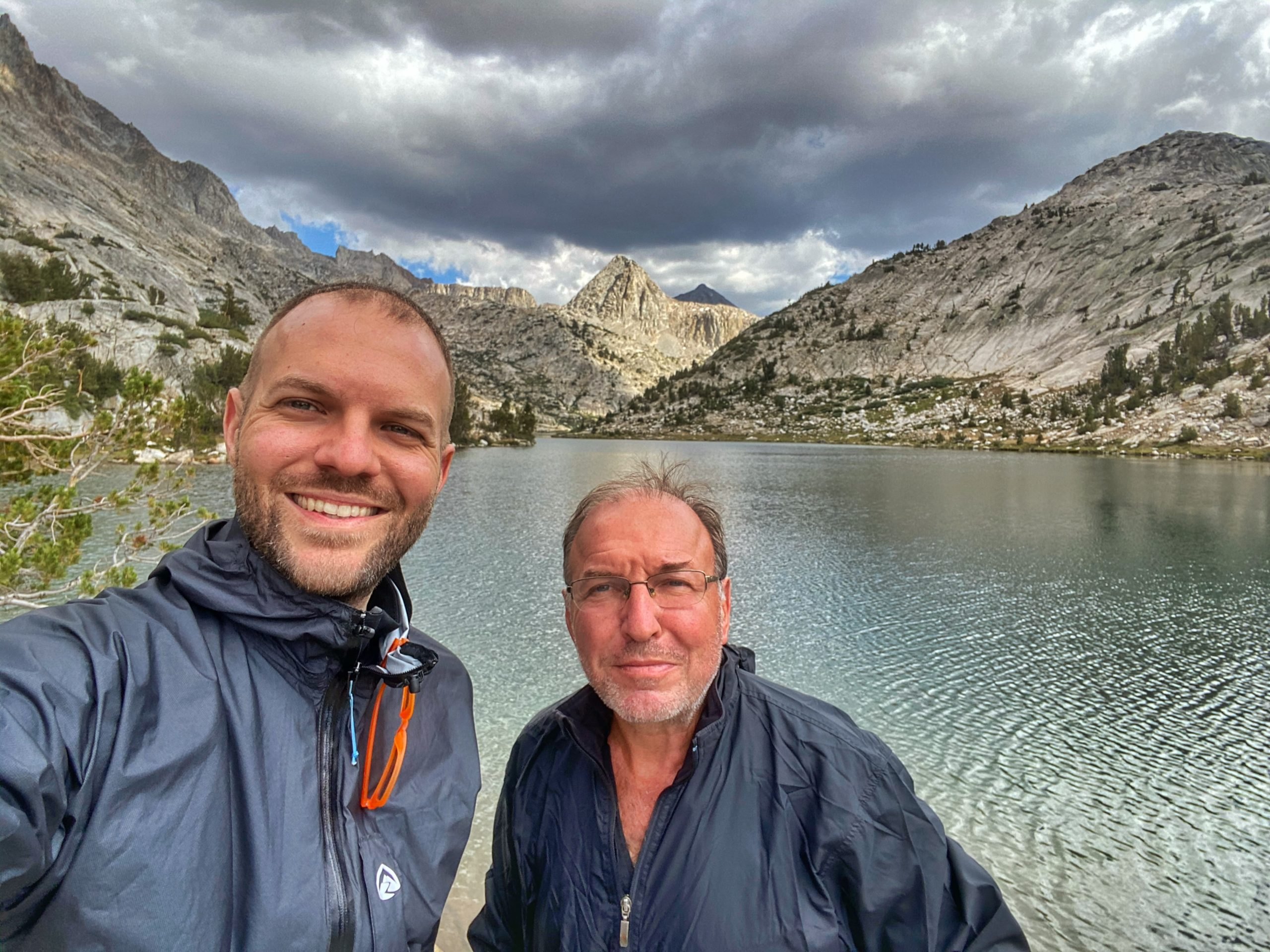
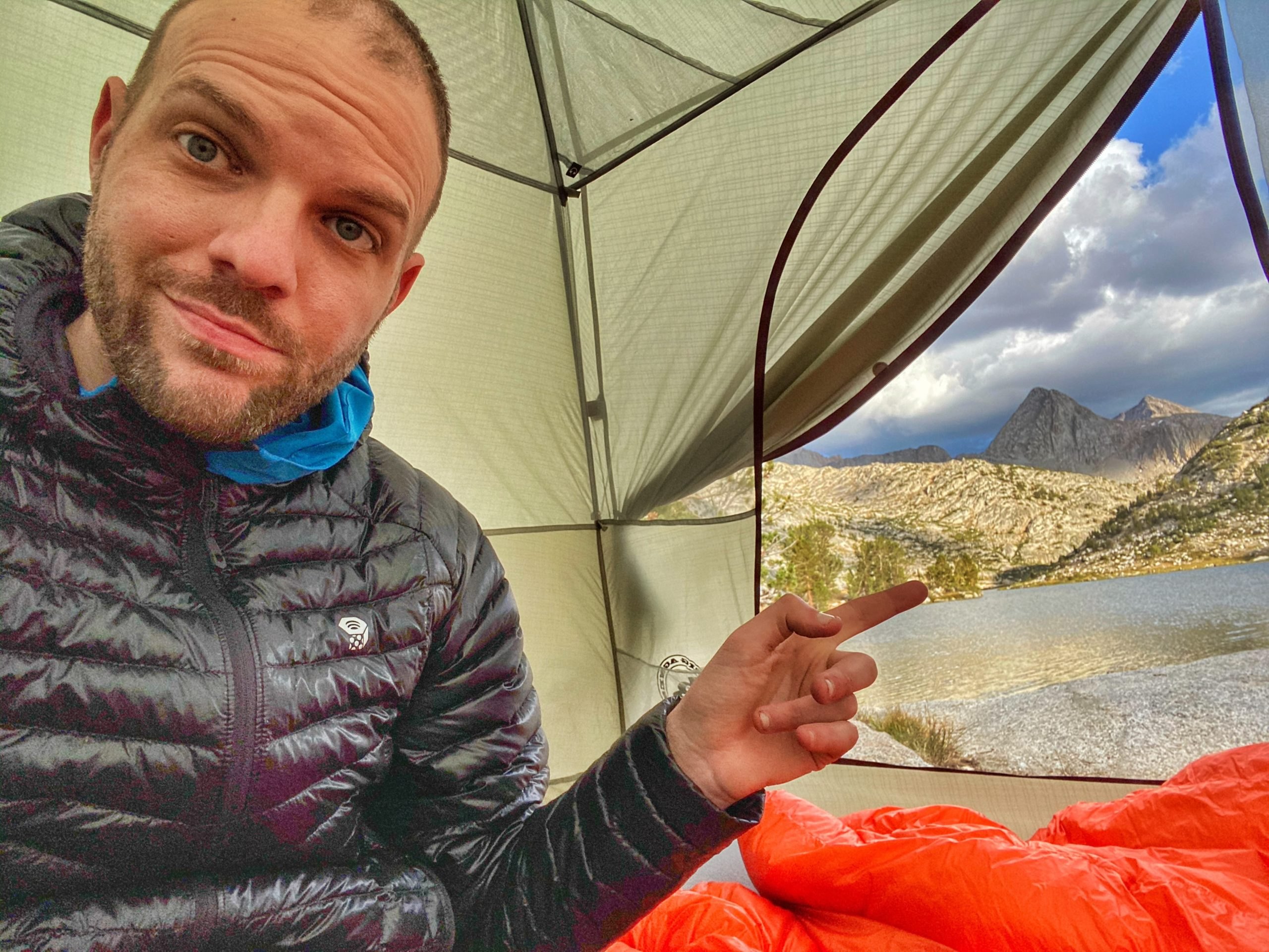
We finally reached Evolution Lake, a dramatic spot flanked by tall, steep mountains: Mount Mendel, Mount Darwin, and Mount Spencer. We found a great tent site on a small peninsula jutting out into the lake. It was partly shielded from the wind by trees and had our own "private" beach. We both took a dip in the lake, did laundry, and hung our clothes out to dry.
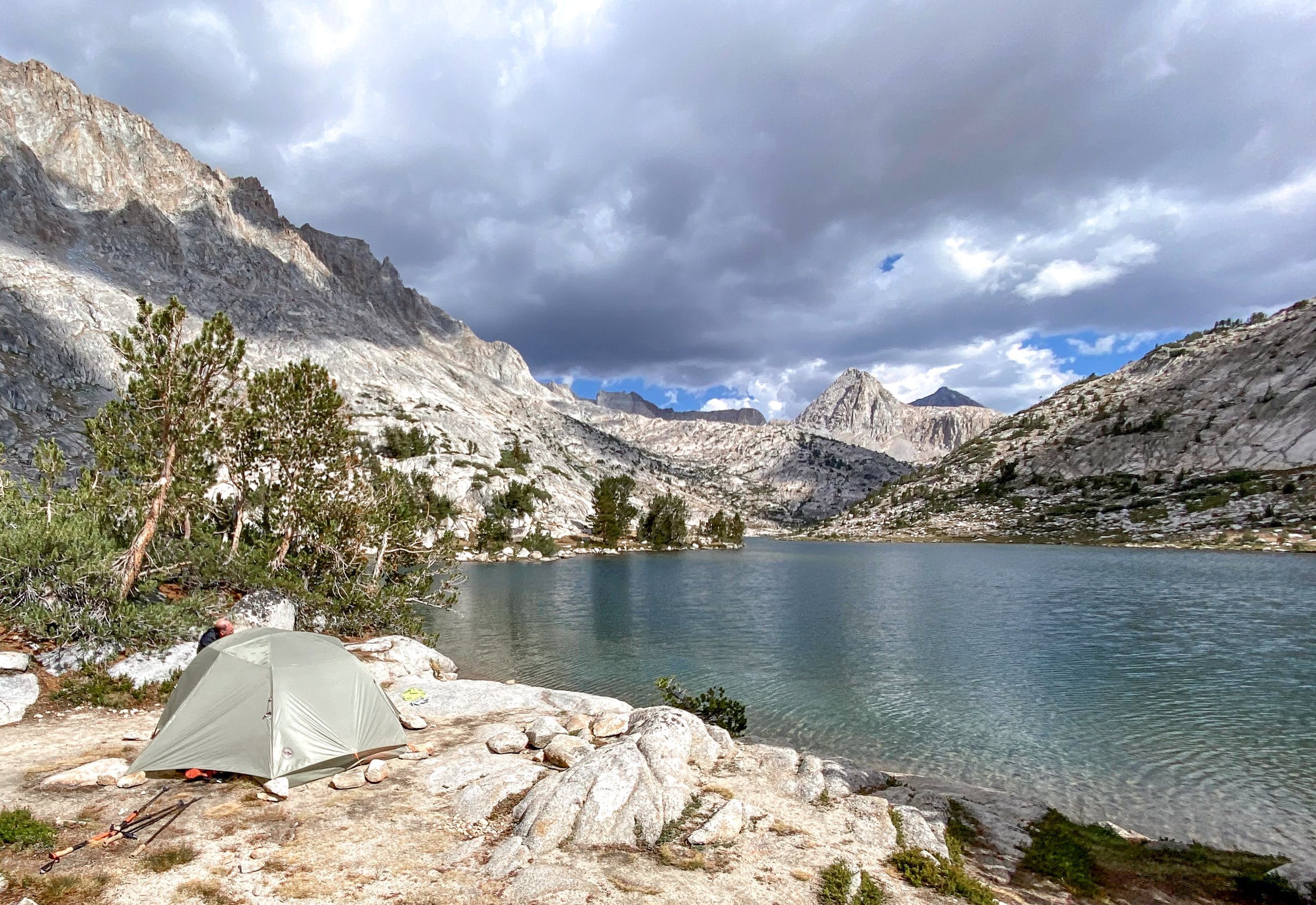

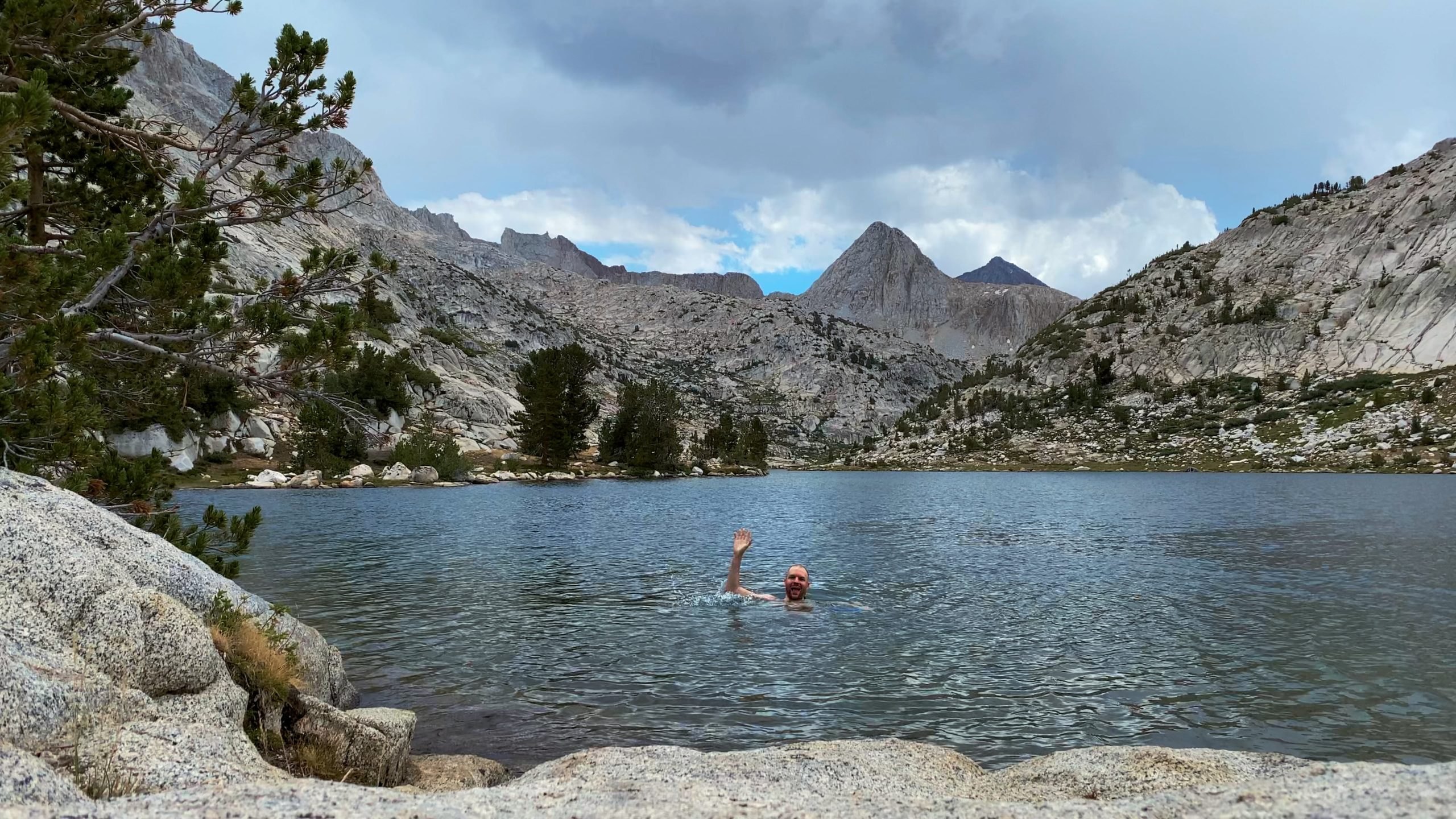
Almost as soon as we got out of the lake, we were hit by a hailstorm, so we got inside our tents to ride it out.
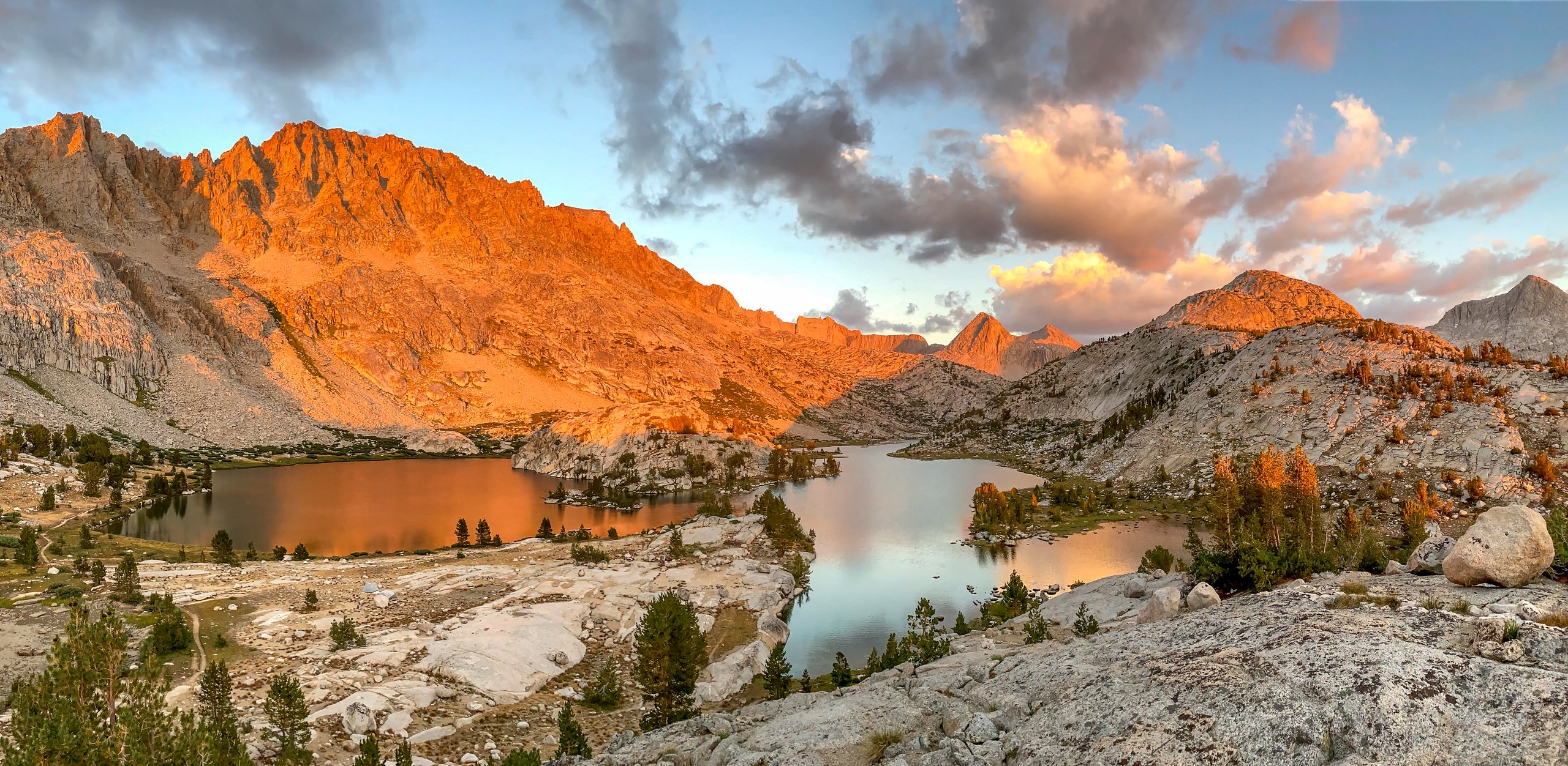
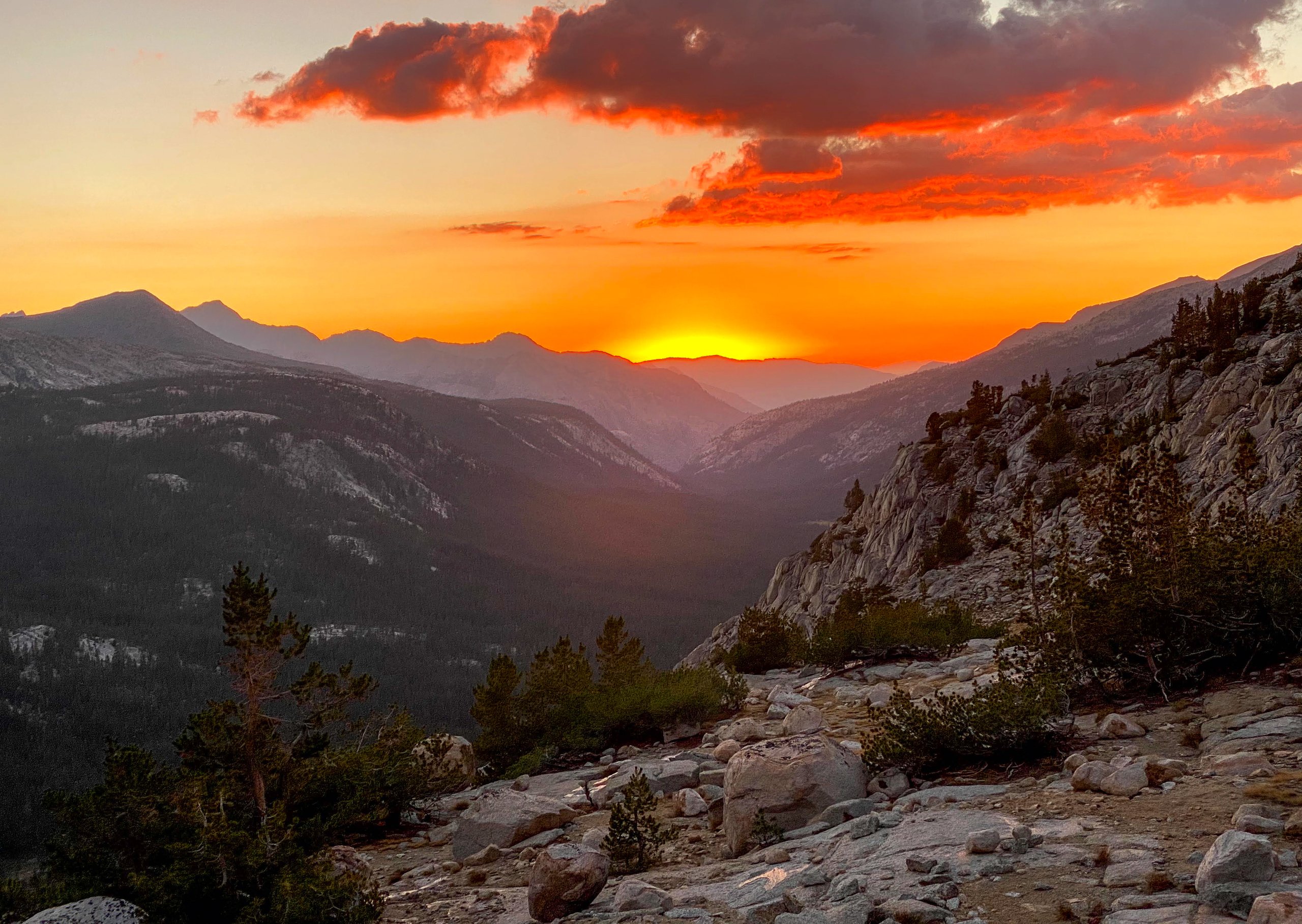
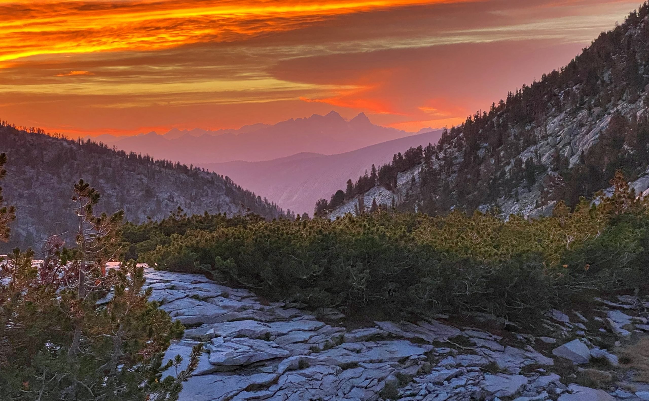
Sunset was spectacular. I climbed up to a ridge just north of the lake, which offered an amazing panoramic view in all directions. The last rays of the setting sun lit up the peaks behind Evolution Lake with glowing orange and red. The view of the sunset to the west, with layers of purple mountains, was just as dramatic.


Day 5: Evolution Lake to Little Pete Meadow
We woke up before 5 a.m. It was a brisk morning, under 40 degrees, so we struggled to get out of our sleeping bags and decided to stay in an extra half hour to warm up. We set off around 7 a.m. and quickly passed Sapphire Lake.
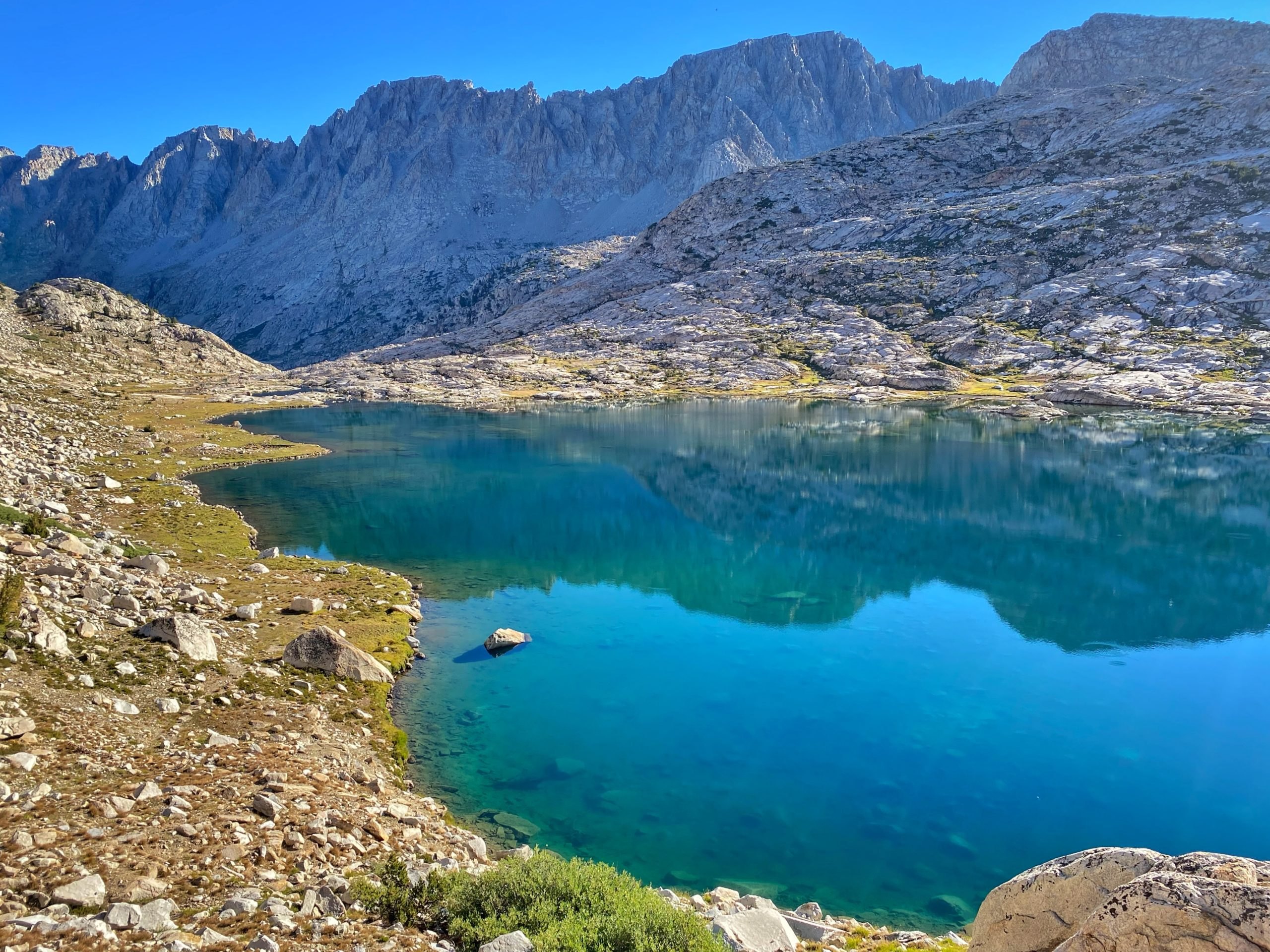
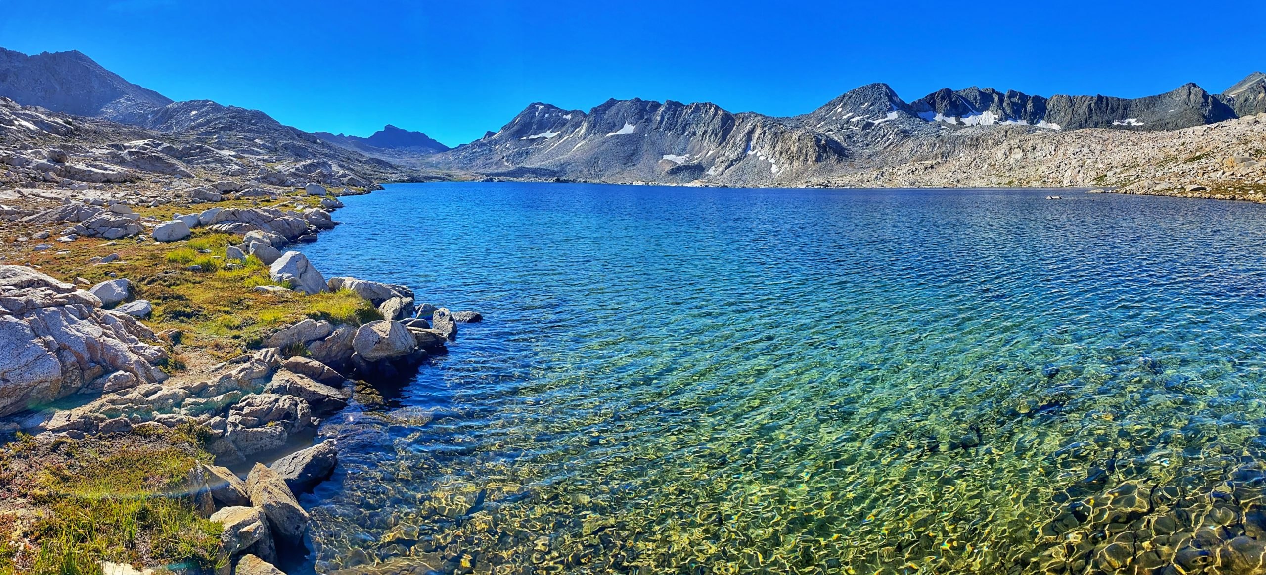
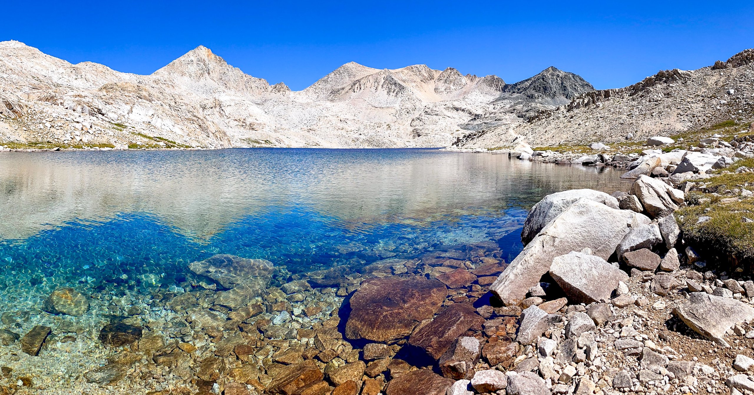
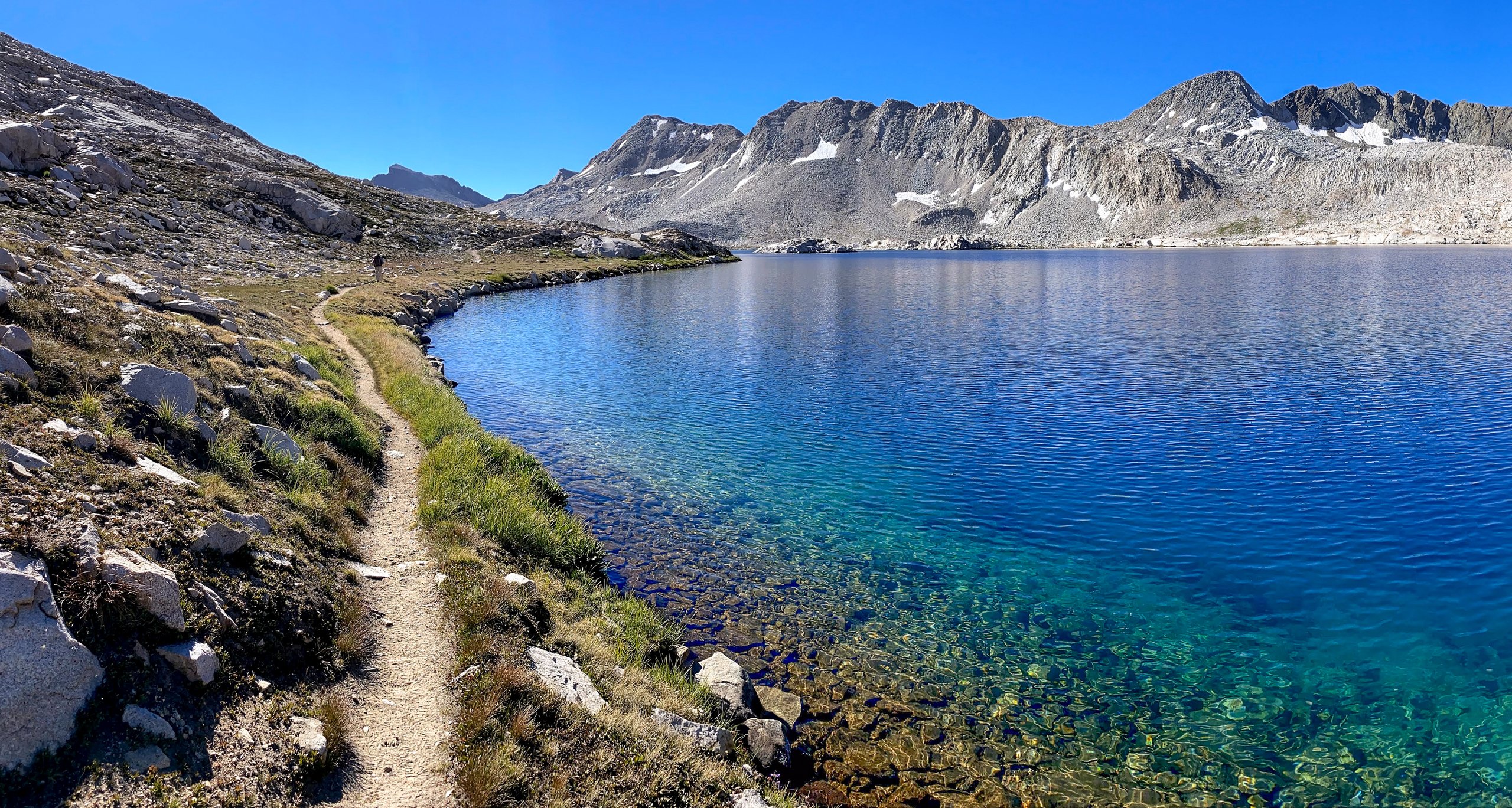
Wanda Lake, named after one of John Muir's daughters, was next, and it was beautiful. The rainbow of colors reflecting in its shallow waters was spectacular.
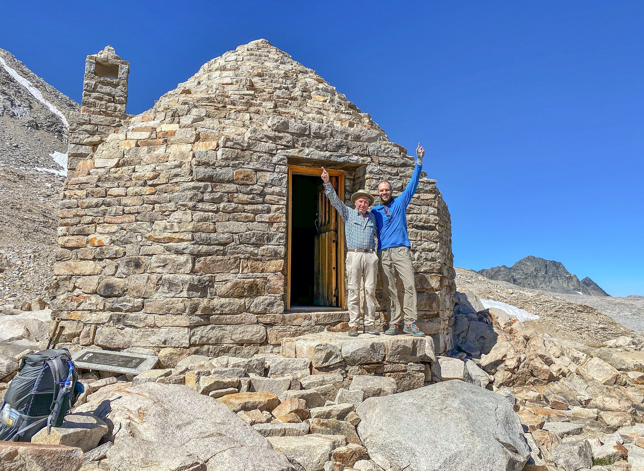
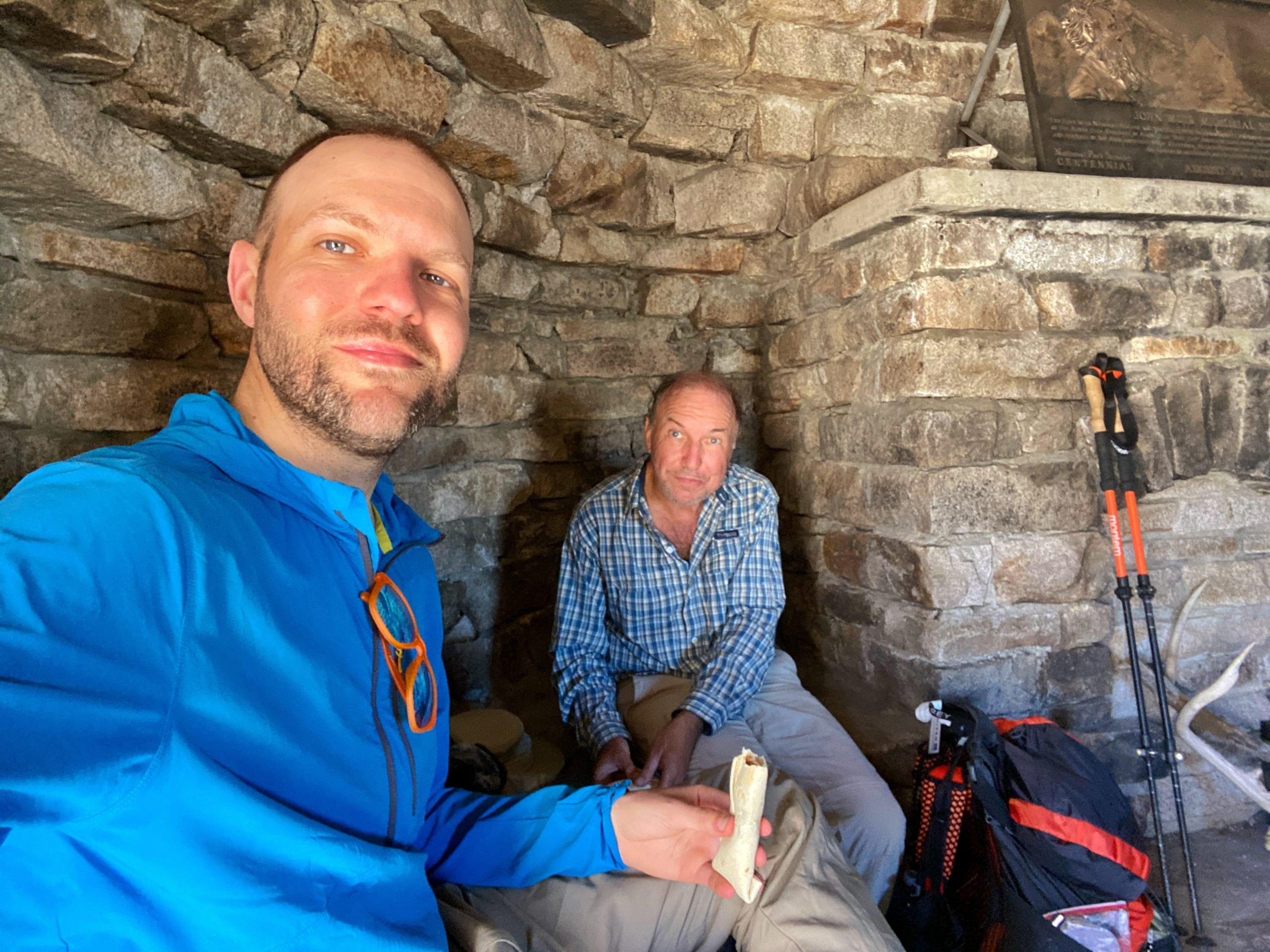
We finished the climb to the top of Muir Pass around 10:15 a.m. and had pulled pork wraps for lunch inside the Muir Hut, where a nice northbound hiker took our picture.
The descent on the other side of Muir Pass was rocky and challenging. We saw some snow patches by the trail as we passed the lovely Helen Lake, also named for one of John Muir's daughters.

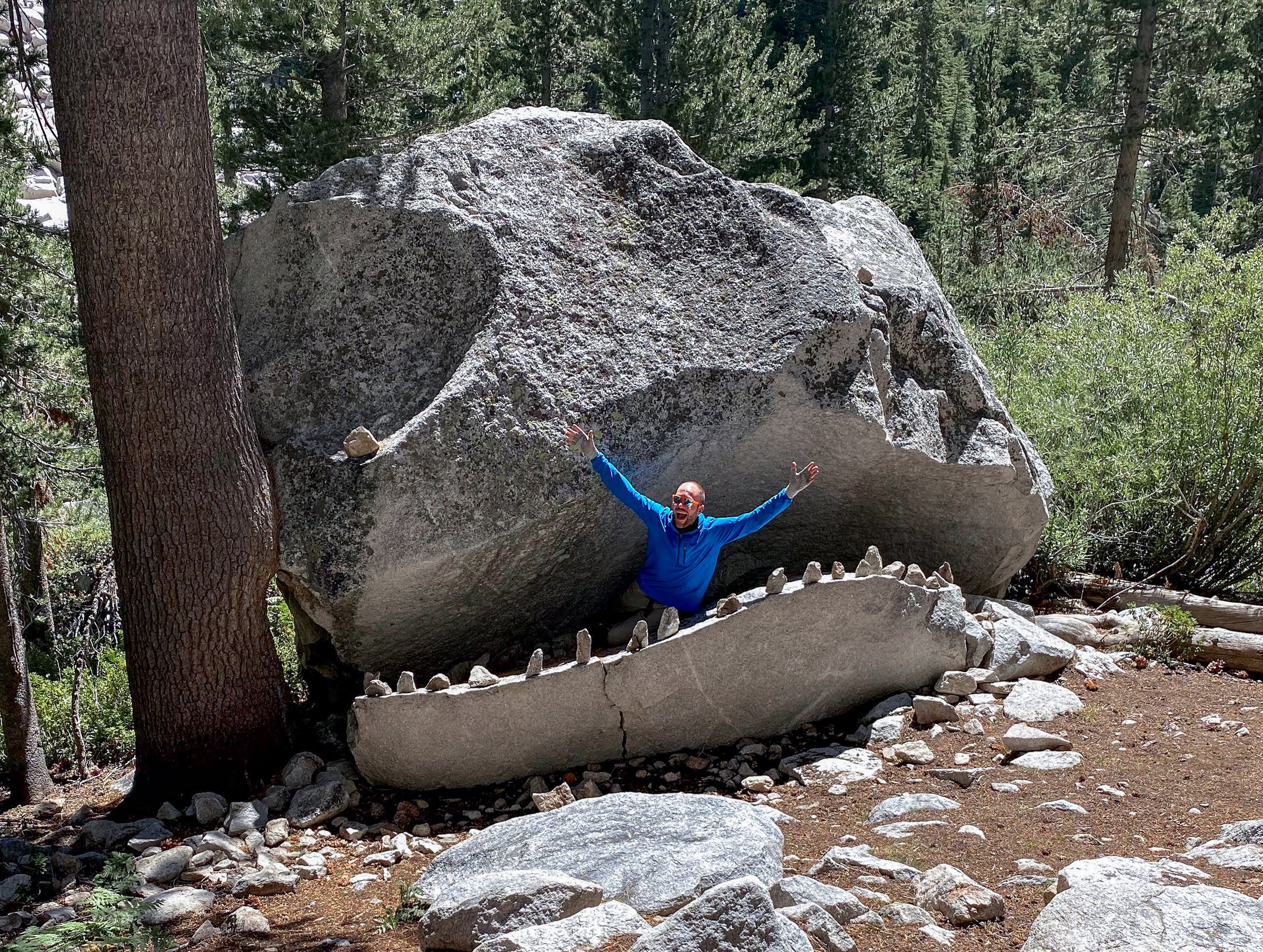
After descending a few thousand feet, we eventually reentered the forest and made it to the infamous JMT Rock Monster. Of course we stopped for the obligatory silly photo-op.
A few miles later, we made it to Little Pete Meadow, where we stopped and made camp. There we would be only half a mile from the junction with the Bishop Pass Trail and the start of the Dusy Switchbacks.
We got in our tent around sunset, and we immediately heard footsteps outside. I called out to ask if someone was walking by, but there was no reply. Only more footsteps, very close to the tent. Somewhat anxious, I poked my head out to see who was there, and about 10 feet away was a deer staring straight at me. He didn't run. He came back around our tent a few more times that evening. I guess we were camping in his spot.
From my journal · Day 5
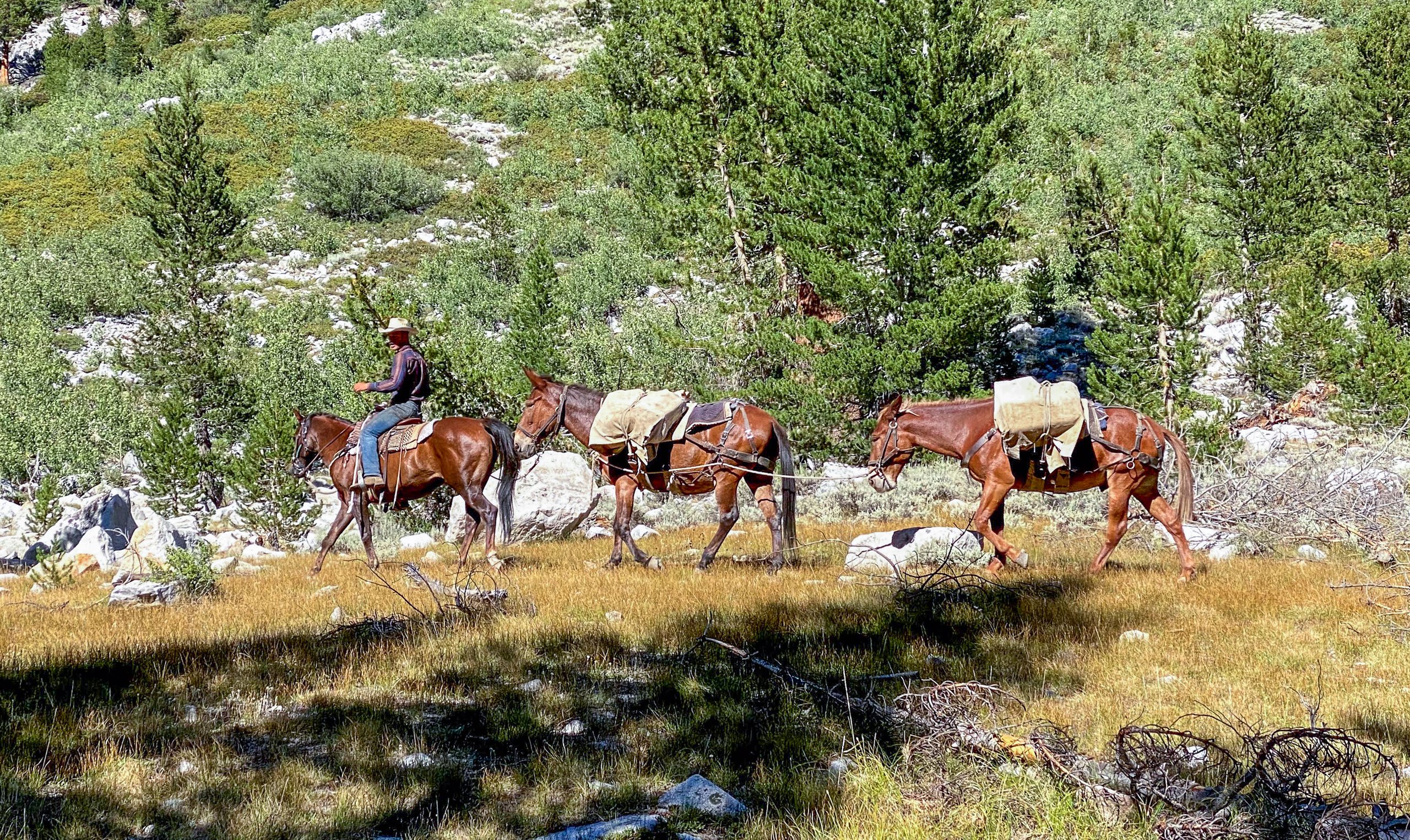
A pack horse came by with a resupply for a big party at the other end of the meadow. Tomorrow is planned to be our last day. Only about 11 miles but over 4,000 feet up over Bishop Pass. I can't wait to inhale a giant pizza.
Day 6: Little Pete Meadow to South Lake
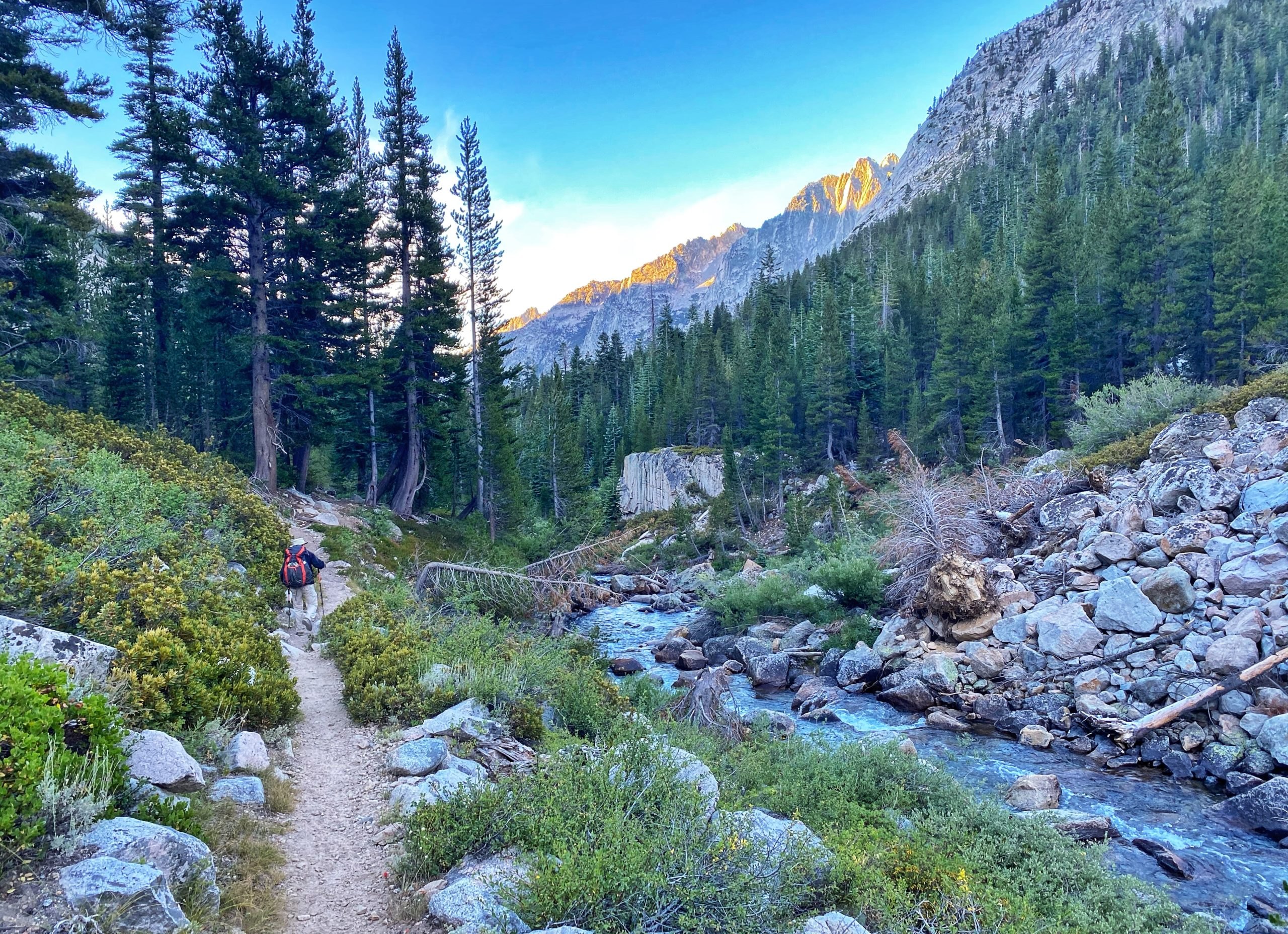
We broke camp and followed the Middle Fork Kings River for about half a mile to the junction with the Bishop Pass Trail. We turned off the John Muir Trail and made quick progress up the Dusy Switchbacks. The hike up was unrelenting, but the views were worth it.
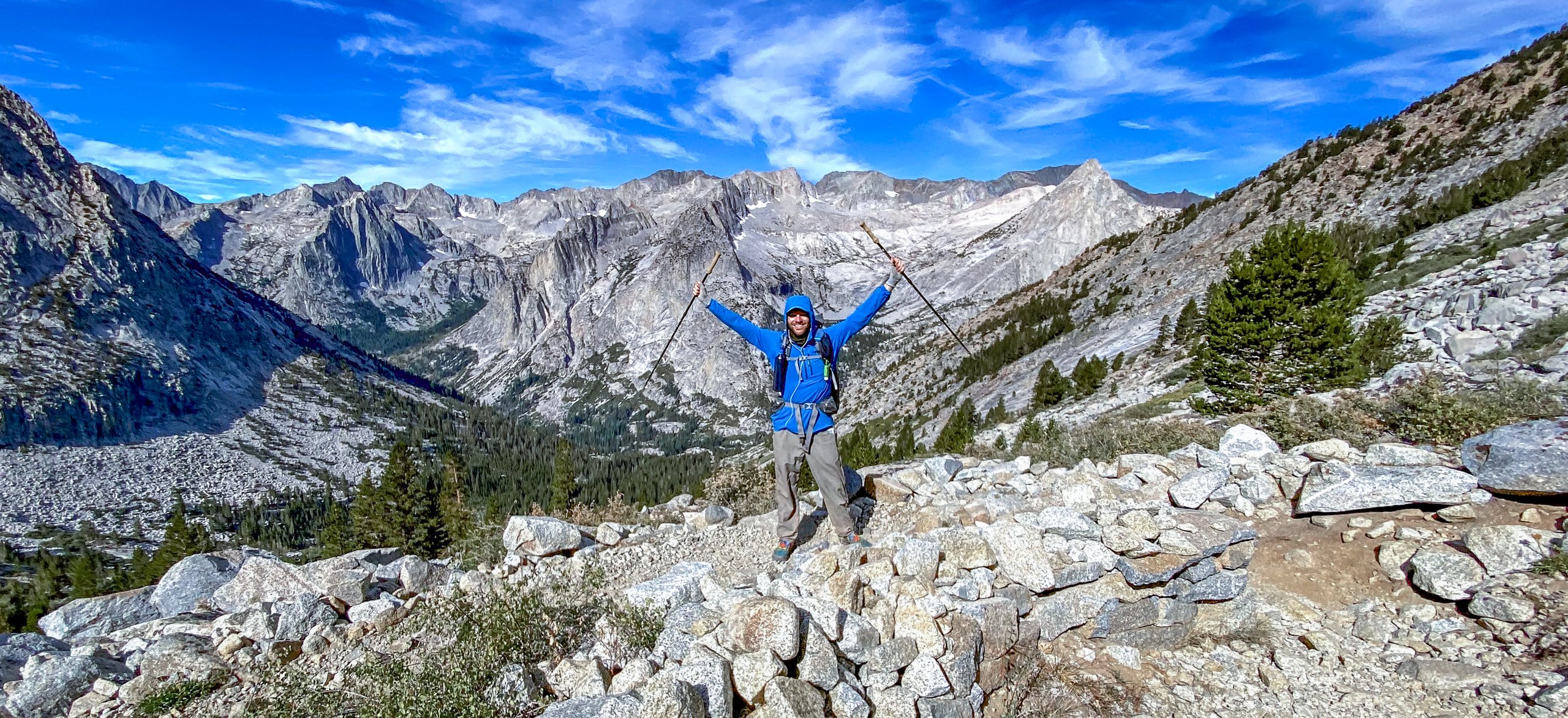
After the switchbacks, we reached the beautiful Dusy Basin, where we refilled our water at a small stream in a meadow and stopped for a snack. On our final ascent to Bishop Pass, I broke the bottom section of one of my poles. Bummer.
There are no real views from the top of Bishop Pass, but once you start to descend, the views of the lakes and valley are spectacular. We also passed the area where dozens of mule deer slid and fell to their deaths in 2017. Even three years later, it still smelled a little.
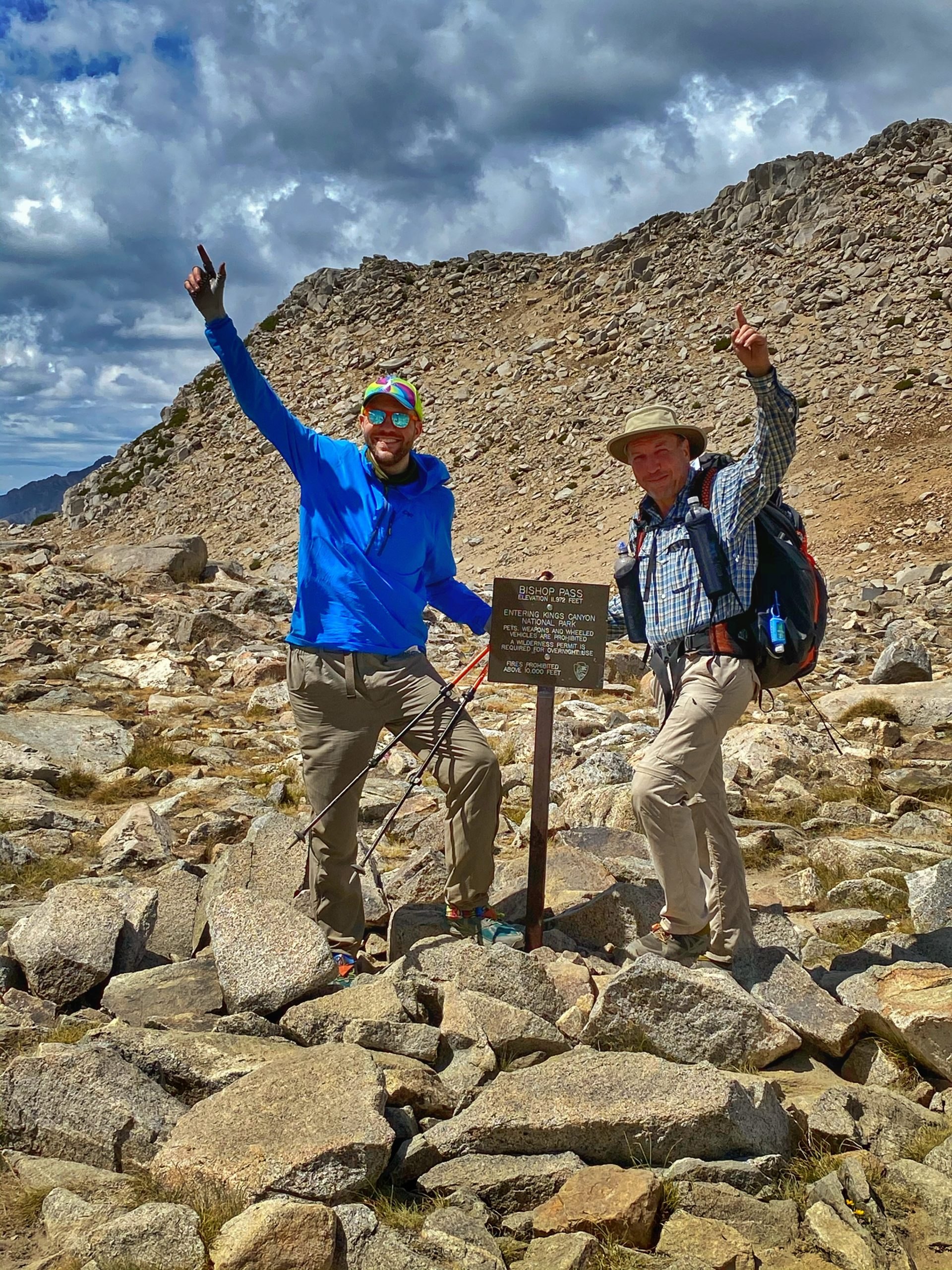
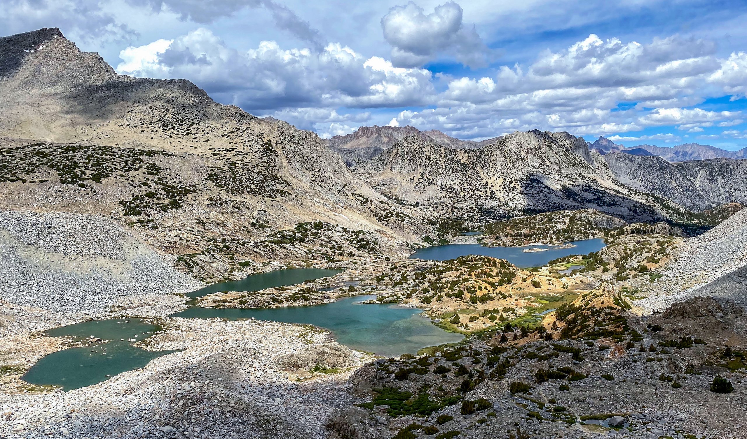

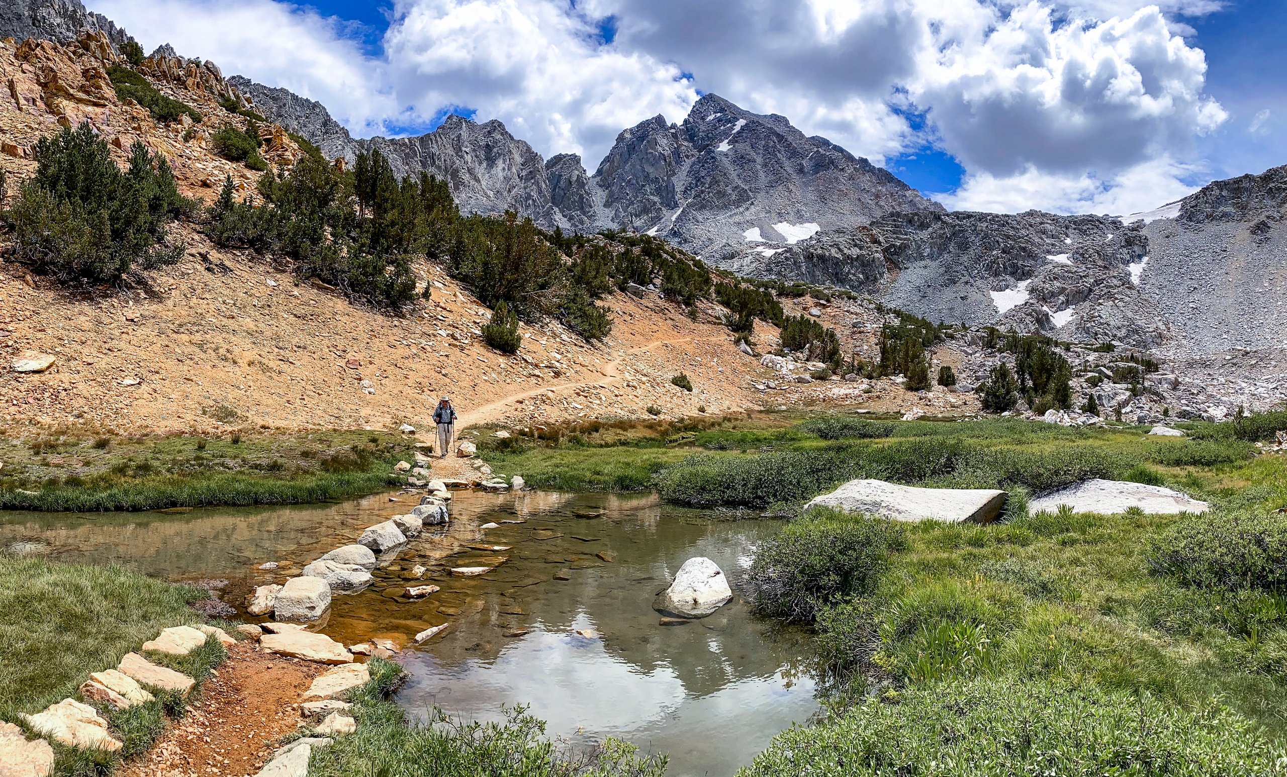

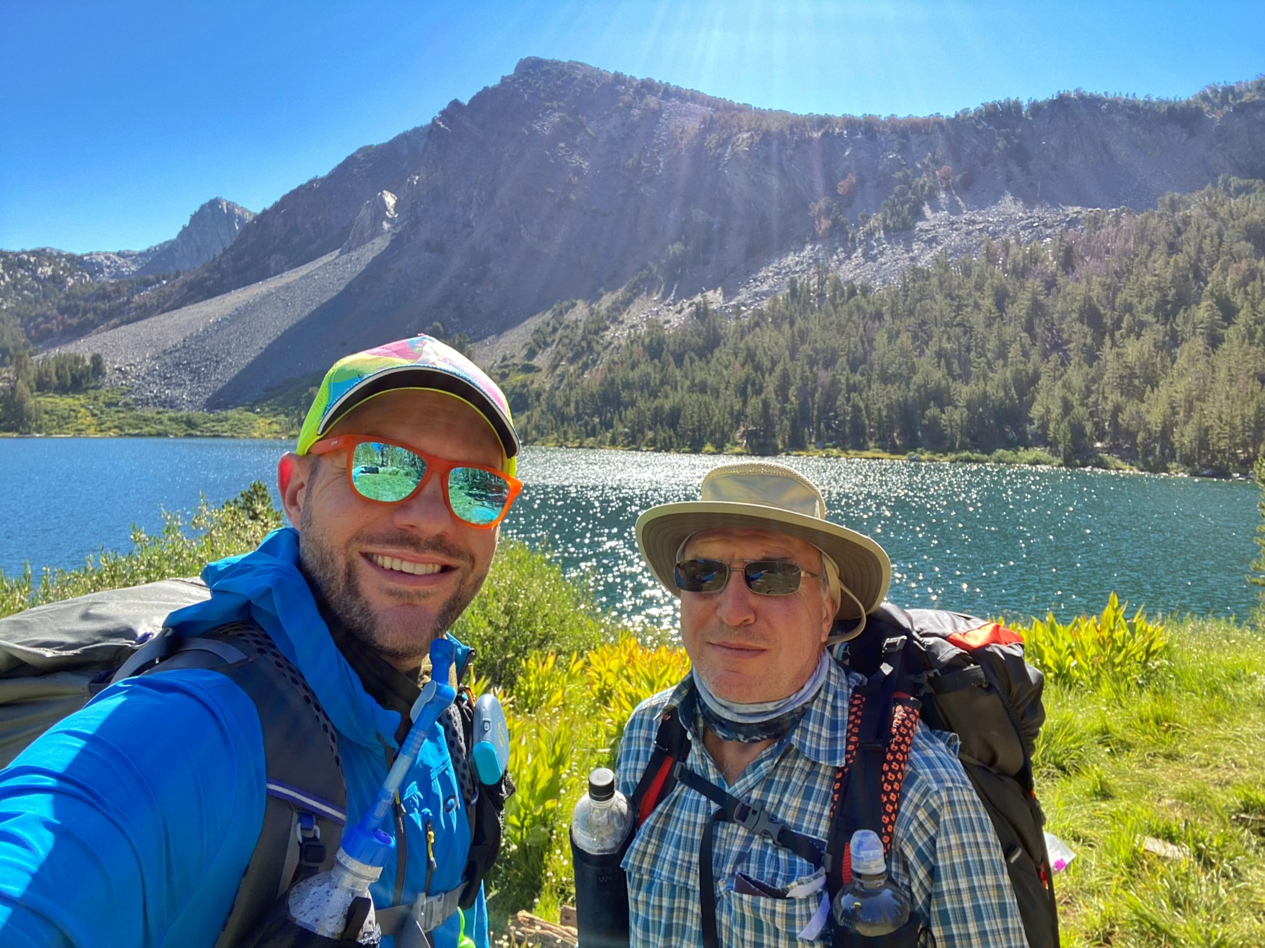
During the final few miles, we passed many pretty lakes, a wide variety of ecosystems, and what seemed like more wildlife than we had seen in the previous 80 miles. When we reached the trailhead at South Lake, we took a celebratory photo, got into our rental car, and drove back to our hotel in Bishop.
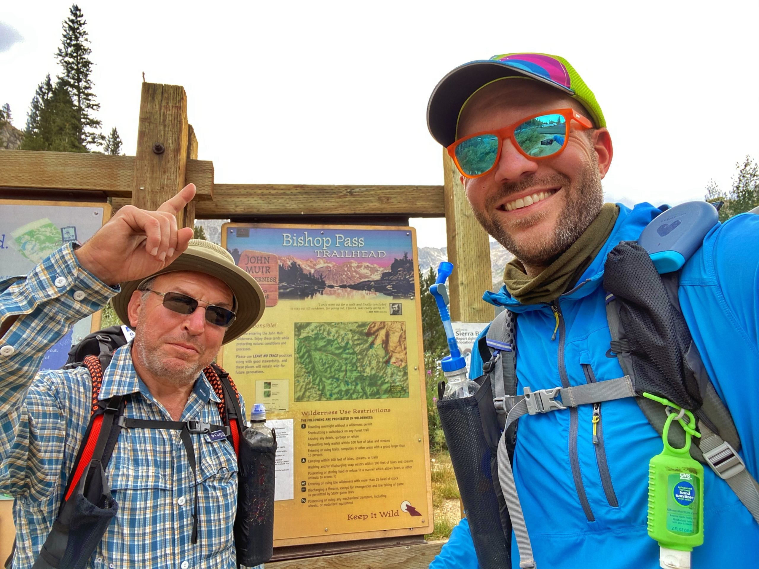
From my journal · Day 6
We devoured a large pizza and most of a chicken parm meal, some beer, and wine, plus some chocolate. This was quite an adventure and easily the greatest scenery I've ever seen. Can't wait to finish the JMT with part 3 next year.
More photos from Part 2

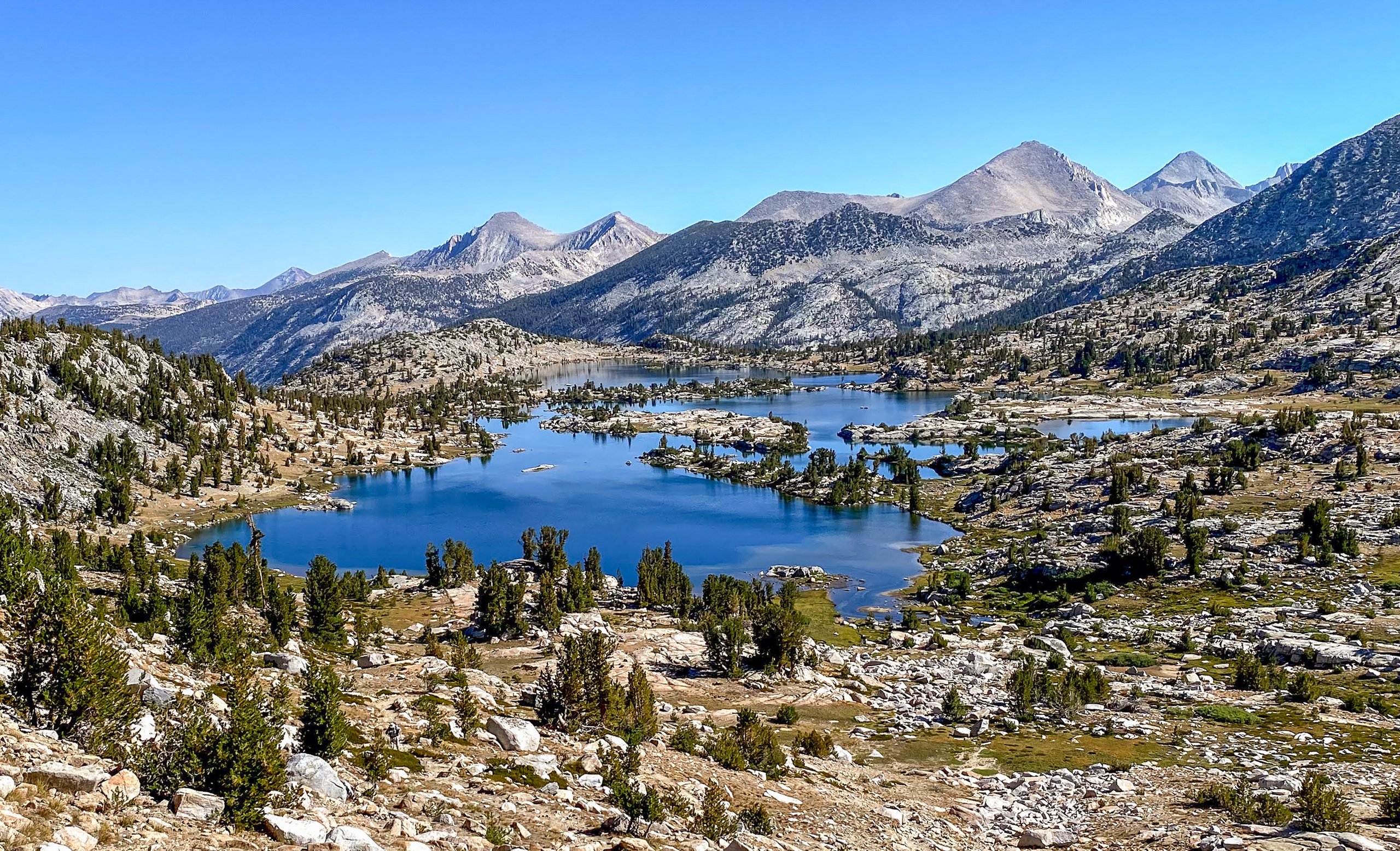

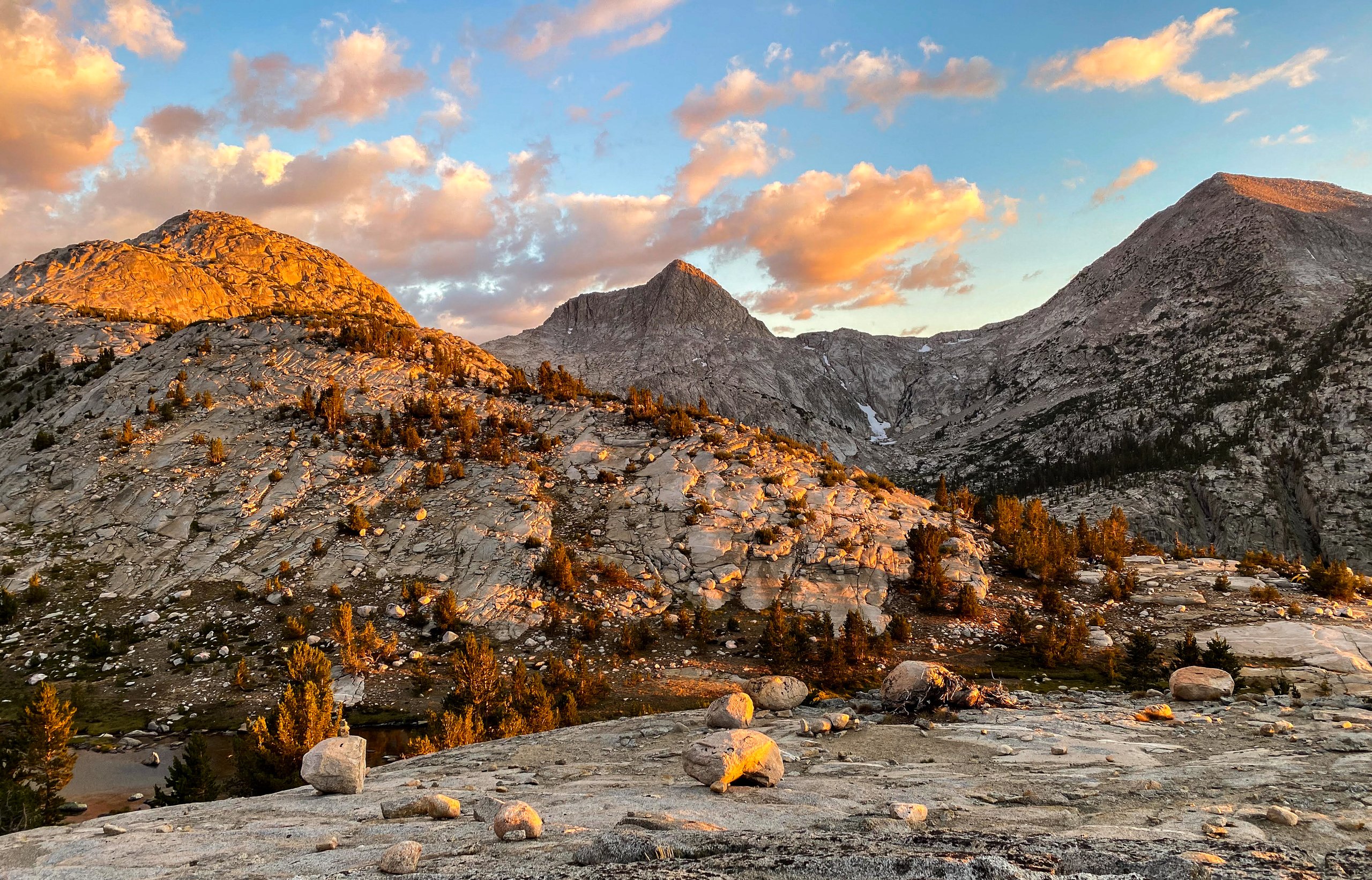

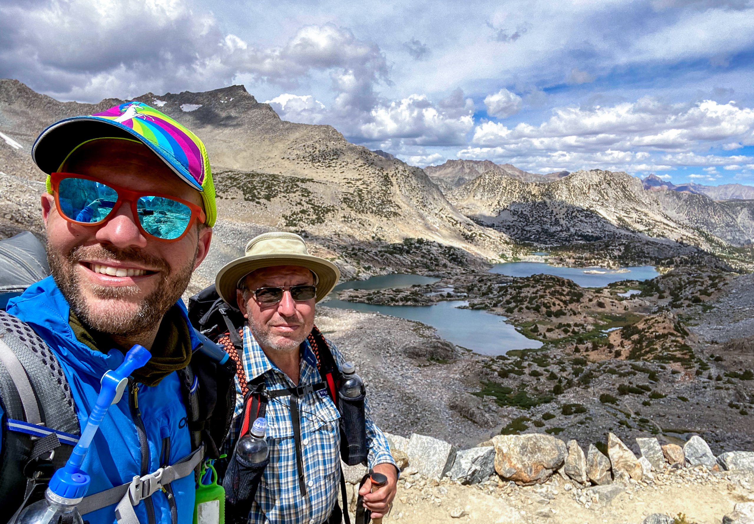
Part 3 (2021): Bishop Pass to Mount Whitney
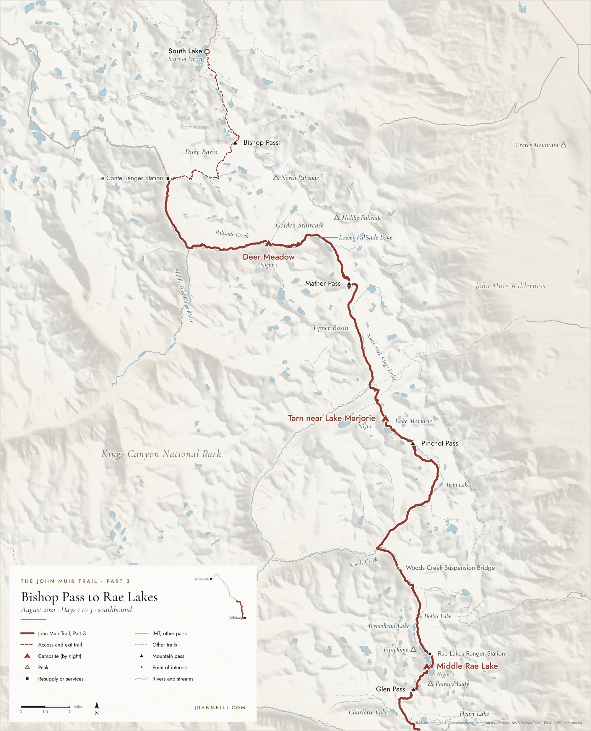
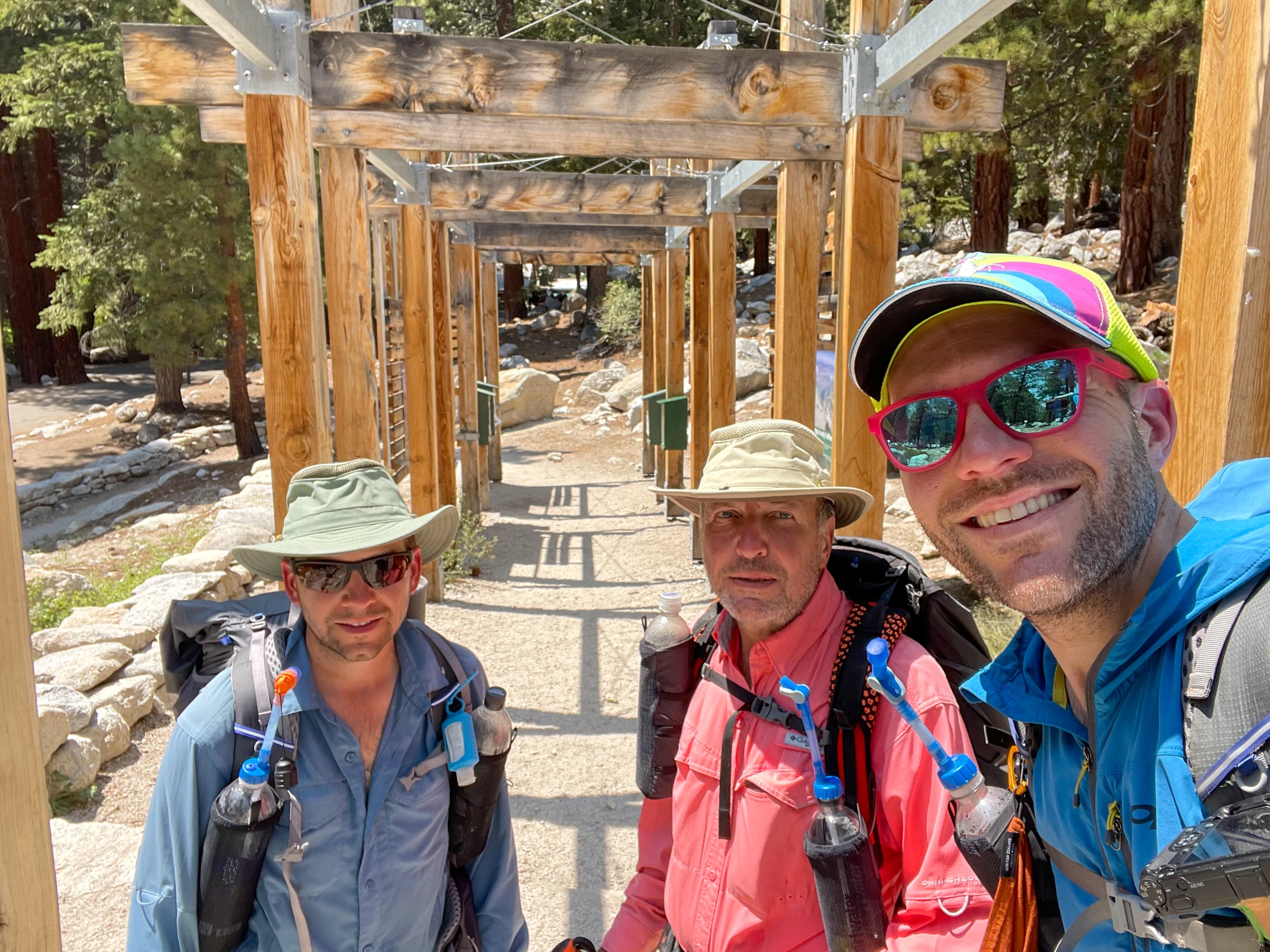
Over seven days in August of 2021, my dad, Francisco, and I hiked the final part of our section hike. Starting from the South Lake Trailhead in Bishop, we hiked 10.9 miles over the Bishop Pass Trail back to the John Muir Trail, followed the JMT south over Mather, Pinchot, Glen, and Forester Passes to the summit of Mount Whitney, and hiked out via the Mount Whitney Trail to Whitney Portal in Lone Pine.
Getting there
My dad and I flew to San Francisco, where my brother lives, and we drove about seven hours to Lone Pine. Our hotel had views of the Sierra, including Mount Whitney, with the Alabama Hills in the foreground. The next morning, we vacuumed the car to help keep bears away while it sat at Whitney Portal.
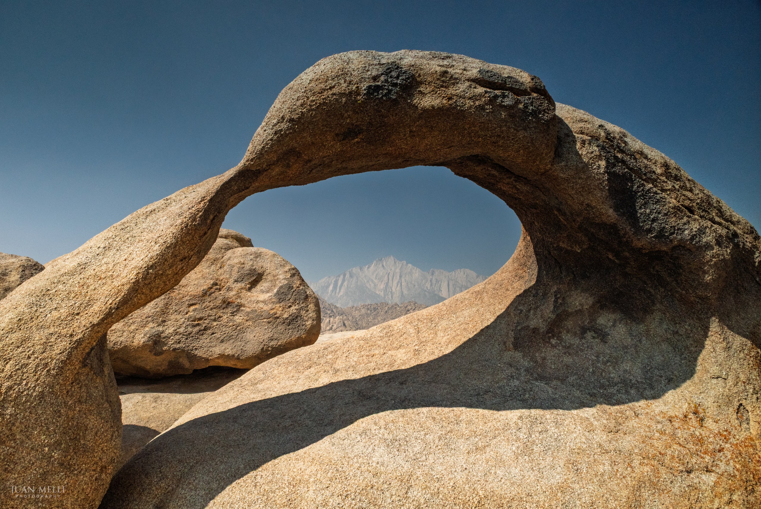
On our way to Whitney Portal, we stopped for a quick hike in the Alabama Hills and visited Mobius Arch, which from the right spot perfectly frames Lone Pine Peak. Smoke had drifted in from wildfires to the north, so the mountains were hazy. We left our car at Whitney Portal, weighed our full packs on the scale at the start of the Mount Whitney Trail (mine came in around 28.5 pounds), and took a shuttle to Bishop for the night.

Day 1: Bishop Pass to Deer Meadow
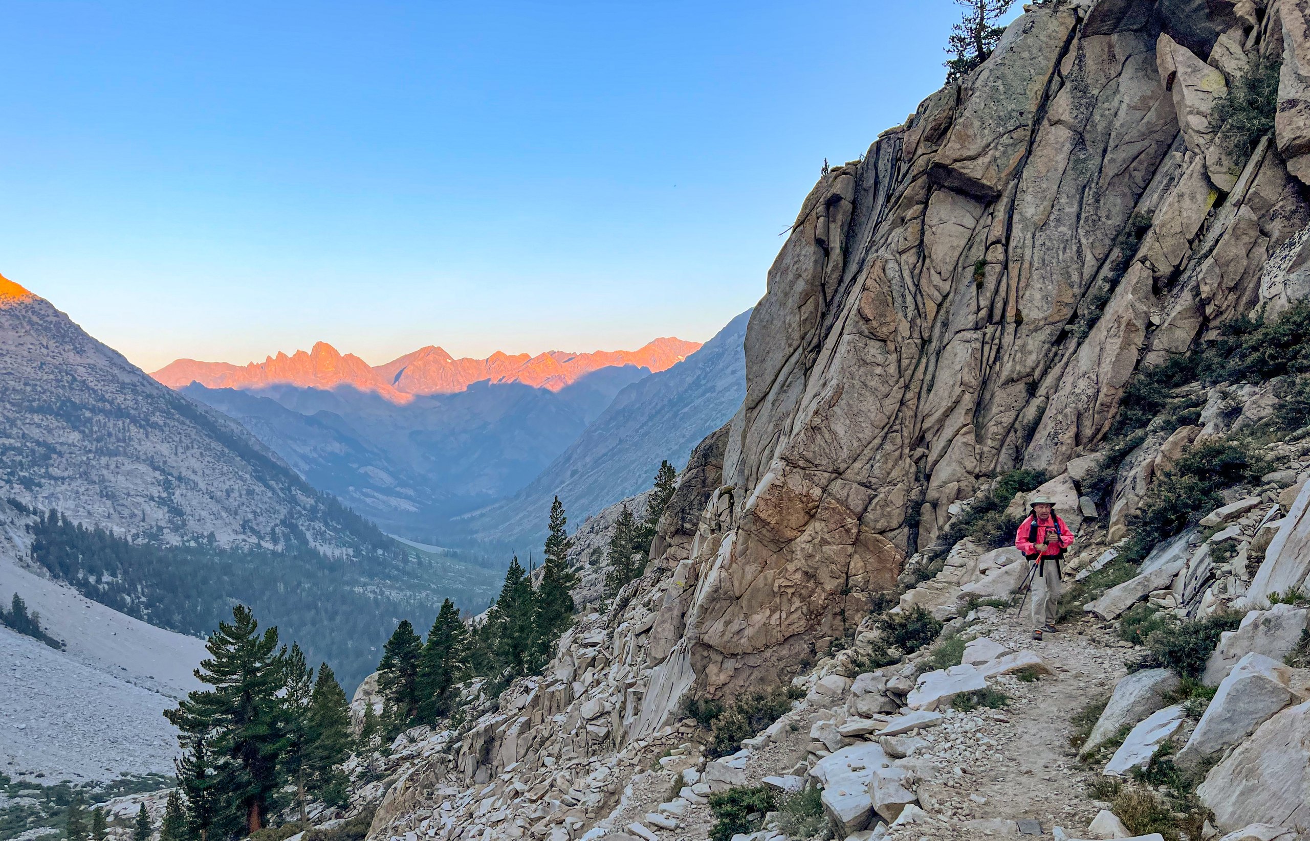
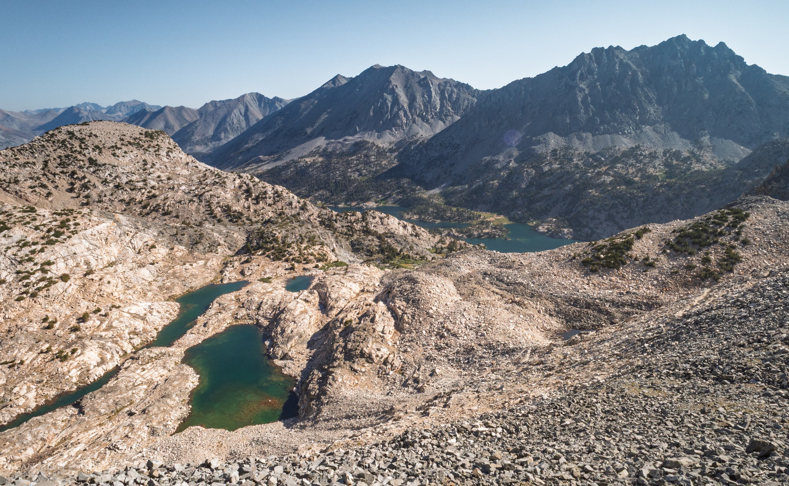
At 3:45 a.m., our shuttle driver picked us up from our hotel and dropped us off at the South Lake trailhead around 4:30 a.m. We set off in the dark along the Bishop Pass Trail and were treated to amazing alpenglow on the way to the pass.
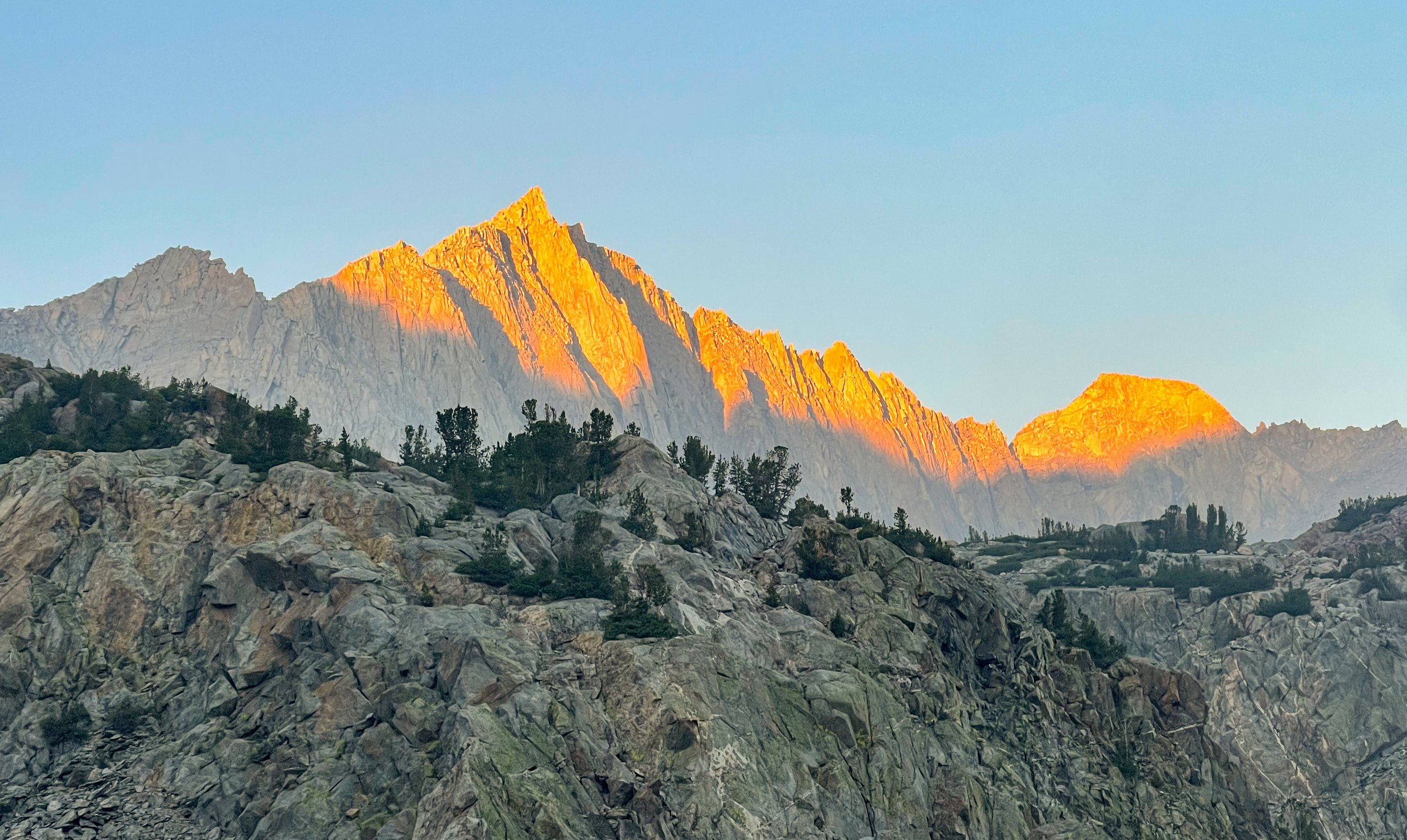
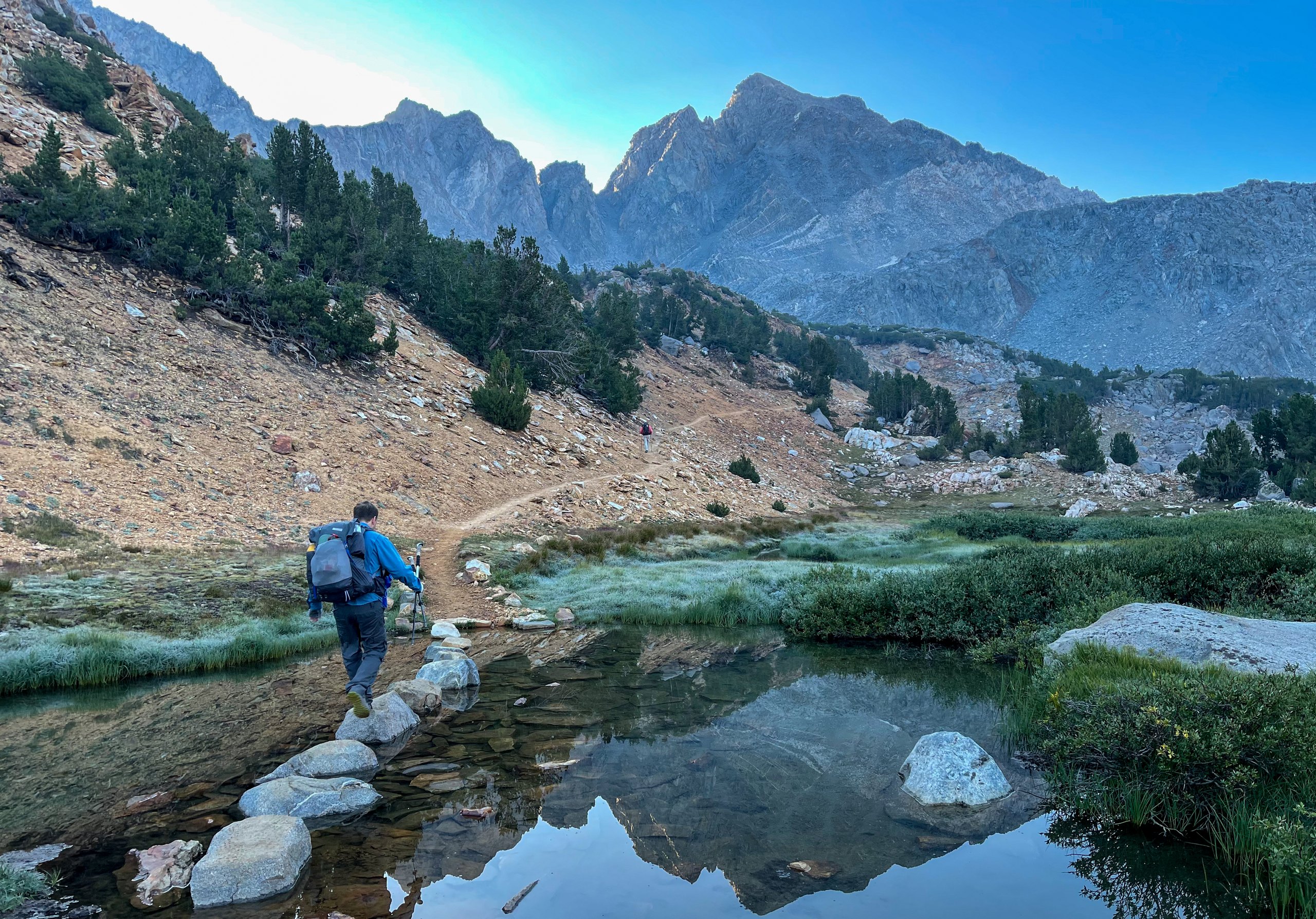
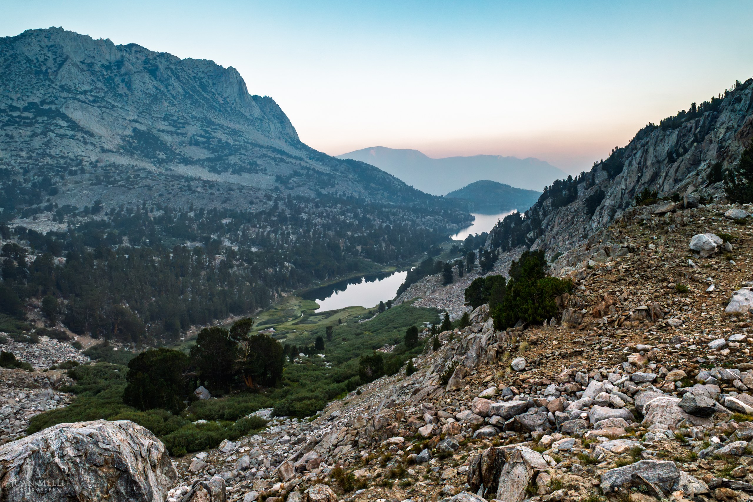

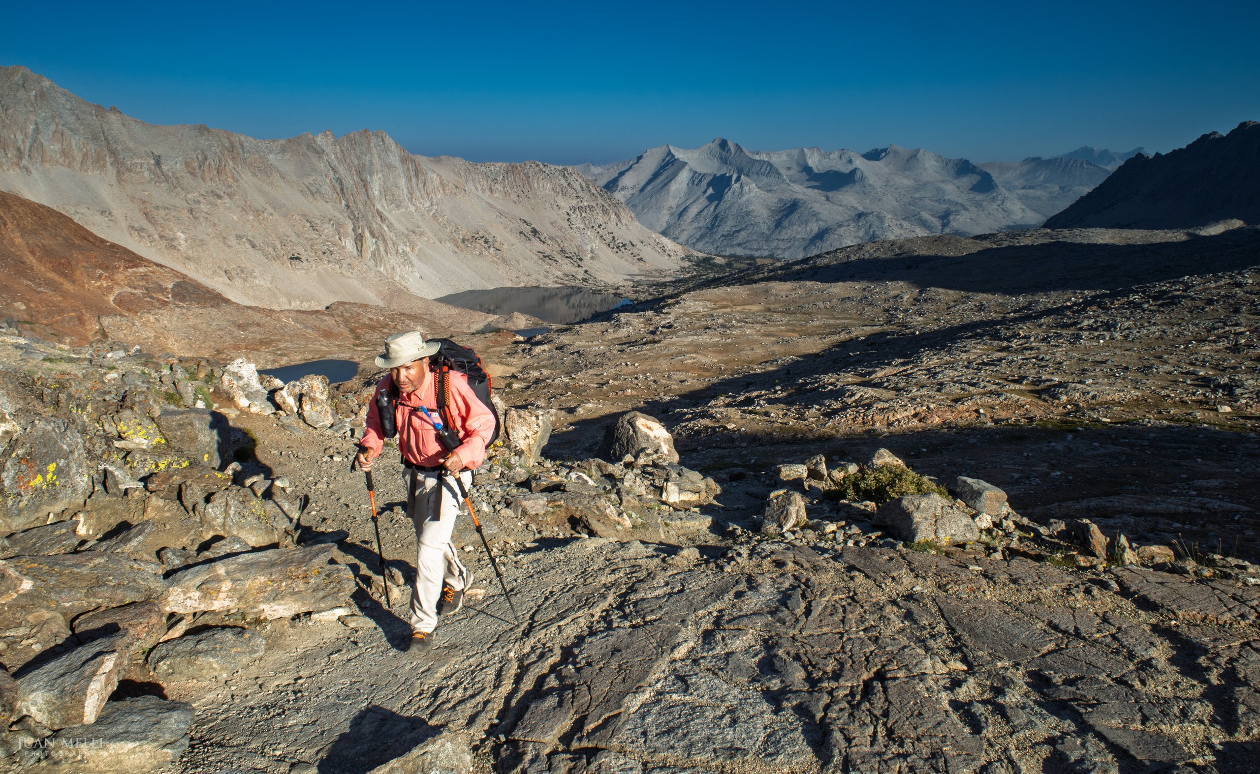
We reached the 11,972-foot Bishop Pass just after the sun rose, leaving Inyo National Forest and entering Kings Canyon National Park. Next we hiked through the lovely Dusy Basin.
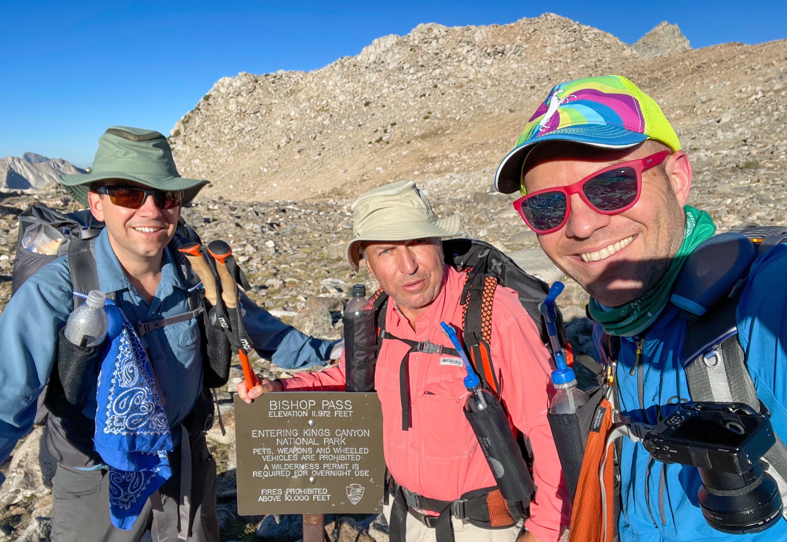
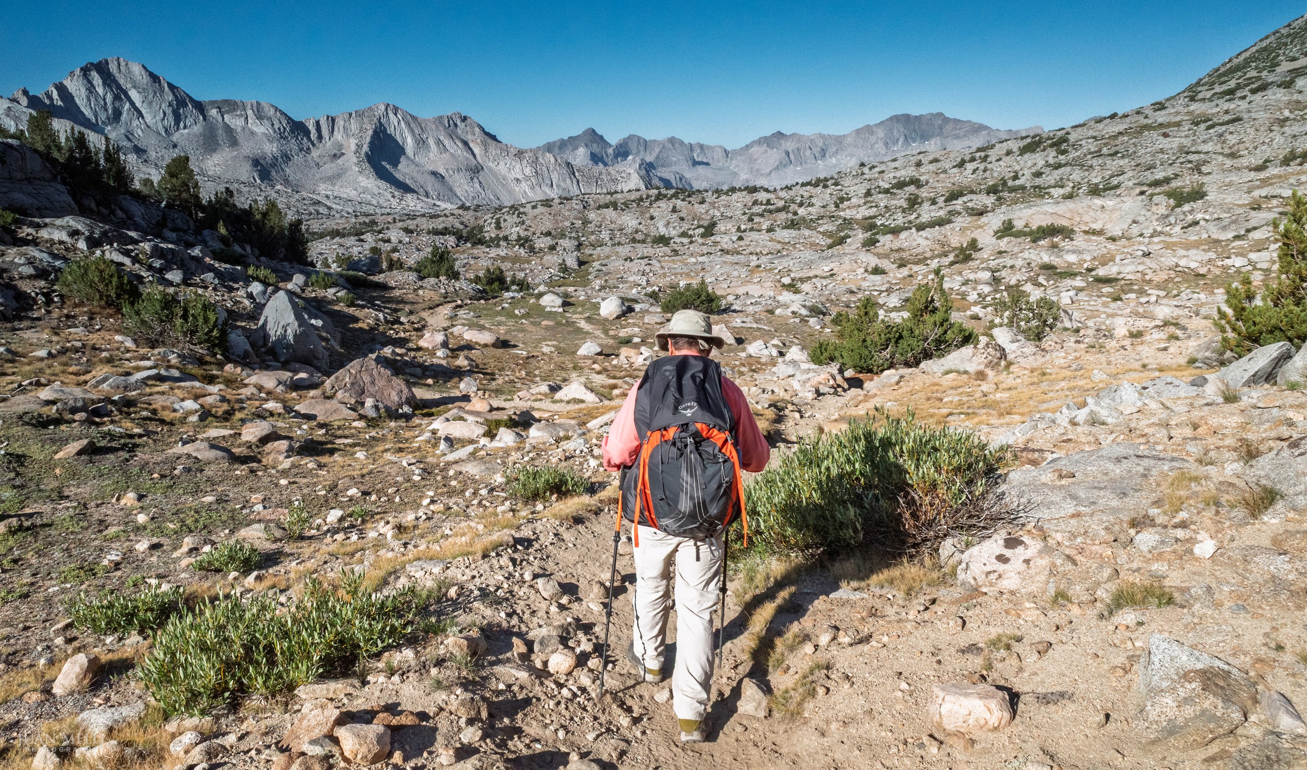
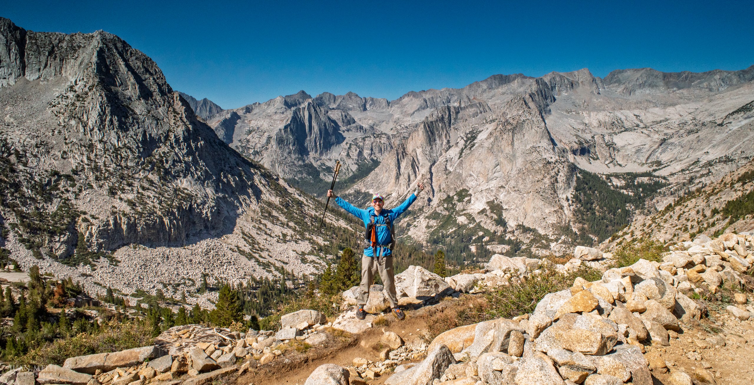
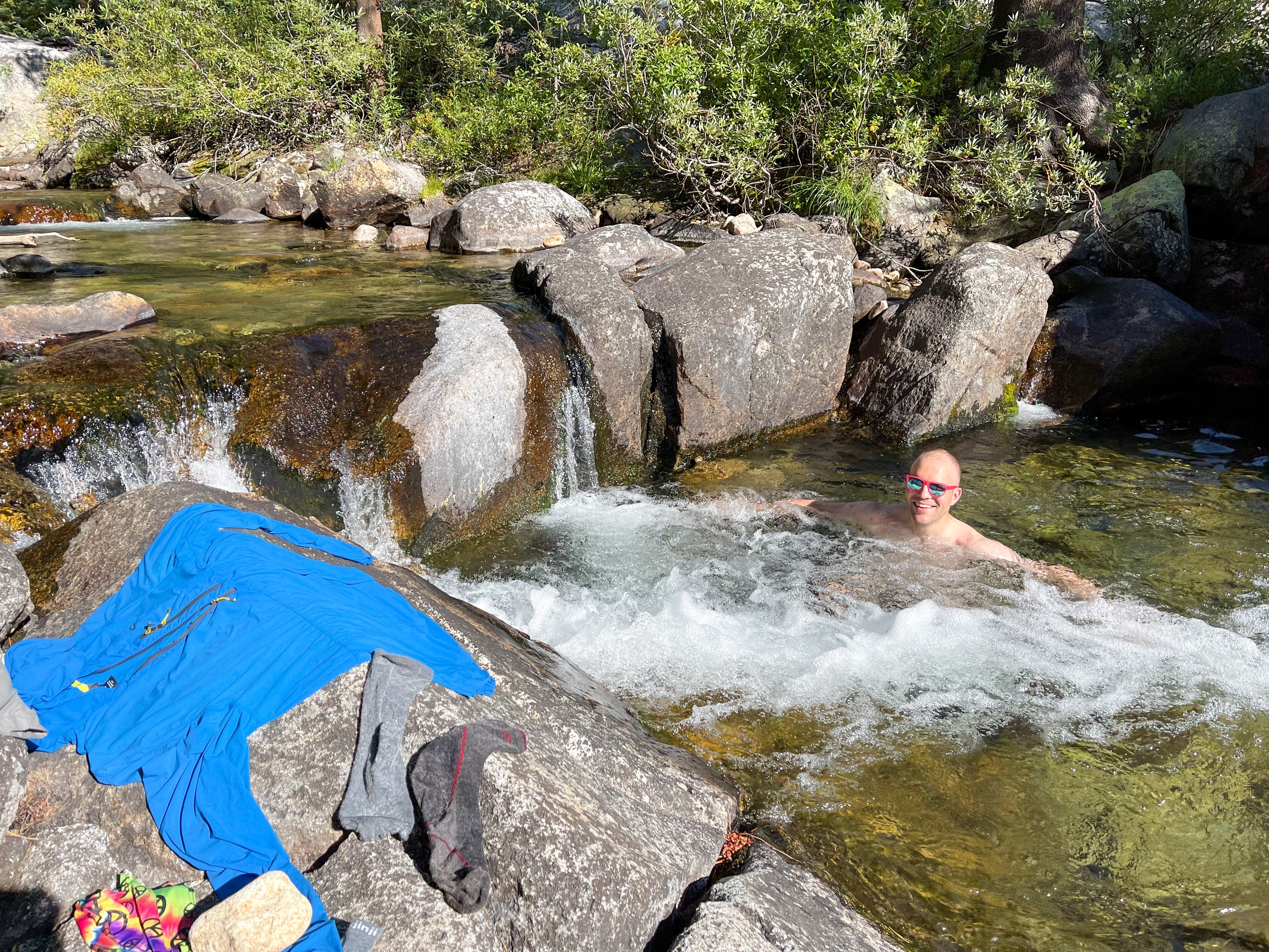
We descended the Dusy Switchbacks to LeConte Canyon and followed the Middle Fork Kings River. It was really hot, and we had heat exhaustion, or were close to it, at this point. We eventually reached Deer Meadow and found a nice shaded campsite next to Palisade Creek, where I washed my clothes and took a refreshing dip.
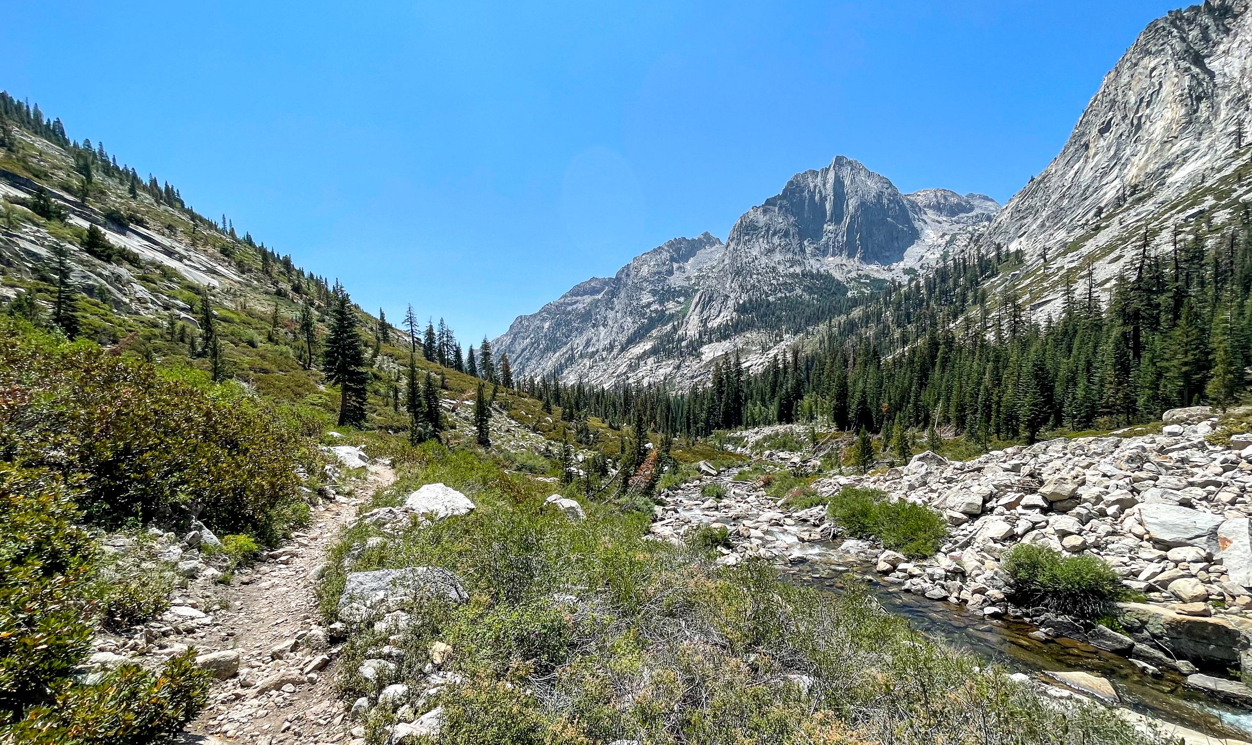
From my journal · Day 1
The switchbacks felt never-ending. We descended to the Middle Fork Kings River and by this point it was hot and we were hurting. We continued on but weren't sure if we would make it to our target camp site. After dipping my head in a stream, I felt much better and was able to run ahead to find a camp site.
Day 2: Deer Meadow to a tarn near Lake Marjorie
The day began at 5 a.m. with a climb up the Golden Staircase.
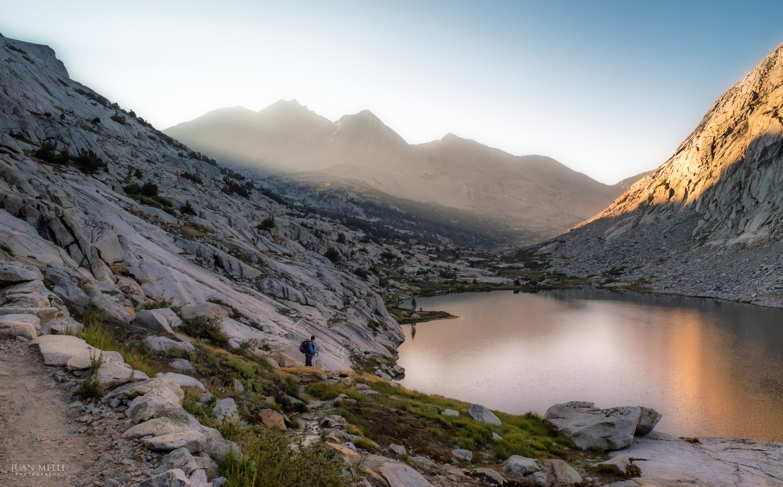
We then passed through Palisade Basin and Upper and Lower Palisade Lakes as the sun's first rays filtered through the mountains, creating a nice light show.

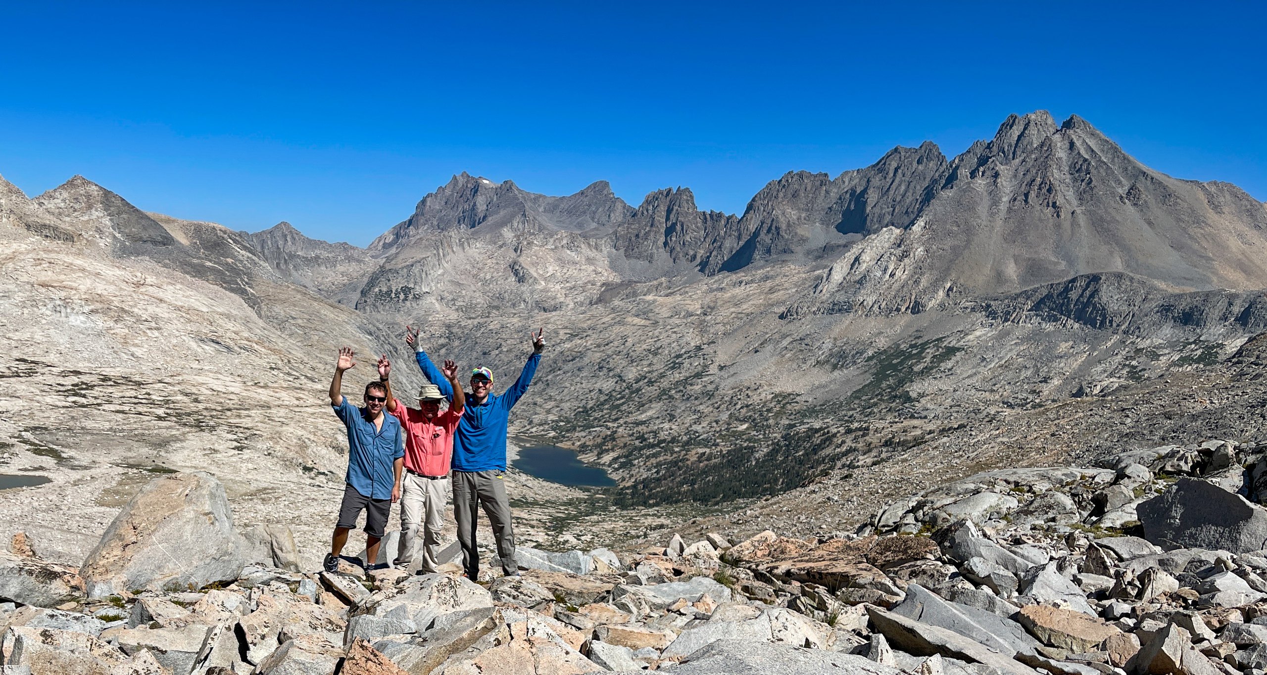
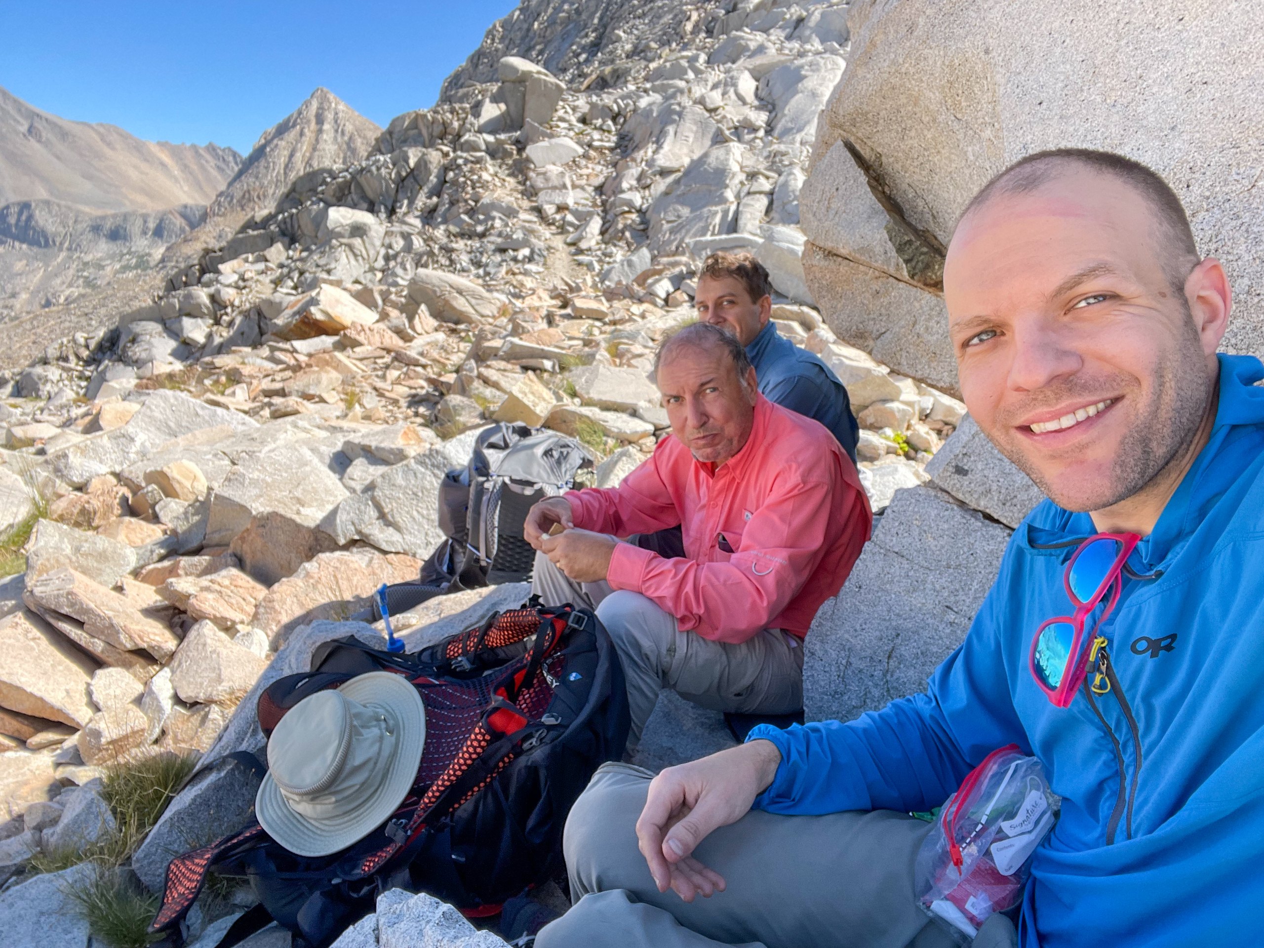
We then climbed Mather Pass and got most of our day's climb out of the way while still in the shade. We stopped at the top for a break before continuing down the south side of the pass.
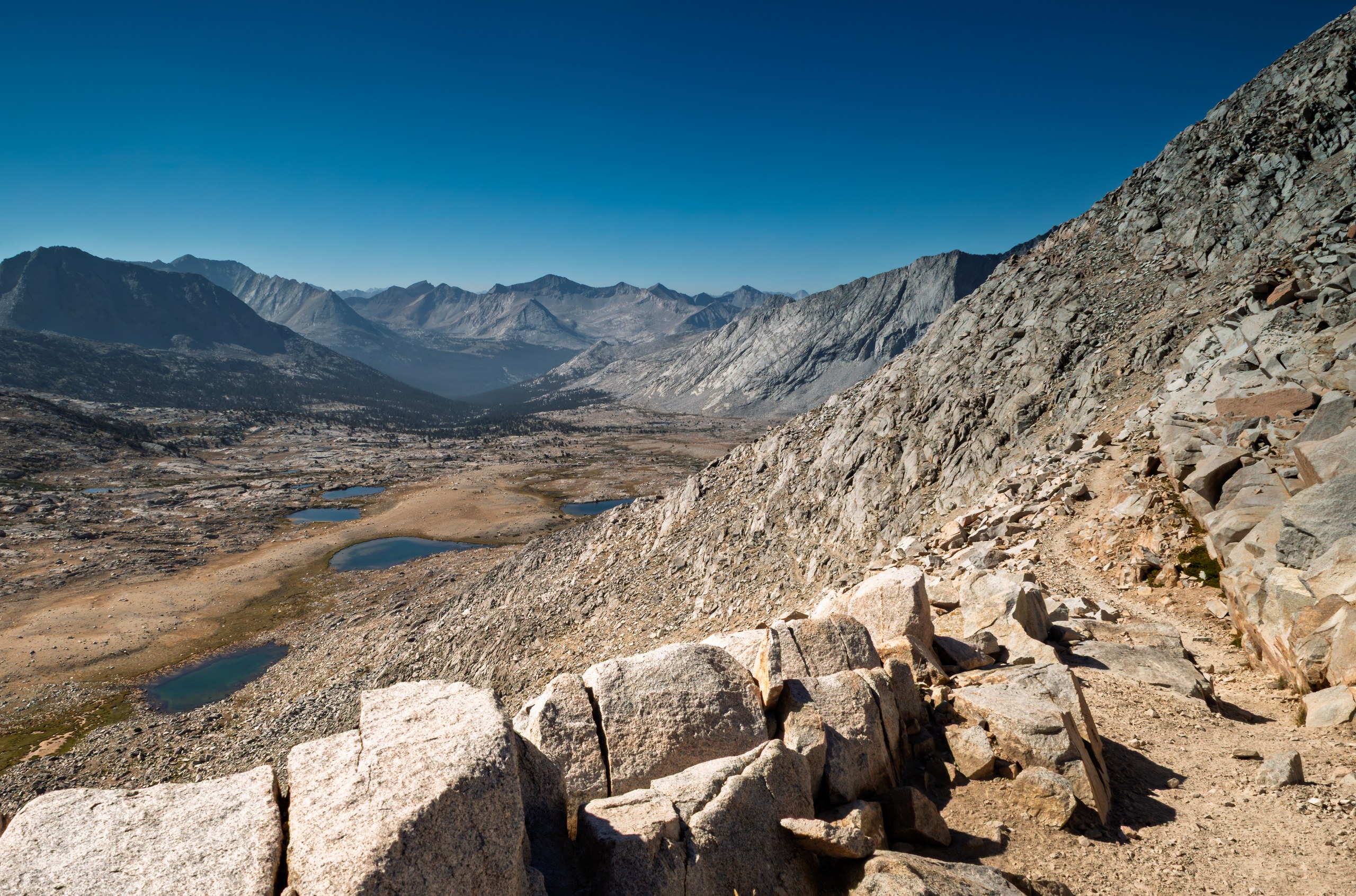

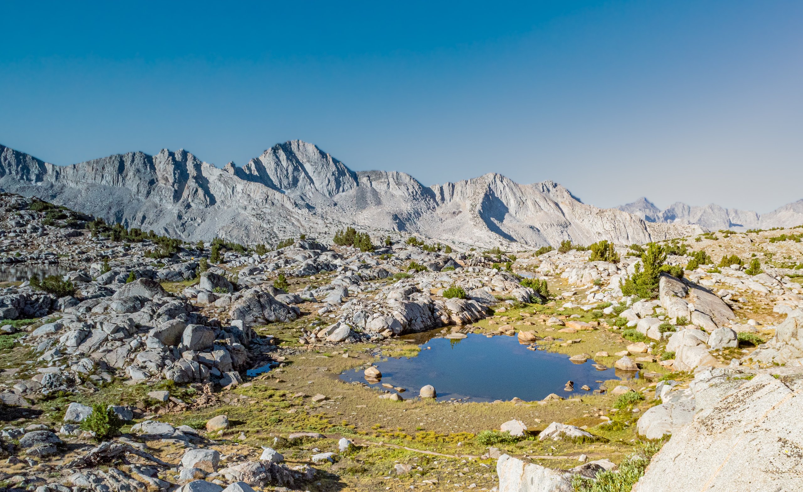
After Mather Pass, we descended on switchbacks and then walked through Upper Basin, which was dotted with small tarns. The trail through Upper Basin was nicely graded with a constant descent, and we made good time as we reached the South Fork Kings River.
Our plan was to camp at Lake Marjorie, but I came across a beautiful little lake, assumed it had to be the much-praised Lake Marjorie, and stopped and set up camp. It turned out I had stopped at an unnamed lake just north of Lake Marjorie. No problem. We had the lake to ourselves at a lovely campsite right next to the water, and we watched a colorful sunset as the last rays reflected off the nearby mountains and in the still lake. As the sun set, the lake came alive with fish jumping out of the water.
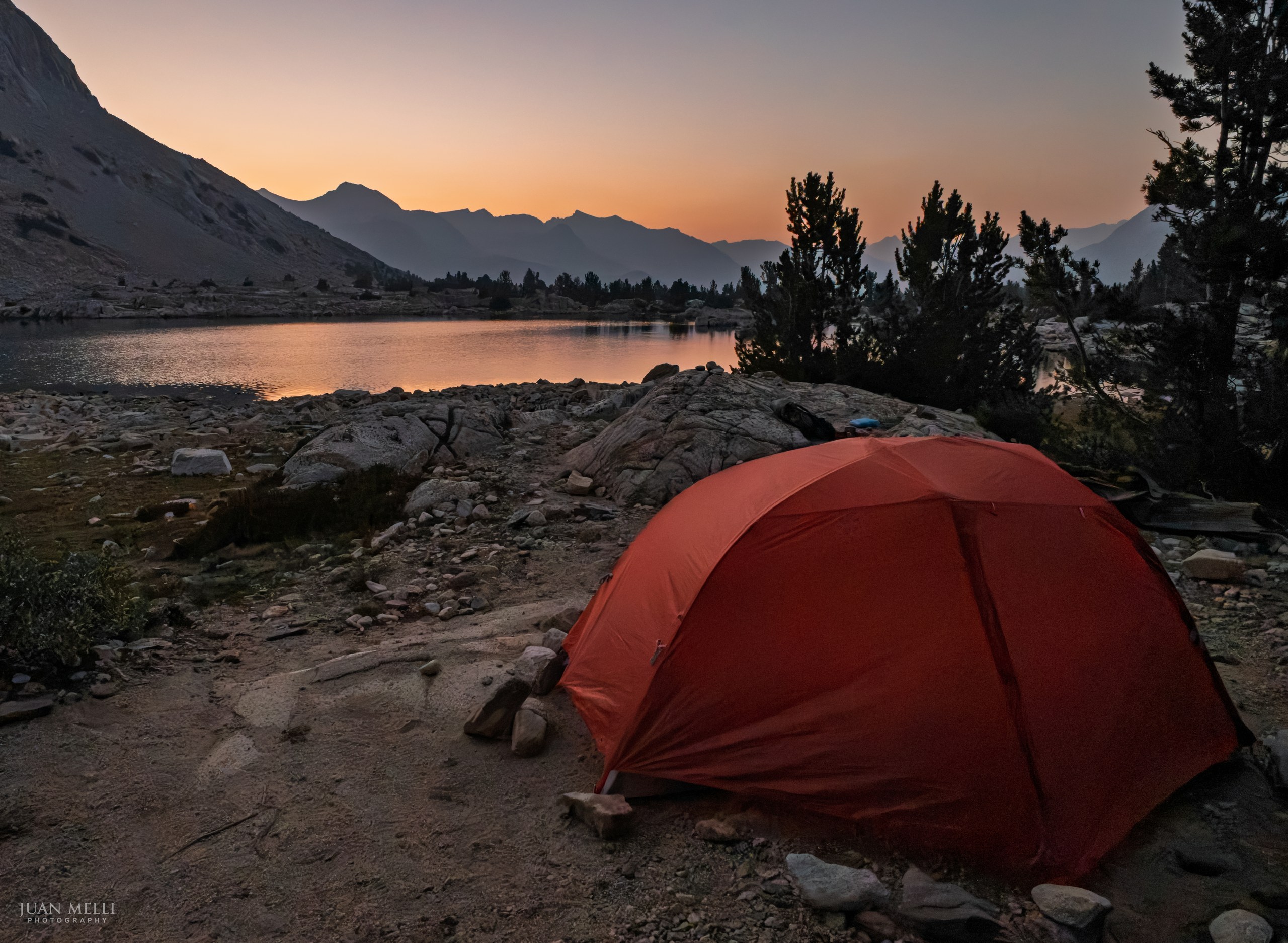

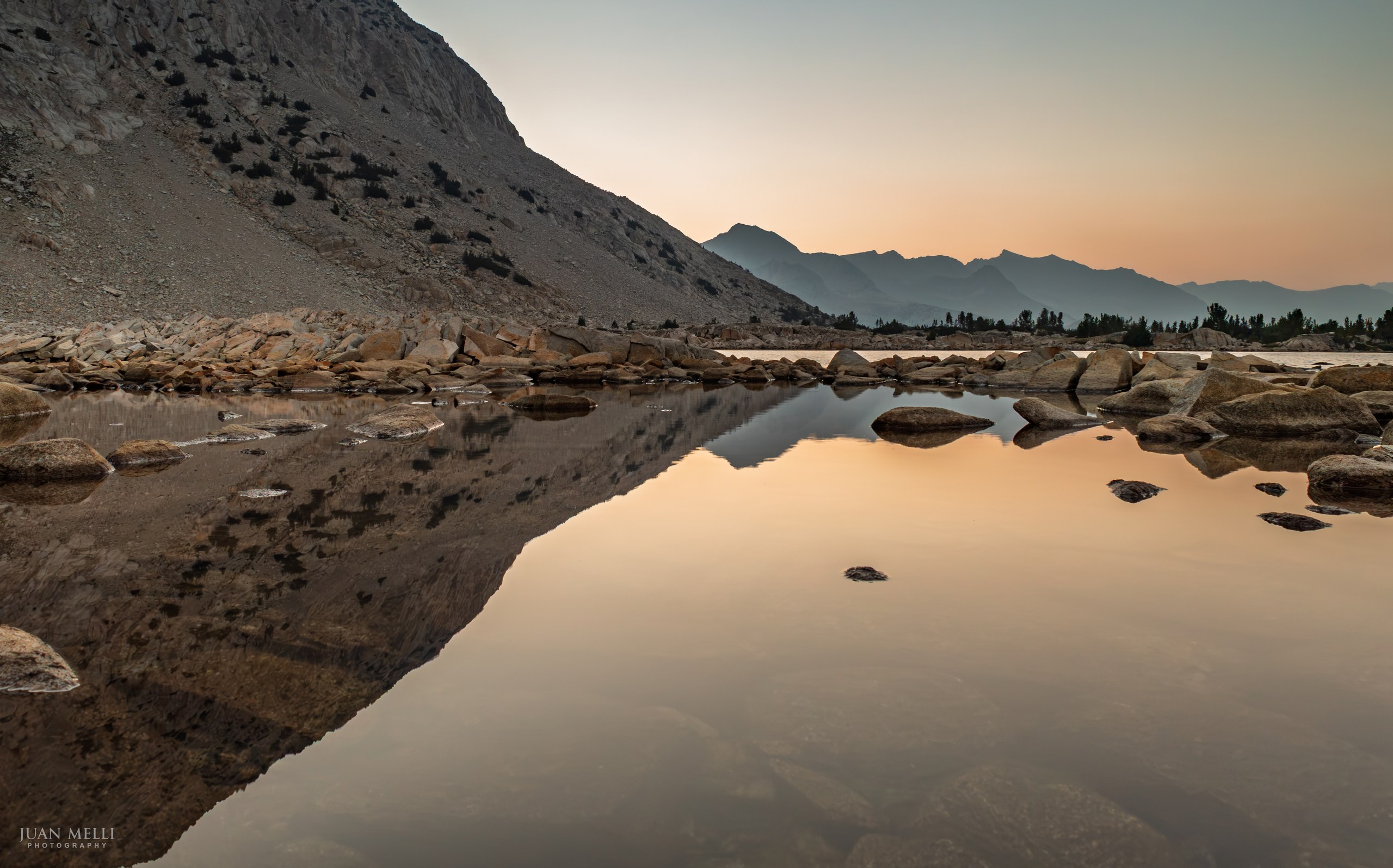

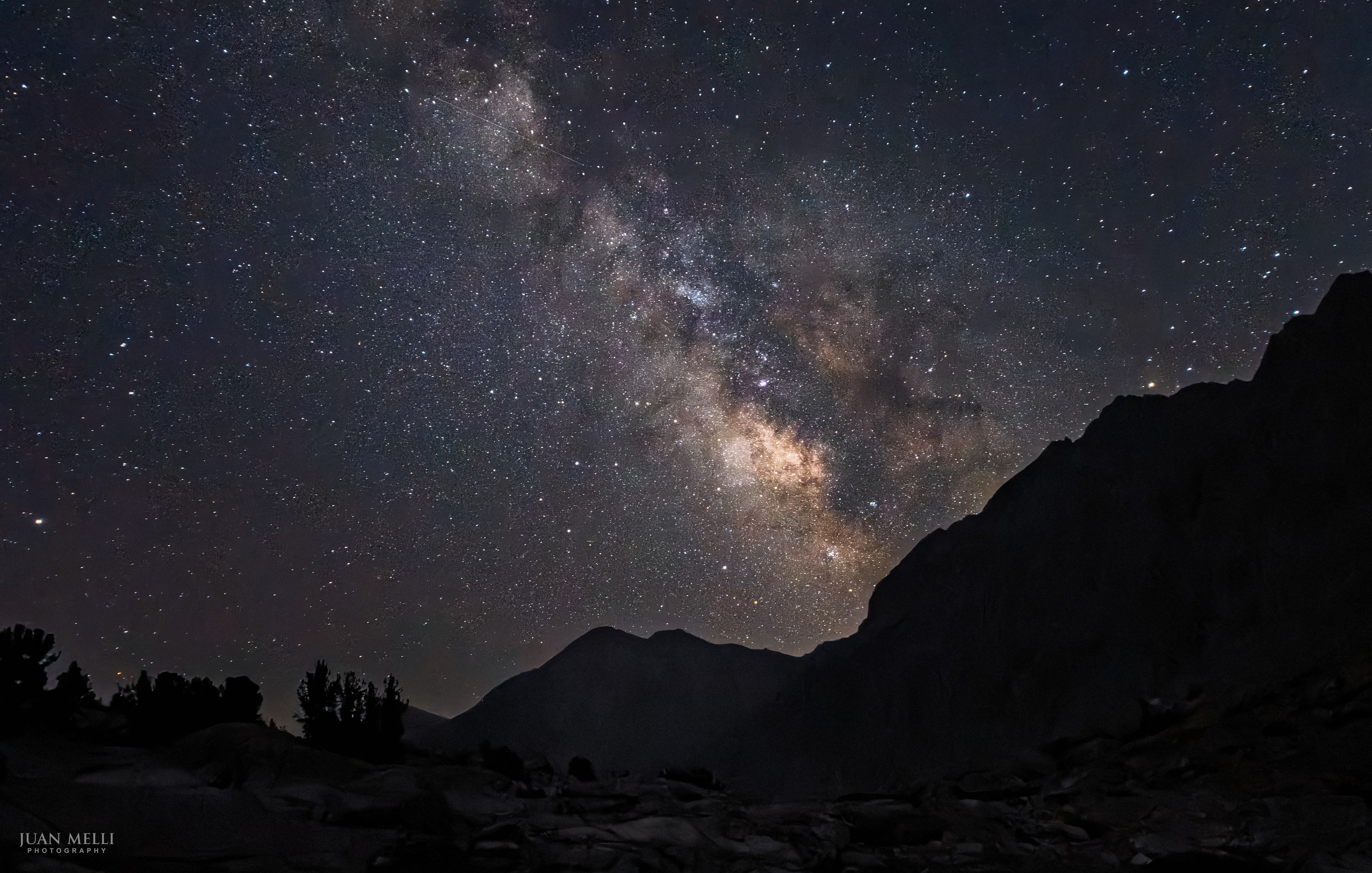
I had planned the trip to take place during the new moon so the nights would be as dark as possible, because I wanted to experiment with night photography. Day 2 fell right after the new moon, and while I was in my tent about to fall asleep, my brother came over around 9 p.m. to tell me to look outside. I stepped out of my tent, and the Milky Way was bright and clearly visible over the mountains. I was so grateful he got me out of the tent. It was completely unexpected. I live across the river from New York City, where you can barely see the stars, so the first time I see the Milky Way each year is always breathtaking.
I pulled out my camera, set it on a tripod, and snapped a few shots at various settings, not sure how they would turn out. It was my first attempt at night photography and also my favorite shot of the trip.

From my journal · Day 2
After a rough first day, we were worried about how today would go. We all enjoyed some whiskey with dinner after washing off in the lake. I jumped in which of course was cold, but not as cold as some other lakes.
Day 3: Near Lake Marjorie to Rae Lakes
We got up around 5 a.m., had a quick breakfast, packed up, and started hiking past Lake Marjorie and towards Pinchot Pass. A marmot kept tabs on us as we hiked past.
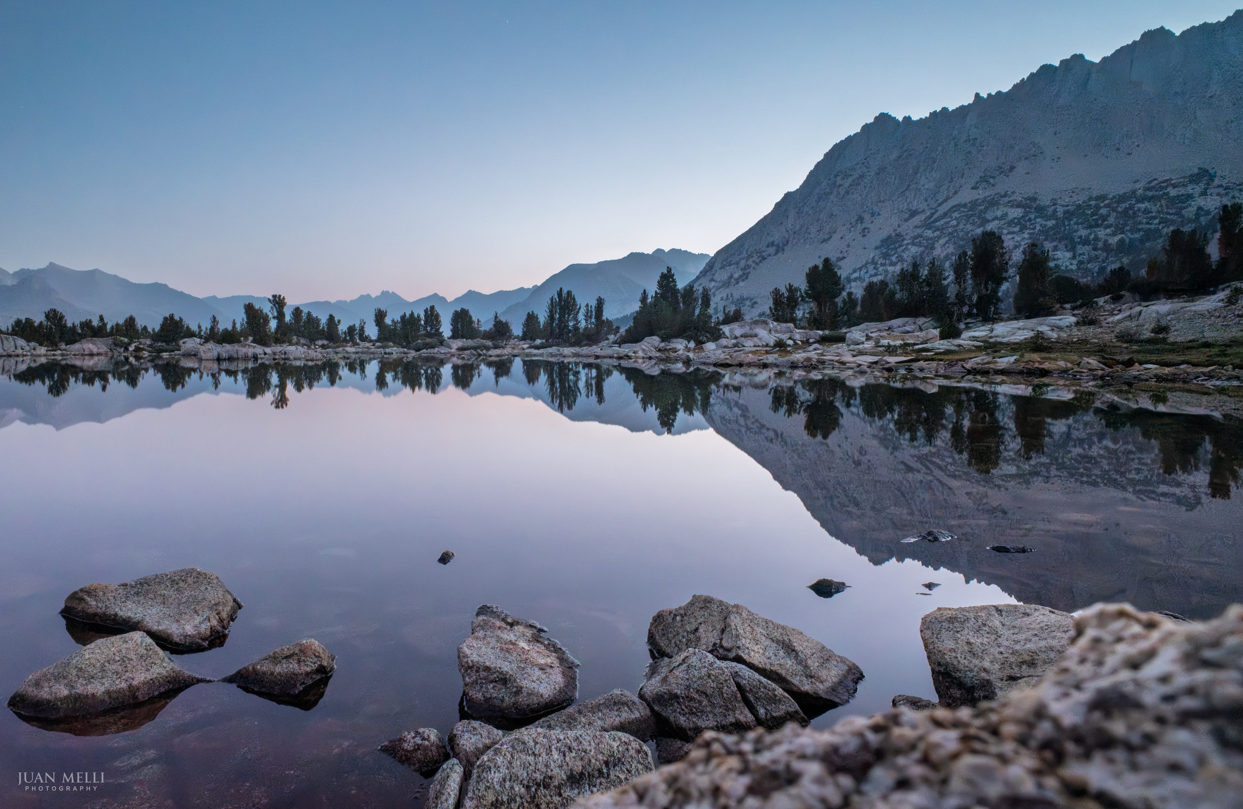

We made it up Pinchot Pass, with incredible views in both directions. On the way down, we passed the beautiful red rocks of Crater Mountain, which does not have a crater.
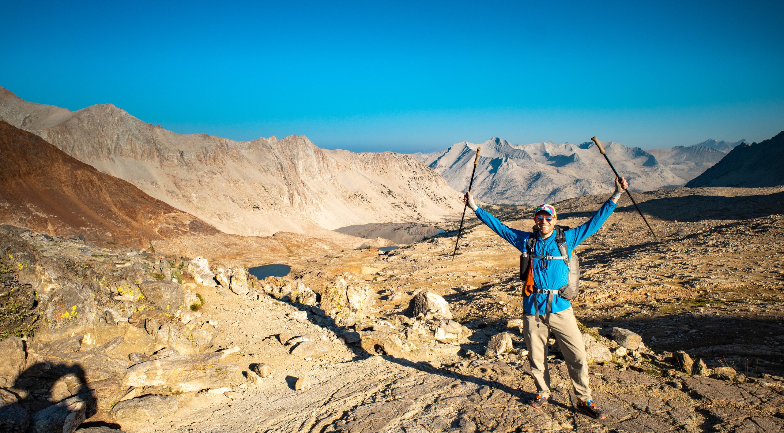
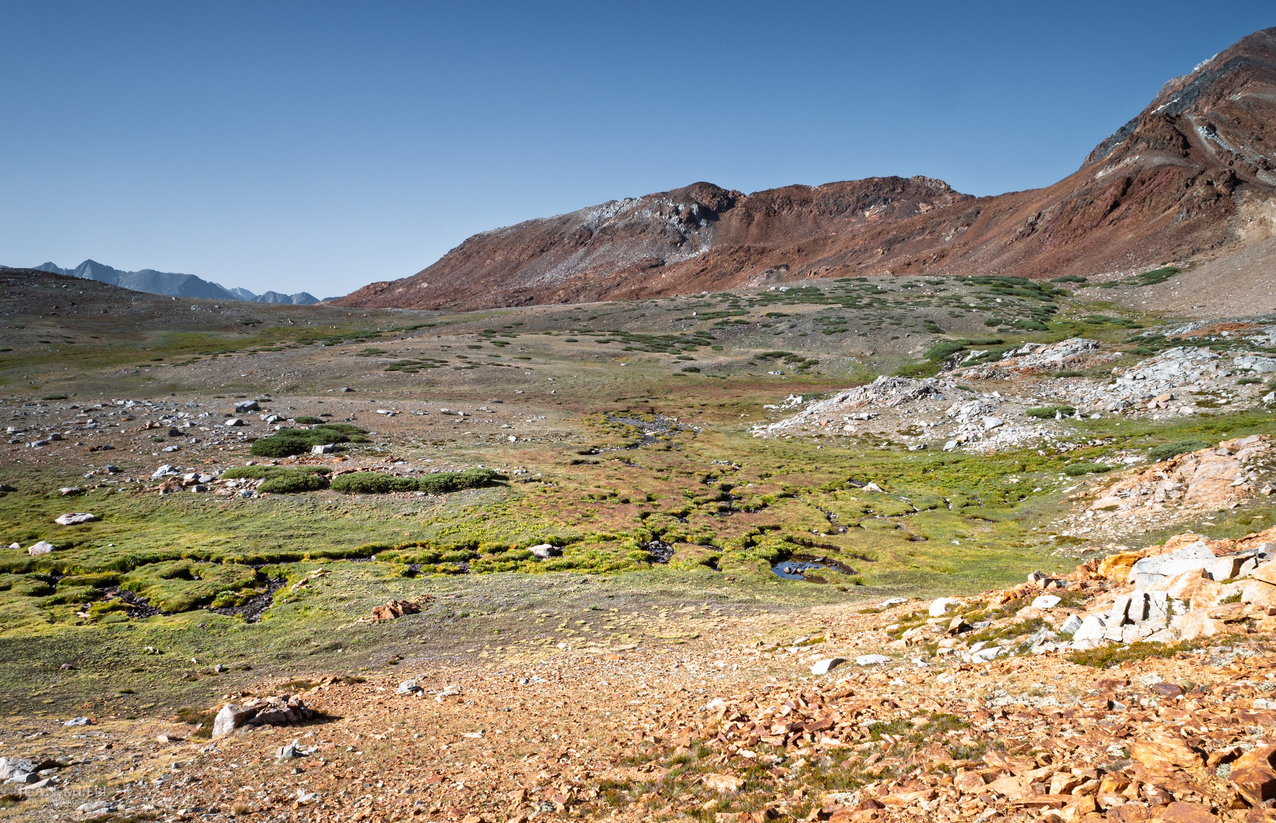
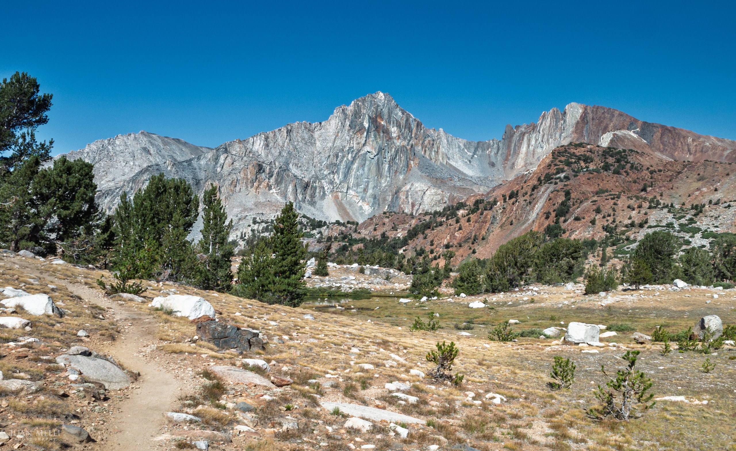

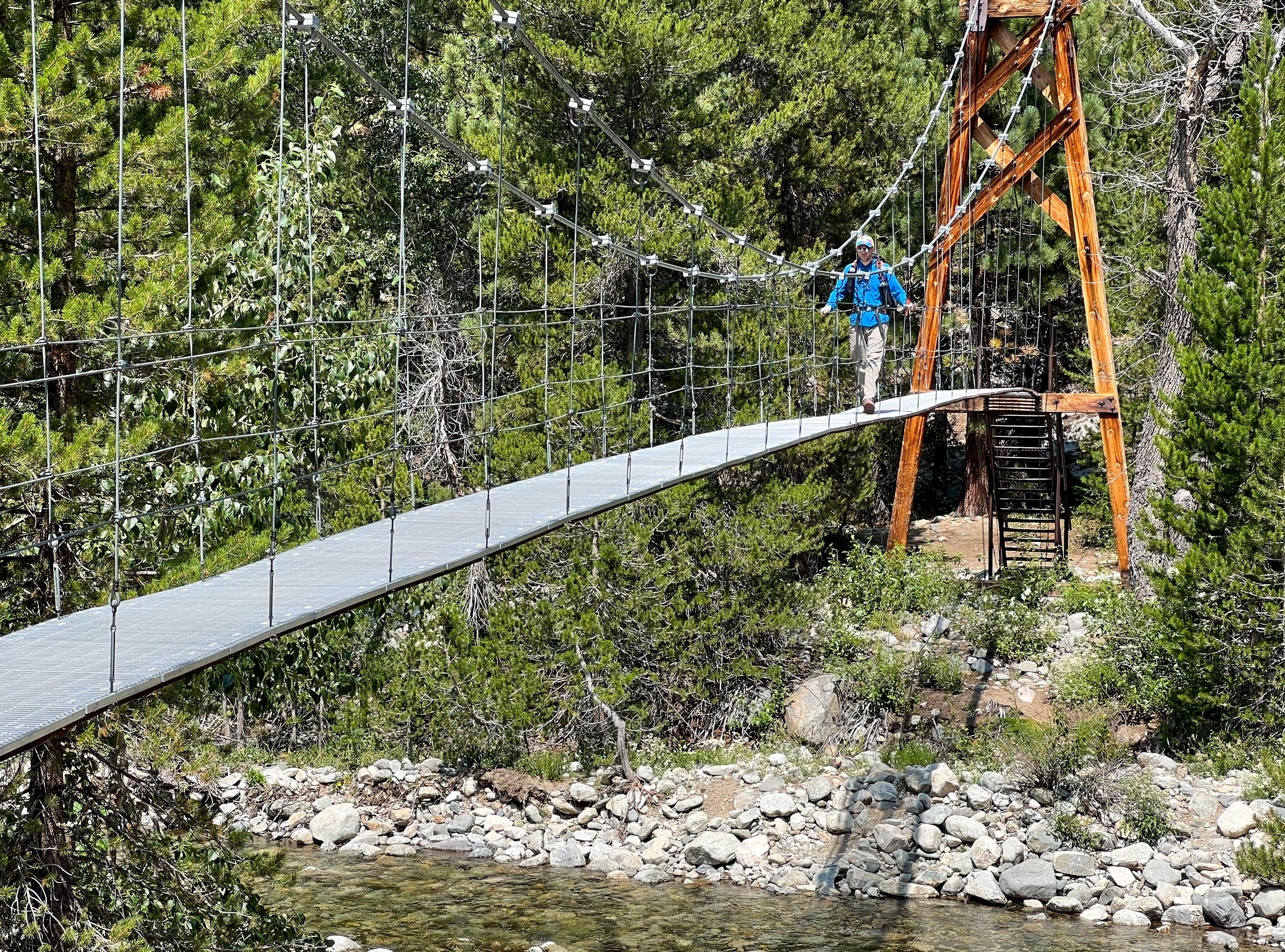
We continued to descend, passing the junction for Sawmill Pass and following Woods Creek until we reached the Woods Creek Suspension Bridge around noon. It was more wobbly than I expected! Our goal was Rae Lakes, which we knew was one of the most popular areas along the JMT. Hoping to snag a nice campsite, I set off without my dad and brother to make some quick miles.
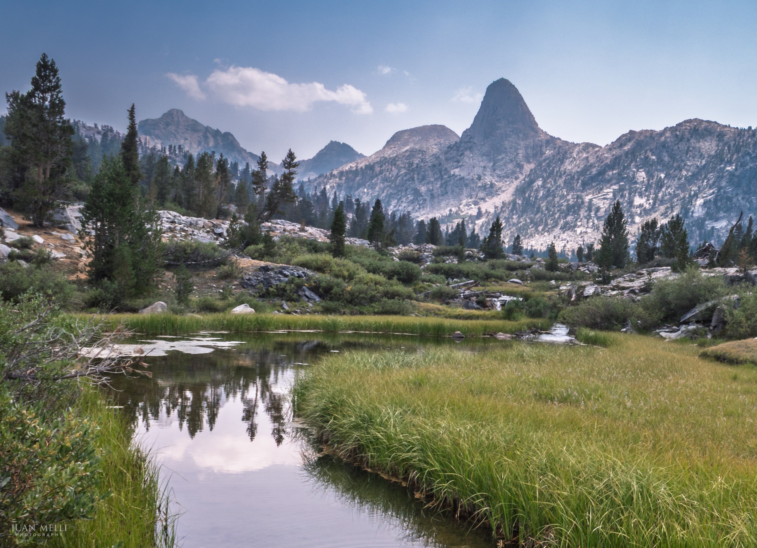
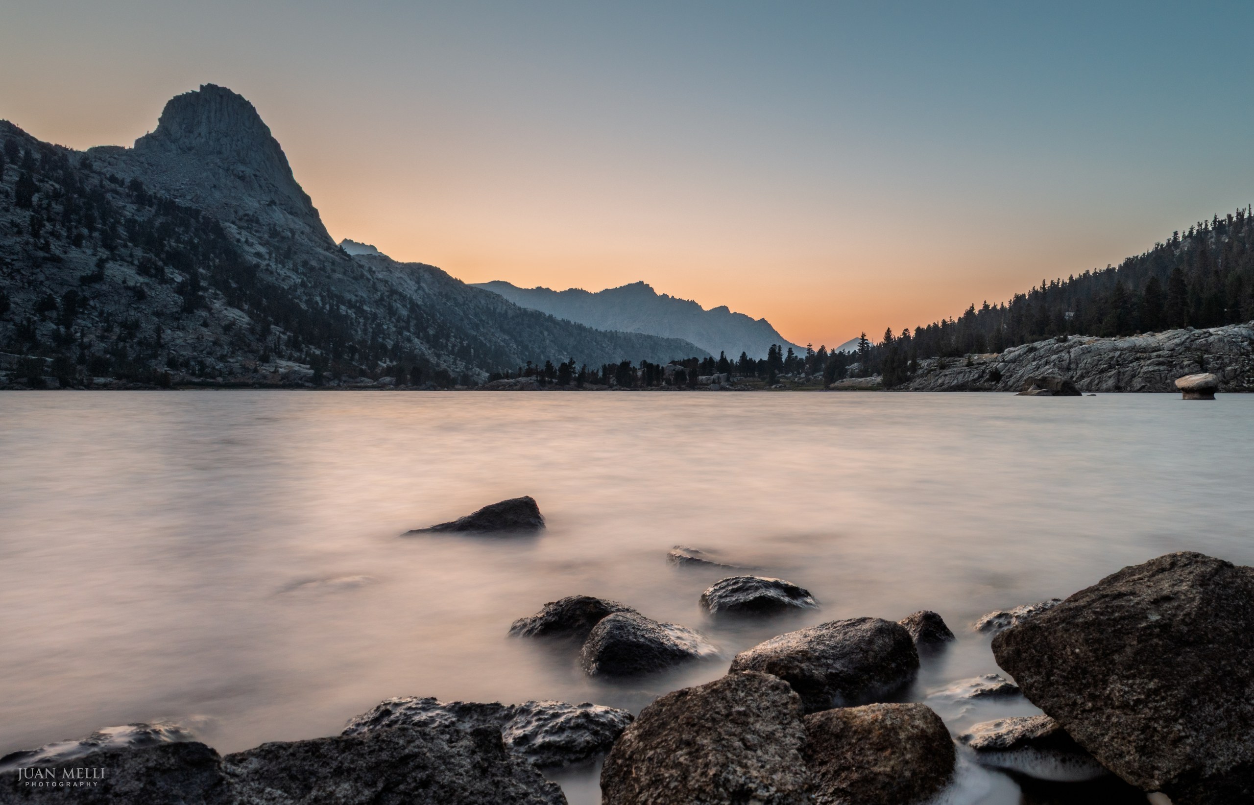
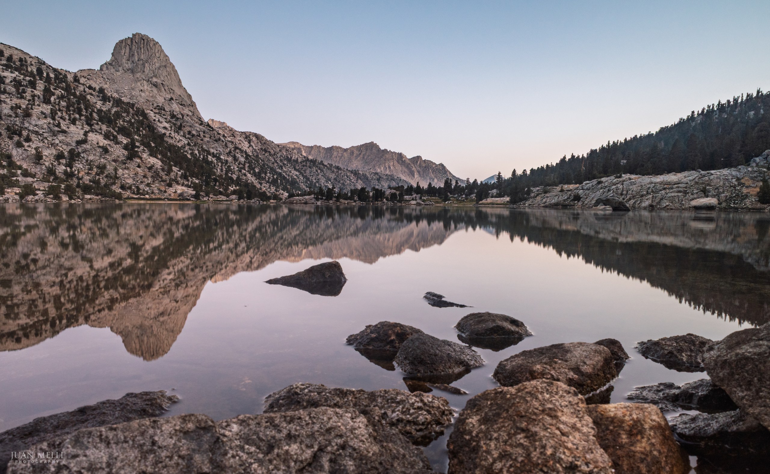
When I reached the Rae Lakes Basin and saw Fin Dome standing out above the meadow, it was immediately obvious why it is such a popular area.

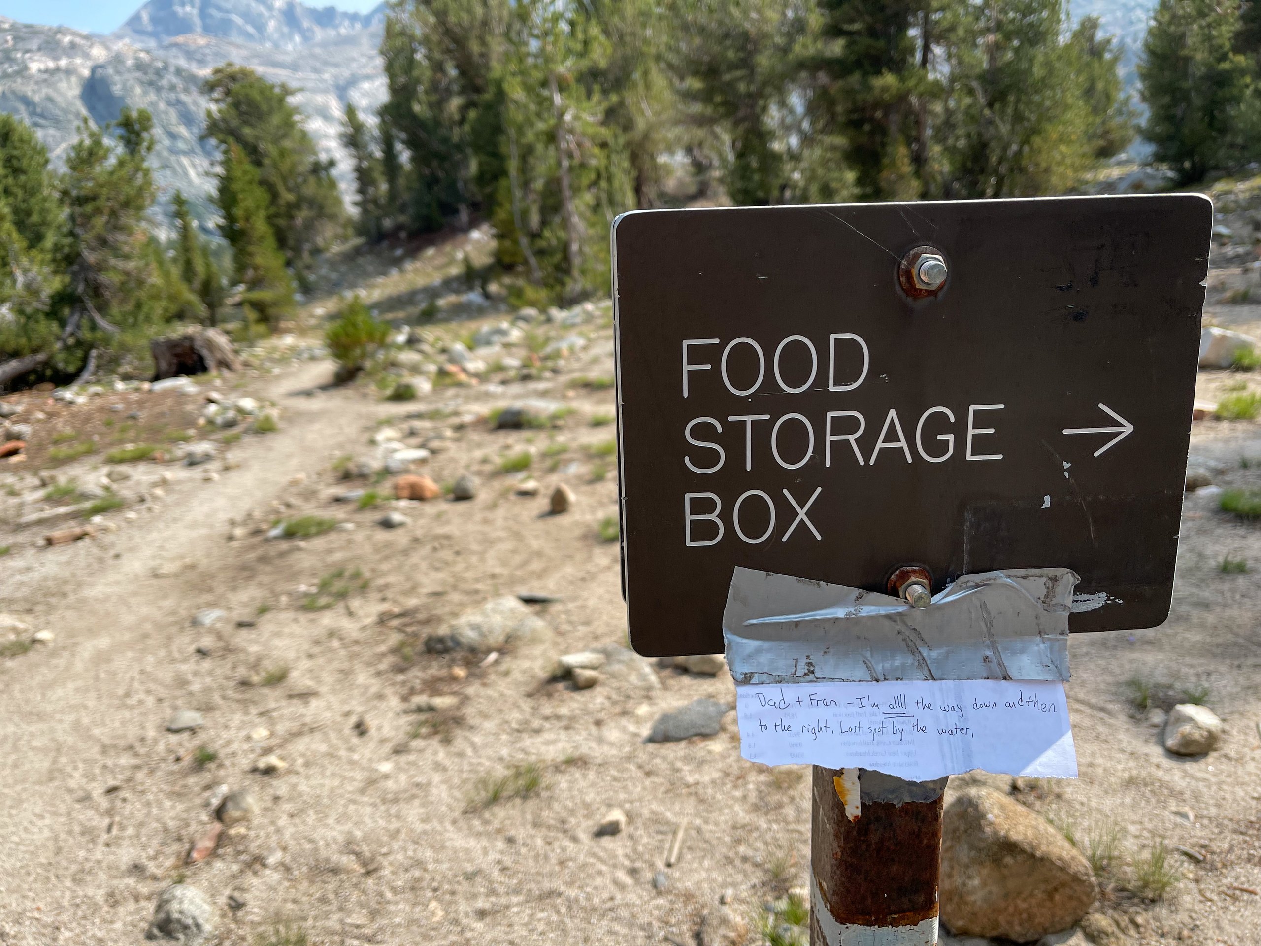
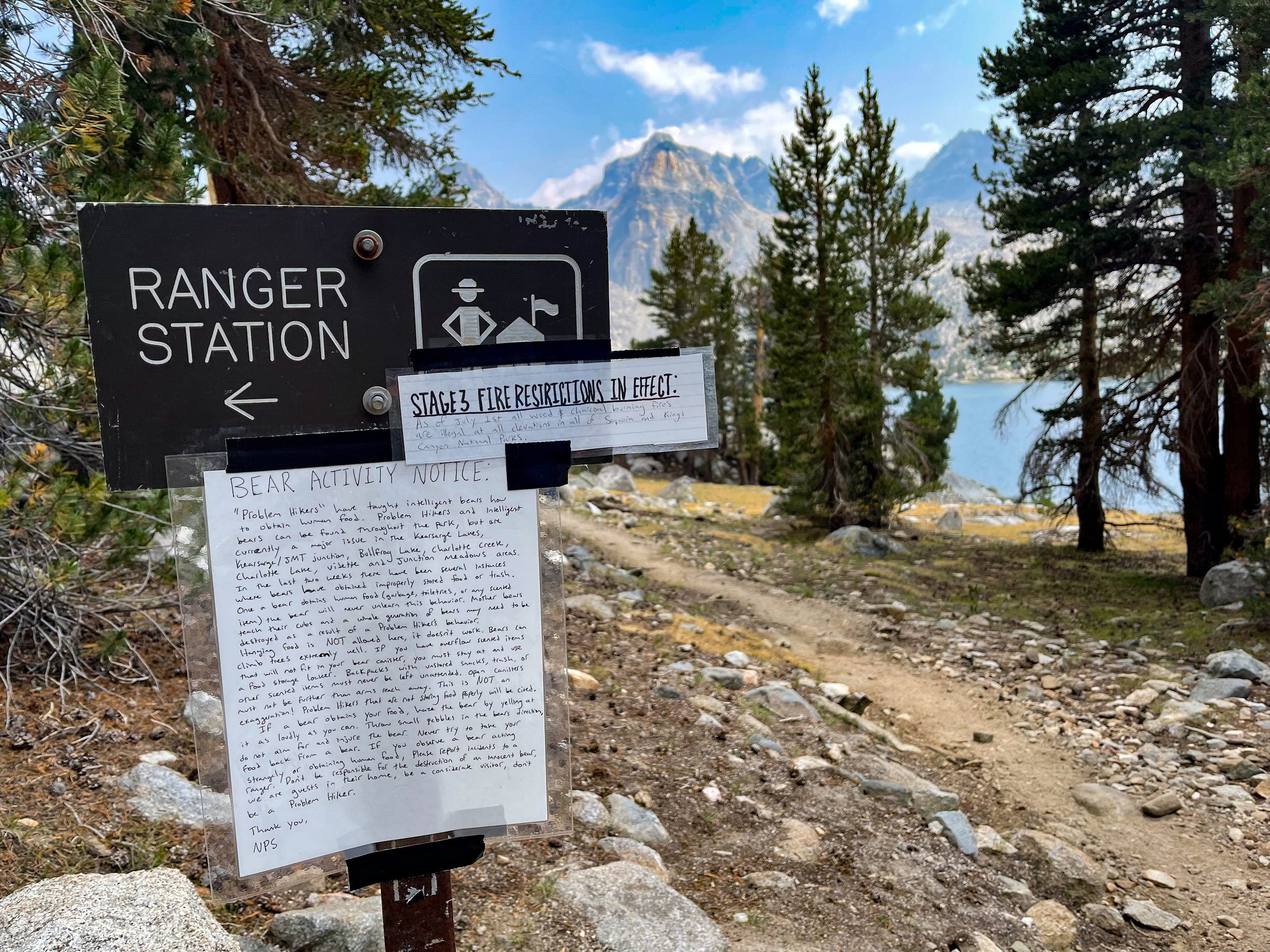
Because of that popularity, bears are drawn to food that hikers store improperly. The Rae Lakes ranger had posted a hand-written Bear Activity Notice warning that "problem hikers" had taught bears to get human food, that a bear that gets human food never unlearns it, and that hanging food doesn't work there. Its last line stuck with me: "We are guests in their home, be a considerate visitor, don't be a Problem Hiker."
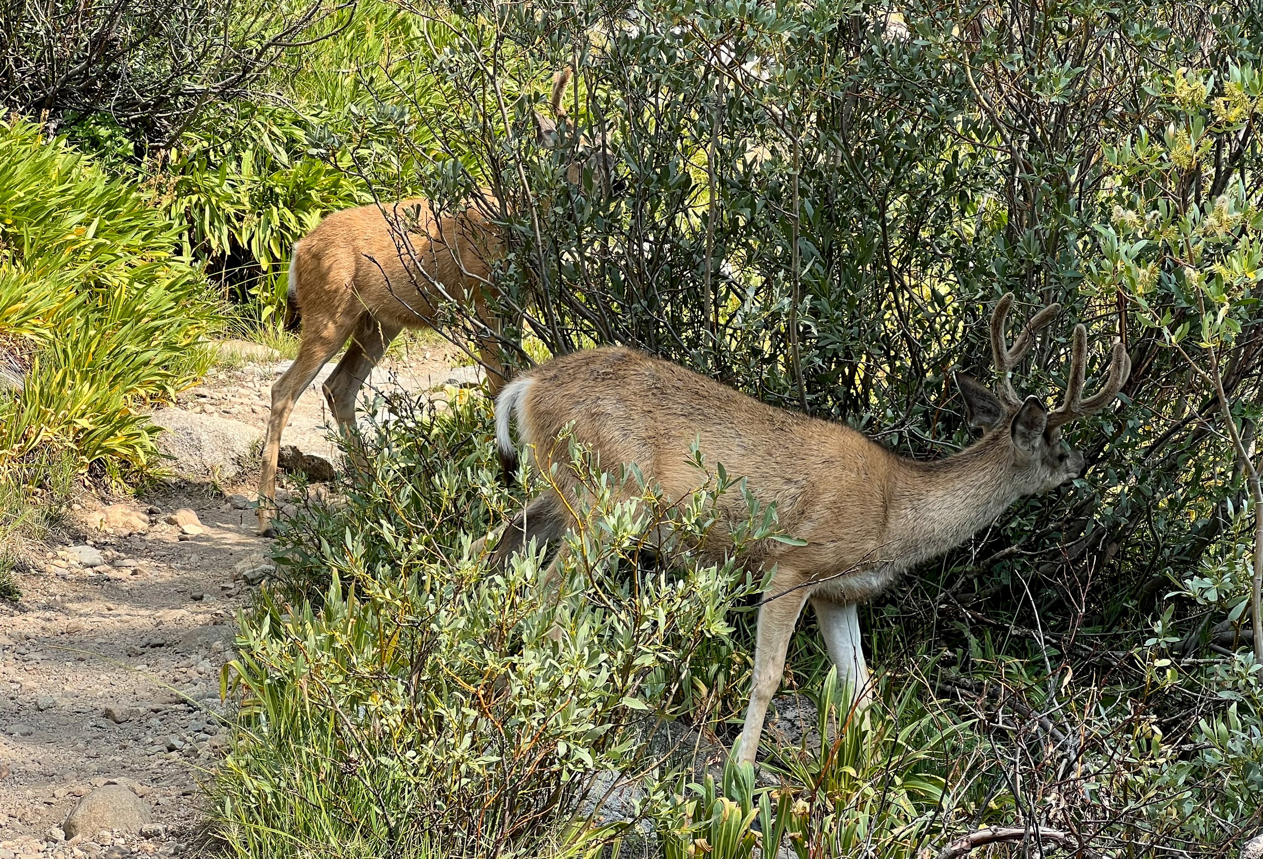
Near the ranger station, my dad and brother came across a group of deer in the middle of the trail that showed no fear and would not move out of the way. I reached a junction with a trail down to Middle Rae Lake around 3 p.m. After finding a campsite, I came back to the junction and posted a note so my brother and dad could find me. (They never saw the note.)
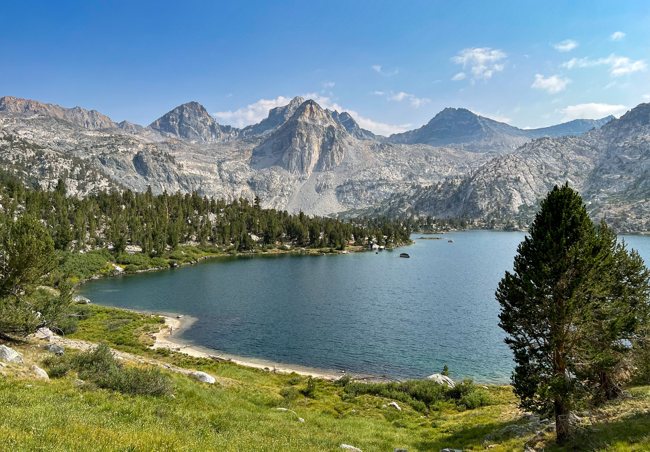
There were probably dozens of campsites throughout the area, and I found a great one along the shore of Middle Rae Lake with a view of Fin Dome.

From my journal · Day 3
Welp. We thought today would be relatively easy. We had only about 3,500′ to climb, less than the first two days. We were wrong. It was hard.
The next 4 days are shorter mileage and should be easier. We'll see…
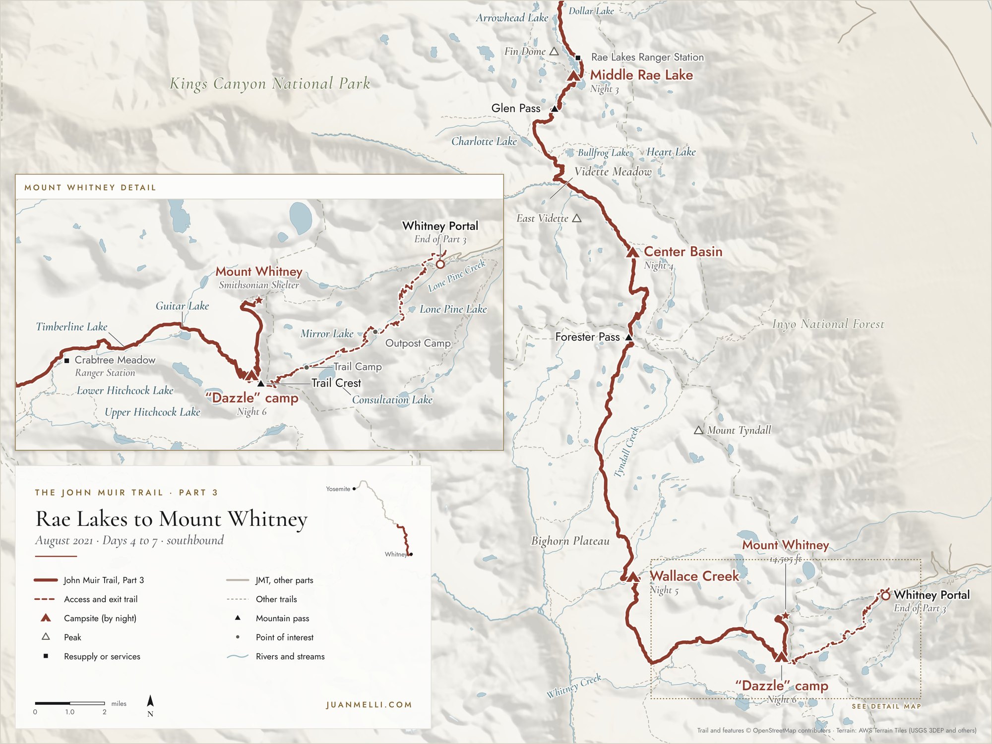
Day 4: Rae Lakes to Center Basin

We started the day around 6:30 a.m. with a steady climb towards Glen Pass. Along the way we saw a pika with a meal in its mouth. Then we began the climb up Glen Pass itself. It was tough.
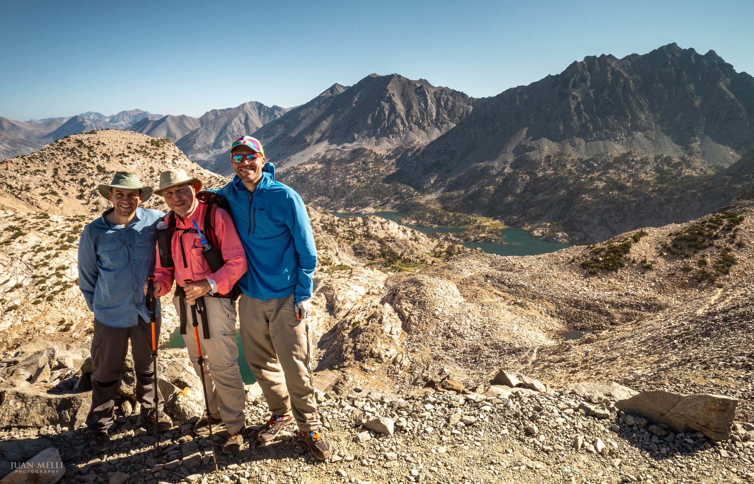
From Glen Pass, the trail descends on switchbacks towards a lake, then makes a long descent past Charlotte Lake and towards Vidette Meadow. On the long descent from Glen Pass, Dad fell and nearly tumbled over the edge of the trail. I had taken a wilderness first aid course, so I started going through the assessment process. That was hard to pull off, because my patient insisted he was fine and just wanted to clean up and keep going. Fortunately, he only had some small cuts on his finger and a scratch on his elbow. We passed Vidette Meadow and began a steady climb towards our destination for the day, Center Basin.

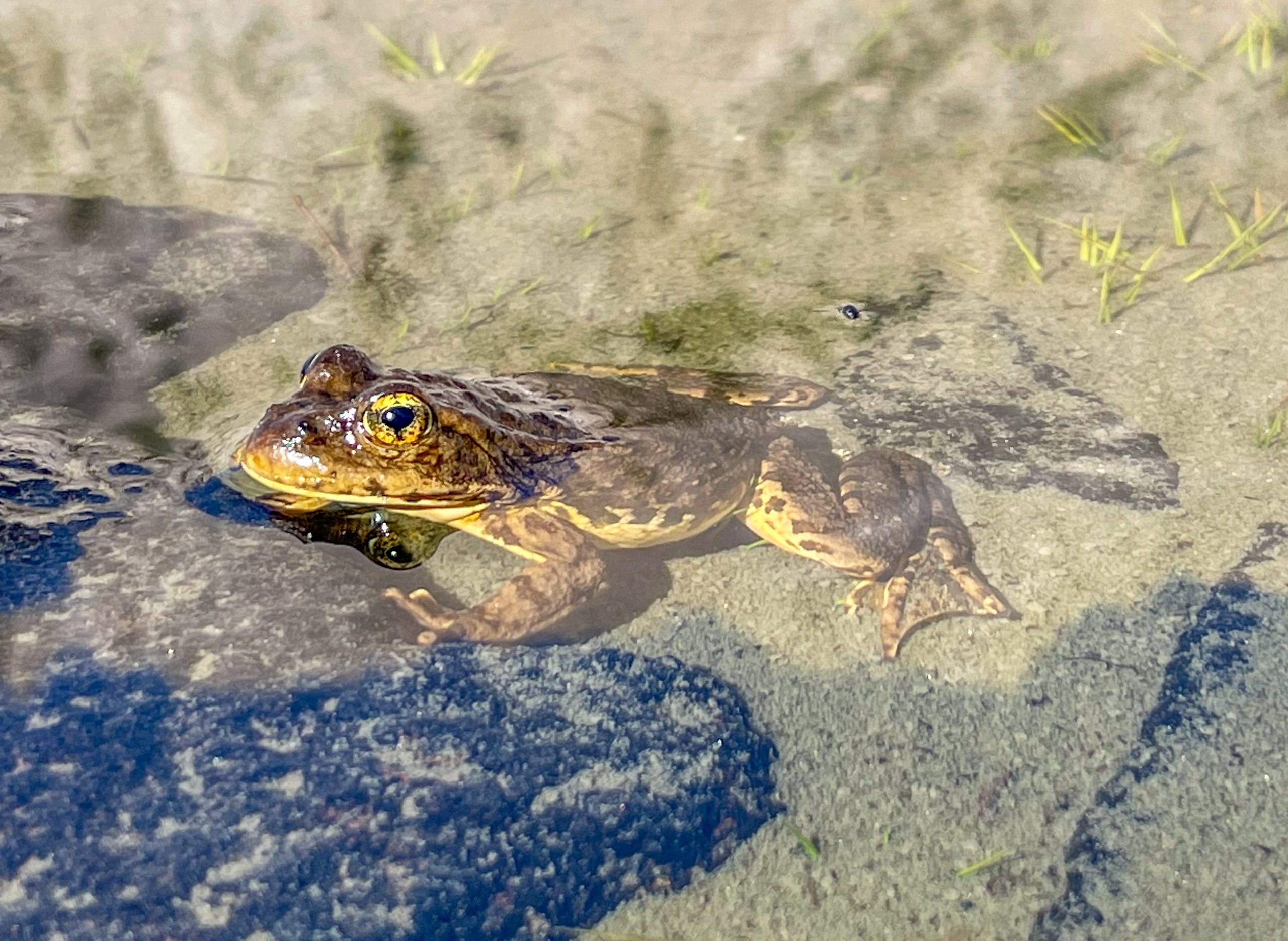
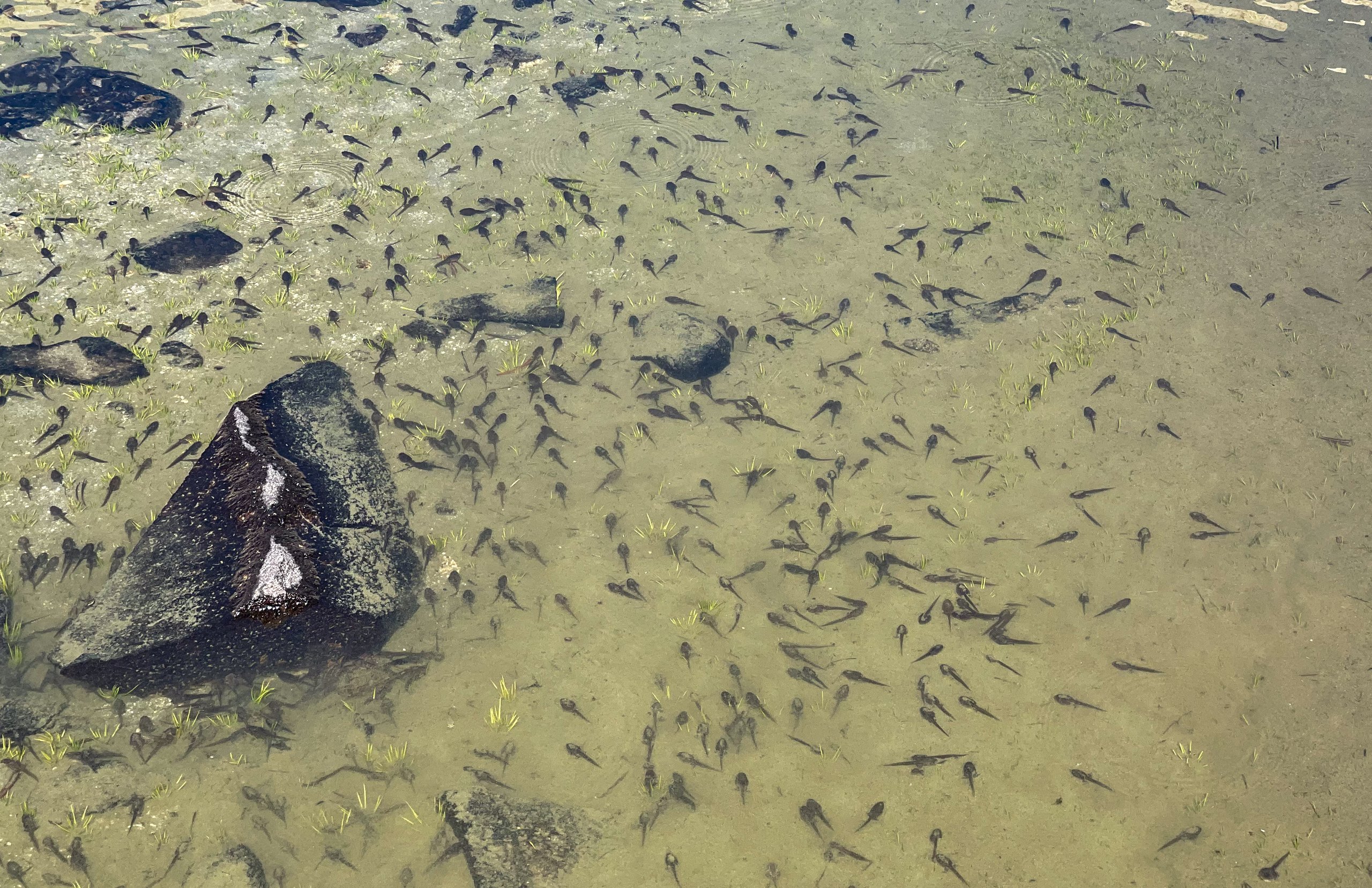
Near our campsite was a small, muddy pond that was absolutely full of tadpoles and frogs at every stage of development. After the trip, when I posted the frog to iNaturalist, a biologist with the California Natural Diversity Database identified it as a southern mountain yellow-legged frog (Rana muscosa), an endangered species. Center Basin sits right about where scientists now draw the line between it and its close relative, the Sierra Nevada yellow-legged frog. The two were considered the same species until genetic research split them. Years later, the California Department of Fish and Wildlife reached out to add my sighting to its database of special-status species.
We washed our clothes in that pond. We didn't carry or use any soap or detergent, but if I had known the frogs were endangered, I would not have washed anything there.
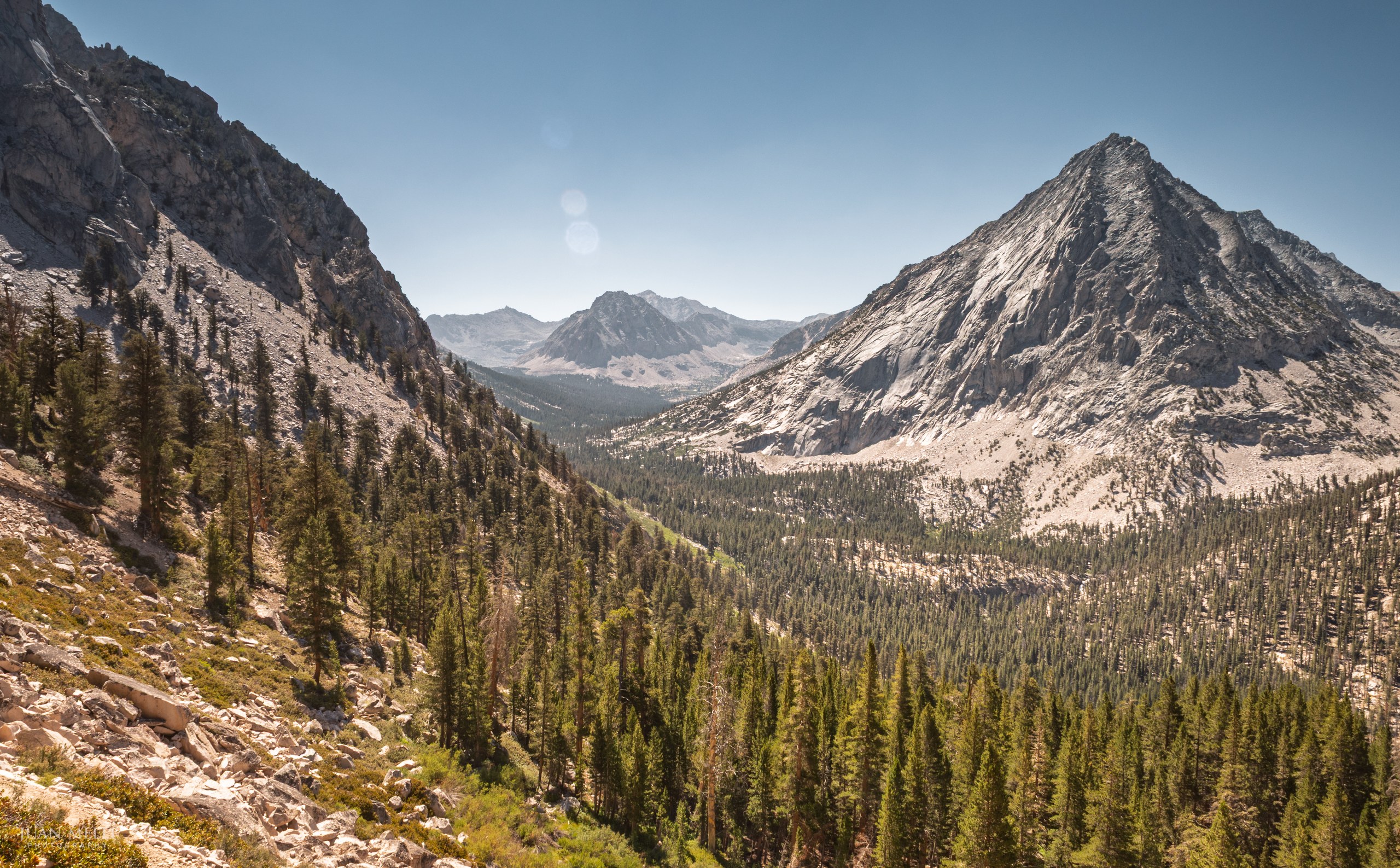
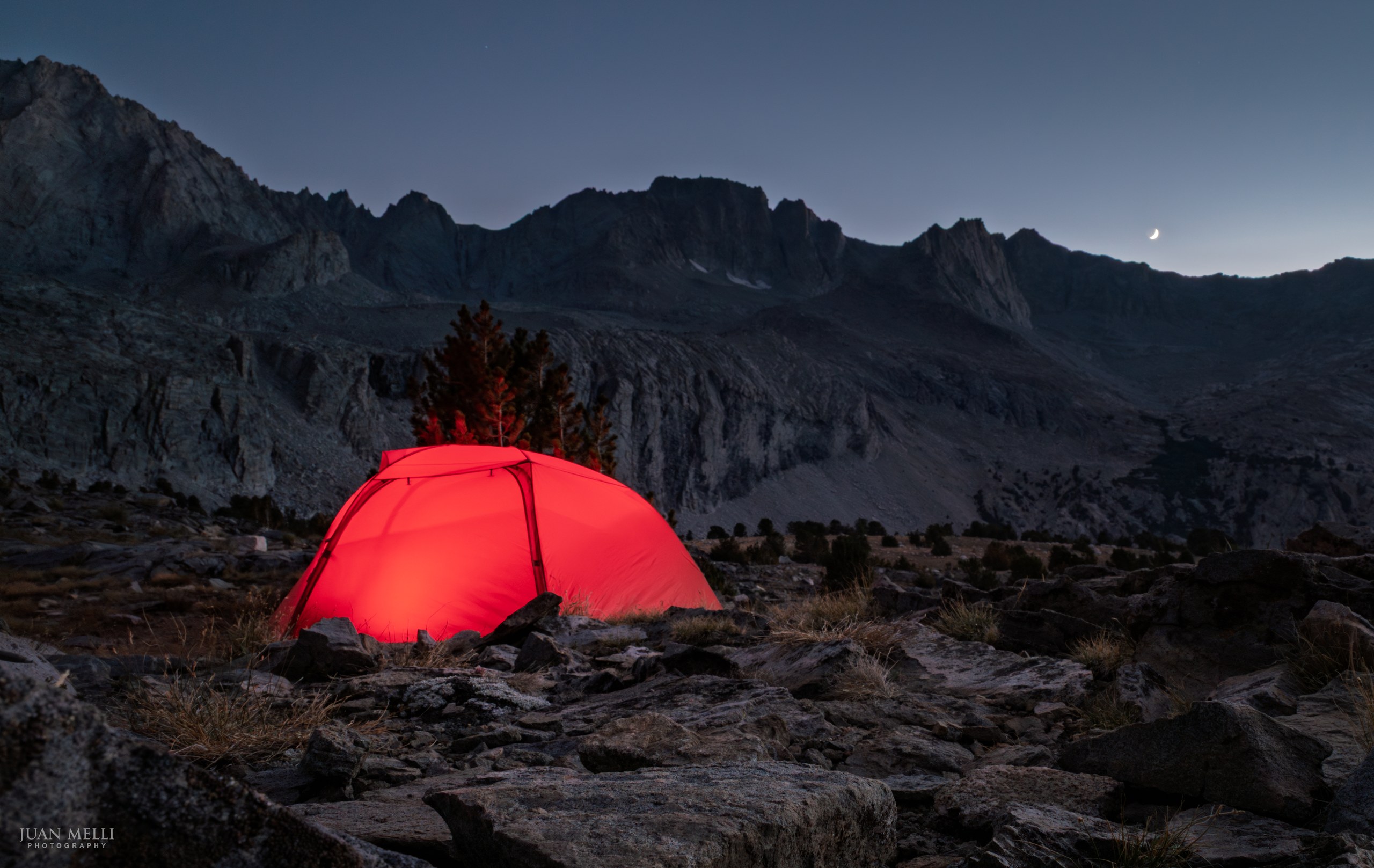
Our campsites were two sandy spots among rocky slabs, exposed on a dusty, windy ridge with no shade, but with wonderful views of the canyon.

From my journal · Day 4
Today wasn't easy, but it was probably the easiest day so far. I went ahead and gave dad and Fran bad directions so they didn't find me. I had to retrace my steps a bit and eventually found them.
Day 5: Center Basin to Wallace Creek
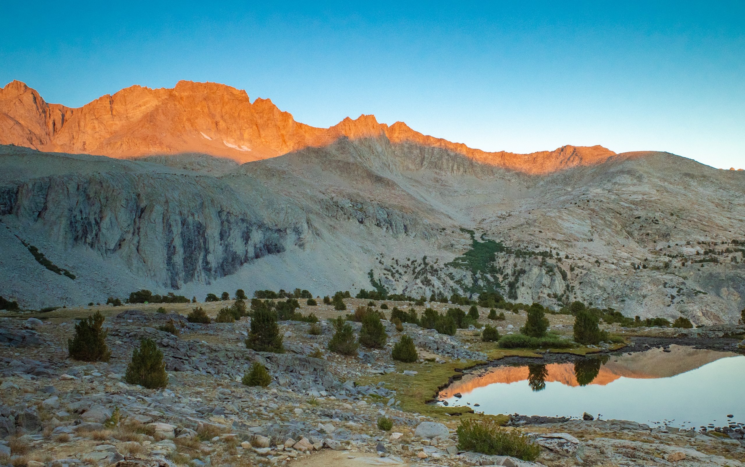
We woke up and got an early start. The alpenglow lit up the mountain tops all around us.
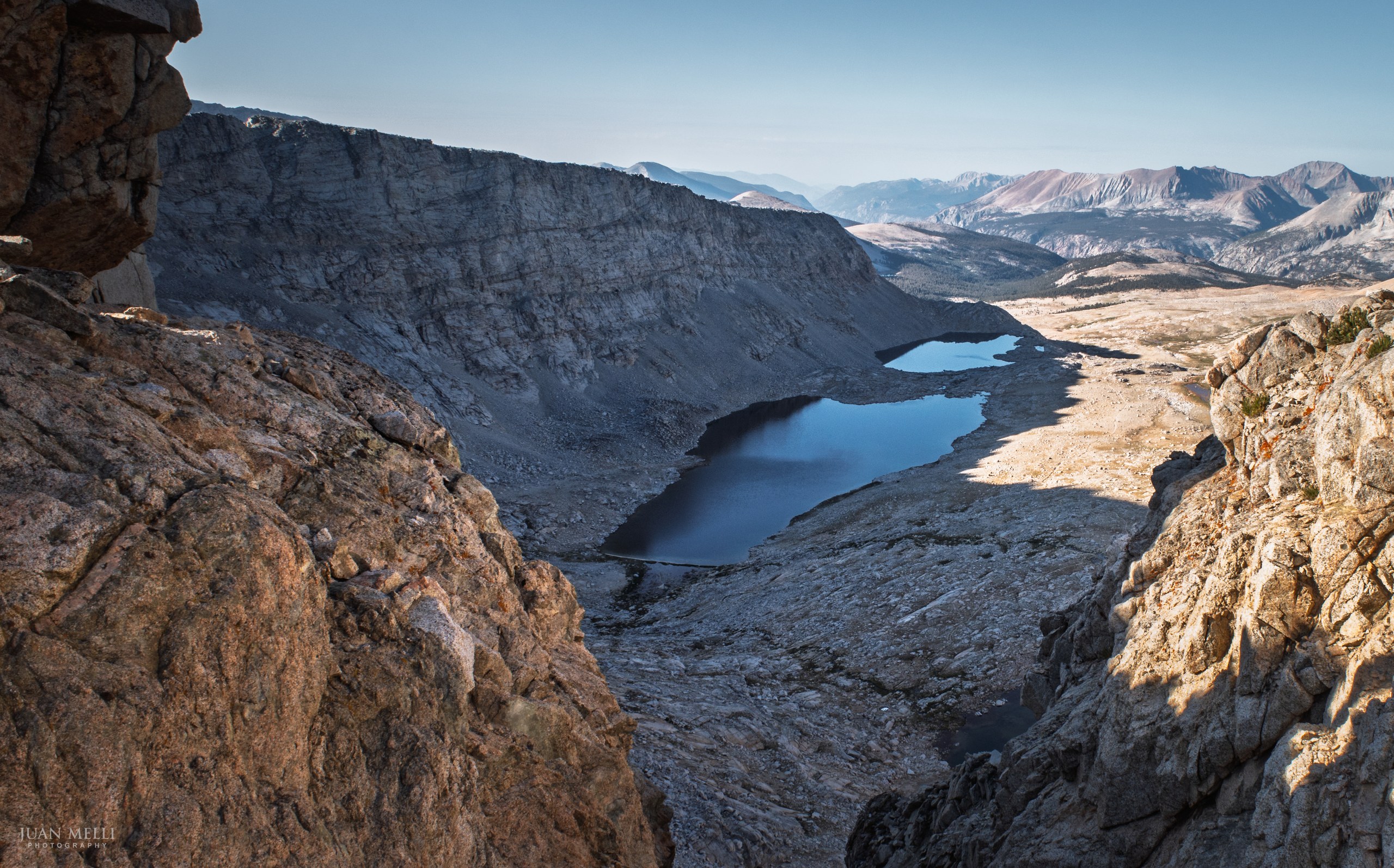
We began the climb up Forester Pass, a really nicely graded climb from the north side. Finally we reached Forester Pass at 13,200 feet, the dividing point between Kings Canyon National Park and Sequoia National Park.
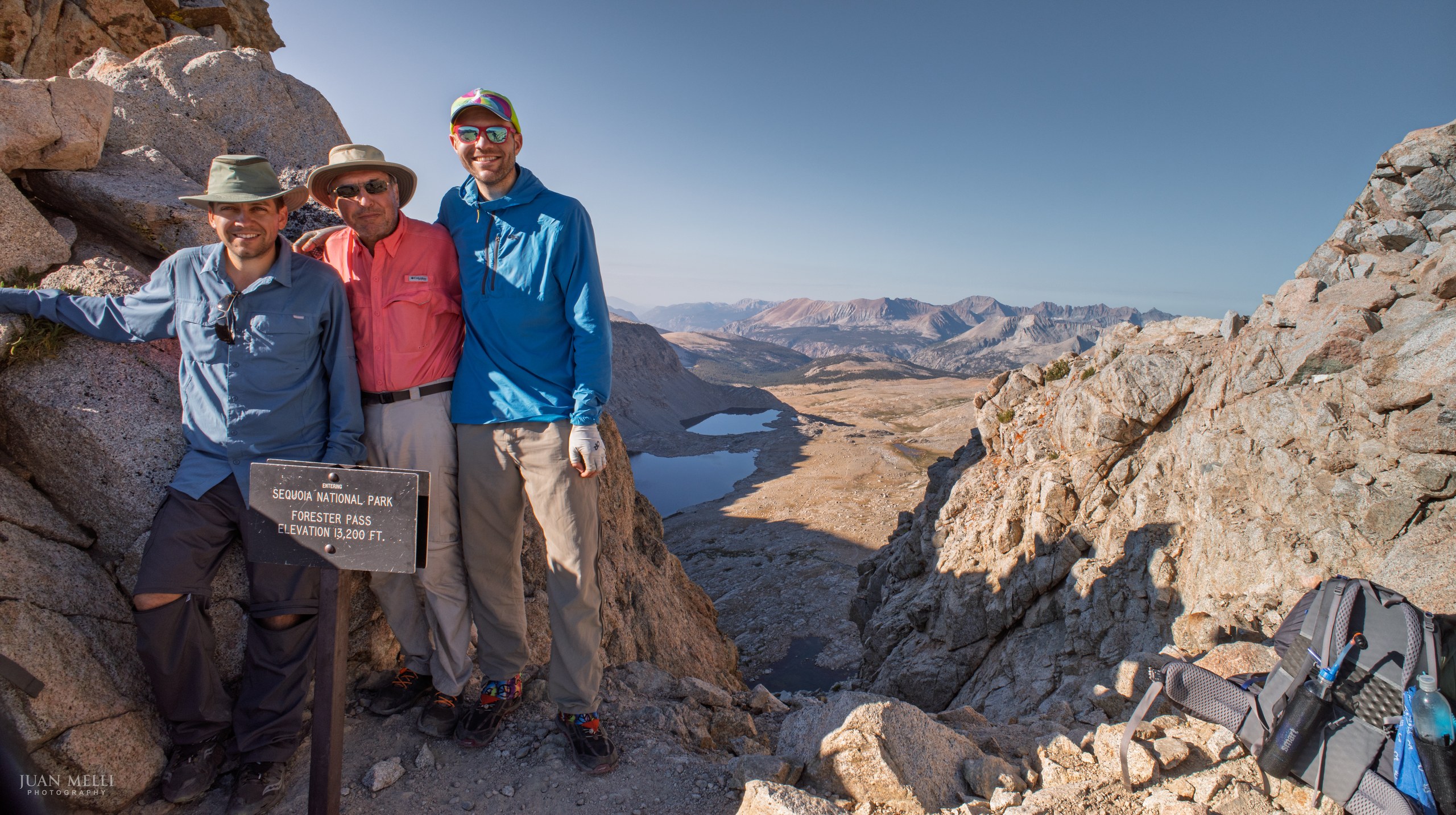
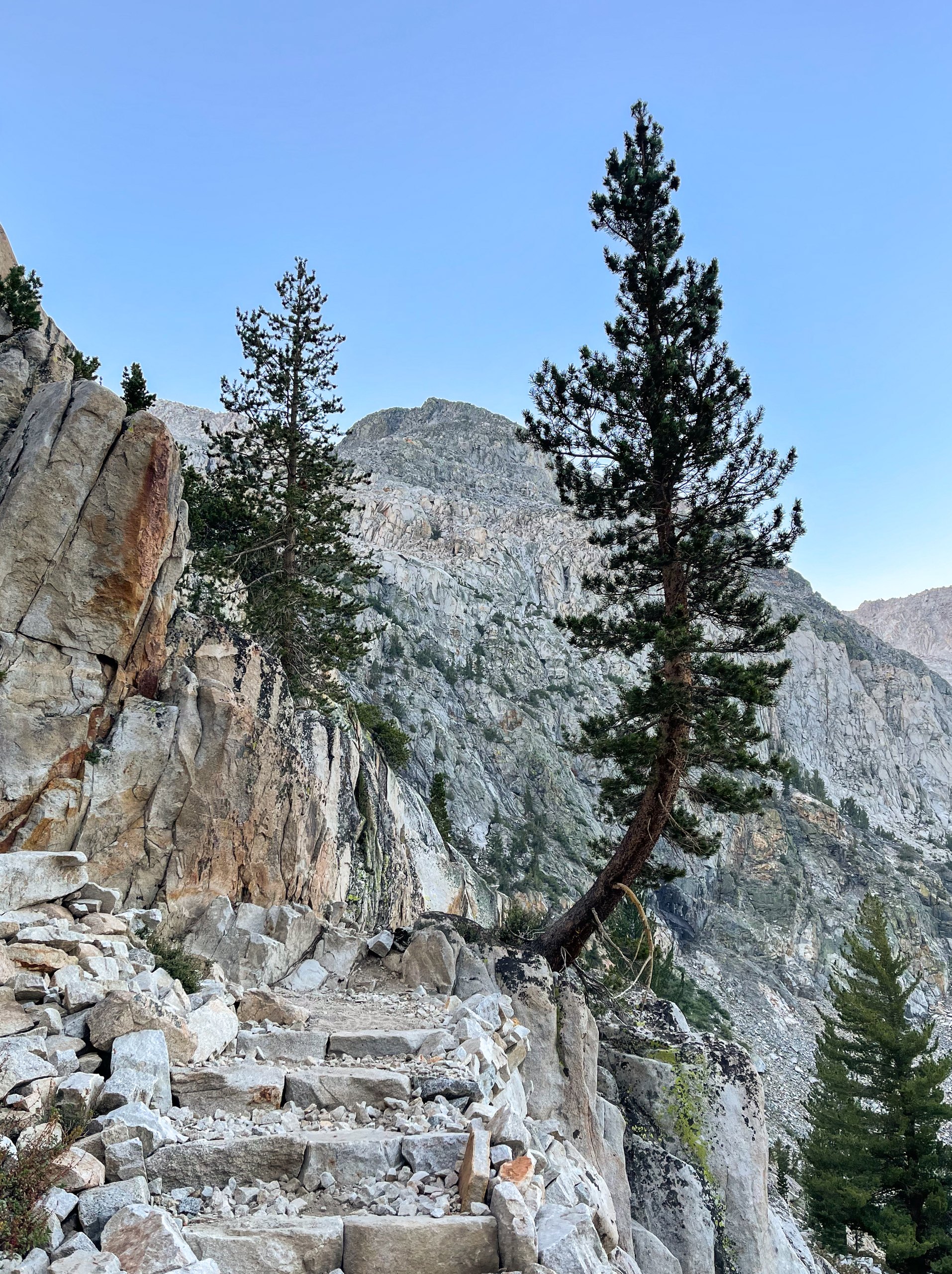
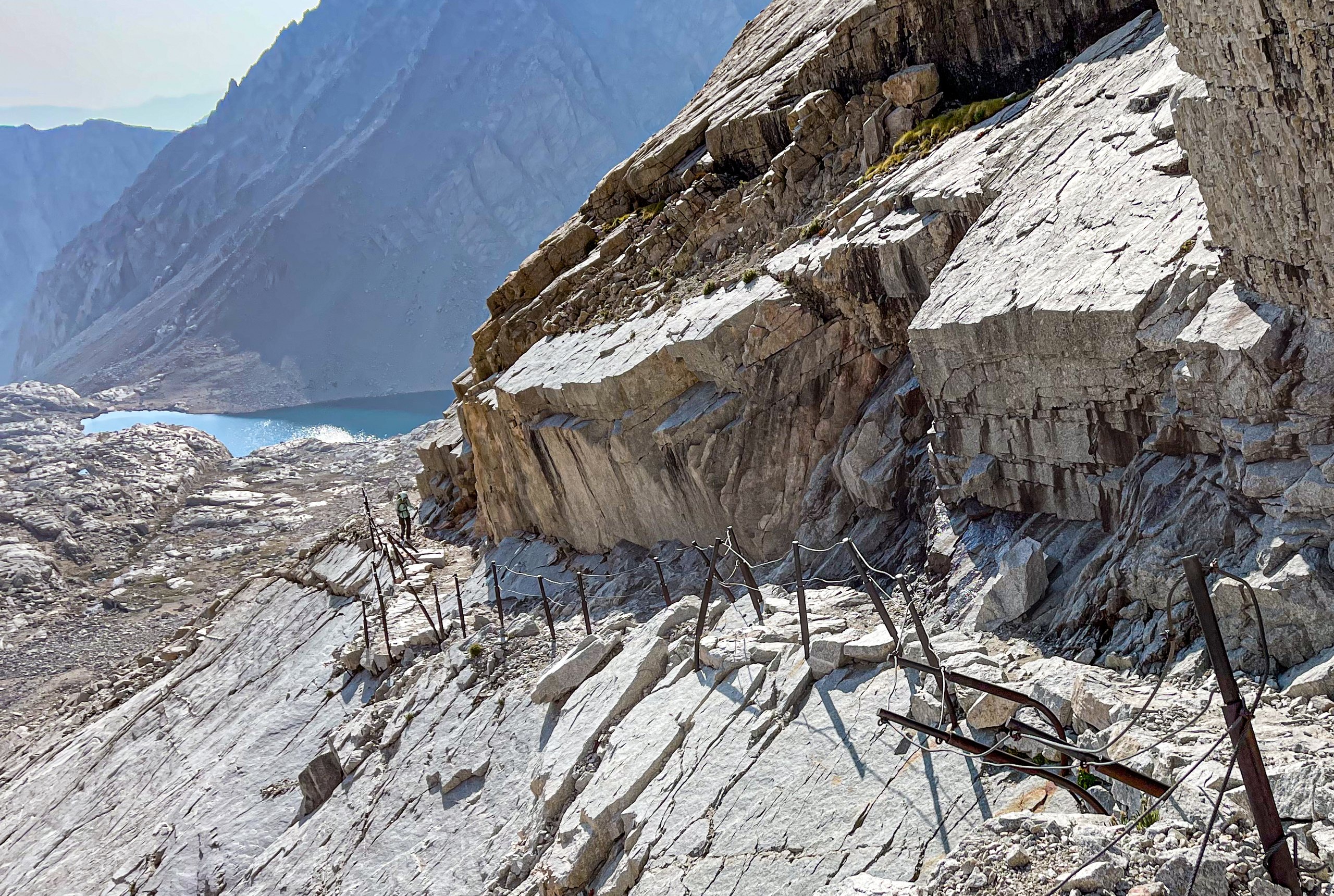
The descent of Forester was much more difficult than the ascent, with large steps that were a challenge for the knees. We passed the memorial to Donald Downs, a worker killed during the construction of this amazing trail chiseled into the steep mountainside. After Forester Pass, the trail continued to descend towards Tyndall Creek.
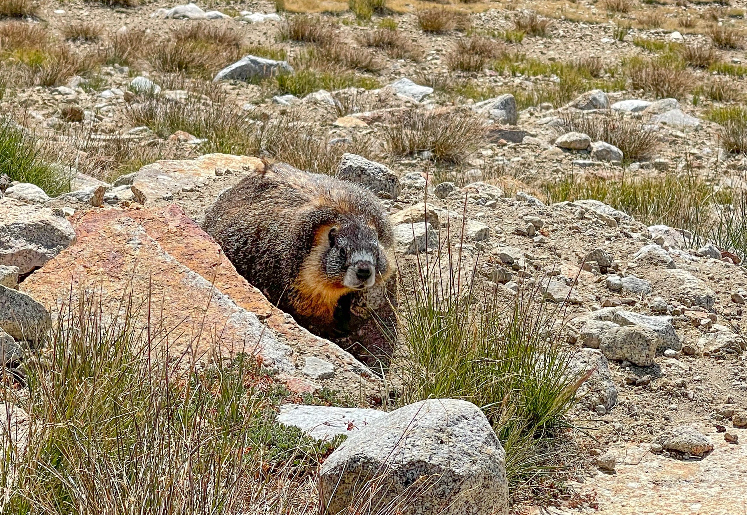
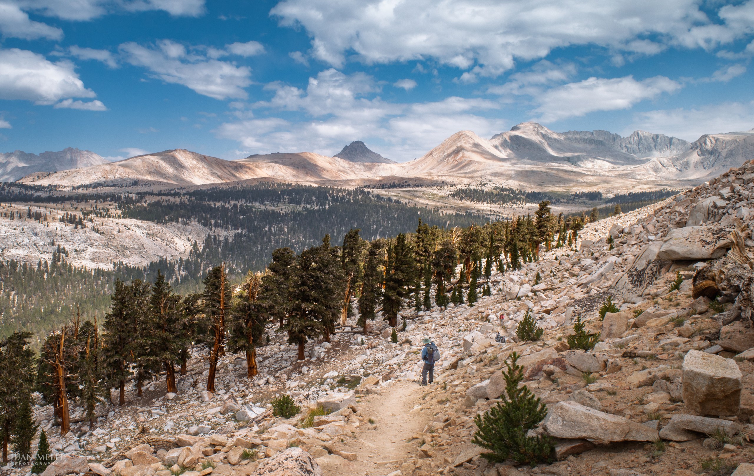

The trail then reaches Bighorn Plateau. I assumed the name was ironic, picturing bighorn sheep clinging to cliffs, but open alpine ground like this is exactly where Sierra bighorn spend the summer. They favor open terrain so they can see a predator coming, and use steep rock to bed down at night. Clouds rolled in at this point, and we worried we would get stuck in a storm, but we stopped for lunch here, and fortunately it did not rain.
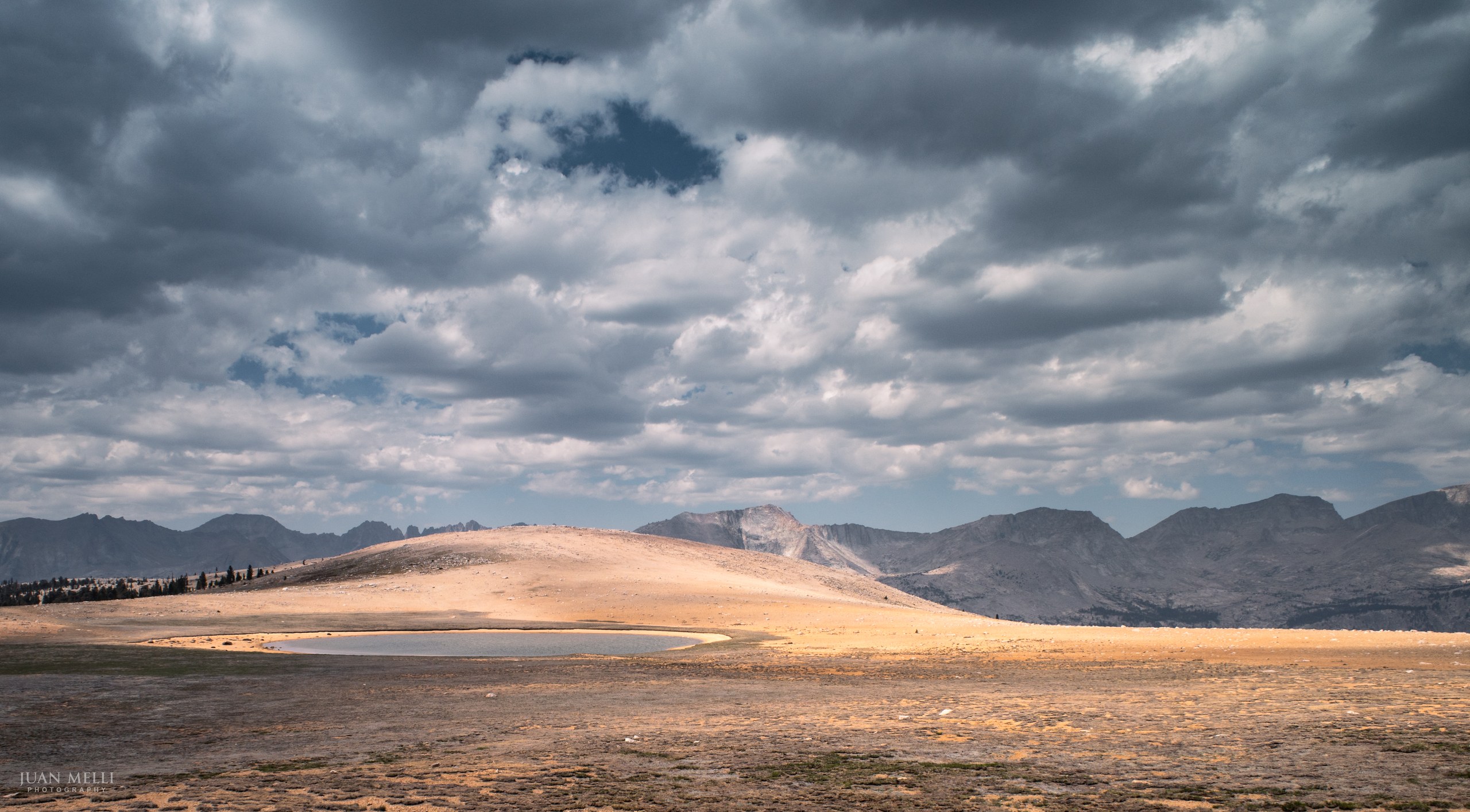

We continued on until we reached Wallace Creek, where there were plenty of campsites on the south side of the river, with bear boxes available, too. We set up camp, washed our clothes, jumped in the creek to rinse off, had dinner, and went to bed.
From my journal · Day 5
What a nice, gentle grade! A+ grade. We changed the bandaids on dad's hands. We are debating how far to go tomorrow: Guitar Lake, above Hitchcock Lakes, or all the way just below Trail Crest?
Day 6: Wallace Creek to the "Dazzle" campsite on Mount Whitney
We got up at 4 a.m. today, unsure how far we would go. We quickly passed Sandy Meadow and reached the junction where the Pacific Crest Trail continues south and the John Muir Trail splits off to the east. We passed Crabtree Meadow and then Timberline Lake before arriving at Guitar Lake. There were sooo many marmots at the lake, a popular camp spot the night before people summit Mount Whitney.
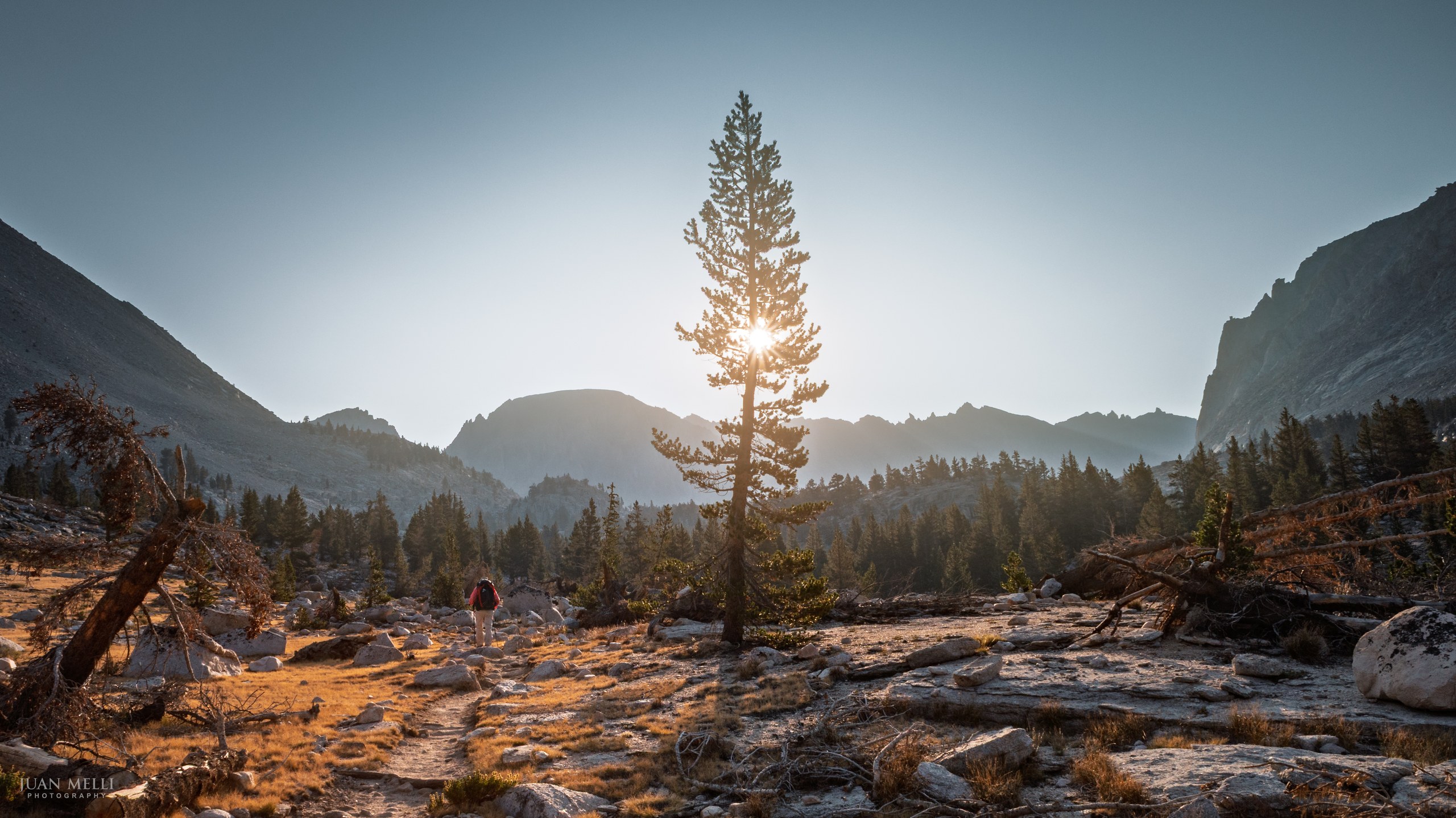

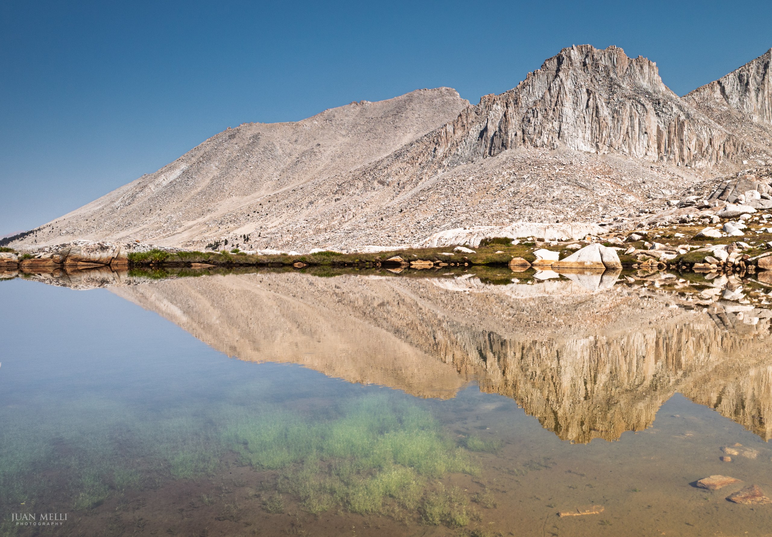

We got to Guitar Lake around 9:30 a.m. and had an early lunch. We debated whether to stop here or continue up the steep switchbacks on the west side of Mount Whitney to a set of tent sites known as the Dazzle campsite. That meant an exposed 2,000-foot climb over 2 miles. With no water at the campsite, we would have to haul up all the water we'd need for the rest of the day, for the summit the next morning, and for part of the way down until we reached a water source.
There was also the threat of thunderstorms, which is dangerous on an exposed campsite near the top of a mountain. When we passed Crabtree Meadow earlier, my brother had asked a ranger if she would camp up on the Whitney switchbacks. She said that because of the threat of thunderstorms, she would not.
We decided to go for it, filled up on water, and began the climb.
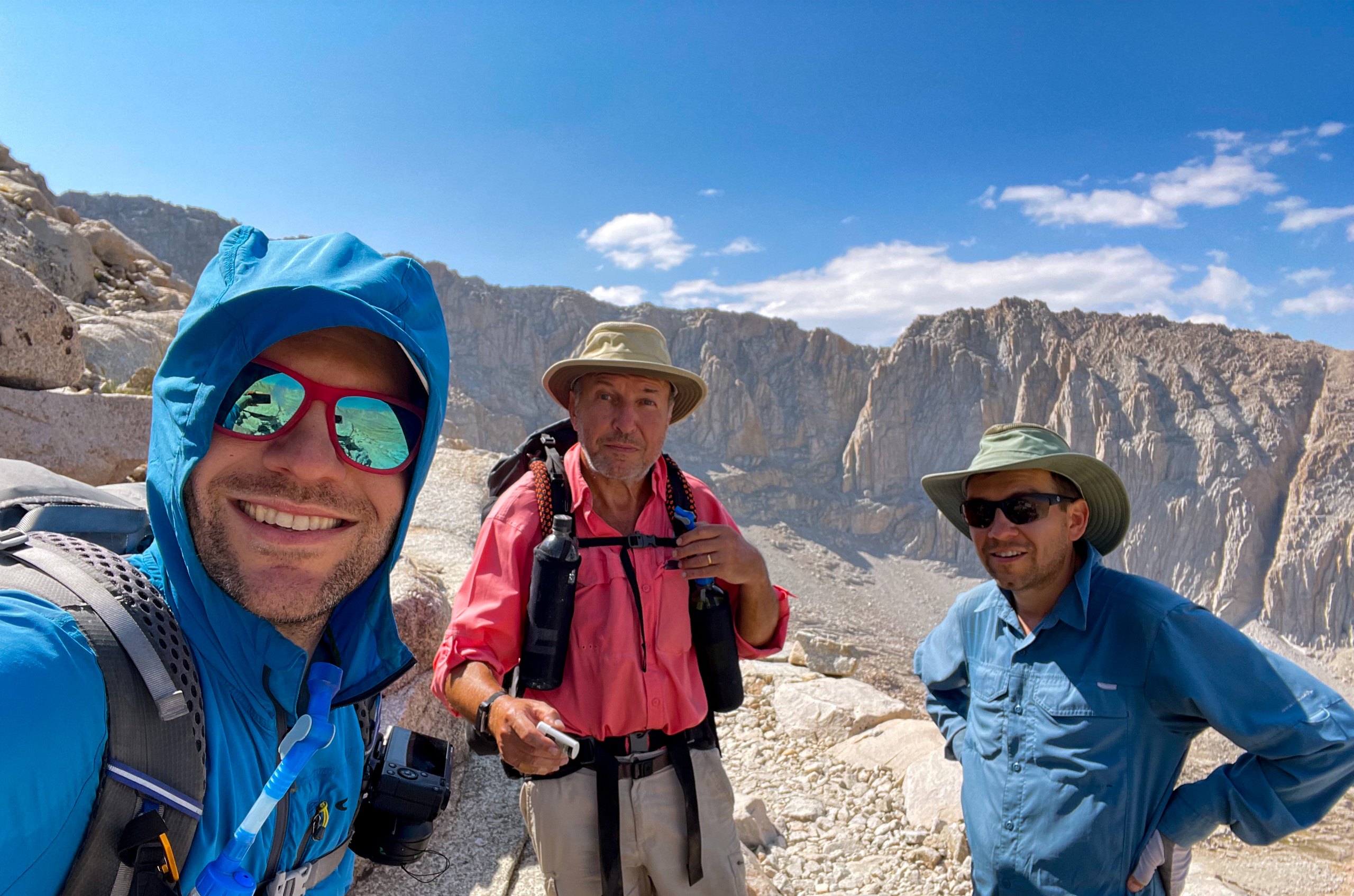
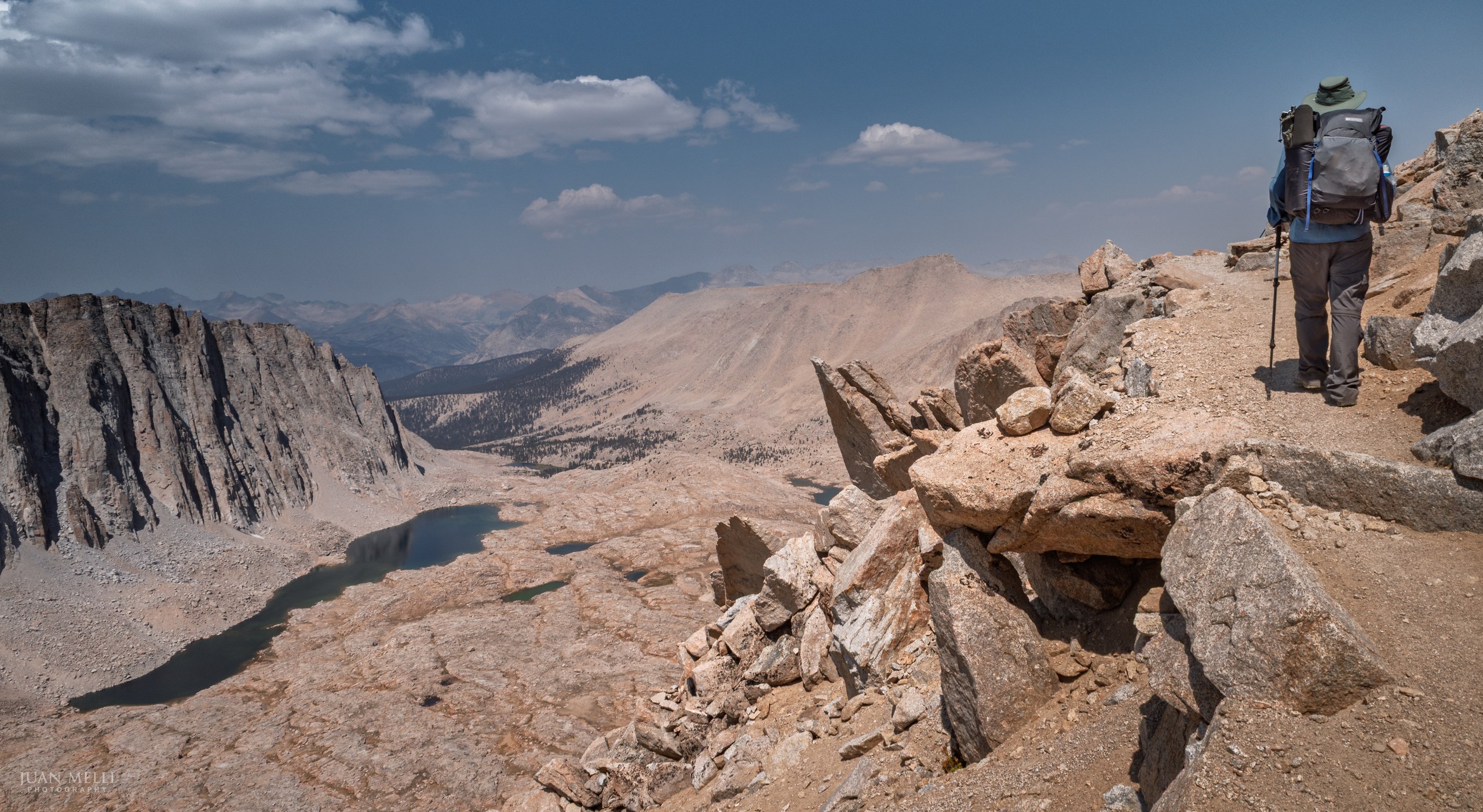
Finally, on the last switchback before the junction with the Mount Whitney Trail, we saw the campsite just above the trail. The site is flat and sheltered from the wind by rock walls. The views to the west, of Guitar Lake, the Hitchcock Lakes, and Mount Hitchcock, were unbeatable. We could hear thunder and see lightning nearby, but thankfully the storm stayed away.
Looking back, camping up there was a risky decision, and probably not one I would make now. When I returned to the Whitney area in 2026, we looked at the forecast and decided against camping that high.
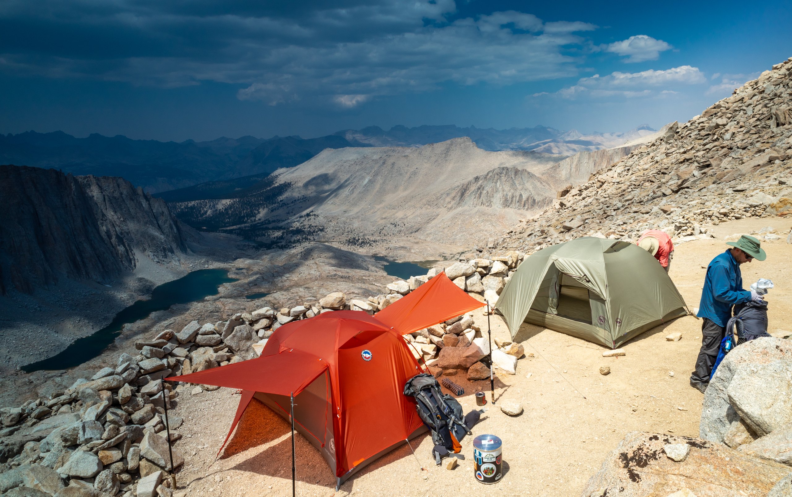
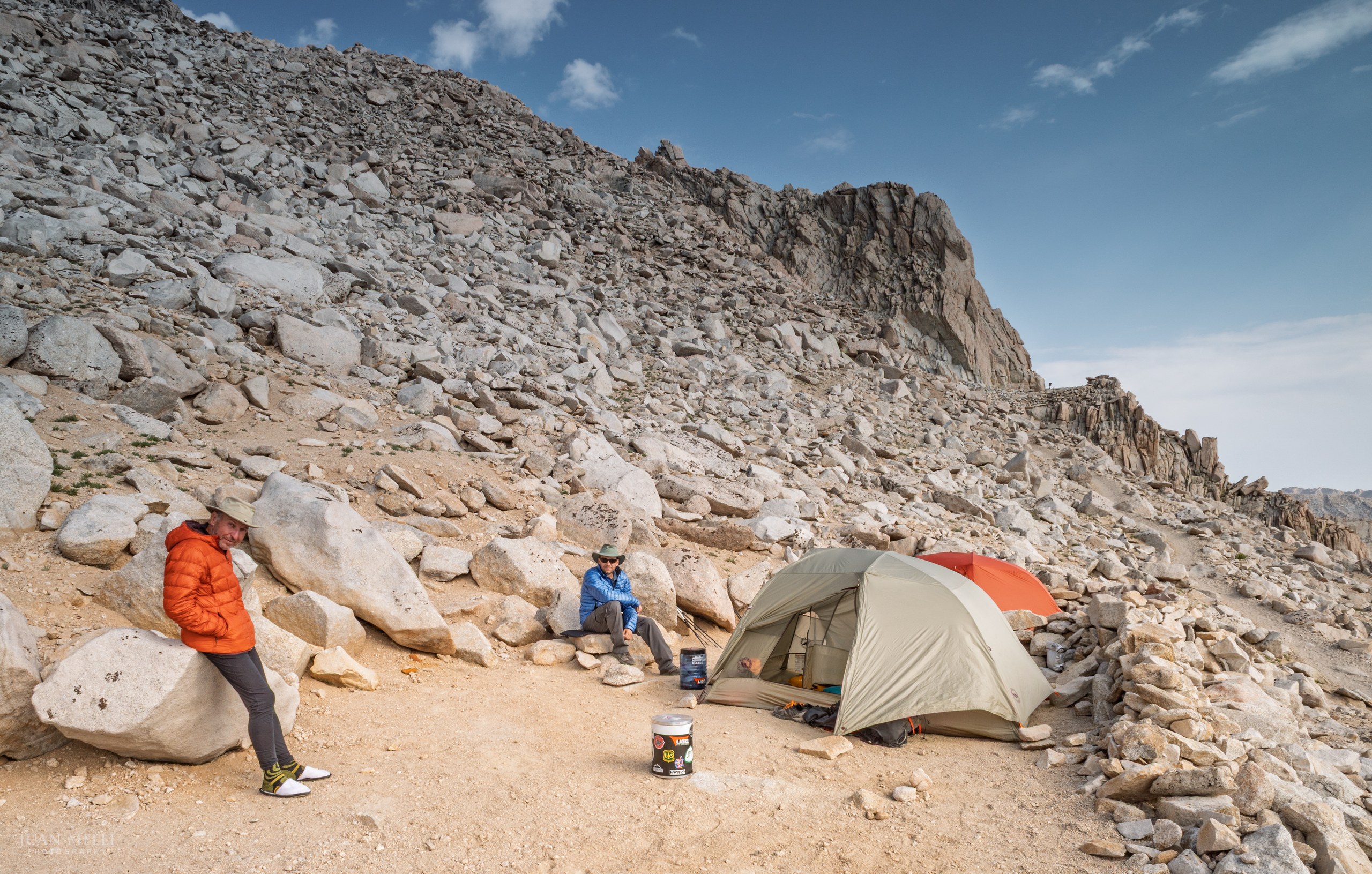
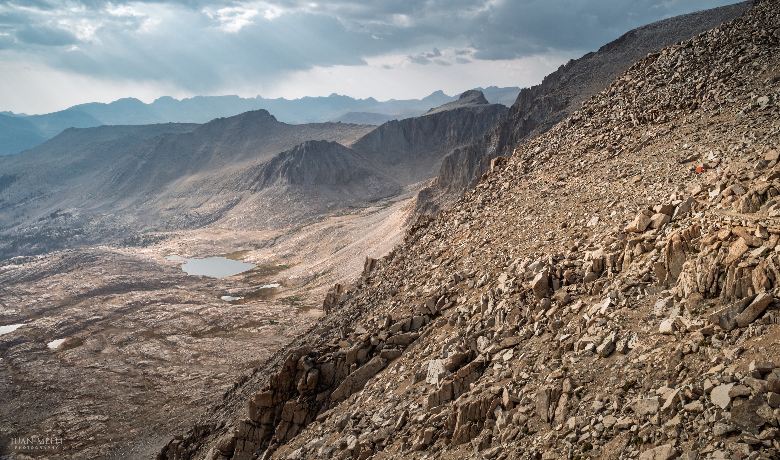

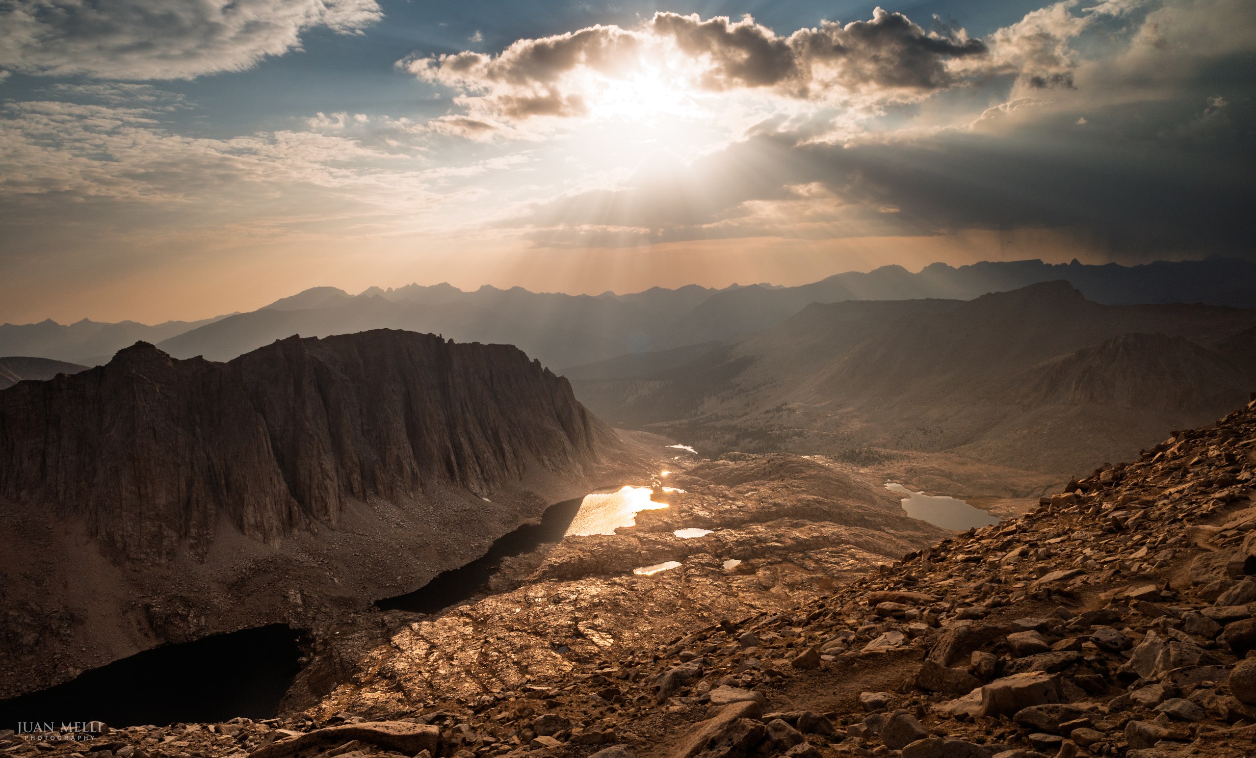
But the best part was the sunset. The clouds from the storm helped create the most incredible light show I've ever seen. We stayed up and watched the stars for a while, then went to bed to get ready for an early rise.
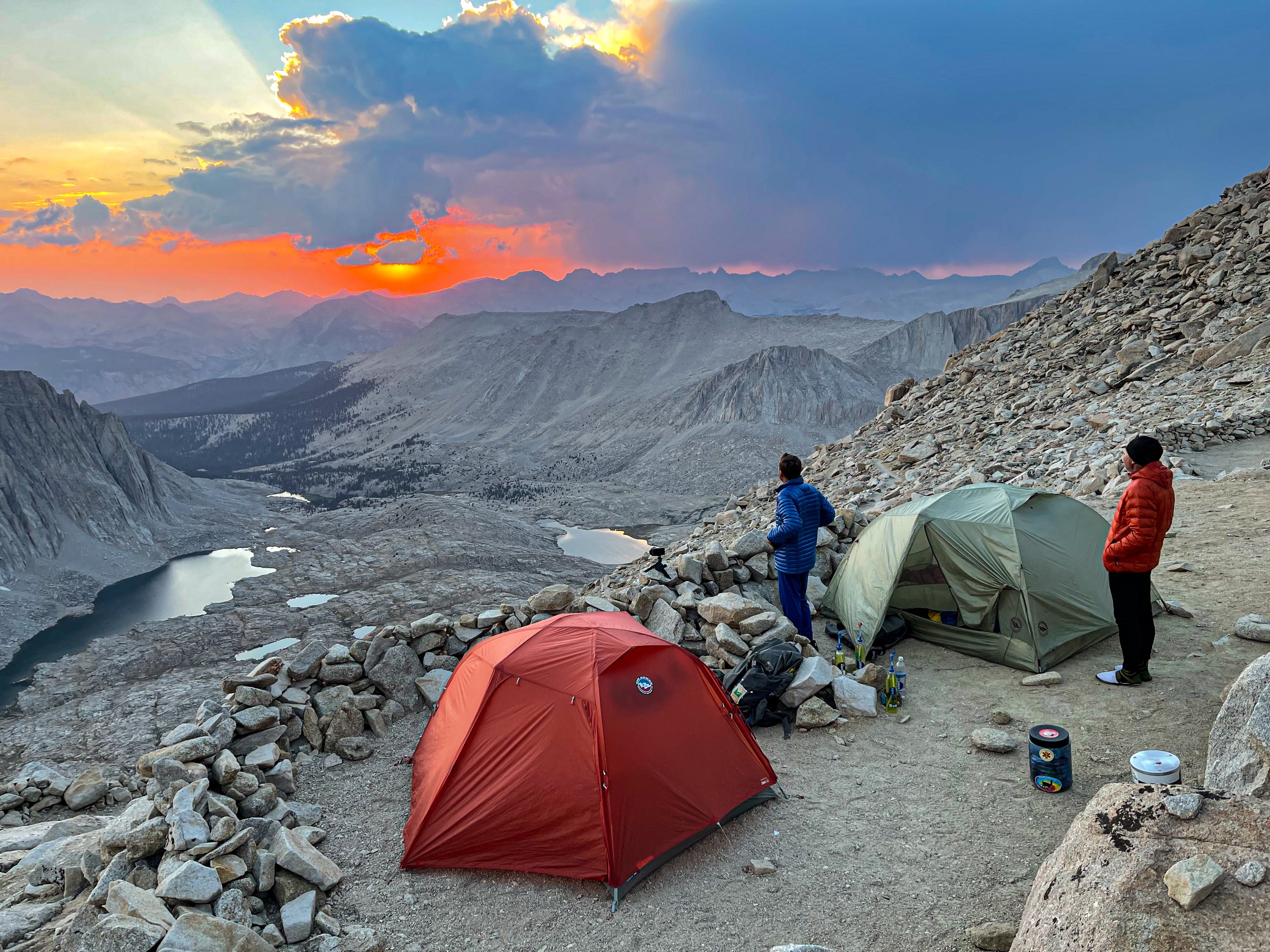
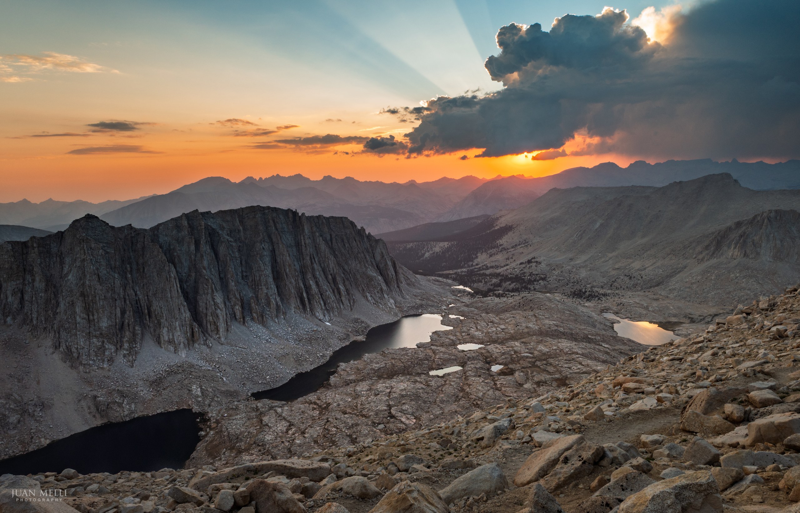

From my journal · Day 6
Well we did it! It turned out to be tough, but easier than we expected. And the view? Woooow. The best.
Day 7: Mount Whitney to Whitney Portal
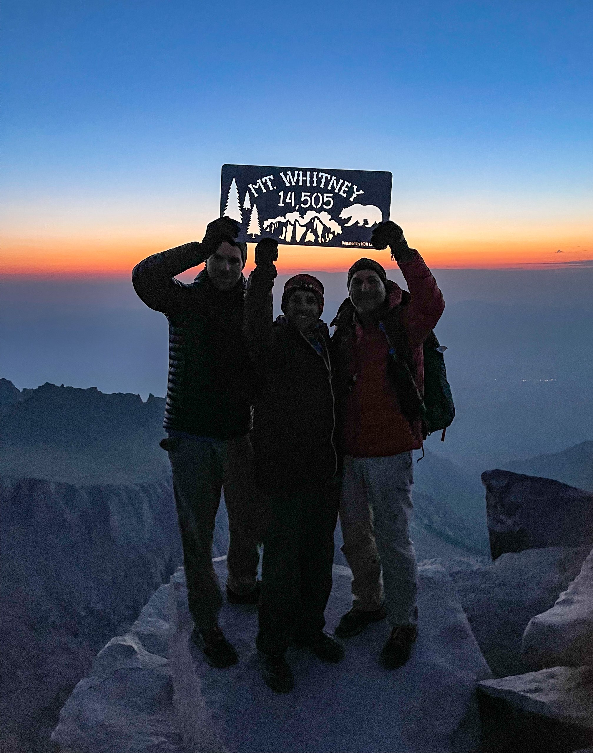
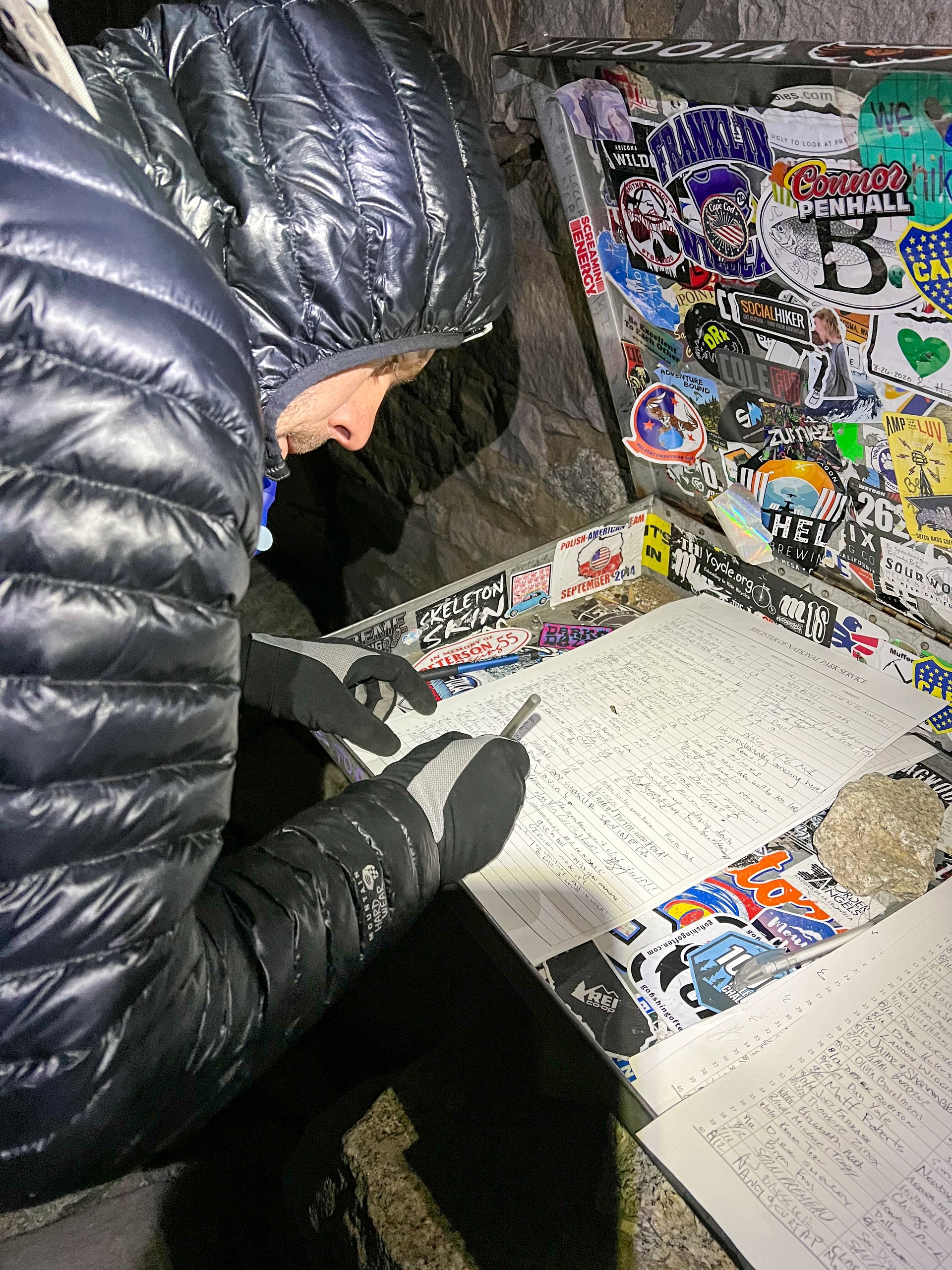
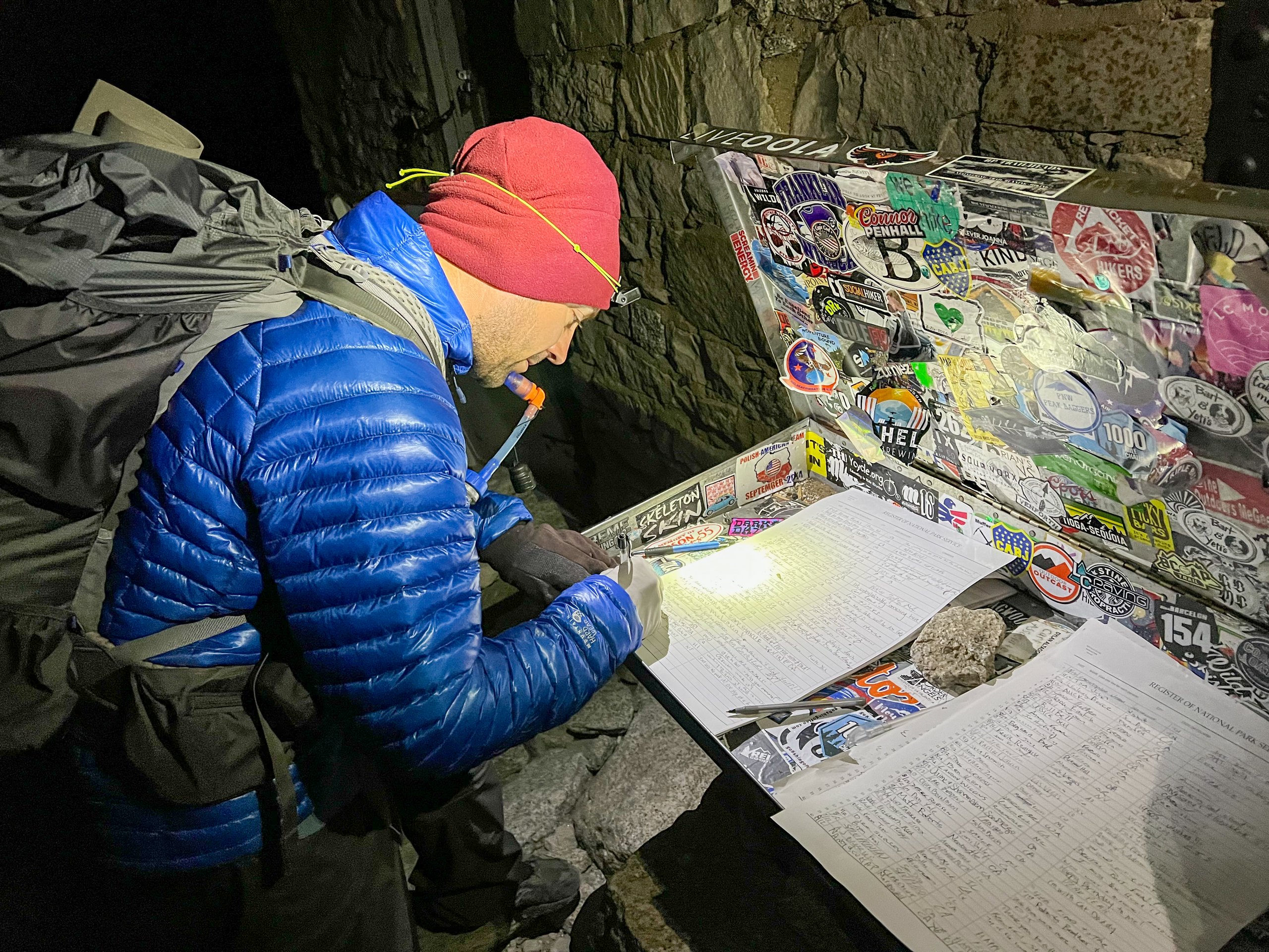
We woke up at 1 a.m. and hit the trail by 2 a.m. because we wanted to catch the sunrise on the summit of Mount Whitney. We stashed our bear cans at the junction with the Mount Whitney Trail to lighten our packs. We made better time than we expected and reached the summit at 4 a.m. At that hour, we were the only people there, and we signed the trail register at the Smithsonian Shelter.
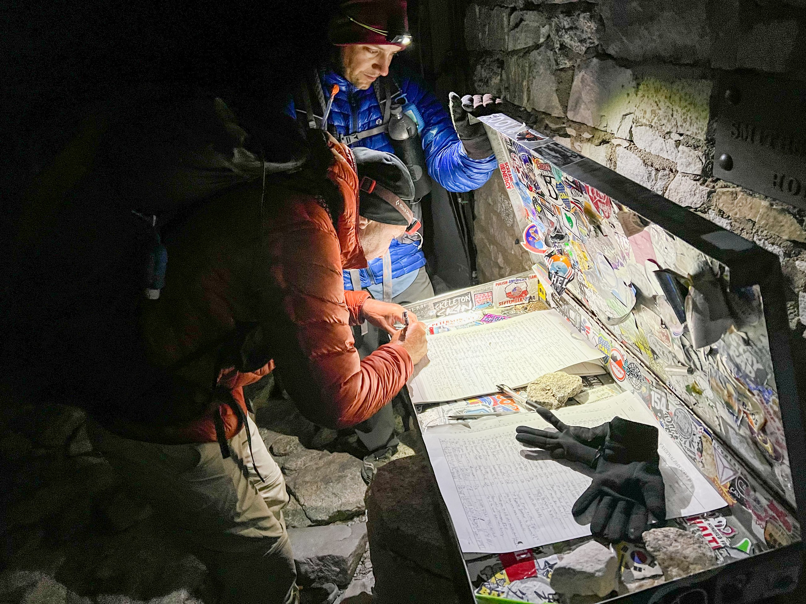
We sat on the cold granite, wrapped in our sleeping bags, and watched the Perseid meteor shower, which was near its peak. It was truly amazing to see so many shooting stars from the highest point in the lower 48 states. We were freezing, but it was so dark and quiet that it felt special to be alone up there, experiencing that moment together. We went inside the summit hut to try to warm up, even doing jumping jacks, but it didn't help. As it got lighter, a few more people arrived. We snapped some pictures and decided to start down rather than wait for the sun to come up.
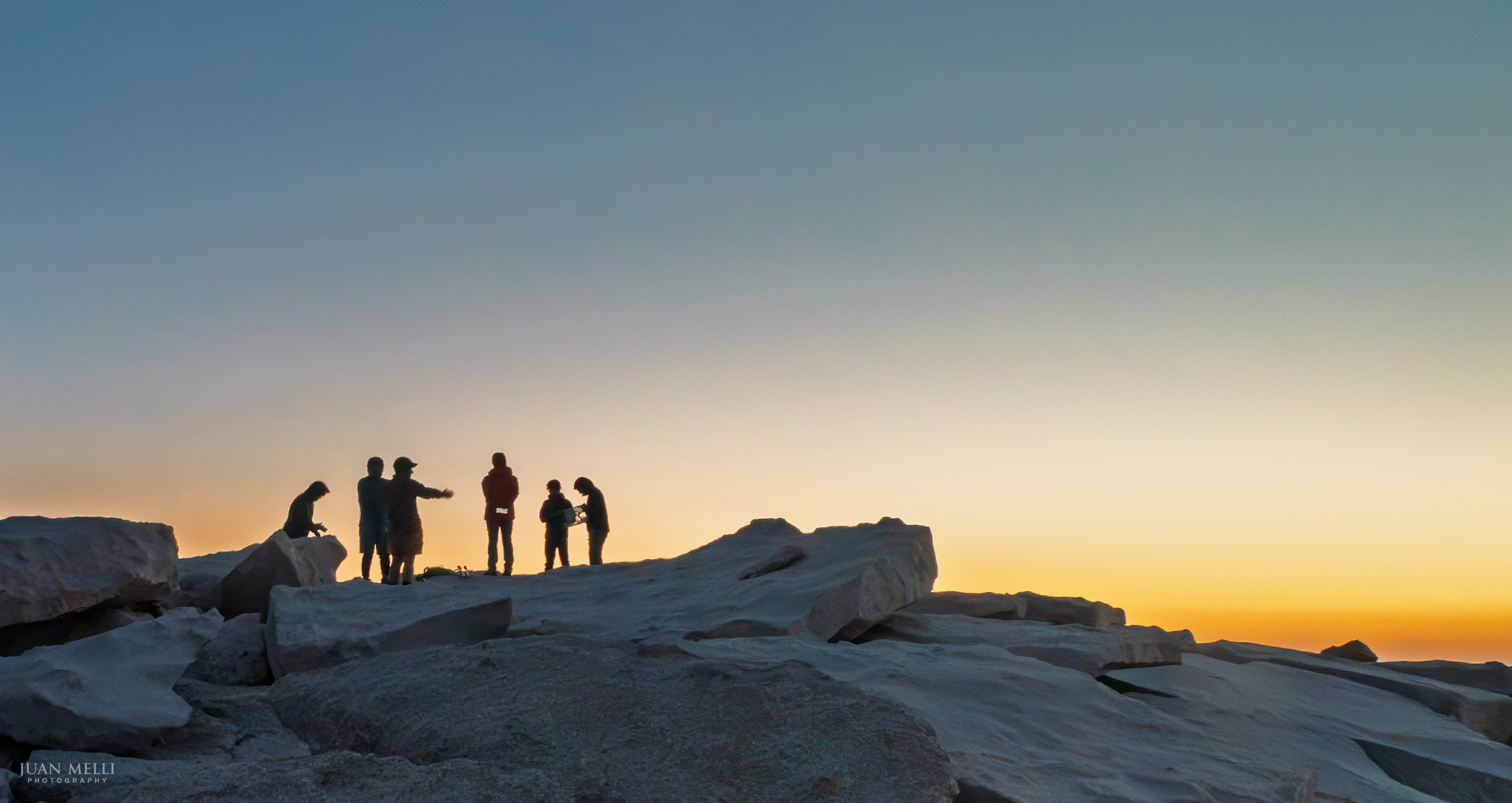

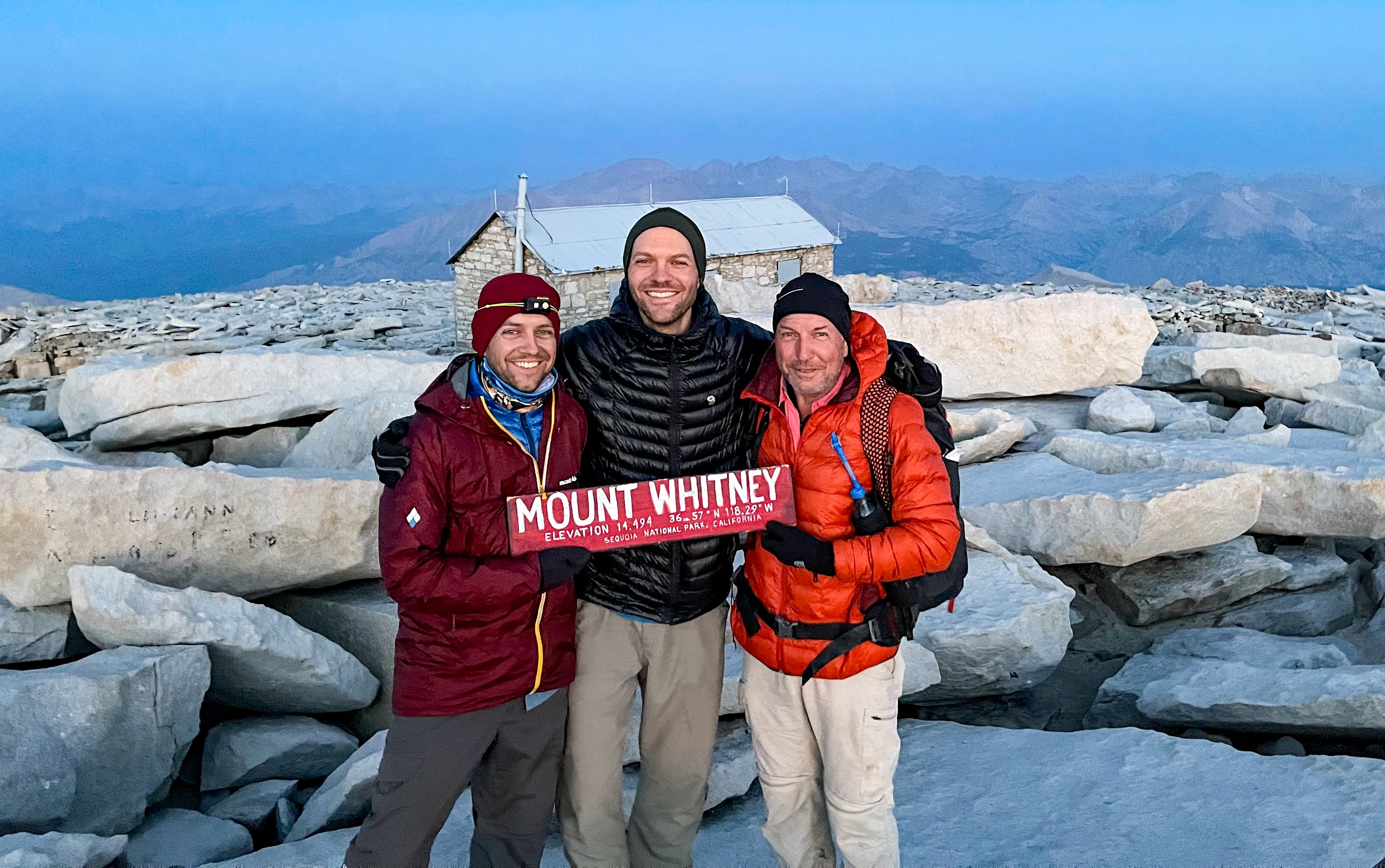
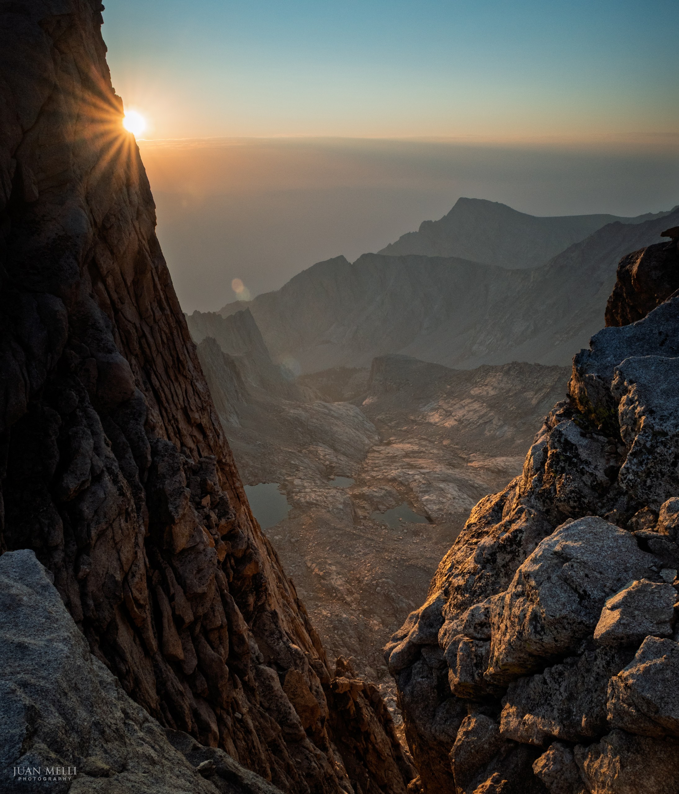
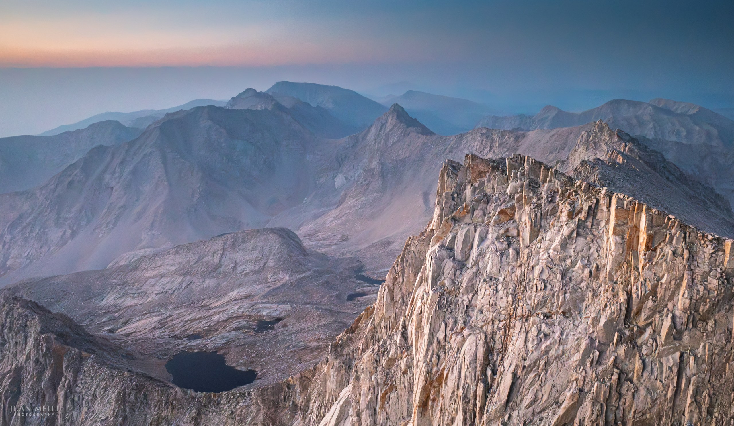
The descent from the summit to Trail Crest as the sun was rising was incredible, especially the way the light lit up the needles through the "windows" of Whitney.


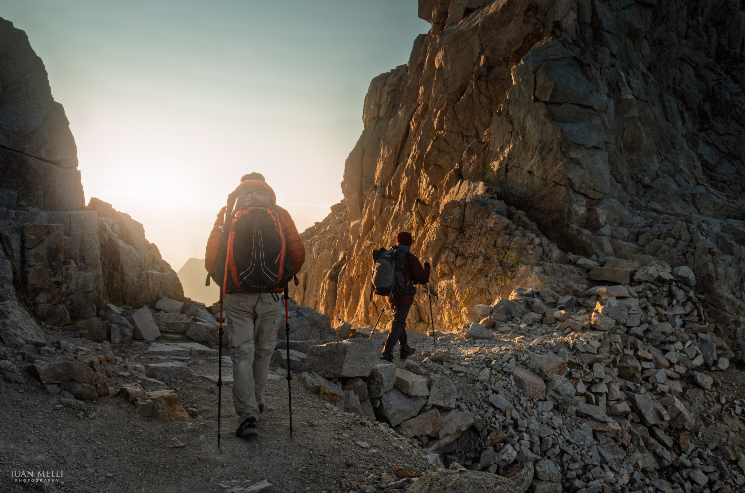
We reached the junction with the John Muir Trail again and picked up our bear cans. Oof. Our packs felt heavy again. Just beyond the junction we reached Trail Crest. At 13,645 feet, it's the highest trail pass in the United States and the boundary between Sequoia National Park and Inyo National Forest. Just beyond Trail Crest is the start of the "99 switchbacks," of which there are actually only 97. I counted.
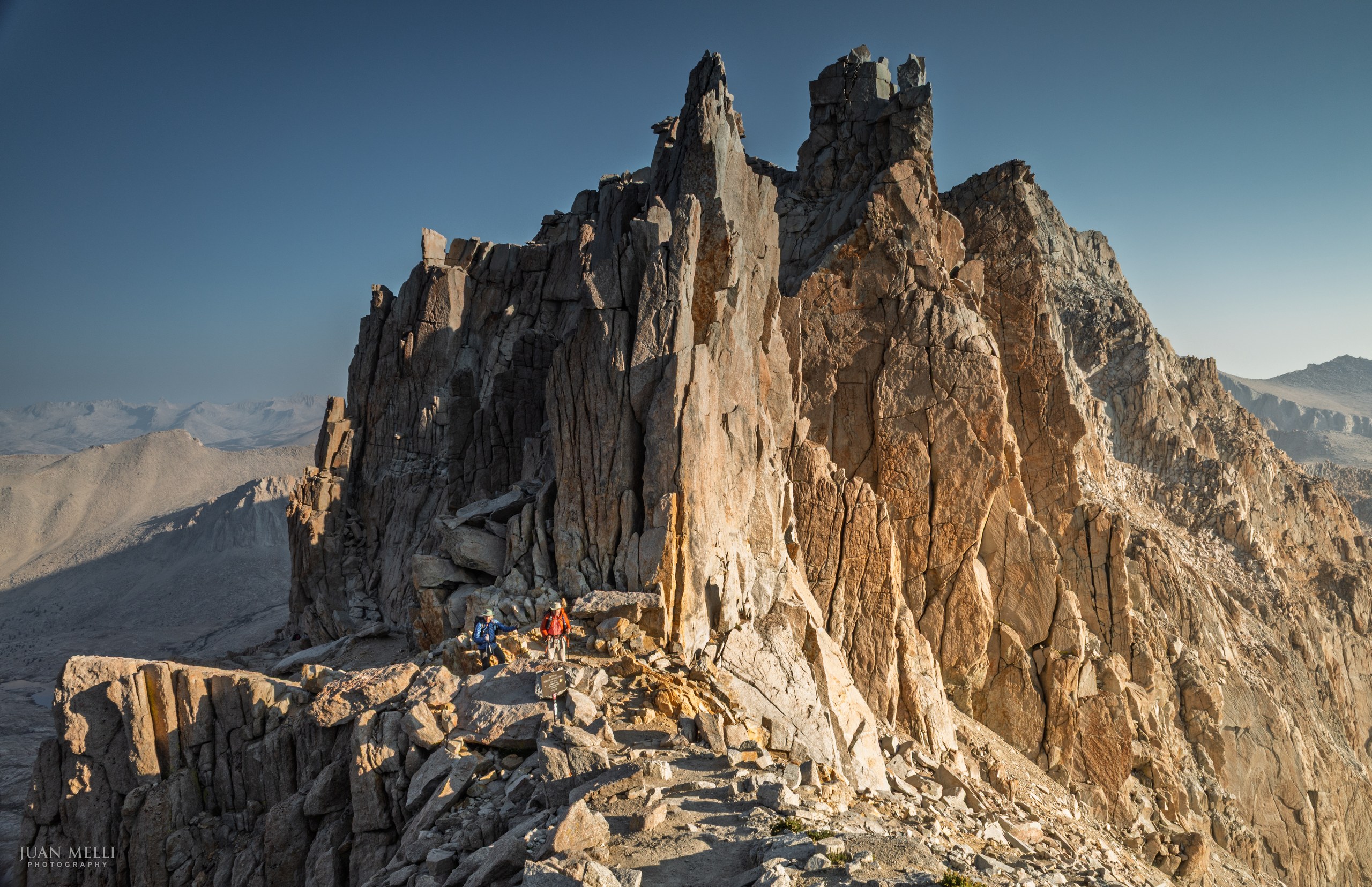
After the switchbacks, the trail reaches Trail Camp, the first place to refill water. The trail continues to descend past Mirror Lake and Outpost Camp, and the vegetation increased as the elevation dropped. Finally, we reached Whitney Portal, the end of our journey, where we celebrated with cheeseburgers, fries, beer, and ice cream.
From my journal · Day 7
Our packs were heavy again (I measured 26 pounds at the Whitney Portal scale). The descent was long and hot. Went to dinner at the Lone Pine BBQ place. Not the best, but it was food.
More photos from Part 3


After the JMT
The John Muir Trail turned out to be the start of something bigger. Since then, my dad and I have hiked from the Tetons to Kilimanjaro, backpacked the Wind River Range and the Sawtooths, and gone back to the Sierra from Cottonwood Lakes to Whitney Portal. I also went back to the Winds for Titcomb Basin.
Somewhere along the way, the camera went from something I tossed in my pack to one of the reasons I go, and I've upgraded it a few times since that Ricoh. But it started here, with an iPhone, a lot of early mornings, and my dad on the trail beside me.
Some of my photographs from the mountains are available as archival lustre prints in the Wild Places collection. And if you'd like new trip reports and photographs in your inbox, sign up for my newsletter.
Planning your own JMT hike?
These are the resources I leaned on most across all three sections.
The guidebook. Elizabeth Wenk's John Muir Trail: The Essential Guide to Hiking America's Most Famous Trail (Wilderness Press) is the Bible for planning a JMT hike. I used the 5th edition (2018) on these trips; the link goes to the current 6th edition (2022). There's also a south-to-north Kindle version if you're hiking northbound like we did in Part 1. If you want the data without the weight, Wenk's John Muir Trail Data Book (2nd edition, 2022) strips it down to the mileage, campsite and resupply tables.
On-trail navigation. The FarOut app (formerly Guthook) uses your phone's GPS to show the distance and climb to the next water source, campsite, or pass. I found it indispensable, both for planning and on the trail.
Paper map. National Geographic's John Muir Trail Topographic Map Guide is a waterproof booklet that slips into a pocket. It's what I carried. Erik the Black's John Muir Trail Pocket Atlas (3rd edition, about 3 ounces) is less detailed but gives more context and labels some spots the National Geographic map doesn't. I didn't carry it.
The big picture. AntiGravityGear's JMT/PCT elevation profile pocket map shows every climb and descent at a glance. I planned most days to cross a pass in the morning, and at 4.5 grams, there's no reason not to carry it.
Permits. The hardest part. Starts in Yosemite go through a weekly lottery on Recreation.gov up to 24 weeks ahead. Inyo National Forest trailheads, like Duck Pass and Bishop Pass, open on Recreation.gov six months ahead, with more released two weeks out. Finishing at Whitney Portal adds another layer if your trip starts on Inyo National Forest, as ours did. You select the "Overnight Exiting Mt. Whitney" permit type, and the Trail Crest exit quota is reserved together with your entry point, so both have to line up on the same reservation. Only a limited number of people may descend to the Portal each day, so that allotment goes fast (I wrote about it in my Cottonwood Lakes trip report). Hikers who begin in another park or forest are exempt from the exit quota. The rules change, so check the current details before you plan.
Other hikers. The annual JMT Hiker Survey shows how real hikers did it, from how long they took to what they carried. For questions, the John Muir Trail group on Facebook has more than 50,000 members, and the John Muir Trail group on Groups.io, the successor to the old Yahoo group, has years of searchable answers.
For the long view. Hal Roth's Pathway in the Sky (1965) is probably the most complete history of the trail itself; it's out of print, but used copies are easy to find. Francis Farquhar's History of the Sierra Nevada covers the whole range, and Damon Corso's Discovering the John Muir Trail is mostly big, full-color photography.